Plizio Visual Lab
Dandakaranya Plateau
Weather…
Water temperature…
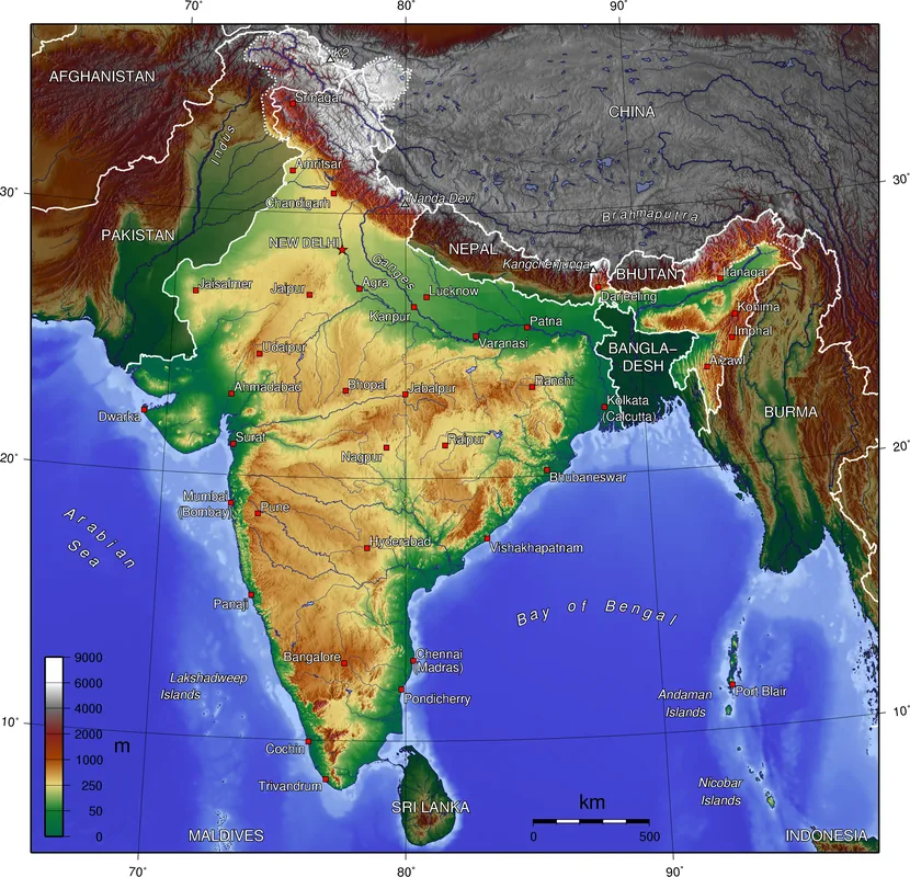
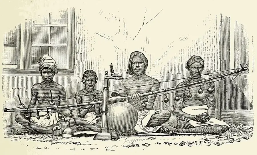
The Dandakaranya Plateau is a vast physiographic region in east-central India, covering approximately 92,200 square kilometers across the states of Chhattisgarh, Odisha, Telangana, and Andhra Pradesh. Historically, the region is deeply rooted in Indian mythology, particularly the Ramayana, where it is described as the forest where Lord Rama spent a significant portion of his 14-year exile. Geographically, it is characterized by rugged hills, dense deciduous forests, and an average elevation ranging from 600 to 900 meters above sea level. The plateau is drained by major rivers like the Indravati and Sabari, which are tributaries of the Godavari river. Economically, it is one of the most mineral-rich areas in India, housing massive deposits of high-grade iron ore in the Bailadila range. Despite its industrial potential, the region remains home to various indigenous tribal communities, such as the Gonds, who maintain their traditional lifestyle amidst the dense vegetation and challenging terrain.
- Location: India
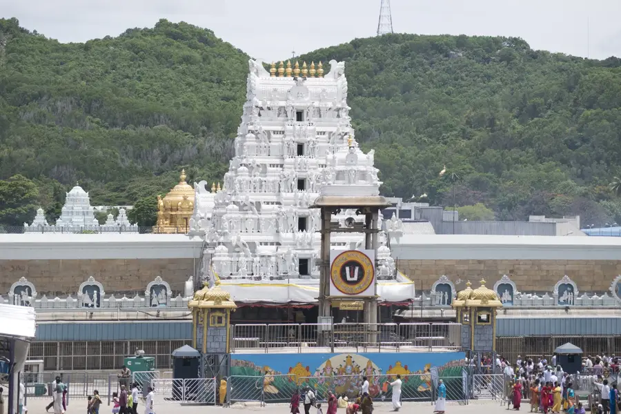
- Top sights: Gurudwara · Hinglajin Mandir
- Nearby: Odalarevu (40 km)
Best time to visit & climate
The most pleasant time to visit is Jan, Feb, Nov.
| Jan | Feb | Mar | Apr | May | Jun | Jul | Aug | Sep | Oct | Nov | Dec | |
|---|---|---|---|---|---|---|---|---|---|---|---|---|
| Avg °C | 19 | 23 | 28 | 31 | 32 | 28 | 25 | 25 | 25 | 23 | 20 | 18 |
| Rain mm | 10 | 7 | 23 | 51 | 71 | 228 | 377 | 382 | 269 | 104 | 20 | 9 |
📋 Practical info
Geography
Facts
- The total area of the plateau is approximately 92,200 square kilometers.
- It spans across four Indian states: Chhattisgarh, Odisha, Telangana, and Andhra Pradesh.
- The average elevation of the region ranges between 600 and 900 meters.
- The Indravati River is the primary waterway draining the plateau region.
- The Bailadila range within the plateau holds vast deposits of high-grade iron ore.
- The region is historically associated with Lord Rama's exile in the Ramayana.
Explore nearby
Notable places around
Route planner — Car & Motorhome
Where do you start? We build the route here, with stops and country notes along the way.
© OpenStreetMap contributors · OpenRouteService
Sights in the town Dandakaranya Plateau (2)
Sights nearby
Frequently asked questions
Where is the Dandakaranya Plateau?
What does the name Dandakaranya mean?
Are there waterfalls nearby?
Can you experience tribal culture there?
Is the region safe to travel?
Dandakaranya Plateau: where is it located?
Dandakaranya Plateau: what is there to see?
Dandakaranya Plateau: when is the best time to visit?
Dandakaranya Plateau: why is it worth visiting?

Nearby cities