Plizio Visual Lab
Danube

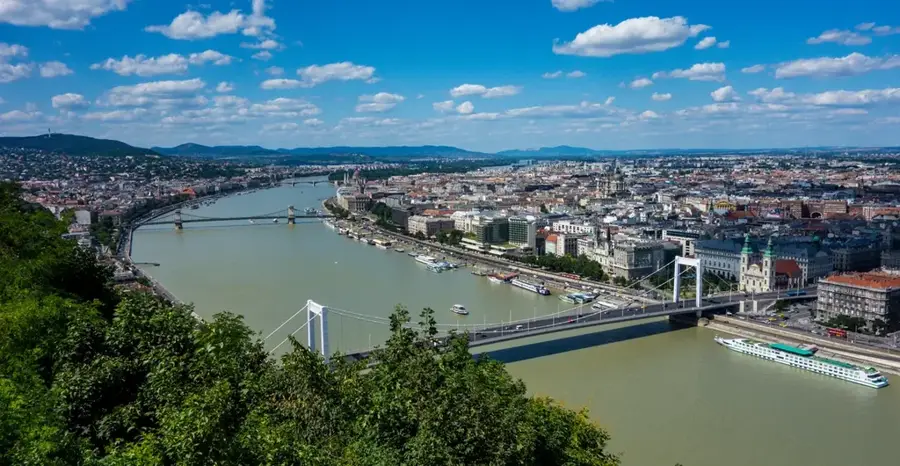
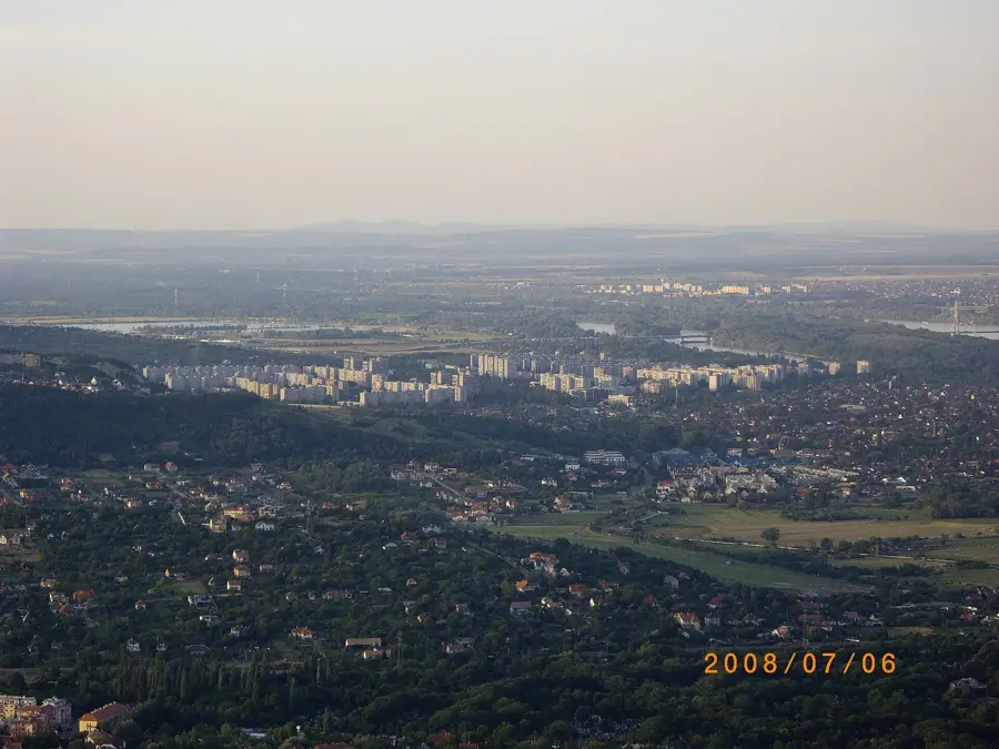
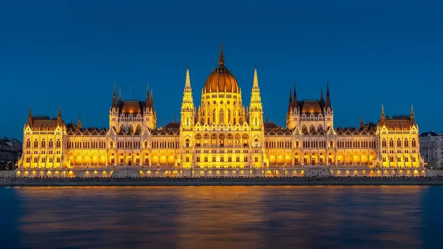
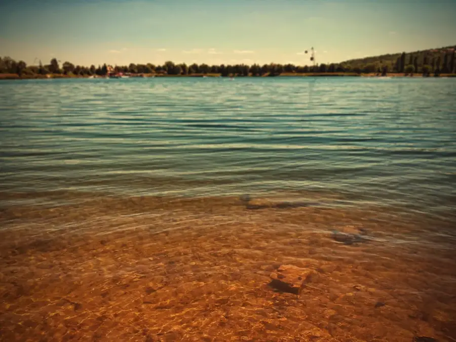
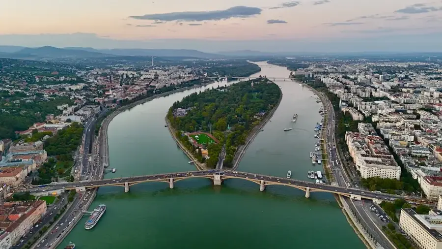
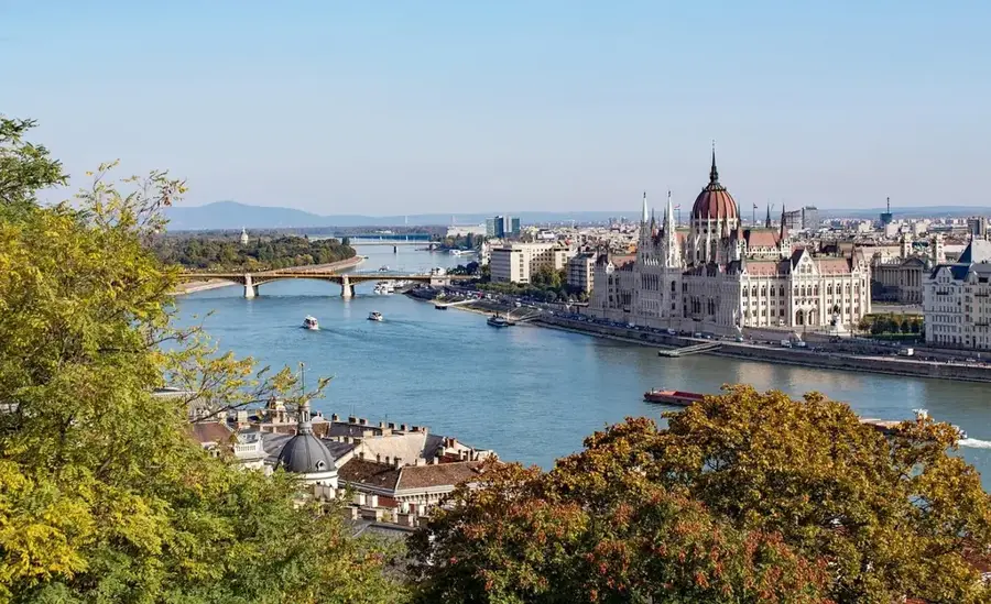
The Danube is the second-longest river in Europe, stretching approximately 2,850 kilometers, and is unique for being the only major European river to flow from west to east. It originates in the Black Forest of Germany and empties into the Black Sea through the vast Danube Delta in Romania and Ukraine. Along its course, the river flows through or borders ten countries and connects four national capitals: Vienna, Bratislava, Budapest, and Belgrade. Historically, the Danube served as a vital trade route and a natural northern frontier of the Roman Empire, known as the Limes. Today, it remains economically crucial for inland shipping, hydroelectric power generation, and providing drinking water to millions of people. The Danube Delta is a UNESCO World Heritage site and represents one of the most biodiverse ecosystems in the world. Despite environmental challenges, the Danube continues to be a central artery for European cultural and economic integration.
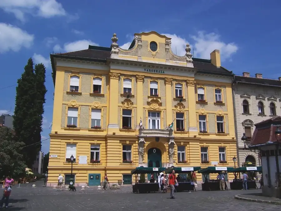
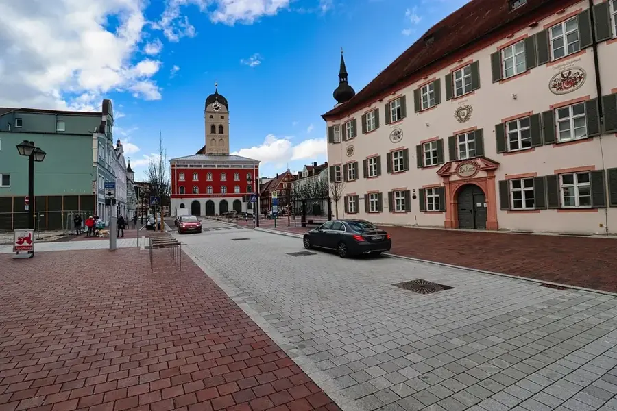
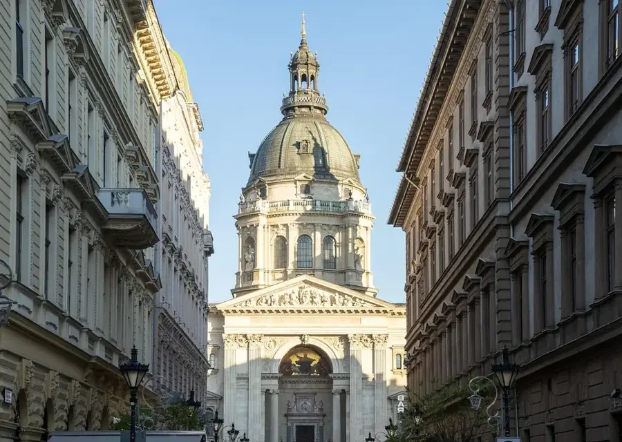
- Location: Hungary, Hungary
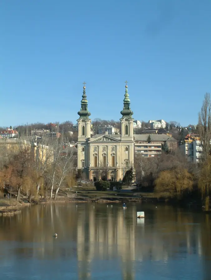
- Top sights: Orgona 22 Gallery · XVIII sz-ban átalakitott középkori épulet maradványa · French Institute
- Nearby: Óbuda (4 km)
Best time to visit & climate
The most pleasant time to visit is Jun–Aug.
| Jan | Feb | Mar | Apr | May | Jun | Jul | Aug | Sep | Oct | Nov | Dec | |
|---|---|---|---|---|---|---|---|---|---|---|---|---|
| Avg °C | -2 | 0 | 5 | 11 | 16 | 21 | 23 | 22 | 17 | 11 | 5 | 0 |
| Rain mm | 39 | 40 | 41 | 35 | 65 | 70 | 66 | 63 | 57 | 51 | 44 | 43 |
📋 Practical info
Geography
Facts
- Second-longest river in Europe at 2,850 kilometers
- The river passes through or borders ten European countries
- Connects four capital cities: Vienna, Bratislava, Budapest, and Belgrade
- Empties into the Black Sea via the UNESCO-listed Danube Delta
- The drainage basin spans approximately 801,463 km²
- Has functioned as a key trade route since Roman times
Explore nearby
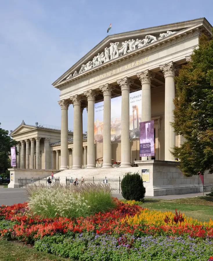
Notable places around
Route planner — Car & Motorhome
Where do you start? We build the route here, with stops and country notes along the way.
© OpenStreetMap contributors · OpenRouteService
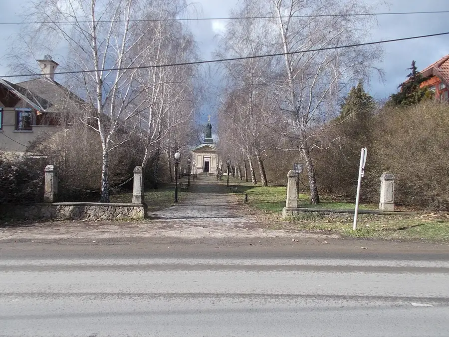
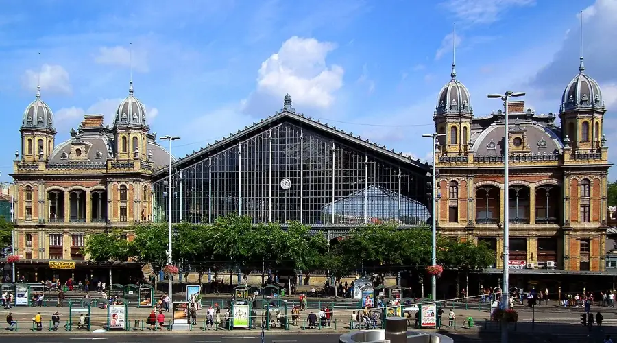
Sights in the town Danube (10)
Alagút, keleti bejárat
Eastern entrance of the tunnel under Castle Hill in Budapest.
Karmelita kolostor🏛 museum
Former Carmelite monastery and church, baroque, early 18th century. Former Várszínház.
volt Karmelita templom⛪ church
Former Roman Catholic monastic church, former Várszínház.
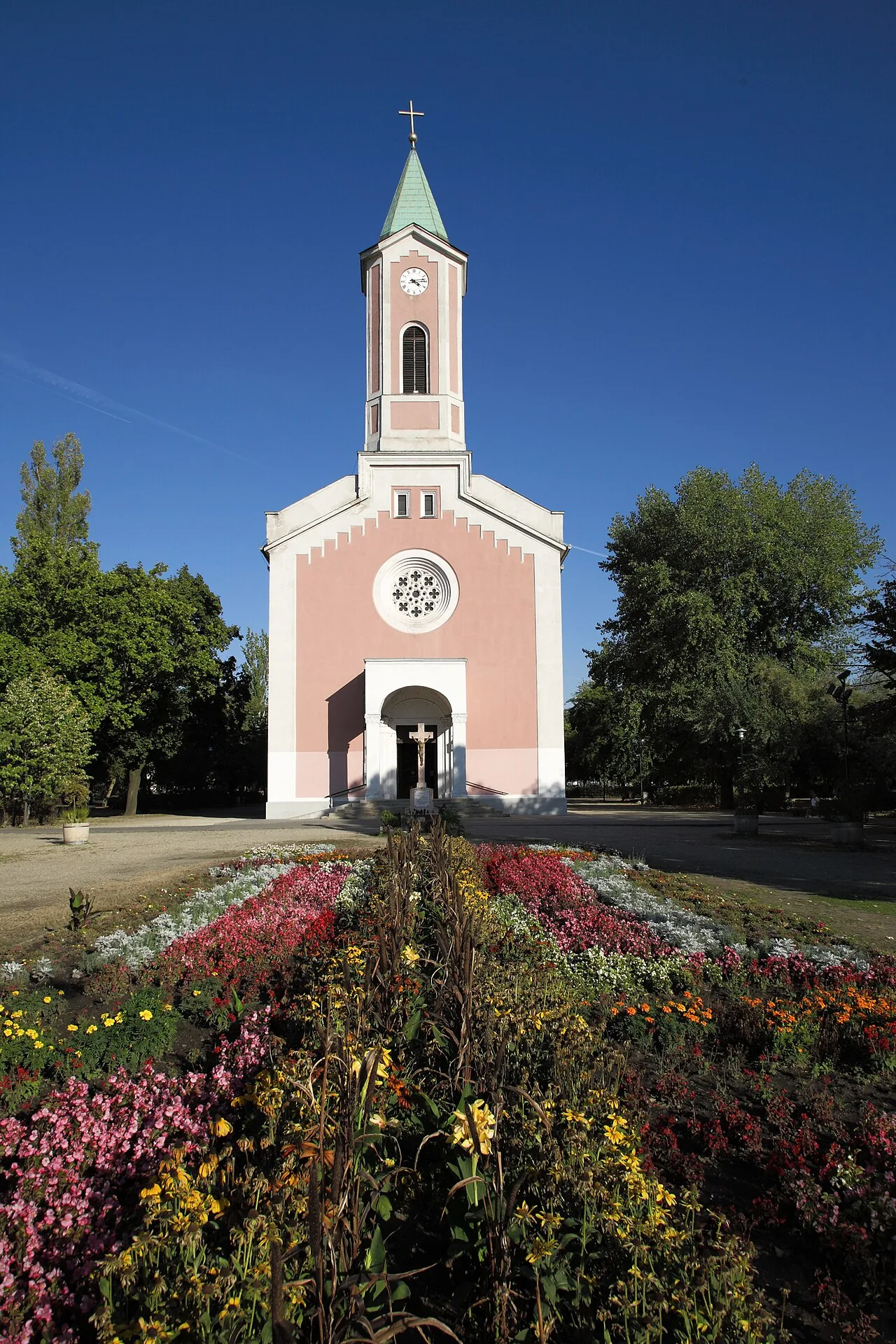
Árpád-házi Szent Erzsébet-templom
Church in Budapest, Hungary, dedicated to Saint Elizabeth.
Sándor-palota🏰 castle
Building in Budapest, official residence of the President of Hungary.
Batthyány-palota🏰 castle
Building on Dísz Square, Budapest District I, Hungary.
Sights nearby
Frequently asked questions
Which cities in the Danube Bend are worth visiting?
Are there Danube cruises in Budapest?
Can you cycle along the Danube?
What is the water quality of the Danube in Hungary?
What islands are in the Danube near Budapest?
Danube: where is it located?
Danube: what is there to see?
Danube: when is the best time to visit?
Danube: why is it worth visiting?

Nearby cities
History & landmarks


Nature
More places