Plizio Visual Lab
Beyla
ℹ️Practical info — Beyla
▾
🌤 Weather — 5 days
📍 Nearby
Sights nearby
💡 Tips
- Expect dusty roads due to the mining activity; consider wearing a face mask.
- Cash is essential, as ATMs are scarce and unreliable.
- The wet season makes some roads impassable, so plan travel between November and April.
- French is the official language, but knowing a few words in Kpelle will be highly appreciated.
🍽 Food
A popular lunch at local canteens next to the market.
Well-suited street snack prepared fresh along the main road.
Try it at small local cafes in the morning.
🛍 Shopping · 🧘 Quiet spots
Look for local artisans on the outskirts of the town.
You can find fresh fruit and colorful fabrics at the central market.
Take a stroll early in the morning before traffic starts.
Quiet places for a little rest while exploring.
Water temperature…
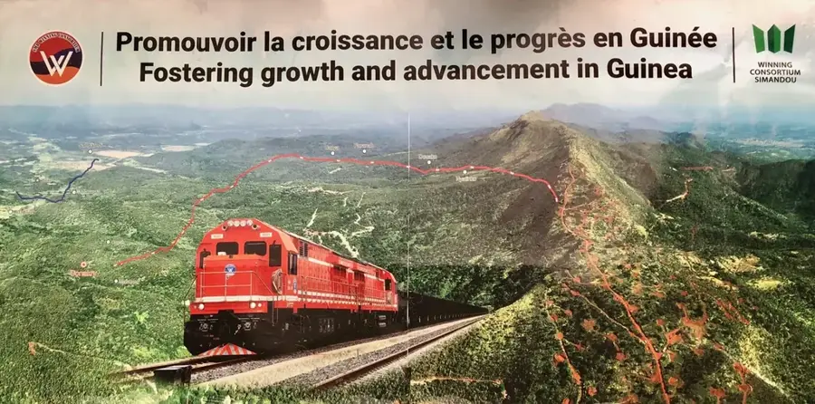
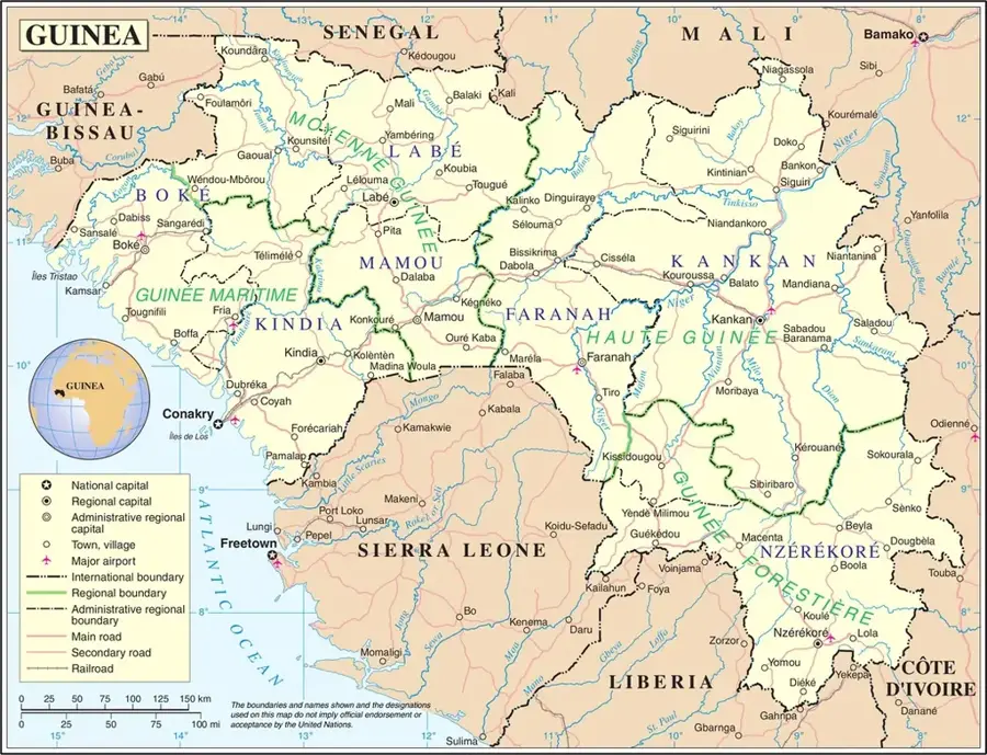
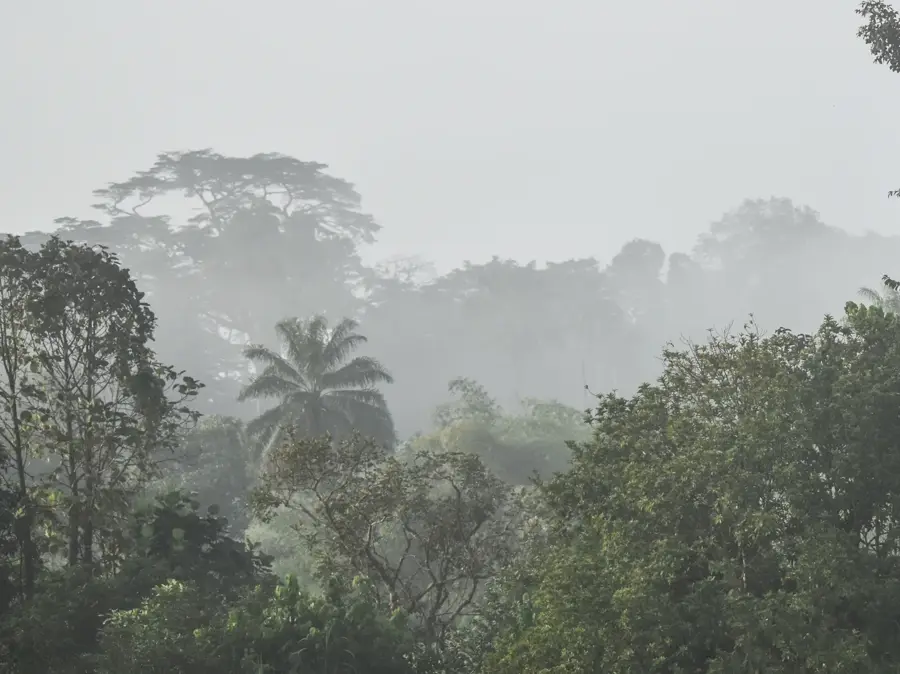
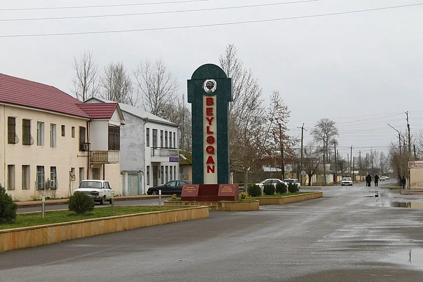
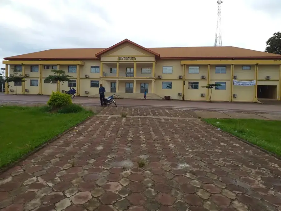
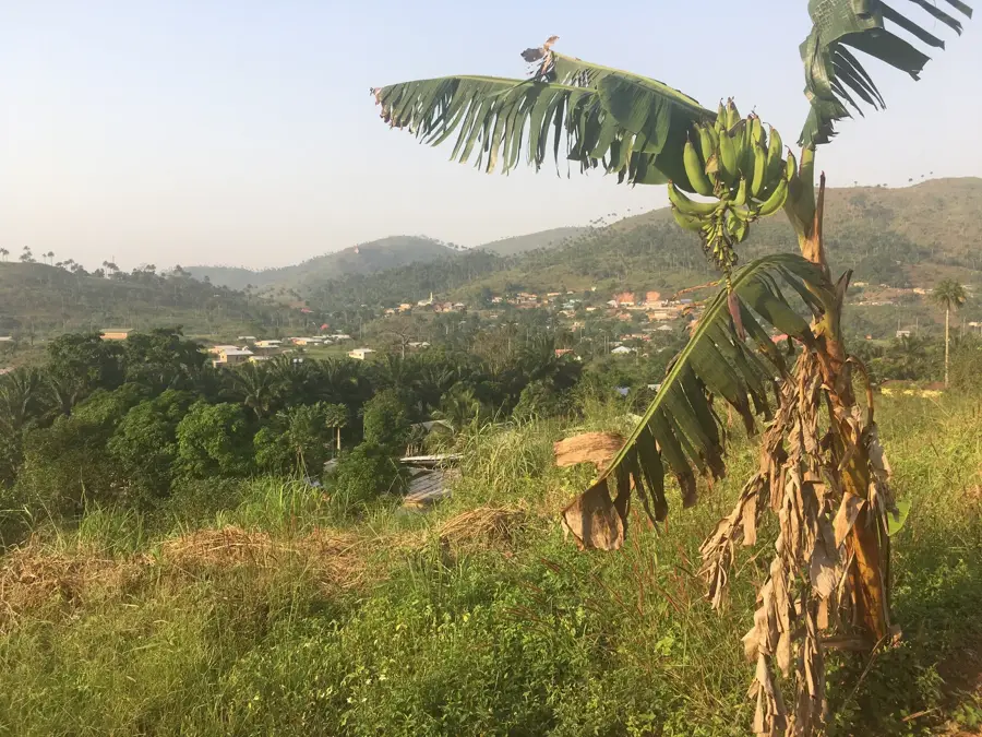
Beyla is a prominent town in southeastern Guinea, located within the Guinée Forestière (Forested Guinea) region. As the administrative capital of the Beyla Prefecture, it serves as a crucial economic and cultural hub near the borders with Liberia and Ivory Coast. The geographical setting is characterized by rolling hills and lush tropical vegetation. Beyla has gained international recognition due to its proximity to the Simandou mountains, which contain one of the world's largest untapped deposits of high-grade iron ore. The ongoing development of this massive mining project is gradually transforming the town's infrastructure, including plans for a trans-Guinean railway. Despite this industrial focus, the local economy remains deeply rooted in agriculture, with the region producing coffee, rice, tobacco, and significant quantities of kola nuts, a staple of regional trade. The population is primarily Malinké, and the town retains strong traditional customs. The climate in Beyla is cooler and more humid than the northern savannas, supporting a rich natural environment that defines the daily life and culture of the local communities.
- Location: Guinea
- Nearby: Kérouané (39 km)
Best time to visit & climate
The most pleasant time to visit is Jan, Nov, Dec.
| Jan | Feb | Mar | Apr | May | Jun | Jul | Aug | Sep | Oct | Nov | Dec | |
|---|---|---|---|---|---|---|---|---|---|---|---|---|
| Avg °C | 23 | 25 | 26 | 26 | 26 | 25 | 24 | 23 | 23 | 24 | 24 | 23 |
| Rain mm | 4 | 20 | 56 | 93 | 121 | 171 | 200 | 308 | 217 | 118 | 30 | 5 |
Geography
Facts
- Beyla is the main gateway and logistics hub for the Simandou iron ore project.
- The town is located in the southeastern Forested Guinea region.
- Kola nuts grown in the Beyla area are famous throughout West Africa.
- It is one of the most remote prefecture capitals, over 800 km from Conakry.
- The region experiences a tropical highland climate with significant rainfall.
- The town's growth is being accelerated by international mining investments.
Explore nearby
Notable places around
Route planner — Car & Motorhome
Where do you start? We build the route here, with stops and country notes along the way.
© OpenStreetMap contributors · OpenRouteService
Frequently asked questions
Why is Beyla economically important?
What is the landscape around Beyla like?
Which ethnic group lives here?
Is the city accessible to tourists?
What can you visit nearby?
Beyla: where is it located?
Beyla: when is the best time to visit?
Beyla: why is it worth visiting?

Nearby cities


Nature

More places