Plizio Visual Lab
Mount Kakoulima
Weather…
Water temperature…
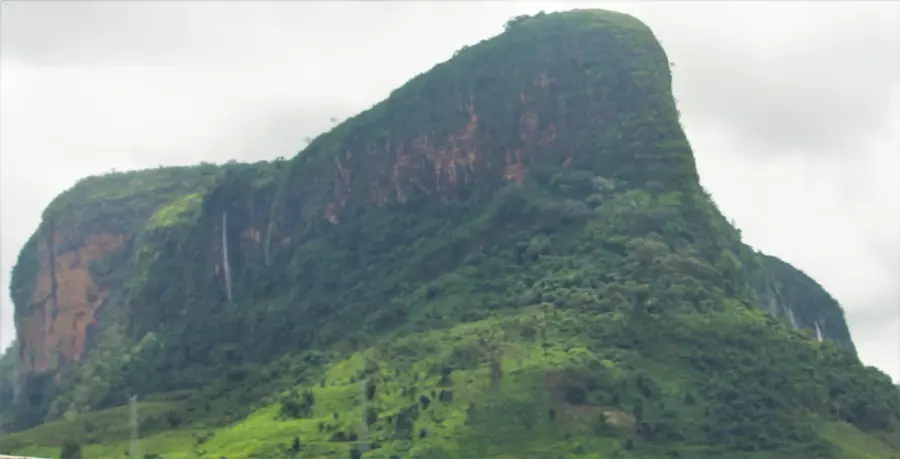
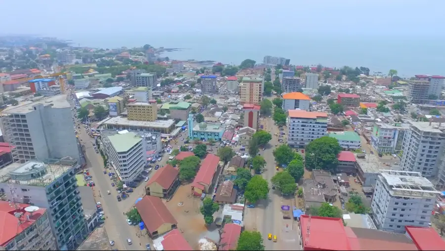
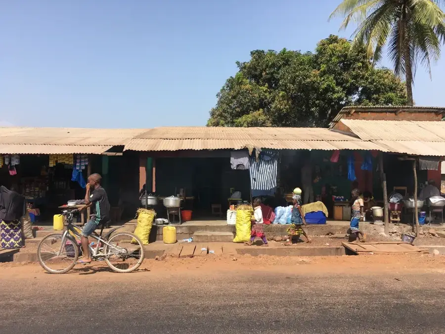
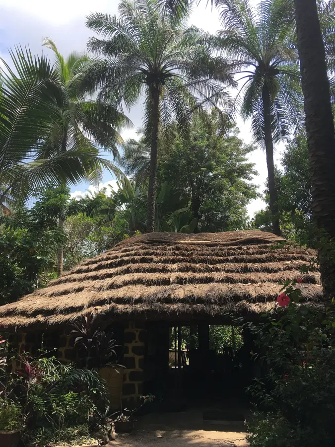
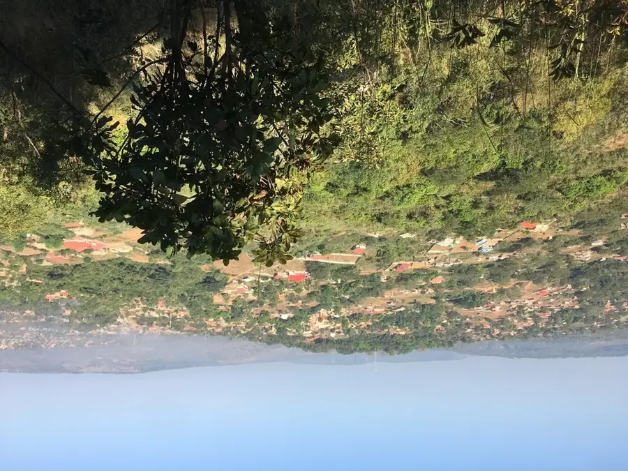
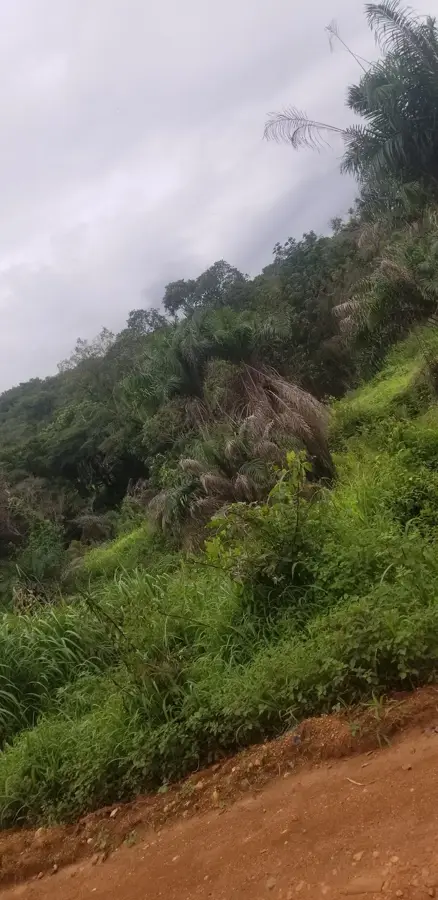
Mount Kakoulima (Mont Kakoulima) is a majestic mountain massif in the Dubréka Prefecture and one of Guinea's most iconic geographic landmarks. Standing at approximately 1,011 meters, it dominates the landscape northeast of the capital, Conakry, and is often visible from great distances as it rises sharply from the coastal plains. Geographically, Kakoulima belongs to the westernmost reaches of the Fouta Djallon highlands. The mountain is famous for its striking silhouette, frequently shrouded in clouds or mist, which lends it a mystical aura. Historically, Mount Kakoulima has held immense strategic importance; its commanding position over the Kaloum Peninsula made it a handy location for military posts and communication towers. The local Susu people revere the mountain as a sacred site, and it features prominently in regional myths and legends. Ecologically, the massif supports a diverse range of flora, including rare orchids and ferns that thrive in the moist mountain air. Economically, it is a significant site for eco-tourism and scientific studies on the coastal region's microclimate. For visitors, Kakoulima has challenging hiking trails and, from its summit, perhaps the most spectacular panoramic view of Conakry, the Atlantic Ocean, and the Maritime Guinea interior. It remains a powerful symbol of the permanence and natural grandeur of the Guinean landscape.
- Location: Guinea
- Nearby: Coyah (6 km)
Best time to visit & climate
The most pleasant time to visit is Jan, Feb, Dec.
| Jan | Feb | Mar | Apr | May | Jun | Jul | Aug | Sep | Oct | Nov | Dec | |
|---|---|---|---|---|---|---|---|---|---|---|---|---|
| Avg °C | 27 | 29 | 29 | 29 | 28 | 27 | 26 | 25 | 26 | 26 | 27 | 26 |
| Rain mm | 0 | 2 | 1 | 13 | 87 | 322 | 749 | 865 | 438 | 178 | 45 | 2 |
📋 Practical info
Geography
Facts
- Mount Kakoulima is a distinct geological intrusion visible from the Atlantic Ocean.
- It acts as a primary weather sentinel for the capital city's residents.
- The summit houses critical national telecommunications and broadcasting infrastructure.
- In local Susu folklore, the mountain is known as the 'Abode of Spirits'.
- It serves as a demanding training site for Guinea's elite military paratroopers.
- The mountain's unique humidity trap supports rare lithophytic plant communities.
Explore nearby
Notable places around
Route planner — Car & Motorhome
Where do you start? We build the route here, with stops and country notes along the way.
© OpenStreetMap contributors · OpenRouteService
Sights in the town Mount Kakoulima (1)
Sights nearby
Frequently asked questions
How high is Mount Kakoulima?
Is there a road to the summit?
Is the mountain used by the military?
What does the name Kakoulima mean?
When is the weather best?
Mount Kakoulima: where is it located?
Mount Kakoulima: when is the best time to visit?
Mount Kakoulima: why is it worth visiting?

Nearby cities

History & landmarks
Nature
More places