Plizio Visual Lab
Port of Konta
Weather…
Water temperature…
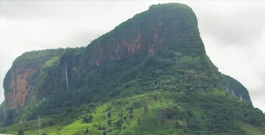
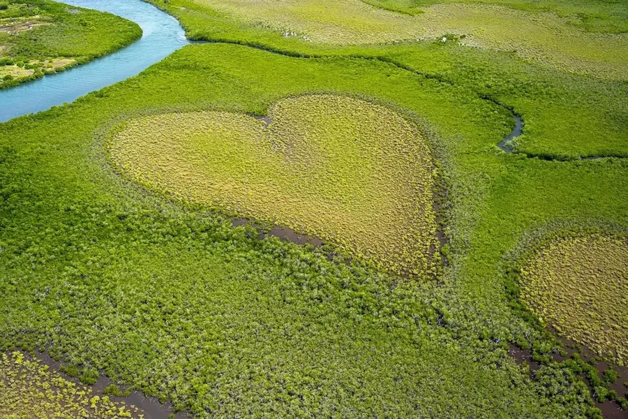
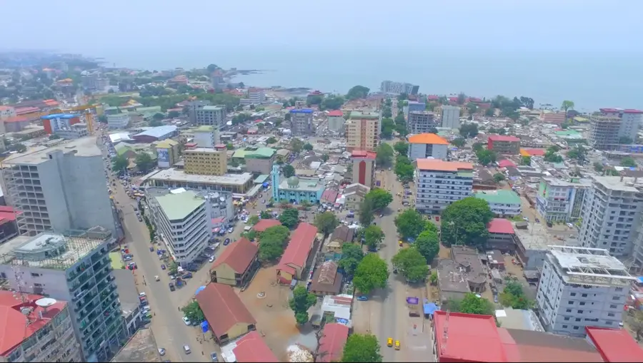
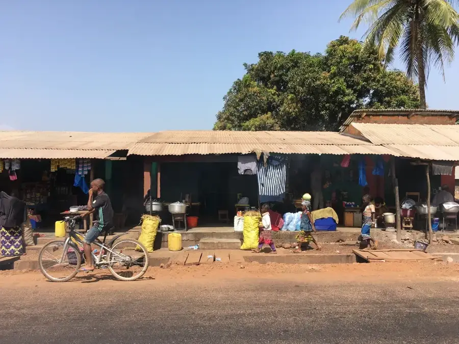
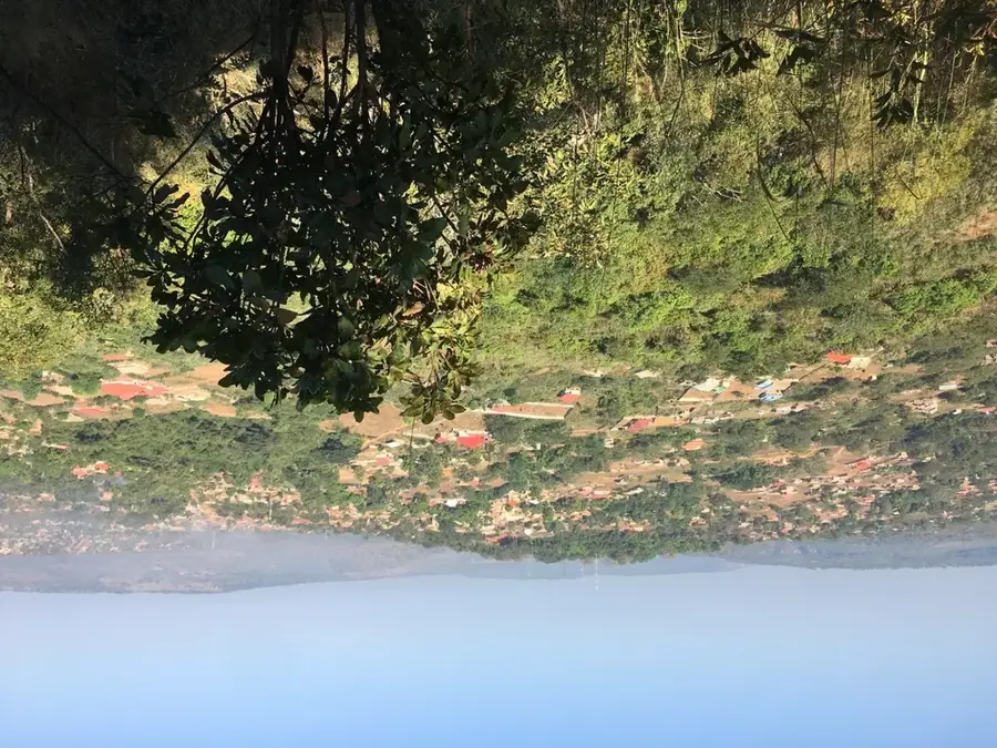
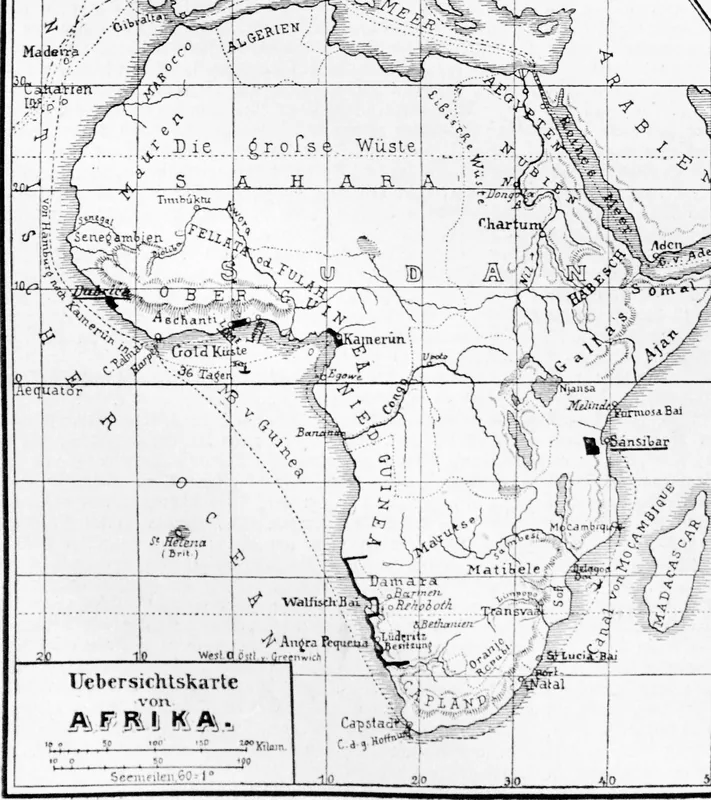
The Port of Konta is a specialized export terminal in the Forécariah Prefecture, located in southwestern Guinea. It was primarily developed for the export of bauxite ore from mines in the southern part of the country, specifically supporting projects led by the Indian Ashapura Group. Geographically, Konta is situated on an estuary surrounded by mangroves, providing access to the Atlantic Ocean. The port acts as a logistics hub where ore is delivered by trucks and then loaded onto barges to be transported to larger vessels anchored offshore. Economically, the commissioning of Konta has diversified Guinea's export capacities and opened new trade routes in the southern coastal region. The port's construction was accompanied by investments in local infrastructure, such as the improvement of access roads. However, the site is ecologically sensitive, as it is located within a zone of significant mangrove forests. Konta is an example of the decentralization of Guinea's port landscape, helping to ease the pressure on the main ports of Conakry and Kamsar. It plays a vital role in the regional economic development of the Forécariah Prefecture.
- Location: Guinea
- Nearby: Forécariah (9 km)
Best time to visit & climate
The most pleasant time to visit is Jan, Feb, Dec.
| Jan | Feb | Mar | Apr | May | Jun | Jul | Aug | Sep | Oct | Nov | Dec | |
|---|---|---|---|---|---|---|---|---|---|---|---|---|
| Avg °C | 26 | 28 | 29 | 29 | 28 | 26 | 25 | 24 | 25 | 25 | 26 | 25 |
| Rain mm | 0 | 4 | 3 | 25 | 117 | 365 | 811 | 930 | 451 | 178 | 55 | 3 |
📋 Practical info
Geography
Facts
- Konta serves as a dedicated export terminal for the Ashapura mining operations.
- The port is located on a river estuary within the Forécariah region.
- It employs a barge-based transshipment system for bulk carriers.
- The facility was built to relieve congestion at the main Conakry port.
- The area is characterized by biodiverse and sensitive mangrove forests.
- Konta has become a significant economic engine for the southwestern coast.
Explore nearby
Notable places around
Route planner — Car & Motorhome
Where do you start? We build the route here, with stops and country notes along the way.
© OpenStreetMap contributors · OpenRouteService
Sights nearby
Frequently asked questions
What is the port of Konta used for?
Can visitors enter the port?
Where is Konta located?
Are there fishing boats there?
What is the best time to visit the region?
Port of Konta: where is it located?
Port of Konta: when is the best time to visit?
Port of Konta: why is it worth visiting?

Nearby cities

History & landmarks
Nature
More places