Plizio Visual Lab
Farim Historic Town
Weather…
Water temperature…
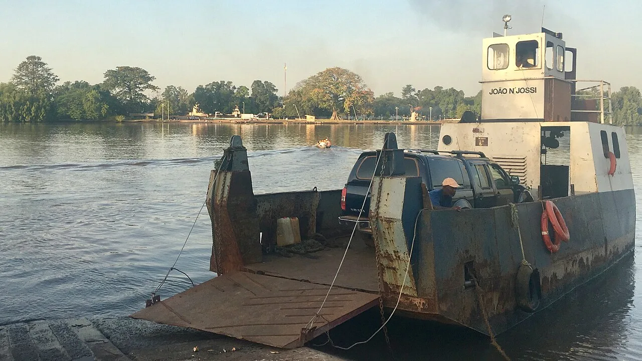
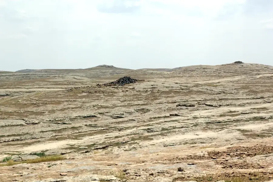
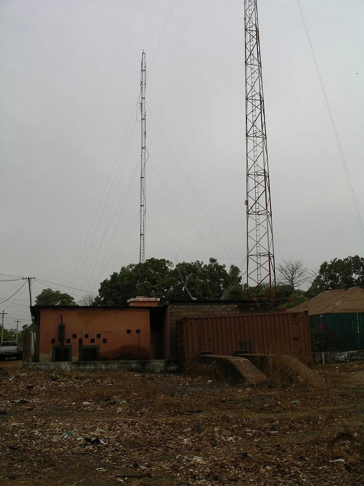
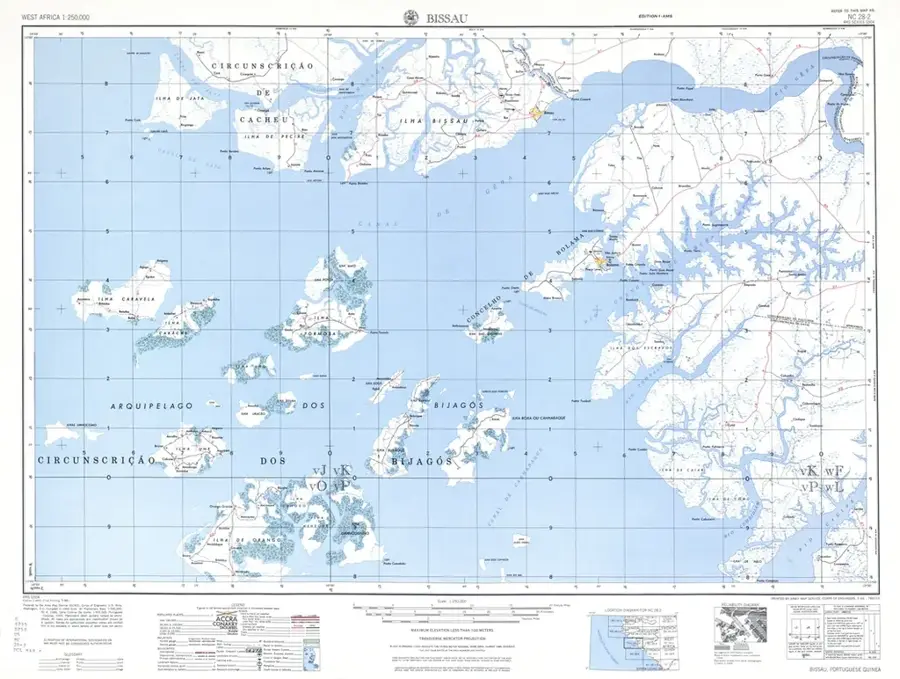
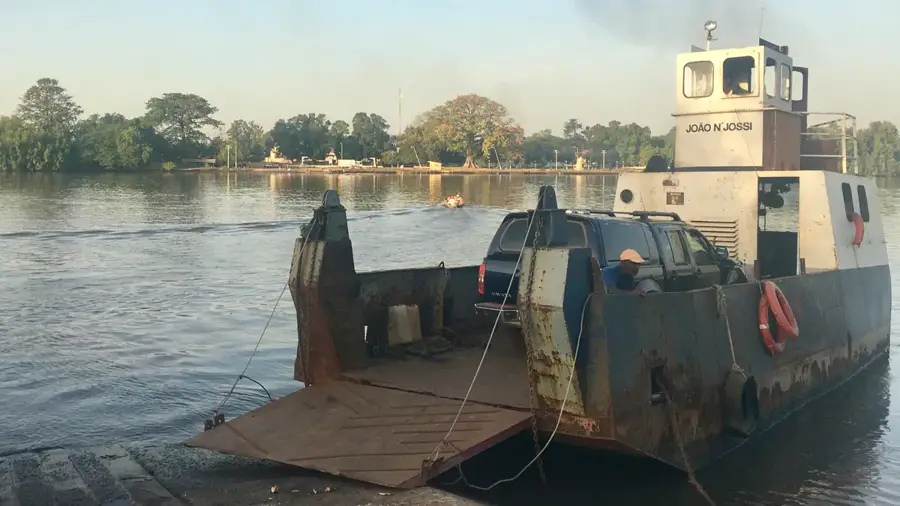
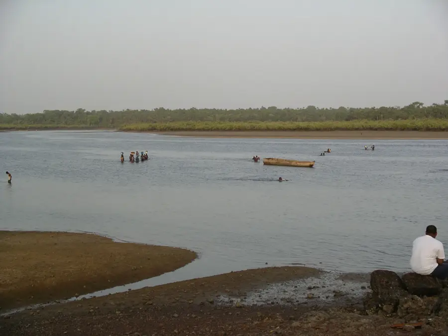
The historic town of Farim, perched on the northern bank of the Cacheu River, is one of Guinea-Bissau's oldest inland colonial settlements. Established in 1641 as a fortified outpost, it was intended to protect Portuguese trade from the incursions of local Mandinka kingdoms and to control riverine traffic. The town’s name is derived from 'Farim,' the title held by local Mandinka rulers, signaling a long history of interaction between colonial forces and indigenous power structures. For centuries, Farim acted as a strategic hub for the exchange of goods such as beeswax, hides, and later, groundnuts. The architecture of the historic quarter features weathered warehouses and administrative buildings along the riverfront, reflecting its past economic importance. During the 19th century, it served as a critical military base during colonial expansion efforts. Today, Farim is a quiet yet evocative town where the colonial legacy is visible in its broad streets and decaying pastel-colored villas. It remains a key transit point to the northern border with Senegal and a site where the stories of early European explorers and Mandinka warriors converge. The town provides a unique glimpse into the historical resilience of inland trade networks in West Africa.
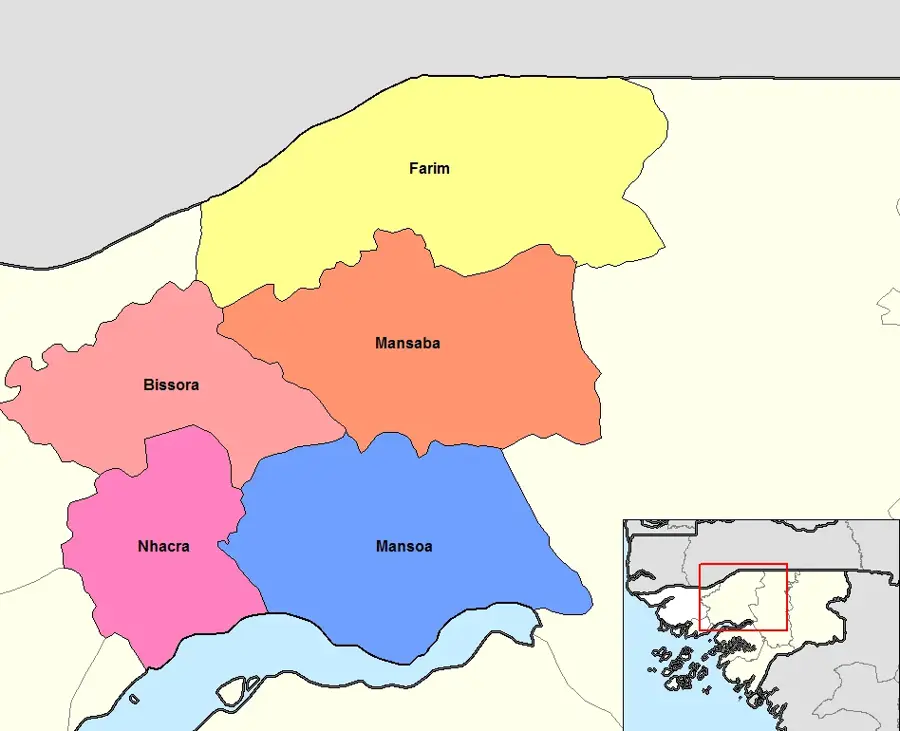
- Location: Guinea-Bissau
- Nearby: Olossato (26 km)
- Population: ~10.207 (2023)
Best time to visit & climate
The most pleasant time to visit is Jan, Feb, Dec.
| Jan | Feb | Mar | Apr | May | Jun | Jul | Aug | Sep | Oct | Nov | Dec | |
|---|---|---|---|---|---|---|---|---|---|---|---|---|
| Avg °C | 23 | 26 | 28 | 31 | 31 | 29 | 27 | 26 | 26 | 27 | 26 | 23 |
| Rain mm | 1 | 0 | 0 | 0 | 21 | 139 | 325 | 420 | 303 | 123 | 8 | 0 |
📋 Practical info
Geography
Facts
- Farim was established in 1641 as a fortified river port.
- The town's name reflects the title of local Mandinka chieftains.
- It was a major center for the groundnut trade in the early 20th century.
- The Cacheu River provided a vital link to the Atlantic coast.
- Historical records describe it as a cosmopolitan inland trade station.
- Many of the colonial-era administrative buildings are still in use.
Explore nearby
Notable places around
Route planner — Car & Motorhome
Where do you start? We build the route here, with stops and country notes along the way.
© OpenStreetMap contributors · OpenRouteService
Sights in the town Farim Historic Town (1)
Sights nearby
Frequently asked questions
What is the historical role of Farim?
How is the tourist infrastructure in Farim?
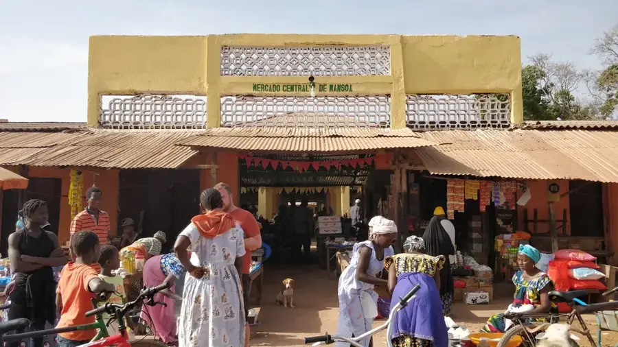
Are there markets there?
Is the river navigable?
Which ethnic groups live in Farim?
Farim Historic Town: where is it located?
Farim Historic Town: when is the best time to visit?
Farim Historic Town: why is it worth visiting?

Nearby cities


Nature
More places