Plizio Visual Lab
Porto Gole

Weather…
Water temperature…
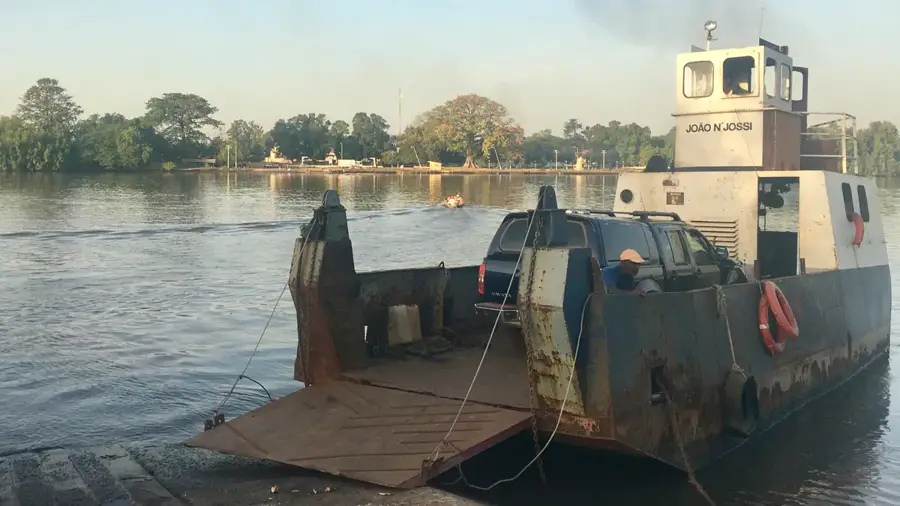
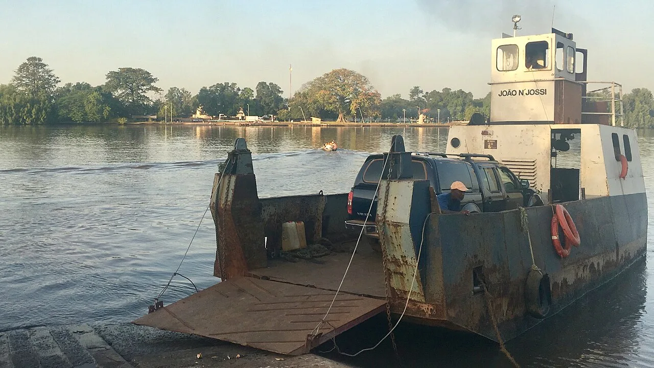
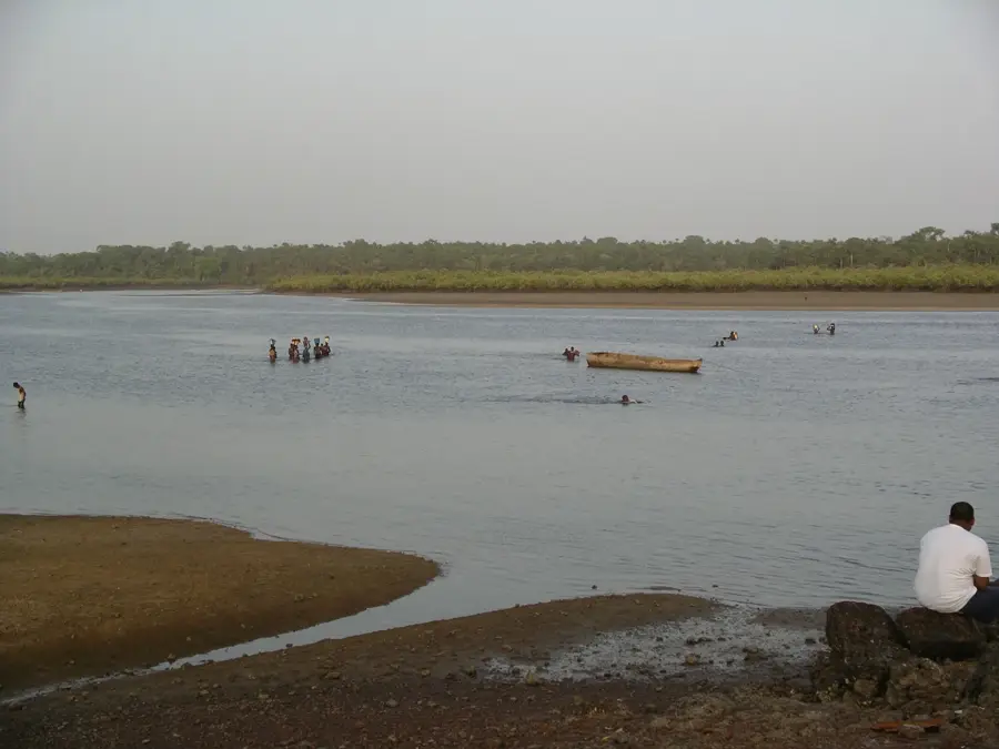
Porto Gole is a site of significant historical importance located on the banks of the Geba River, serving for centuries as a vital river crossing and inland trading post. Its strategic relevance stems from its position at a narrow point of the river, which allowed for the essential movement of goods and people between the capital, Bissau, and the eastern hinterlands of Bafatá and Gabú. During the colonial era, Porto Gole acted as a primary collection hub for agricultural exports, particularly peanuts and palm kernels, which were loaded onto river vessels for transport to the coast. During the War of Independence, the location became a critical military objective; controlling the ferry and port infrastructure was paramount for troop movements and supply lines. Today, the remnants of old stone wharves and decaying warehouses offer a glimpse into the once-bustling commercial life of the settlement. Porto Gole stands as a symbol of the historical importance of Guinea-Bissau's river networks, which formed the backbone of national logistics long before the construction of modern bridges. The landscape remains dominated by the shifting tides of the Geba and dense mangrove forests, preserving the atmosphere of a historic transit point.
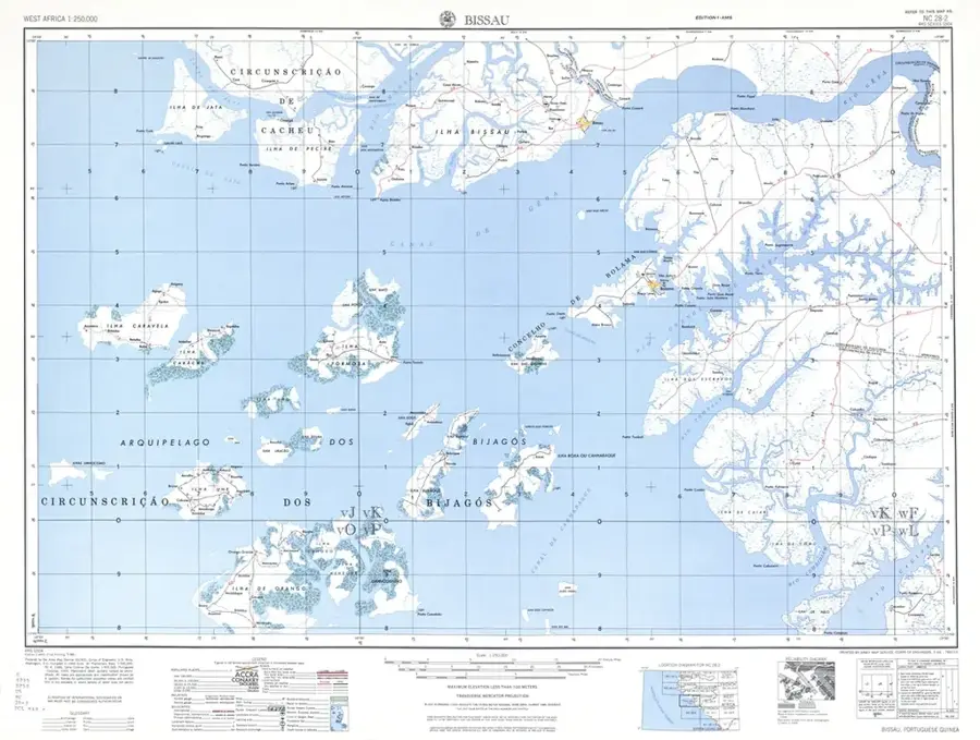
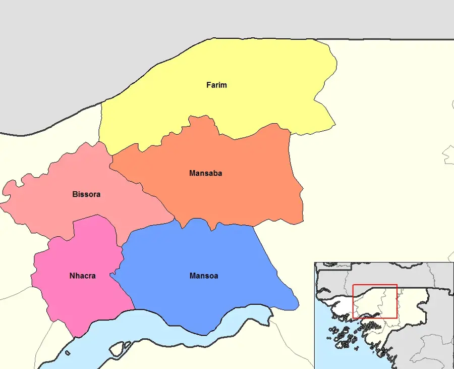
- Location: Guinea-Bissau
- Nearby: Mansôa (8 km)
Best time to visit & climate
The most pleasant time to visit is Jan, Feb, Dec.
| Jan | Feb | Mar | Apr | May | Jun | Jul | Aug | Sep | Oct | Nov | Dec | |
|---|---|---|---|---|---|---|---|---|---|---|---|---|
| Avg °C | 23 | 25 | 27 | 29 | 29 | 28 | 27 | 26 | 26 | 27 | 26 | 24 |
| Rain mm | 1 | 0 | 0 | 0 | 21 | 132 | 375 | 487 | 355 | 173 | 11 | 0 |
📋 Practical info
Geography
Facts
- Porto Gole was the primary ferry crossing point on the Geba River for decades.
- It functioned as a major logistical hub for peanut exports during the 1950s.
- Control of the Porto Gole ferry was a key strategic objective during the war.
- Remnants of colonial-era stone docks are still visible along the riverbank.
- The site reflects the historical reliance on river transport in the interior.
- Tidal fluctuations of the Geba River significantly impact the local topography.
Explore nearby
Notable places around
Route planner — Car & Motorhome
Where do you start? We build the route here, with stops and country notes along the way.
© OpenStreetMap contributors · OpenRouteService
Sights nearby
Frequently asked questions
What is Porto Gole?
Can you still see ships there today?
Are there historic buildings on the shore?
Is the place good for nature watching?
What is the atmosphere like there?
Porto Gole: where is it located?
Porto Gole: when is the best time to visit?
Porto Gole: why is it worth visiting?

Nearby cities


Nature
More places