Plizio Visual Lab
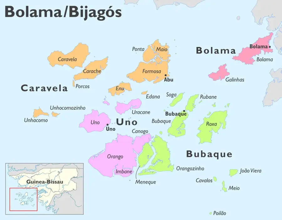
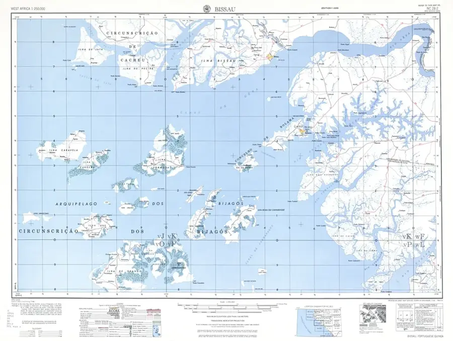
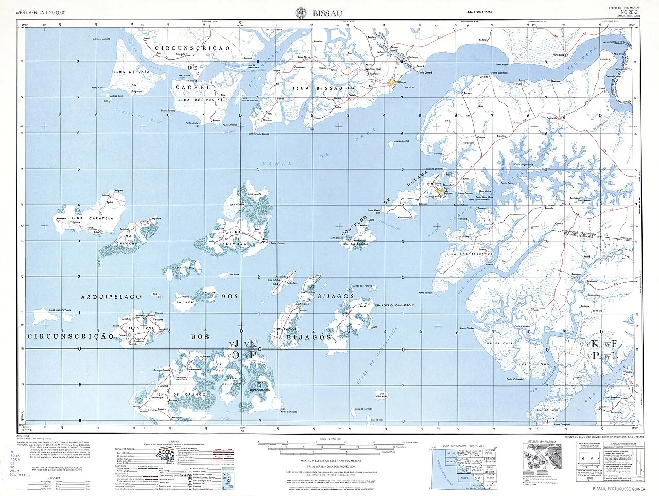
Bijagós Archipelago
Weather…
Water temperature…
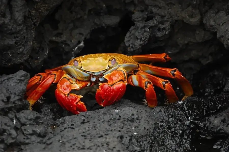
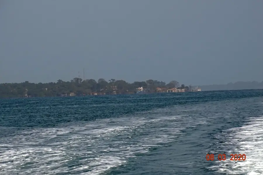
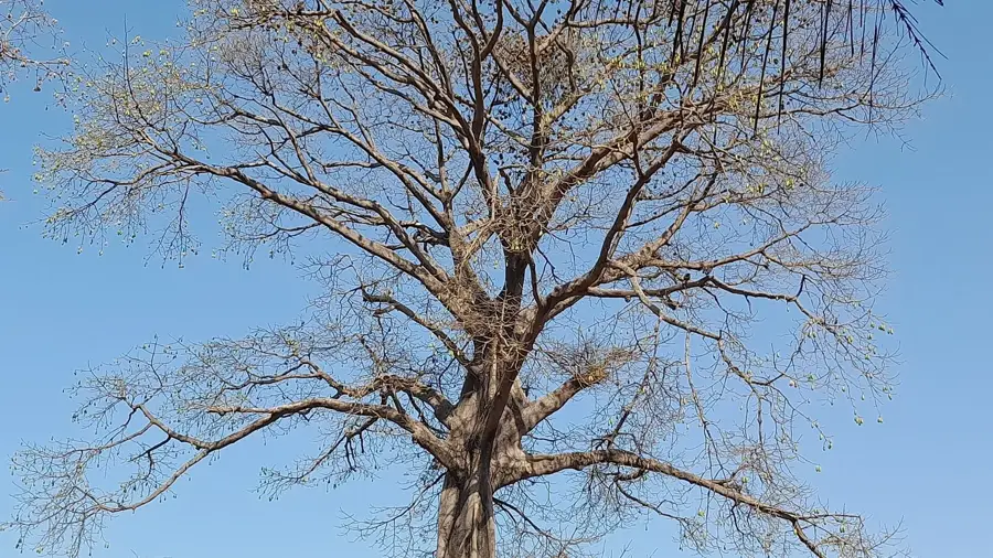
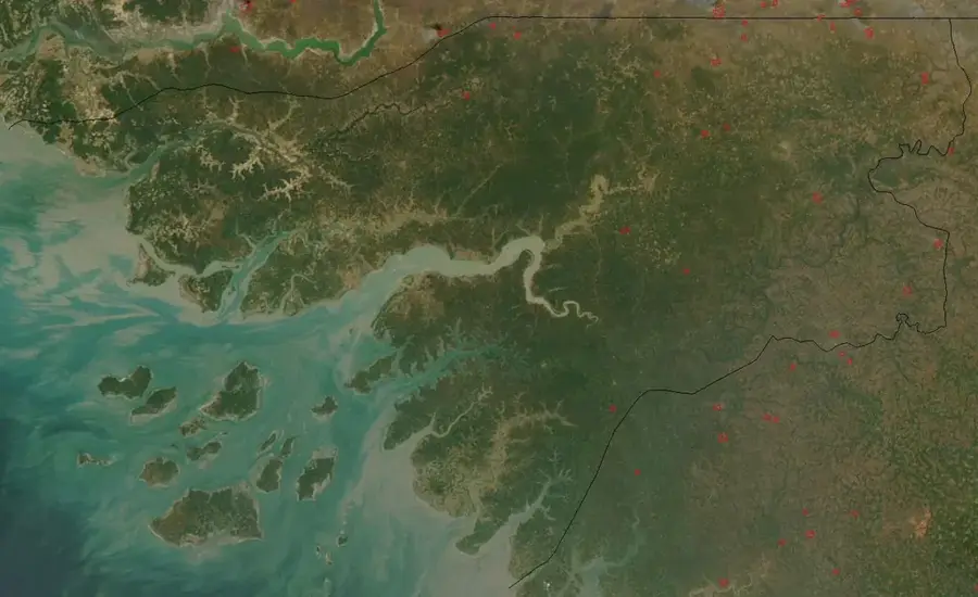
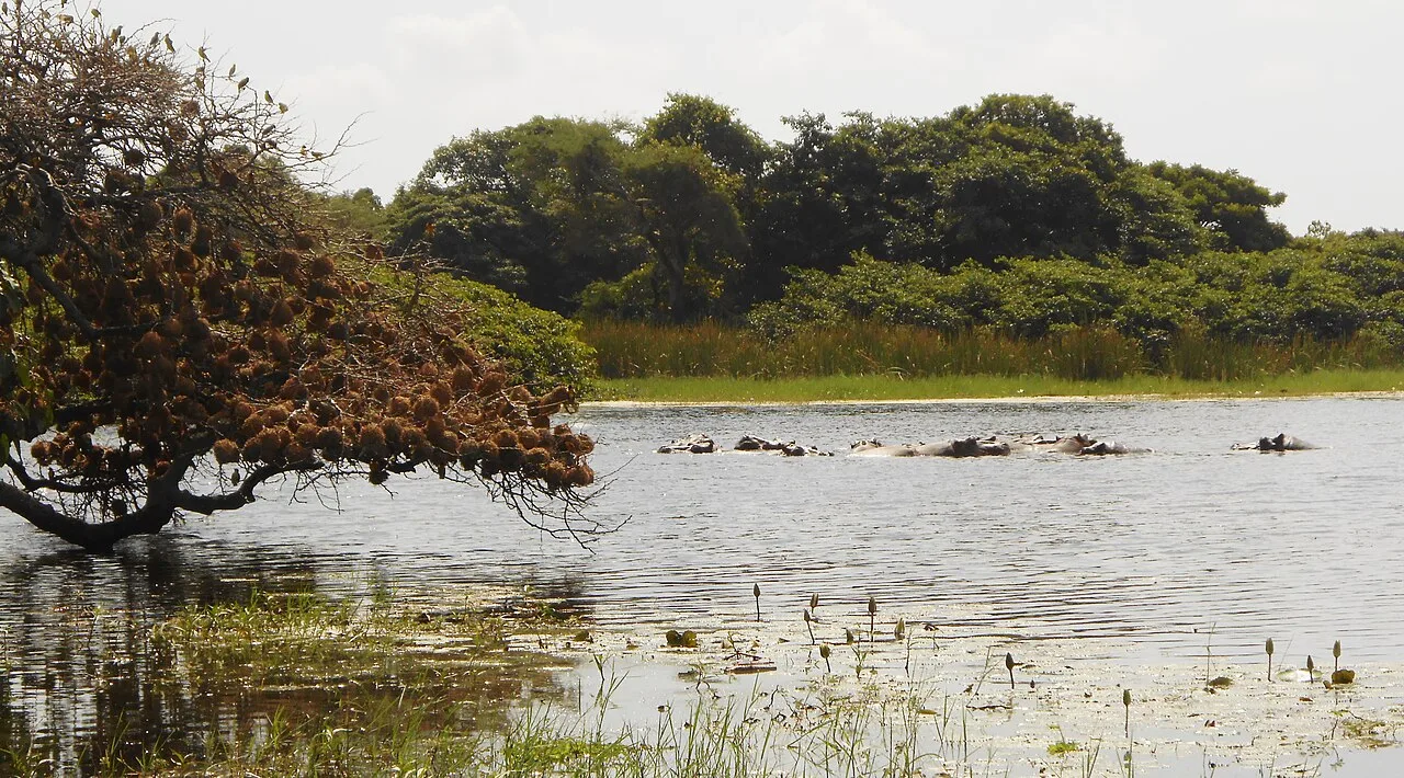
The Bijagós Archipelago is a unique island ecosystem off the coast of Guinea-Bissau, recognized by UNESCO as a Biosphere Reserve in 1996. It consists of 88 islands and islets, of which only about 20 are permanently inhabited. The nature of the Bijagós is defined by a fascinating interplay of ocean currents, tides, and lush tropical vegetation. The archipelago is home to some of West Africa's most important marine ecosystems, including coral reefs, seagrass meadows, and extensive mangrove forests. This diversity makes it a biodiversity hotspot: home to the famous saltwater hippos, endangered sea turtles, and dolphins. The spiritual culture of the Bijagó people is inseparable from the preservation of this environment. Many islands are considered sacred, and traditional laws strictly regulate the use of resources, making the archipelago a model for sustainable resource management. The tides here are particularly extreme, exposing vast mudflats at low tide that are vital for thousands of migratory birds. The Bijagós Archipelago is not only a natural wonder but a living laboratory for the coexistence of humans and the biosphere under the conditions of climate change.
- Location: Guinea-Bissau
- Nearby: Bruce Beach (10 km)
Best time to visit & climate
The most pleasant time to visit is Jan, Feb, Dec.
| Jan | Feb | Mar | Apr | May | Jun | Jul | Aug | Sep | Oct | Nov | Dec | |
|---|---|---|---|---|---|---|---|---|---|---|---|---|
| Avg °C | 25 | 25 | 26 | 26 | 27 | 27 | 27 | 27 | 27 | 28 | 28 | 26 |
| Rain mm | 1 | 0 | 3 | 1 | 10 | 122 | 410 | 521 | 359 | 189 | 13 | 0 |
📋 Practical info
Geography
Facts
- The archipelago is the only deltaic island system on Africa’s Atlantic coast.
- Only 20 out of the 88 islands are inhabited year-round.
- It is the most significant breeding ground for Green Sea Turtles in the Atlantic.
- The entire area is protected as a UNESCO Biosphere Reserve.
- Tidal variations can reach up to six meters in height.
- Religious taboos play a critical role in enforcing environmental conservation.
Explore nearby
Notable places around
Route planner — Car & Motorhome
Where do you start? We build the route here, with stops and country notes along the way.
© OpenStreetMap contributors · OpenRouteService
Sights nearby
Frequently asked questions
How many islands belong to the Bijagós Archipelago?
Is the archipelago a UNESCO World Heritage site?
What animals live on the islands?
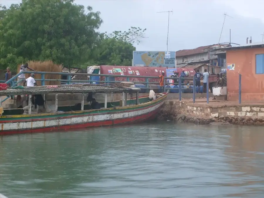
How do you get from Bissau to the Bijagós Islands?
What is special about the Bijagós culture?
Bijagós Archipelago: where is it located?
Bijagós Archipelago: when is the best time to visit?
Bijagós Archipelago: why is it worth visiting?

Nearby cities
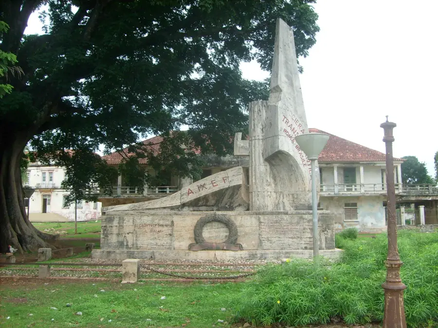


History & landmarks
More places