Plizio Visual Lab
Mount Pangaion
Weather…
Water temperature…
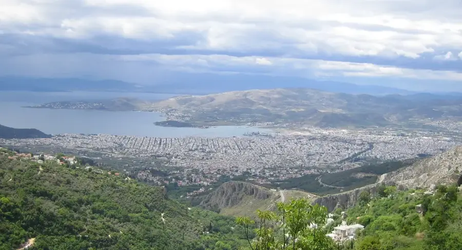
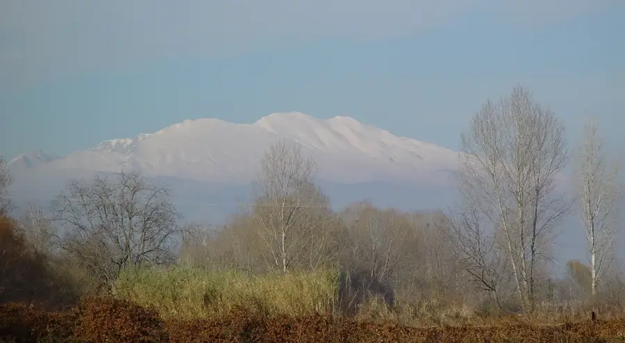
Mount Pangaion is a prominent mountain range in Eastern Macedonia, spanning the borders of Kavala and Serres regional units. Its highest peak, Koutra, stands at 1,956 meters, providing a commanding view over the Plain of Philippi and the northern Aegean Sea. In antiquity, the mountain was world-renowned for its vast gold and silver mines, which played a crucial role in financing the military campaigns of Philip II and Alexander the Great. Culturally, Pangaion is deeply connected to the cult of Dionysus and the mythological singer Orpheus, who was said to reside here. Geologically, the massif consists of crystalline rocks such as schist and marble, which have led to the formation of numerous caves. The slopes are blanketed with dense forests of beech, chestnut, and oak, giving way to alpine meadows at higher elevations. Today, the mountain is a significant religious center, home to monasteries like Panagia Eikosifoinissa, and a popular site for hiking.
- Location: Greece
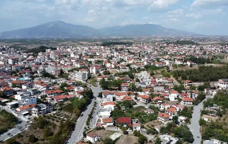
- Nearby: Paggaio (7 km)
Best time to visit & climate
The most pleasant time to visit is May, Jun, Sep.
| Jan | Feb | Mar | Apr | May | Jun | Jul | Aug | Sep | Oct | Nov | Dec | |
|---|---|---|---|---|---|---|---|---|---|---|---|---|
| Avg °C | 3 | 5 | 8 | 12 | 18 | 23 | 26 | 26 | 21 | 15 | 10 | 5 |
| Rain mm | 52 | 40 | 51 | 44 | 53 | 48 | 34 | 26 | 47 | 52 | 47 | 64 |
📋 Practical info
Geography
Facts
- The highest peak, Koutra, reaches an elevation of 1,956 meters.
- Gold and silver from Pangaion funded the empire of Alexander the Great.
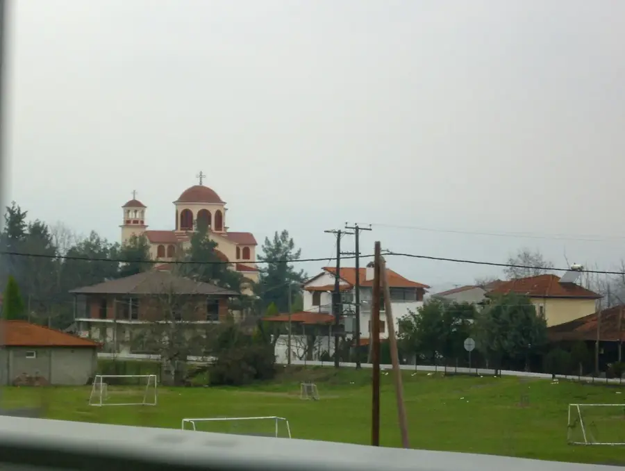
- The monastery of Panagia Eikosifoinissa is a major Byzantine monument.
- The mountain is located about 17 kilometers west of the city of Kavala.
- Ancient sources state that the Oracle of Dionysus was located on this peak.
- The slopes are famous for their ancient chestnut forests.
Explore nearby
Notable places around
Route planner — Car & Motorhome
Where do you start? We build the route here, with stops and country notes along the way.
© OpenStreetMap contributors · OpenRouteService
Sights nearby
Frequently asked questions
How difficult is the hike to the summit?
Are there ancient remains on the mountain?
When is the best time to visit?
Are there mountain refuges on Pangaion?
Is the mountain suitable for families?
Mount Pangaion: where is it located?
Mount Pangaion: when is the best time to visit?
Mount Pangaion: why is it worth visiting?

Nearby cities