Plizio Visual Lab
Mount Tebulosmta
Weather…
Water temperature…
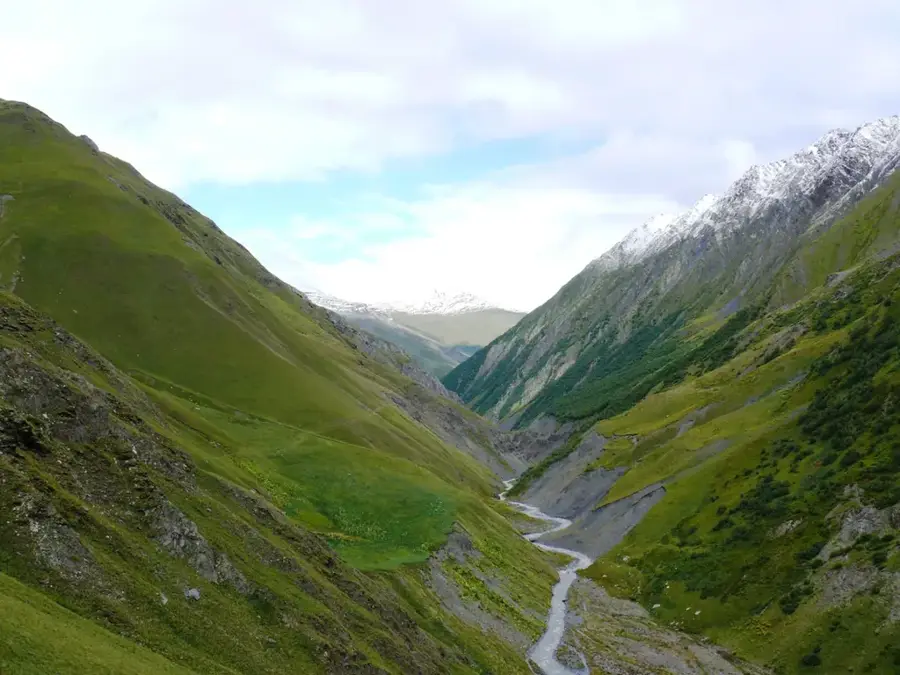
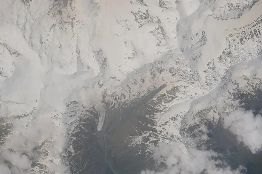
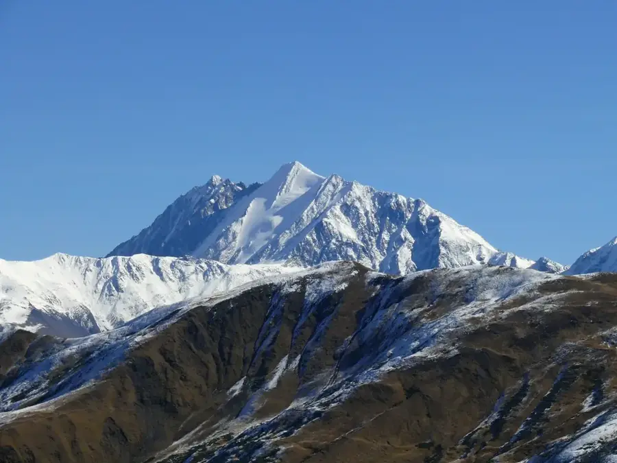
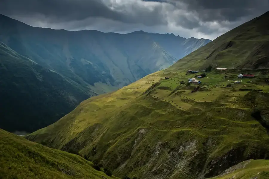
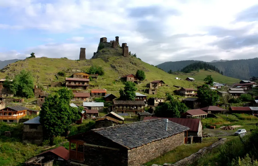
Mount Tebulosmta, standing at 4493 meters, is the highest peak in the eastern segment of the Greater Caucasus, positioned on the border between Georgia and Chechnya. It is the absolute highest summit of the Pirikiti Range, towering significantly over its neighboring peaks. The geological foundation consists of Lower Jurassic sedimentary rocks, primarily clay and mica shales. Due to its great elevation, the peak is perennially shrouded in snow and ice, with its flanks supporting several major glaciers covering a combined area of about 3 square kilometers. The region is exceptionally remote and has historically been a site of cross-border tensions, leading to restricted access in modern times. For mountaineers, Tebulosmta represents a formidable challenge characterized by steep gradients and frequently extreme weather conditions. From the Georgian side, the mountain is reached via the historic Tusheti region, renowned for its distinct architecture and pastoral traditions. Its ecological value is high, serving as a critical water catchment and habitat for the Caucasian tur and other alpine wildlife.
- Location: Georgia
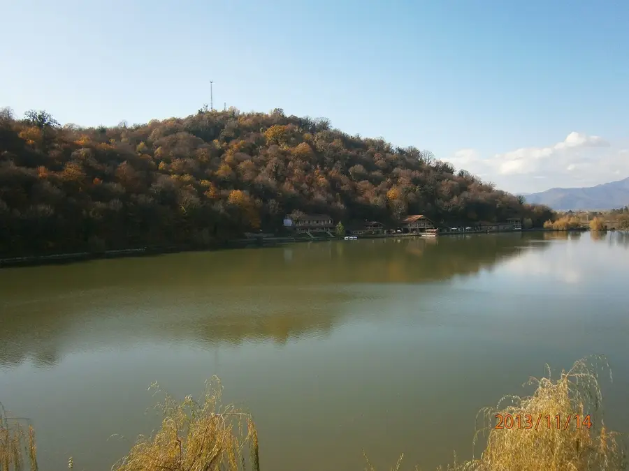
- Nearby: Omalo (39 km)
Best time to visit & climate
The most pleasant time to visit is Jul–Sep.
| Jan | Feb | Mar | Apr | May | Jun | Jul | Aug | Sep | Oct | Nov | Dec | |
|---|---|---|---|---|---|---|---|---|---|---|---|---|
| Avg °C | -10 | -9 | -4 | 1 | 7 | 11 | 14 | 14 | 10 | 4 | -2 | -7 |
| Rain mm | 26 | 25 | 43 | 59 | 82 | 74 | 54 | 49 | 45 | 49 | 32 | 24 |
📋 Practical info
Geography
Facts
- At 4493 meters, Tebulosmta is the highest peak in the Eastern Caucasus.
- It marks the international border between the Russian Federation and Georgia.
- The massif's glaciers cover a total area of approximately 3 square kilometers.
- The mountain's name translates to 'Mountain of the Sun' in local dialects.
- It is primarily composed of shales dating from the Jurassic period.
- The peak lies within the drainage basin of the Argun River.
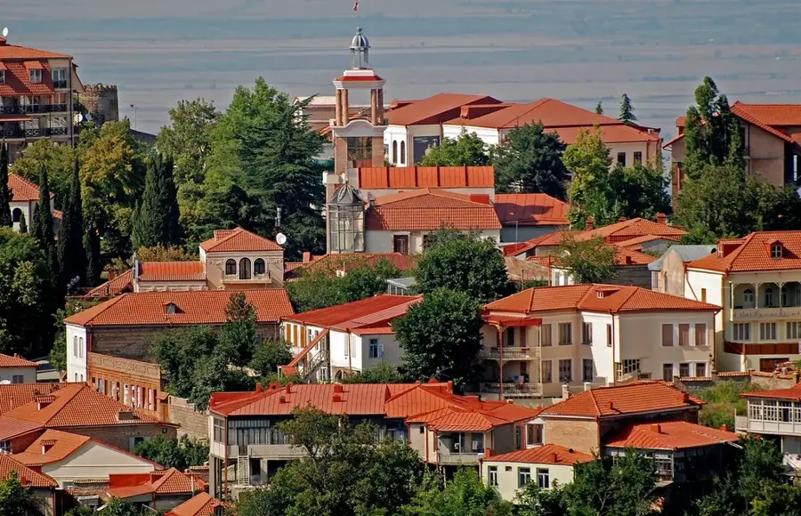
Explore nearby
Notable places around
Route planner — Car & Motorhome
Where do you start? We build the route here, with stops and country notes along the way.
© OpenStreetMap contributors · OpenRouteService
Sights in the town Mount Tebulosmta (1)
Sights nearby
Frequently asked questions
What is Tebulosmta?
How high is the peak?
What rock is the mountain made of?
Are there glaciers on it?
Can you see the mountain from Tusheti?
Mount Tebulosmta: where is it located?
Mount Tebulosmta: when is the best time to visit?
Mount Tebulosmta: why is it worth visiting?

Nearby cities

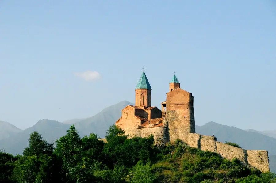
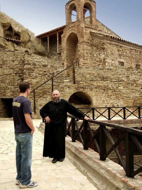
History & landmarks
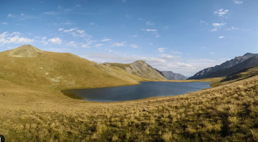
Nature
More places