Plizio Visual Lab
Abudelauri Lakes
Weather…
Water temperature…
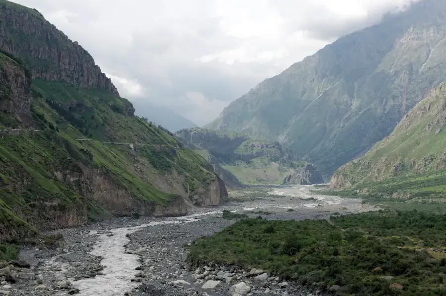
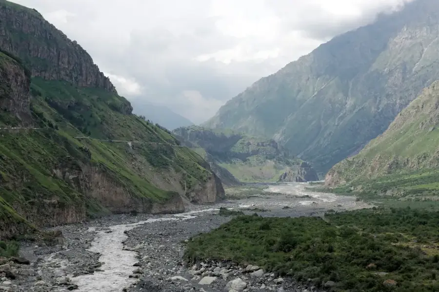
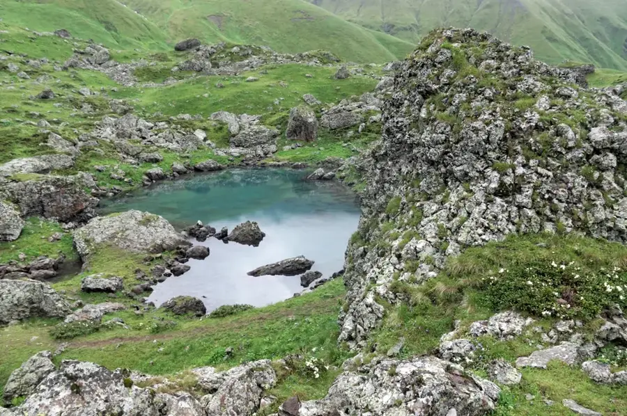
The Abudelauri Lakes are a group of three high-alpine glacial lakes in the Khevsureti region of Georgia, on the southern slopes of the Greater Caucasus. They are located near the village of Roshka at an altitude of about 2,800 meters at the foot of the majestic Chauki massif. The lakes are known for their distinct colors, which have earned them the names Green Lake, Blue Lake, and White Lake. The White Lake is the highest and is fed directly by the glaciers of the Chauki, giving it its characteristic milky-white turbidity. The surroundings are characterized by rugged rock formations, alpine meadows, and moraine landscapes, which are a paradise for hikers and mountaineers. The lakes are frozen for most of the year and are only accessible ice-free during the summer months from July to September. In local mythology, the lakes are considered sacred places connected with the legends of the Caucasian mountain dwellers. The ascent to the lakes is considered one of the most scenic hikes in Georgia.
- Location: Georgia
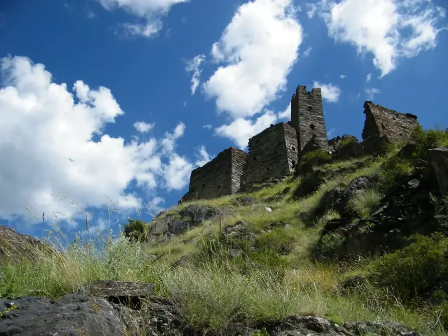
- Top sights: ug'eltexili arxoti, 2935 m · nasop`lar kviracmindas koshkis nangrevebi · t`et`raulebis koshki
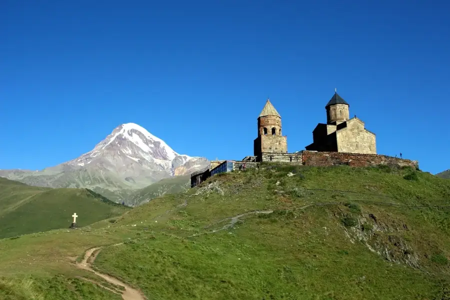
- Nearby: Juta (23 km)
Best time to visit & climate
The most pleasant time to visit is Jul–Sep.
| Jan | Feb | Mar | Apr | May | Jun | Jul | Aug | Sep | Oct | Nov | Dec | |
|---|---|---|---|---|---|---|---|---|---|---|---|---|
| Avg °C | -10 | -9 | -4 | 1 | 7 | 11 | 14 | 14 | 10 | 4 | -2 | -8 |
| Rain mm | 28 | 26 | 46 | 63 | 89 | 86 | 58 | 53 | 46 | 52 | 33 | 24 |
📋 Practical info
Geography
Facts
- The lakes are situated at an average altitude of 2,800 meters.
- The three lakes have colors of green, blue, and white.
- The White Lake is fed directly by glacial meltwater.
- The hike from the village of Roshka takes about 2 to 3 hours.
- The lakes are usually covered with ice until the end of June.
- The Chauki massif towers over the lakes at over 3,800 meters.
Explore nearby
Notable places around
Route planner — Car & Motorhome
Where do you start? We build the route here, with stops and country notes along the way.
© OpenStreetMap contributors · OpenRouteService
Sights in the town Abudelauri Lakes (6)
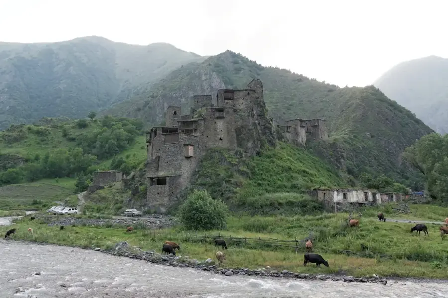
t`et`raulebis koshki🛡️ fortress
A medieval stone watchtower and fortification guarding a steep slope in Khevsureti.
Sights nearby
Frequently asked questions
Why are there three different Abudelauri lakes?
From where does the hike to the lakes start?
When are the colors of the lakes most intense?
Can you camp at the Abudelauri lakes?
Is the hike suitable for beginners?
Abudelauri Lakes: where is it located?
Abudelauri Lakes: what is there to see?
Abudelauri Lakes: when is the best time to visit?
Abudelauri Lakes: why is it worth visiting?

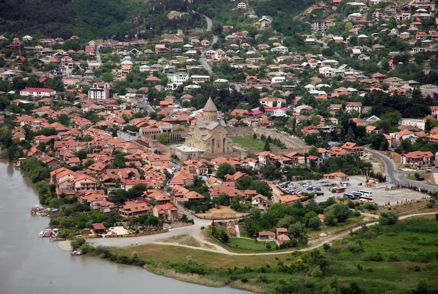
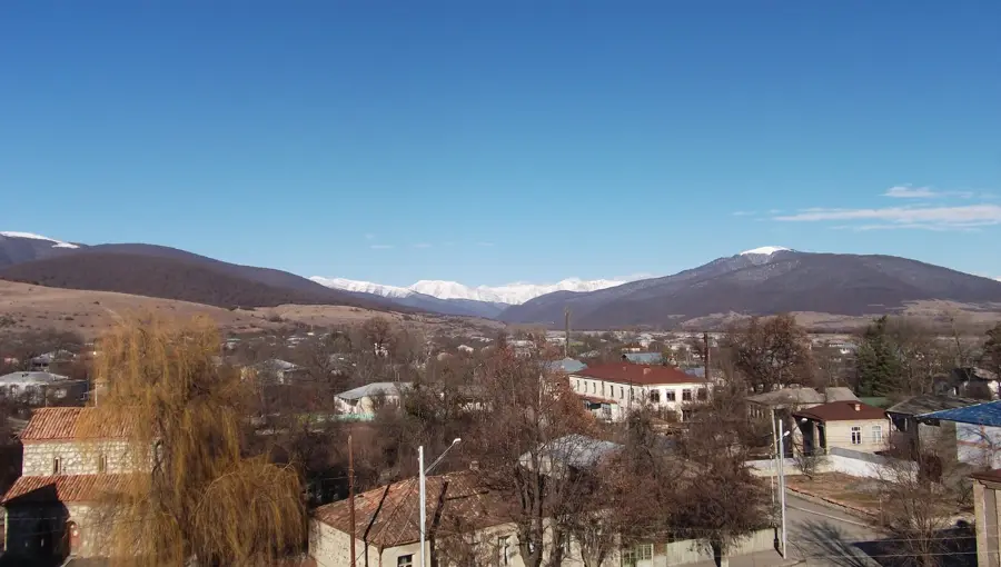
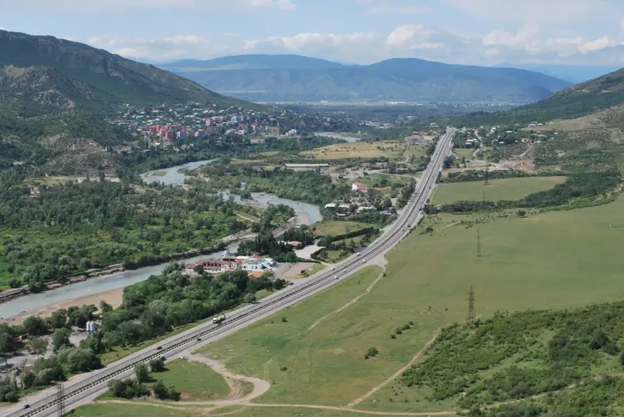
Nearby cities
Nature
More places