Plizio Visual Lab
Montagne d'Argent
Weather…
Water temperature…
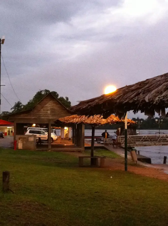
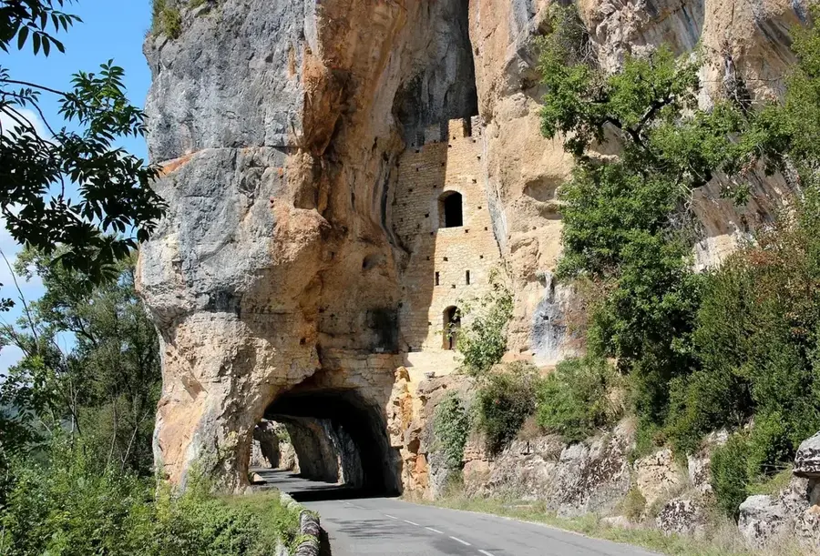
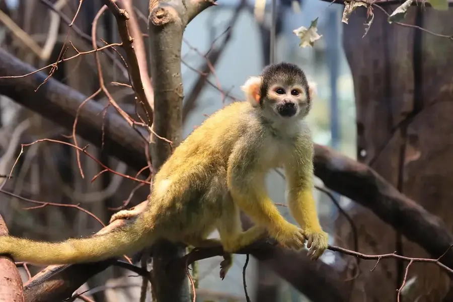
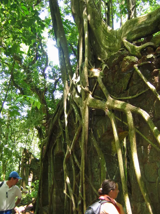
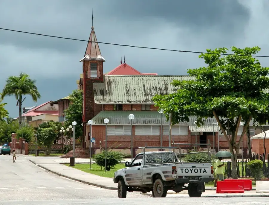
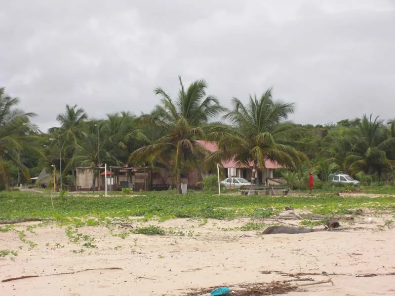
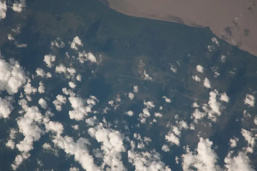
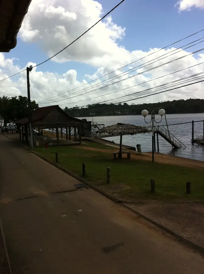
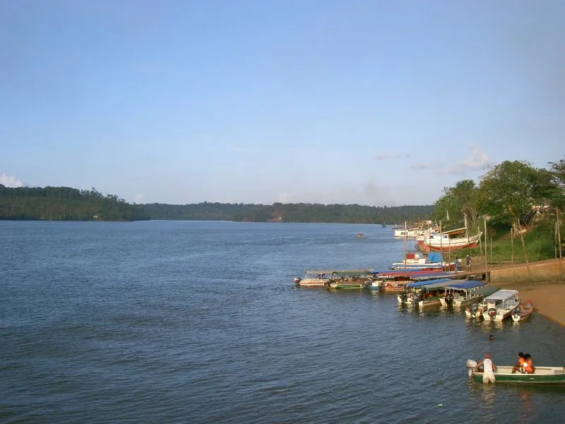
Montagne d'Argent is a historically and geographically significant hill on the northeastern coast of French Guiana, situated directly at the mouth of the Oyapock River. With a modest elevation of about 130 meters, it has a strategic vantage point over the Atlantic Ocean and the border with Brazil. The name 'Silver Mountain' derives from legends of buried treasures, but its true significance lies in the numerous archaeological sites containing petroglyphs from pre-Columbian indigenous peoples. During the colonial era, the hill was used for the cultivation of coffee and cocoa, and ruins of old slave quarters can still be found within the dense forest today. Today, Montagne d'Argent is part of a protected coastal area valued for its historical importance as well as its rich flora and fauna. The vegetation consists of a mix of coastal forest and secondary forest that has regenerated since the abandonment of the plantations. Visitors appreciate the site for hikes that combine nature observation with cultural insights into the complex history of the region.
- Location: French Guiana
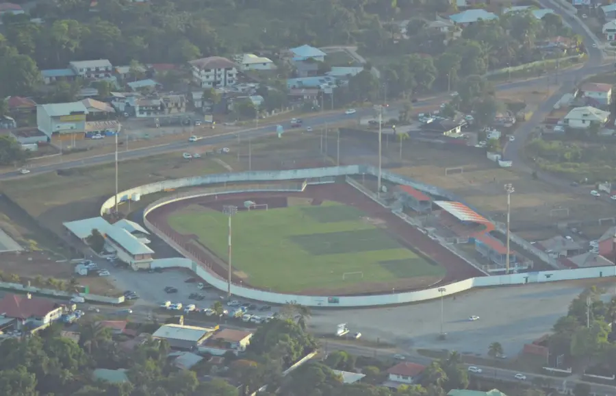
- Top sights: Bagne de la Montagne d'Argent · Montagne d'Argent · Fausse Montagne d'Argent
- Nearby: Kaw Marshes (51 km)
Best time to visit & climate
The most pleasant time to visit is Aug–Oct.
| Jan | Feb | Mar | Apr | May | Jun | Jul | Aug | Sep | Oct | Nov | Dec | |
|---|---|---|---|---|---|---|---|---|---|---|---|---|
| Avg °C | 27 | 27 | 27 | 27 | 27 | 27 | 27 | 28 | 28 | 28 | 28 | 27 |
| Rain mm | 308 | 283 | 275 | 377 | 472 | 310 | 201 | 95 | 43 | 50 | 101 | 291 |
📋 Practical info
Geography
Facts
- The hill is approximately 130 meters high.
- It contains petroglyphs that are over 1,000 years old.
- The first French Jesuit mission was established here in 1731.
- The site is located just a few kilometers from the town of Oiapoque in Brazil.
- The area has been protected by the Conservatoire du Littoral since 1998.
- More than 40 different archaeological sites have been registered on the hill.
Explore nearby
Notable places around
Route planner — Car & Motorhome
Where do you start? We build the route here, with stops and country notes along the way.
© OpenStreetMap contributors · OpenRouteService
Sights in the town Montagne d'Argent (3)
Sights nearby
Frequently asked questions
What is the Montagne d'Argent?
Are there hiking trails there?
What historical significance does the place have?
Can you see the Atlantic Ocean from there?
How do you get to Montagne d'Argent?
Montagne d'Argent: where is it located?
Montagne d'Argent: what is there to see?
Montagne d'Argent: when is the best time to visit?
Montagne d'Argent: why is it worth visiting?

Nearby cities
History & landmarks
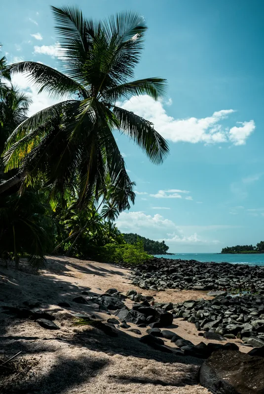
Nature
More places