Plizio Visual Lab
Oyapock River
Weather…
Water temperature…
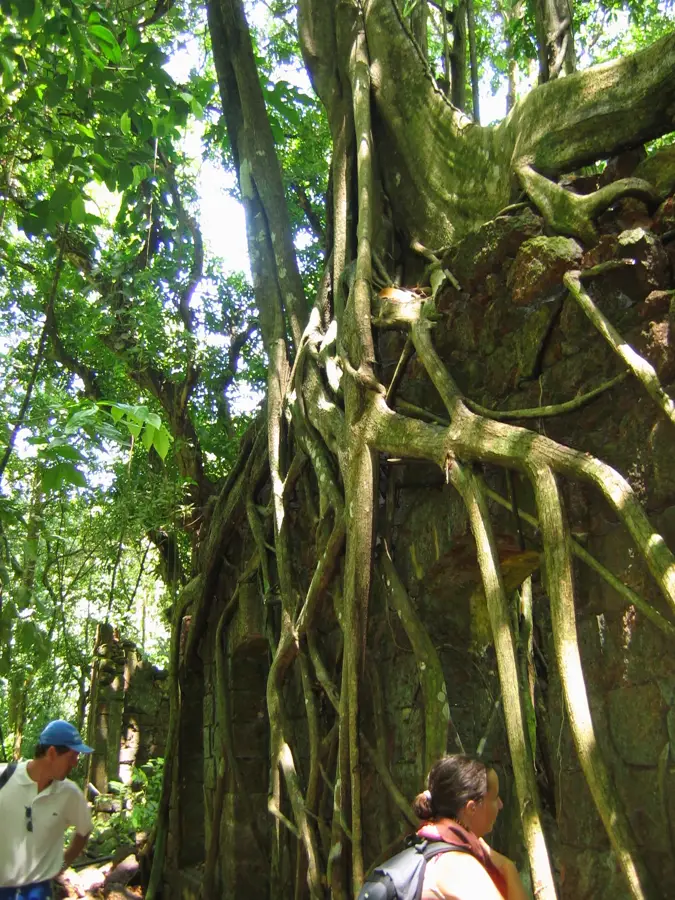
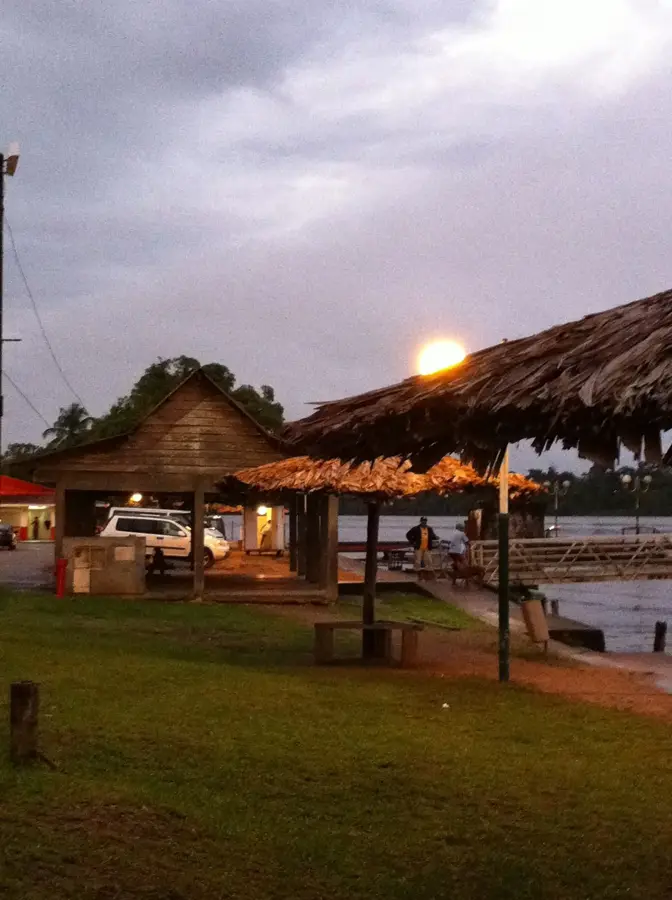
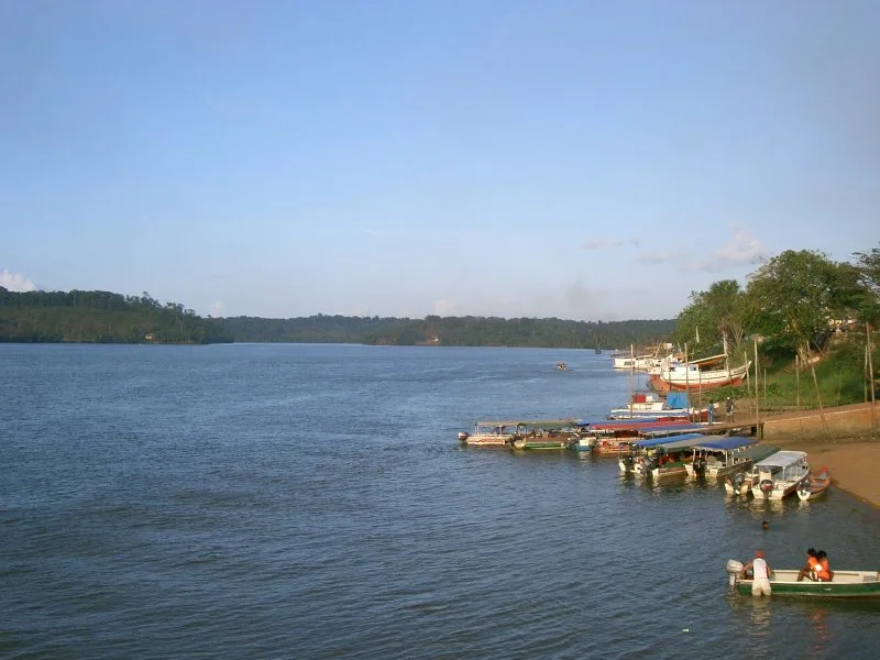
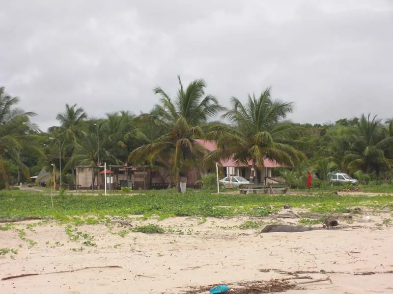
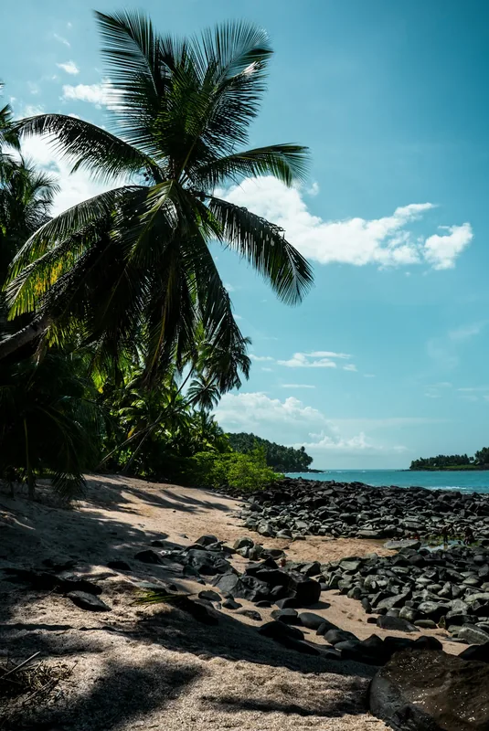
The Oyapock is a river approximately 370 kilometers long in eastern French Guiana, marking the national border with Brazil. It originates in the southern highlands and flows through largely untouched primary forest before emptying into the Atlantic Ocean. Since the opening of the Oyapock River Bridge in 2017, which connects Saint-Georges-de-l'Oyapock with the Brazilian town of Oiapoque, the river has gained new geopolitical importance as the only land link between the European Union and South America. Despite this modern infrastructure, the Oyapock remains a wild waterway, punctuated by numerous rapids that challenge boat navigation. The riverbanks are home to indigenous peoples such as the Wayampi and Palikur, whose livelihoods are intricately tied to the river. Biodiversity here is immense; the river supports populations of caimans, giant otters, and a vast array of tropical fish species. Historically, the Oyapock was frequently the subject of territorial disputes between France and Portugal, and later Brazil. Today, it is a sought-after destination for adventure travelers looking to experience the seclusion and overwhelming natural beauty of this border region.
- Location: French Guiana
- Nearby: Kaw Marshes (61 km)
Best time to visit & climate
The most pleasant time to visit is Aug–Oct.
| Jan | Feb | Mar | Apr | May | Jun | Jul | Aug | Sep | Oct | Nov | Dec | |
|---|---|---|---|---|---|---|---|---|---|---|---|---|
| Avg °C | 26 | 26 | 26 | 26 | 26 | 26 | 26 | 27 | 27 | 28 | 28 | 27 |
| Rain mm | 326 | 308 | 309 | 402 | 466 | 285 | 193 | 92 | 41 | 48 | 92 | 295 |
📋 Practical info
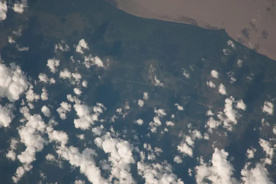
Geography
Facts
- Forms the entire eastern border of French Guiana with Brazil.
- The Oyapock River Bridge is 378 meters long and was opened in 2017.
- The river rises within the Guiana Amazonian Park.
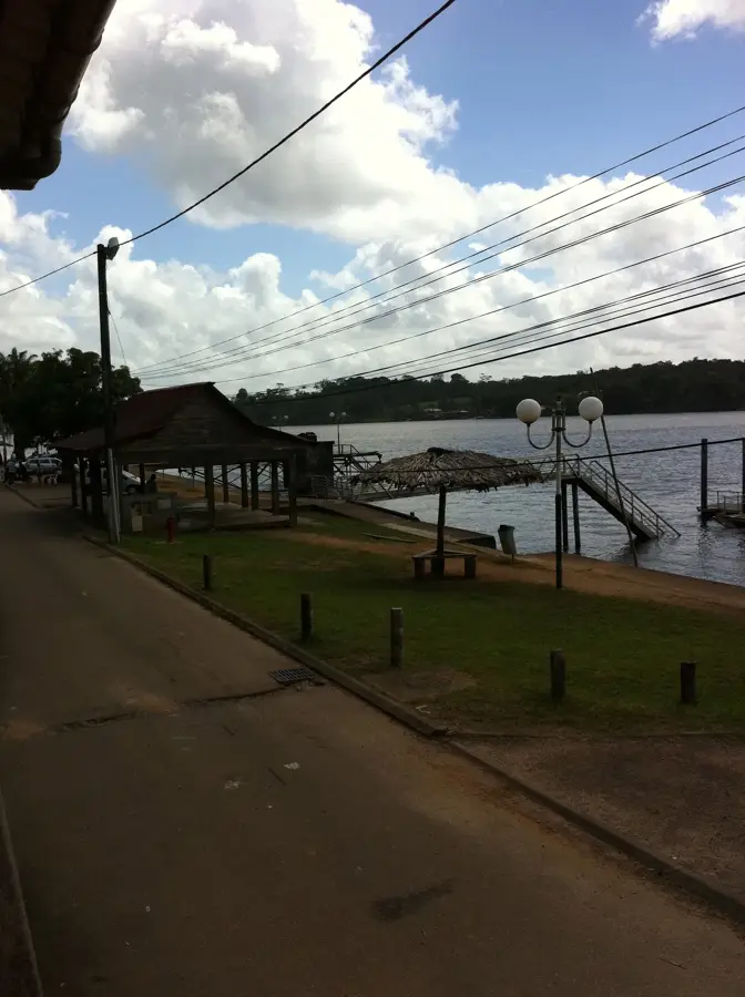
- Famous rapids include 'Saut Maripa' located near Saint-Georges.
- The river's mouth creates a vast bay known as the Baie de l'Oyapock.
- It is the second-longest border river in the department.
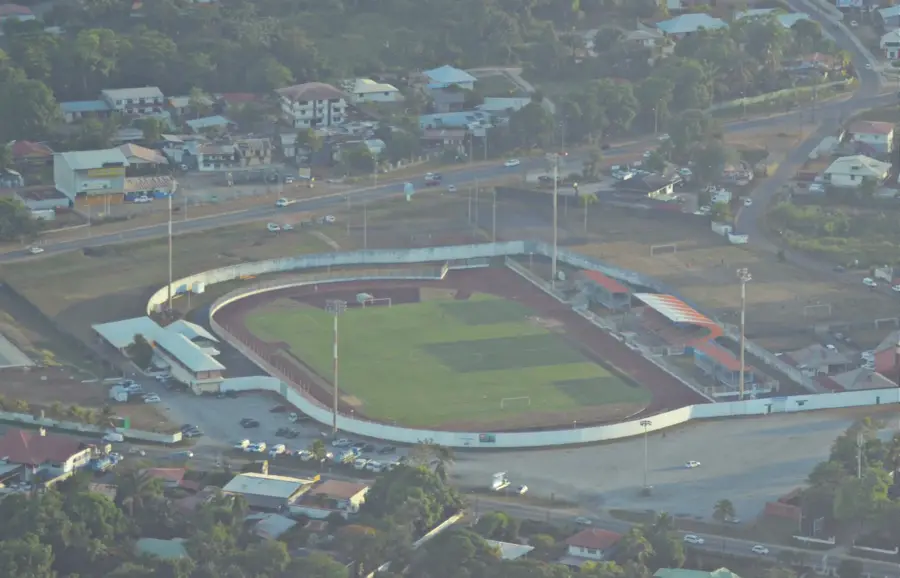
Explore nearby
Notable places around
Route planner — Car & Motorhome
Where do you start? We build the route here, with stops and country notes along the way.
© OpenStreetMap contributors · OpenRouteService
Sights in the town Oyapock River (1)
Sights nearby
Frequently asked questions
Is there a bridge over the Oyapock to Brazil?
How do you get from Cayenne to the Oyapock?
Can you take boat tours on the Oyapock?
Do I need a visa for Oiapoque?
How is the river's current?
Oyapock River: where is it located?
Oyapock River: when is the best time to visit?
Oyapock River: why is it worth visiting?

Nearby cities

History & landmarks

Nature
More places