Plizio Visual Lab
Approuague River

Weather…
Water temperature…
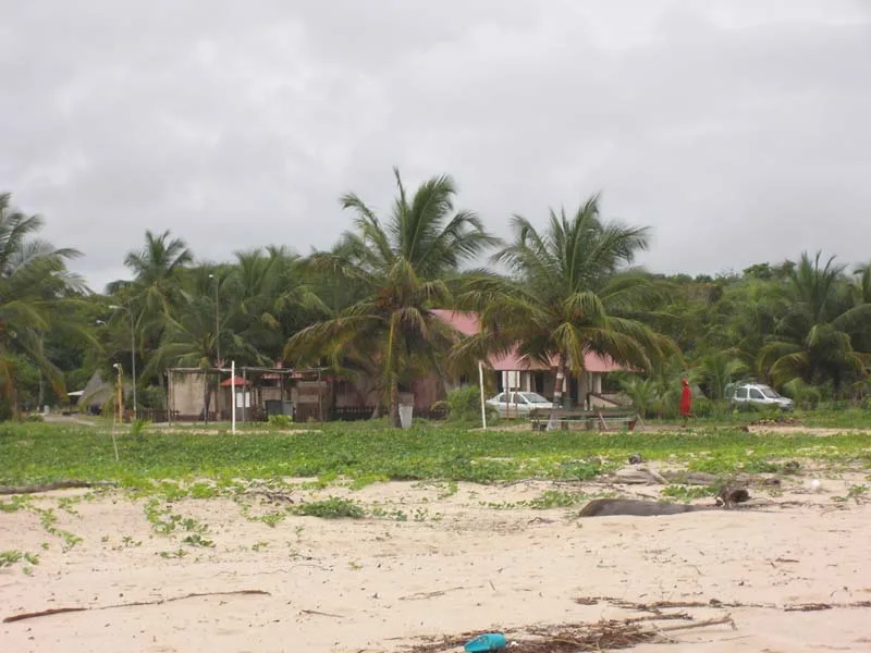
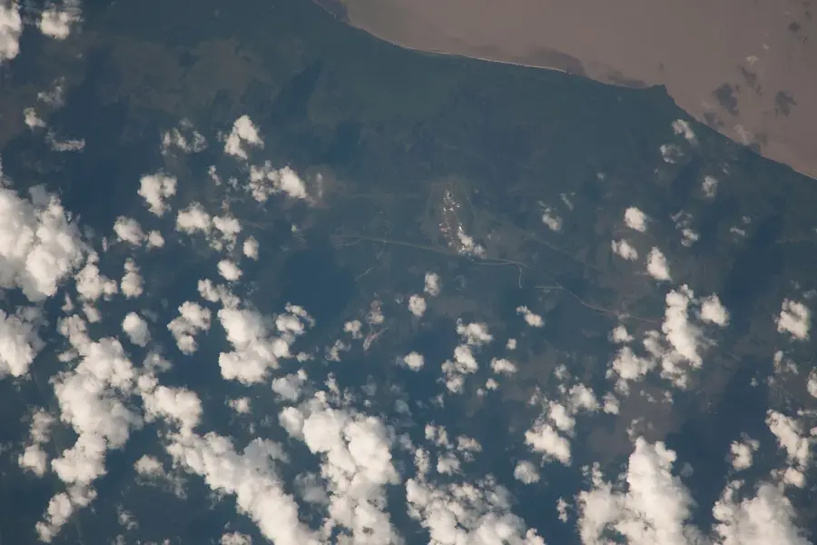
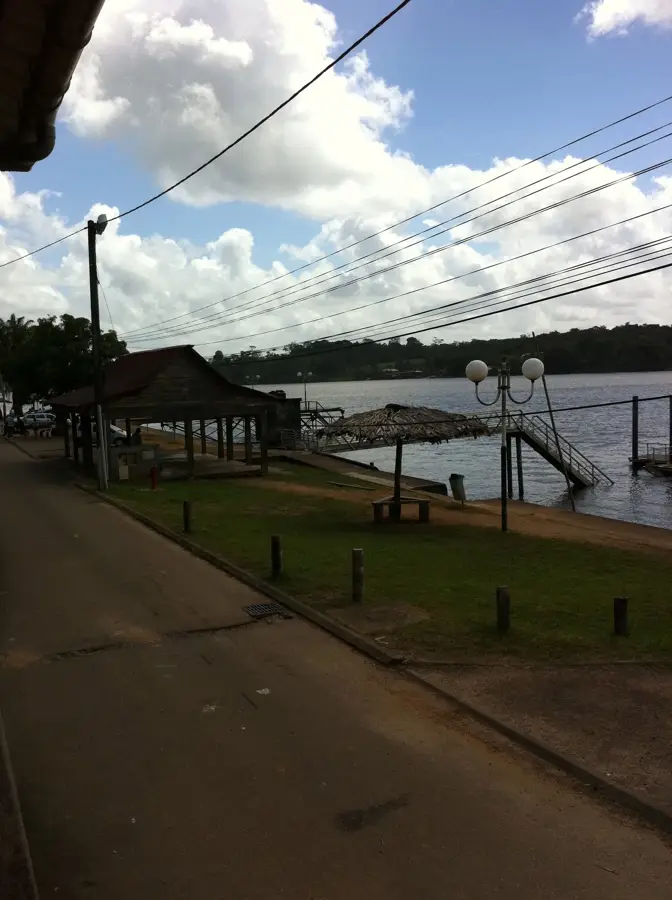
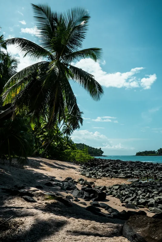
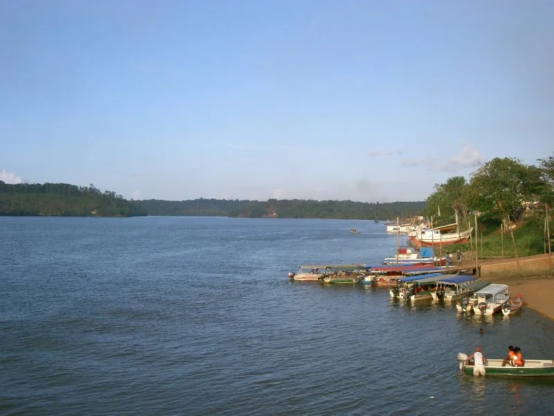
The Approuague is a river approximately 335 kilometers long in eastern French Guiana, renowned for its wild beauty and historical significance. It originates in the central massif and flows through some of the country's most inaccessible rainforest areas before emptying into a wide estuary at Guisanbourg on the Atlantic coast. The river is infamous for its massive rapids, particularly the 'Grand Machicou,' which is one of the most spectacular and dangerous 'sauts' in Guiana. Historically, the Approuague was a focal point of the 19th-century gold rush, leading to the establishment of remote settlements like Régina. Today, the riverbanks are largely uninhabited, providing a sanctuary for diverse wildlife including jaguars, tapirs, and rare bird species. The lower reaches are lined with dense mangrove forests that act as nurseries for many fish species. Ecotourism is gaining traction along the Approuague, with expeditions to its remote waterfalls serving as a highlight for nature enthusiasts. Despite its isolation, the river remains an important resource for the local population and a symbol of the untamable nature of the Amazon.
- Location: French Guiana
- Top sights: Montagne Collège · Débarcadère du Marais de Kaw · Roches gravées de la Montagne Favard
- Nearby: Kaw Marshes (17 km)
Best time to visit & climate
The most pleasant time to visit is Aug–Oct.
| Jan | Feb | Mar | Apr | May | Jun | Jul | Aug | Sep | Oct | Nov | Dec | |
|---|---|---|---|---|---|---|---|---|---|---|---|---|
| Avg °C | 26 | 26 | 26 | 26 | 26 | 26 | 26 | 27 | 27 | 28 | 28 | 27 |
| Rain mm | 309 | 285 | 278 | 379 | 468 | 304 | 200 | 96 | 45 | 51 | 101 | 292 |
📋 Practical info
Geography
Facts
- Emptying into the Atlantic between Cayenne and the Brazilian border.
- The 'Grand Machicou' is one of the largest rapids in the department.
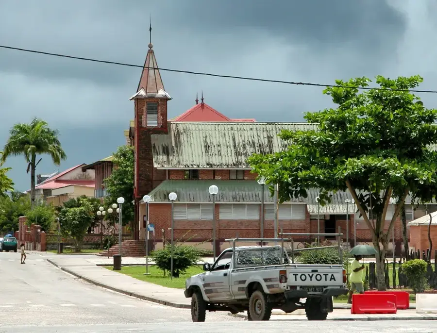
- The river passes through the village of Régina, a gateway to the east.
- The Nouragues Nature Reserve is located within its drainage basin.
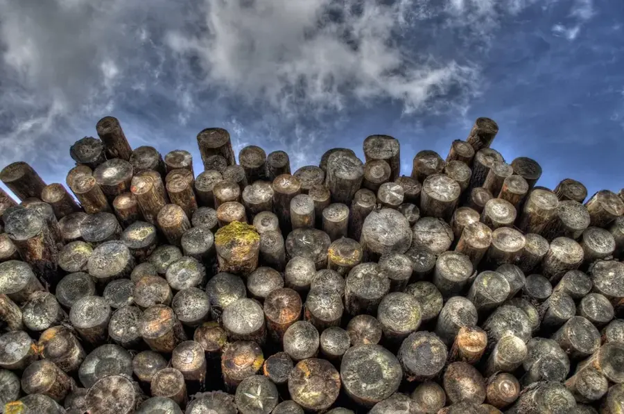
- Historically significant for the transport of precious timber and gold.
- Flow velocity can increase dramatically during the rainy season.
Explore nearby
Notable places around
Route planner — Car & Motorhome
Where do you start? We build the route here, with stops and country notes along the way.
© OpenStreetMap contributors · OpenRouteService
Sights in the town Approuague River (5)
Sights nearby
Frequently asked questions
What makes the Approuague River special?
How do you access the Approuague?
Are there accommodations along the river?
Is the river suitable for fishing?
What equipment do I need for a tour?
Approuague River: where is it located?
Approuague River: what is there to see?
Approuague River: when is the best time to visit?
Approuague River: why is it worth visiting?

Nearby cities

History & landmarks


Nature
More places