Plizio Visual Lab
Dorlin Gold Field
Weather…
Water temperature…
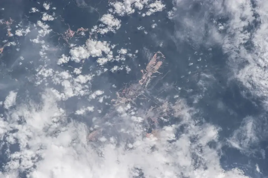
The Dorlin gold field is located in the west-central part of French Guiana, approximately 40 kilometers south of the commune of Maripasoula. It is a historical mining area that was active as early as the 1950s and is currently a focus for industrial exploration once again. The site is explored by the company Reeve Resources (a subsidiary of Auplata) and is notable for its location within an ecologically sensitive zone. Gold mineralization is tied to quartz veins within volcano-sedimentary rocks, typical of the Guiana Shield. Because the site is within the catchment area of the Petit Inini River, environmental protection is a top priority for all projects in Dorlin. Historically, the area was often targeted by illegal gold miners, which is why legal development is also seen as a means of securing state control over the territory. Logistics are mostly handled by air or via difficult land tracks, increasing operational costs.
Best time to visit & climate
The most pleasant time to visit is Aug–Oct.
| Jan | Feb | Mar | Apr | May | Jun | Jul | Aug | Sep | Oct | Nov | Dec | |
|---|---|---|---|---|---|---|---|---|---|---|---|---|
| Avg °C | 25 | 25 | 25 | 25 | 25 | 25 | 25 | 25 | 26 | 28 | 28 | 26 |
| Rain mm | 211 | 224 | 231 | 305 | 355 | 272 | 197 | 114 | 51 | 65 | 95 | 218 |
📋 Practical info
Geography
Facts
- Historical mining area active since the 1950s
- Located approximately 40 km south of Maripasoula
- Exploration by Reeve Resources (Auplata Group)
- Situated in the Petit Inini River catchment area
- Gold is found in quartz veins within volcanic rocks
- Logistics are primarily handled via air or land tracks
Explore nearby
Notable places around
Route planner — Car & Motorhome
Where do you start? We build the route here, with stops and country notes along the way.
© OpenStreetMap contributors · OpenRouteService
Sights nearby
Frequently asked questions
Where is the Dorlin goldfield located?
Is active extraction still happening there?
Can you hike there as a tourist?
How is the gold transported?
Are there settlements in Dorlin?
Dorlin Gold Field: where is it located?
Dorlin Gold Field: when is the best time to visit?
Dorlin Gold Field: why is it worth visiting?

Nearby cities

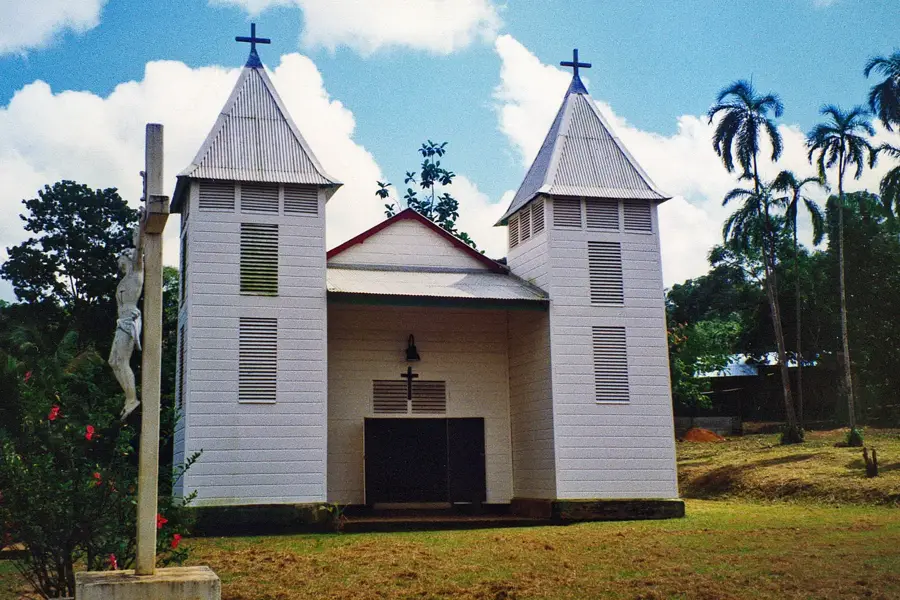
History & landmarks
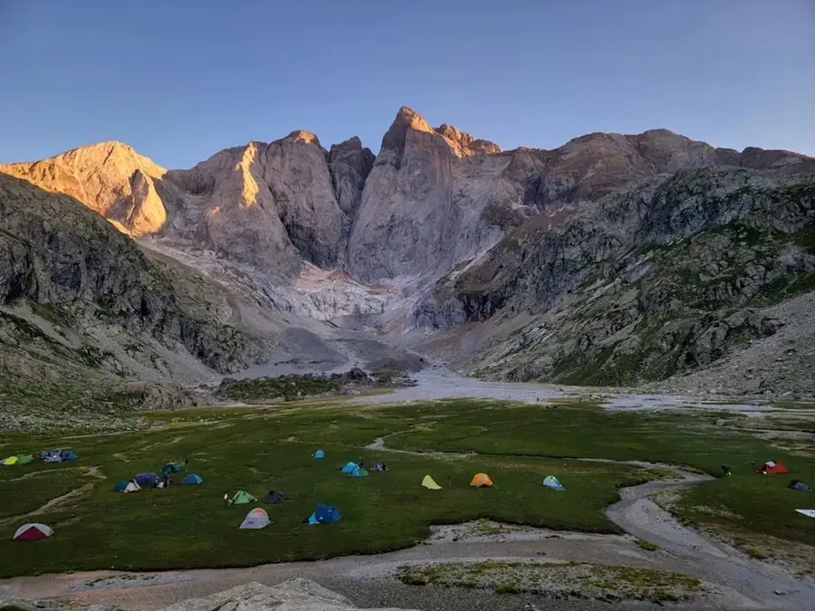
Nature
More places