Plizio Visual Lab
Monts d'Arawa
Weather…
Water temperature…
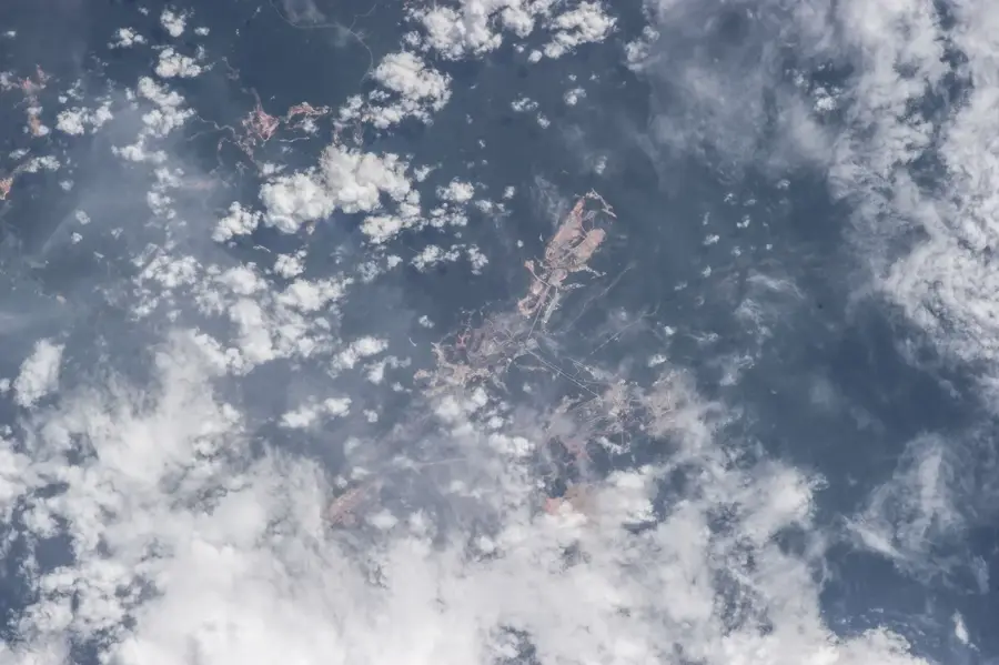
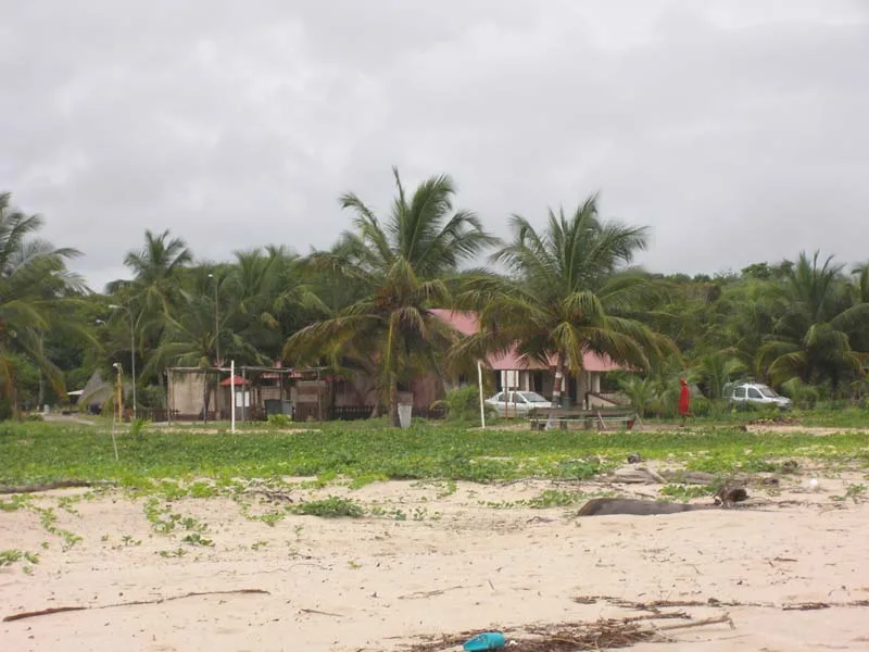
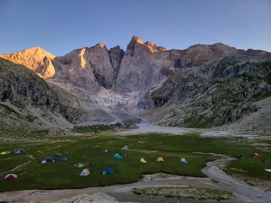
The Monts d'Arawa are located in the central part of French Guiana, representing a key topographical feature within the dense rainforest landscape. This mountain range is part of the broader mid-elevation system that separates the interior highlands from the coastal plains. Geologically, the region is characterized by metamorphic rocks and granite intrusions, typical of the ancient Guiana Shield structure. The slopes of the Arawa mountains are clad in primary tropical rainforest, hosting numerous rare tree species and a rich variety of bird life. Due to their difficult accessibility, human presence in this area remains minimal, which has facilitated the preservation of intact ecosystems. Historically, the range was mapped by early explorers tracking the course of the Mana River and its tributaries into the hinterland. Today, the region serves as a significant research site for biologists studying the biodiversity of isolated montane forests. Climatic conditions are defined by high humidity and frequent orographic rainfall, which feeds numerous small streams along the mountainsides.
Best time to visit & climate
The most pleasant time to visit is Aug–Oct.
| Jan | Feb | Mar | Apr | May | Jun | Jul | Aug | Sep | Oct | Nov | Dec | |
|---|---|---|---|---|---|---|---|---|---|---|---|---|
| Avg °C | 25 | 25 | 25 | 25 | 25 | 25 | 25 | 25 | 26 | 28 | 28 | 26 |
| Rain mm | 211 | 224 | 231 | 305 | 355 | 272 | 197 | 114 | 51 | 65 | 95 | 218 |
📋 Practical info
Geography
Facts
- The Monts d'Arawa are situated within the catchment area of the Mana River.
- The average elevation of the peaks ranges between 400 and 500 meters.
- Accessibility to the region is limited almost entirely to air or river travel.
- Geological surveys have identified significant deposits of metamorphic schists.
- The mountain area is a vital habitat for the Red Howler monkey population.
- Annual precipitation levels are among the highest recorded in the central district.
Explore nearby
Notable places around
Route planner — Car & Motorhome
Where do you start? We build the route here, with stops and country notes along the way.
© OpenStreetMap contributors · OpenRouteService
Sights nearby
Frequently asked questions
How can I reach Monts d'Arawa?
Is a guide required for the hike?
What animals can be seen here?
When is the best time to visit?
Are there accommodation options there?
Monts d'Arawa: where is it located?
Monts d'Arawa: when is the best time to visit?
Monts d'Arawa: why is it worth visiting?

Nearby cities
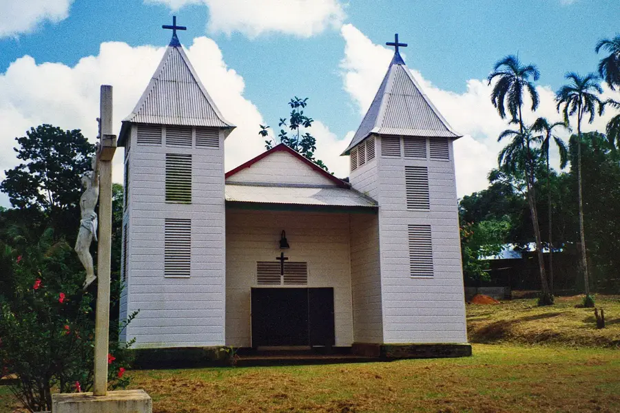
History & landmarks
Nature
More places