Plizio Visual Lab
Lac du Salagou
Weather…
Water temperature…
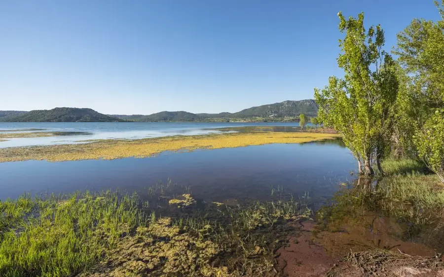
Lake Salagou is an artificial reservoir in the Hérault department of southern France, created following the completion of a dam in 1969. It is most famous for its surreal landscape, characterized by the striking contrast between deep blue water and the spirited red sedimentary rocks known as 'ruffes' (Permian shale). Spanning roughly 750 hectares, the lake primarily serves local agricultural irrigation and has become a major hub for water sports and hiking. The region's unique geological features, including volcanic remains and unusual rock formations, have earned the area protected status. On the lakeshore lies the photogenic village of Celles, which was originally slated for flooding but was partially preserved and is now seeing a slow revival.
- Location: Occitanie, France
- Top sights: Menhir dit la Pierre Droite de l'Ouïsse · Mont de Sainte-Scholastique · Ancienne pompe à eau "éolienne"
- Nearby: Lac du Salagou (4 km)
Best time to visit & climate
The most pleasant time to visit is Jun, Aug, Sep.
| Jan | Feb | Mar | Apr | May | Jun | Jul | Aug | Sep | Oct | Nov | Dec | |
|---|---|---|---|---|---|---|---|---|---|---|---|---|
| Avg °C | 7 | 7 | 10 | 13 | 17 | 22 | 25 | 24 | 20 | 16 | 11 | 8 |
| Rain mm | 52 | 39 | 48 | 59 | 49 | 30 | 20 | 25 | 51 | 82 | 73 | 47 |
📋 Practical info
Geography
Facts
- The Salagou dam was completed and the lake filled in 1969.
- The lake covers a water surface area of approximately 750 hectares.
- The maximum depth of the reservoir is about 45 meters.
- Renowned for its 'ruffes', red sedimentary rocks dating to the Permian.
- The village of Celles was evacuated for the flood but remained above water.
- The site is designated as part of the 'Grand Site de France' network.
Explore nearby
Notable places around
Route planner — Car & Motorhome
Where do you start? We build the route here, with stops and country notes along the way.
© OpenStreetMap contributors · OpenRouteService
Sights in the town Lac du Salagou (10)
Église Saint-Geniès-d'Arles
Church in the Hérault department, France, dedicated to Saint Geniès.
Château de Mourèze🏰 castle
Castle ruin above the village of Mourèze, surrounded by rock formations.
Église Sainte-Marie
Church in the Hérault department, France, dedicated to Saint Mary.
Ermitage Saint-Jean d'Aureillan
Ruin of a hermitage, located in a remote natural setting.
Cirque de Mourèze
Natural limestone amphitheater, a popular hiking destination.
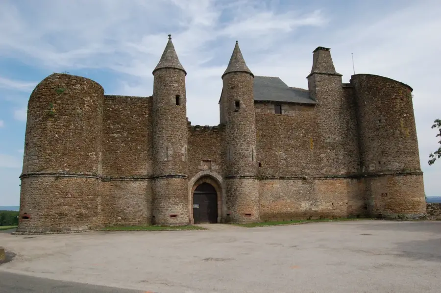
Château de la Marguerite🏰 castle
Castle ruin on a hilltop with views of the area.
Sights nearby
Frequently asked questions
Why is the soil red at Lac du Salagou?
Can you swim in the lake?
Are motorboats allowed?
Is there a trail around the lake?
What is the abandoned village of Celles?
Lac du Salagou: where is it located?
Lac du Salagou: what is there to see?
Lac du Salagou: when is the best time to visit?
Lac du Salagou: why is it worth visiting?

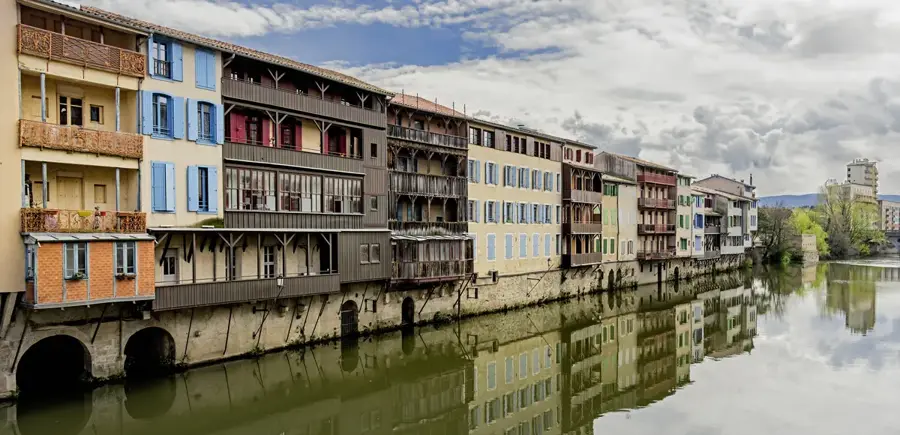
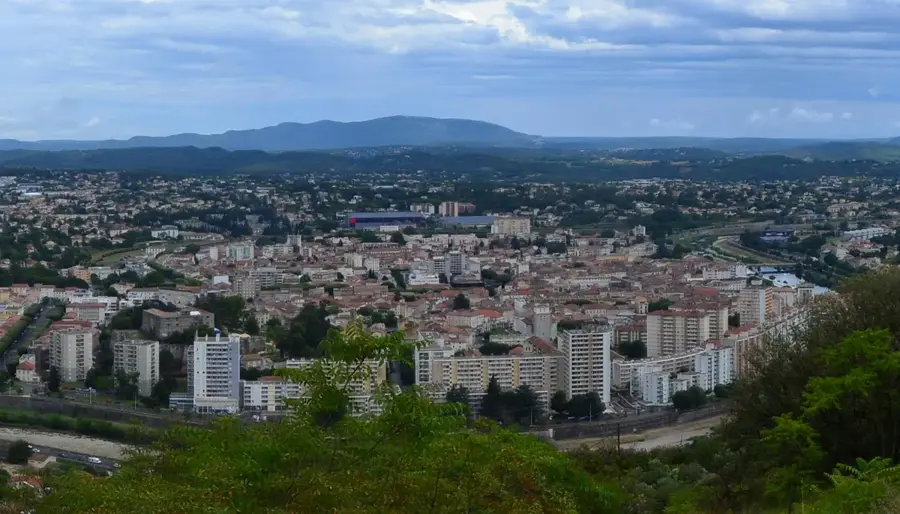
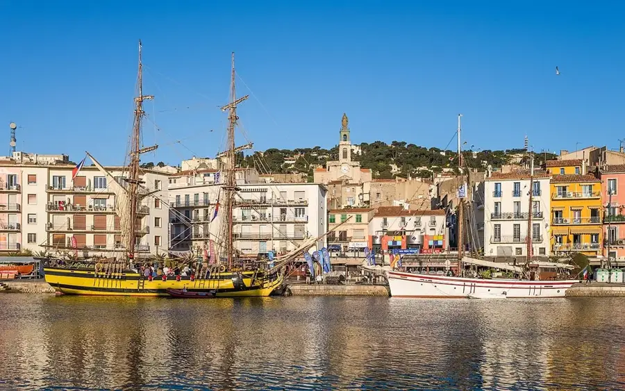
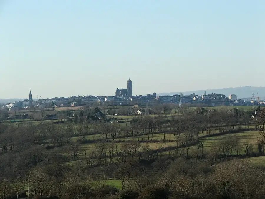
Nearby cities