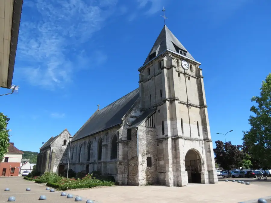
Sound and Light Show - Saint-Samson Church
An immersive 20-minute journey through history in the heart of the medieval town, with three nightly performances.
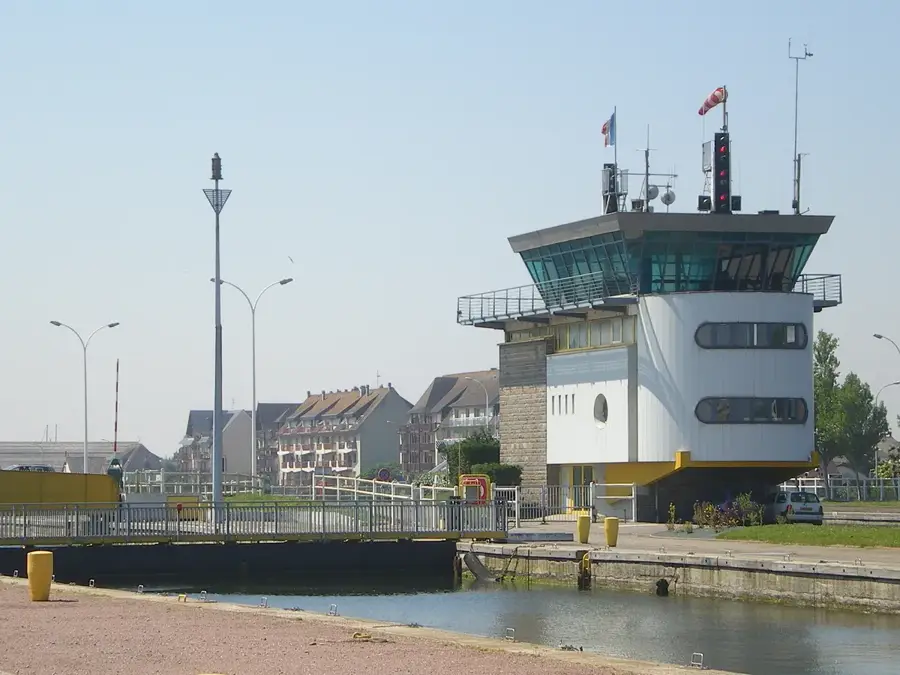
Plizio Visual Lab
Fresh scallops at portside seafood restaurants.
Savory buckwheat crepes at beachfront crêperies.
Local Norman cider to accompany your meals.
Daily fish market for the freshest catch.
Main street for local products like Camembert and Calvados.
A peaceful nature reserve where the Orne river meets the sea.
A tranquil towpath well-suited for cycling or walking.
Water temperature…
An immersive 20-minute journey through history in the heart of the medieval town, with three nightly performances.
Every morning, the fish market hall comes alive with the nightly catch. Find a wide selection of fresh mackerel, sea bass, shrimp, and mussels.
A private contemporary art collection featuring works by Robert Combas, world-class photography, and precious 15th-century textiles.
Discover the daily life and equipment of soldiers during WWII. The reenactment is included in the entrance ticket price.
Virginie Tréfert showcases paintings on metal, a living medium that captures, reflects, and transforms light beautifully.
A benefit concert for medical research featuring notes from yesterday and today. Refreshments available on site.
Galerie Delobel hosts a blood drive, an essential solidarity gesture to save lives and help patients in need.
A collective exhibition of Norman artists featuring visual arts, graphics, modeling, and sculptures.
Embark on a visual journey through this photographic exhibition presented by the Surface Sans Cible association.
A craft collective presents creations in wood, painting, macramé, and paper modeling, showcasing diverse creative skills.
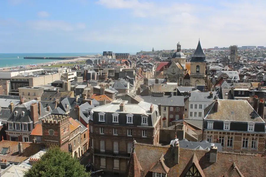
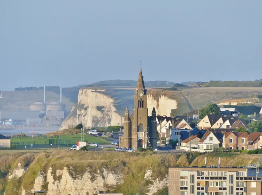
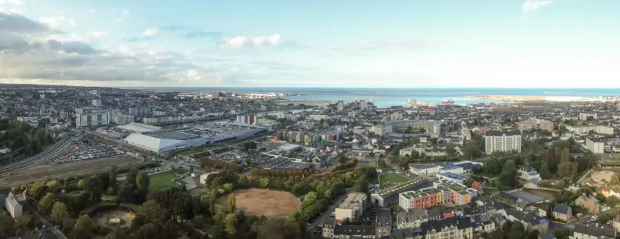
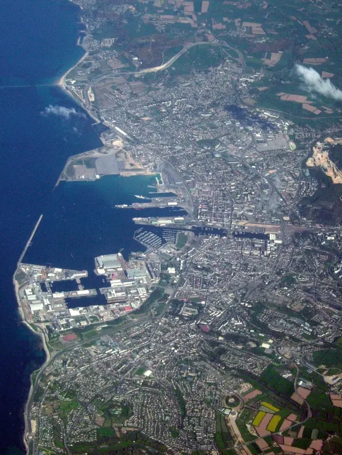
Ouistreham is a historic port town in the Calvados department, serving as the maritime gateway to the city of Caen. Its significance is rooted in the 20th century, specifically the D-Day landings, where its beach, codenamed Sword Beach, witnessed fierce fighting as British and French commandos fought to liberate the town and seize the locks of the Orne Canal. The 'Grand Bunker' Museum stands as a grim reminder of the German occupation. Today, the town is divided into the old village, with its medieval tithe barn, and the seaside resort of Riva-Bella. The resort is famous for its wide sandy beaches, sand yachting, and its high-end thalassotherapy center. The port remains bustling as the arrival point for ferries from Portsmouth, England, operated by Brittany Ferries. Geographically, the town is positioned between the sea and the Orne estuary, a protected wetland area teeming with birdlife. With its striking red-and-white lighthouse and animated fish markets, Ouistreham perfectly embodies the maritime spirit and historical resilience of Normandy.
The most pleasant time to visit is Jul–Sep.
| Jan | Feb | Mar | Apr | May | Jun | Jul | Aug | Sep | Oct | Nov | Dec | |
|---|---|---|---|---|---|---|---|---|---|---|---|---|
| Avg °C | 7 | 7 | 8 | 10 | 12 | 15 | 17 | 18 | 17 | 14 | 11 | 8 |
| Rain mm | 84 | 69 | 64 | 44 | 52 | 46 | 50 | 58 | 55 | 87 | 98 | 101 |
See what it looks like near Ouistreham right now.
Ouistreham · 1.2 km · Open webcam on Windy · Webcams provided by Windy.com
Notable places around
Where do you start? We build the route here, with stops and country notes along the way.
© OpenStreetMap contributors · OpenRouteService
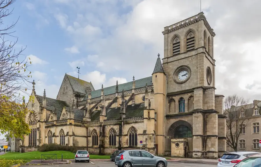
Start your morning in the heart of Ouistreham at the Romanesque Saint Samson Church, taking in its quiet history before strolling down to the vibrant Port de Plaisance. Around midday, head north to the iconic Ouistreham Lighthouse. After climbing for panoramic views, you'll be perfectly positioned to dive into the town's profound wartime history. Spend your afternoon exploring The Big Bunker and the nearby N°4 Commando Museum. These deeply moving historical sites offer incredible insight into the events of D-Day. Conclude your walking tour near the museums as the evening approaches. The solemn yet peaceful atmosphere of the coastal monuments perfectly wraps up your reflective day in Normandy.
Start your day at Saint Samson Church, offering a dry sanctuary from the morning showers. The walk to the marina is atmospheric in the rain, but waterproof gear is essential for the lighthouse path. In the afternoon, the Atlantic Wall and Commando museums provide the perfect indoor refuge to explore history. The evening ends near the coast, where the stormy sea creates a dramatic backdrop.
A crisp winter morning starts within the sheltered walls of Saint Samson Church. At the marina, the biting sea breeze invigorates you before you warm up in the museums. Since it gets dark around 17:00, ensure you visit the lighthouse early. The evening is best enjoyed near the harbor lights with a hot drink in hand.
Hop on your bike to breeze past Saint Samson Church and cruise down to the bustling Marina. The morning sea air sets an energizing tone for your coastal Normandy adventure. Pedal towards the Ouistreham Lighthouse and The Big Bunker. The short distances make cycling the perfect way to link these historical gems without losing momentum. Your afternoon ride takes you past the N°4 Commando Museum before setting off on a scenic coastal path towards the legendary and expansive sands of Sword Beach. Wind down by cycling slowly along Sword Beach at dusk. The rhythmic crashing of the waves provides a contemplative end to a day filled with powerful history and natural beauty.
A rainy bike tour requires caution on the wet roads to the marina. Plan longer breaks in the museums to dry your gear. The ride to Sword Beach can be challenging in wind and rain, but offers wild coastal views. Watch out for slippery turns and finish the tour before visibility decreases significantly.
Winter cycling in Ouistreham offers fresh air and empty paths. Start at the church and ride well-layered to the harbor. The chill from the channel is more intense on a bike, so gloves are mandatory. Use the museums as warming stations. Plan to be back before 17:00, as the temperature drops sharply after sunset.
Begin driving into Ouistreham's heritage starting at Saint Samson Church, then efficiently drive to the towering Big Bunker to beat the largest midday tourist crowds. After a sobering visit to the N°4 Commando Museum, easily hop in your car to reach the Ouistreham Lighthouse and the nearby Marina, enjoying the flexibility of your vehicle. Drive eastward to discover the quieter Plage de la Redoute, stepping out to enjoy the sand before taking a short scenic drive down the coast to the historic Sword Beach. Finish your road trip reflecting by the vast expanse of Sword Beach. Your car allows you to stay until sunset, maximizing your time taking in the dramatic Norman coastline.
By car, Ouistreham is easy to explore even in the rain. Start at the church and use the parking lots near the museums to stay dry. The morning at the Big Bunker provides protection from the heaviest showers. In the afternoon, the lighthouse and harbor are quickly accessible between rain spells. The day ends at Sword Beach, where you can watch the stormy sea from the comfort of your car.
Explore Ouistreham in winter from the comfort of your heated car. Start at Saint Samson Church and spend the coldest hours in the well-tempered museums. Short car trips minimize contact with the icy sea wind. Plan your visit to Sword Beach for the late afternoon to enjoy the winter sunset around 17:00 from the parking lot.
Resting along the shores of Ouistreham, Sword Beach serves as an extensive stretch of sand marked by immense historical weight. Today, it balances a quietly dignified atmosphere of remembrance with the everyday joys of coastal life. Visitors can walk the long sands to pay their respects while also enjoying tranquil swimming and sunbathing. Setting aside time to simply stand by the water's edge provides a deeply moving perspective of this pivotal coastline.