Plizio Visual Lab
Keimiötunturi
Weather…
Water temperature…
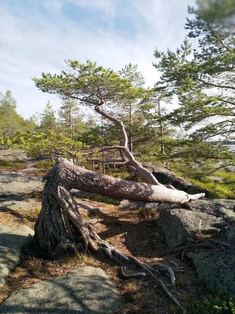
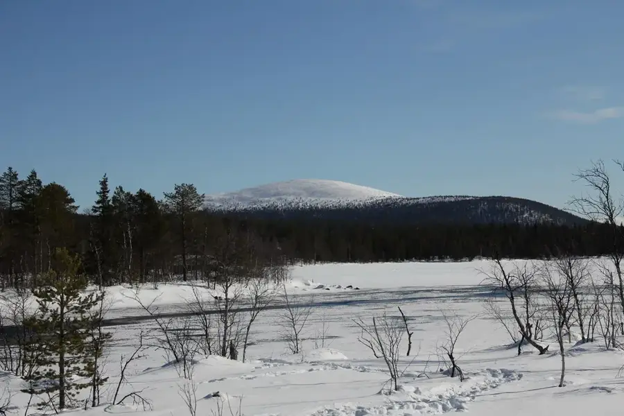
Keimiötunturi is a prominent fell in northwestern Finland, located in the Muonio municipality within the Pallas-Yllästunturi National Park. Reaching an elevation of 614 meters above sea level, it provides extensive panoramic views over Lake Jerisjärvi and the surrounding fell landscape. Geologically, the formation consists primarily of hard quartzite, which has successfully withstood glacial erosion over thousands of years. The area holds historical significance for the indigenous Sami people, who traditionally utilized the slopes for reindeer husbandry and recognized the peak as a culturally important site. Today, the fell serves as a vital location for ecological research and sustainable tourism, showcasing a variety of subarctic flora and fauna. The well-maintained hiking trails lead to the summit, passing by the Keimiöjärvi wilderness hut, which remains a key facility for explorers in the Lapland wilderness.
- Location: Finland
- Nearby: Pallas (19 km)
Best time to visit & climate
The most pleasant time to visit is Jun–Aug.
| Jan | Feb | Mar | Apr | May | Jun | Jul | Aug | Sep | Oct | Nov | Dec | |
|---|---|---|---|---|---|---|---|---|---|---|---|---|
| Avg °C | -13 | -13 | -8 | -3 | 4 | 10 | 14 | 12 | 6 | -1 | -8 | -11 |
| Rain mm | 41 | 36 | 33 | 42 | 74 | 91 | 109 | 95 | 79 | 61 | 52 | 49 |
📋 Practical info
Geography
Facts
- The peak reaches an elevation of 614 meters above sea level.
- It is situated within Pallas-Yllästunturi National Park, established in 1938.
- The fell is geologically composed of erosion-resistant quartzite rock.
- Snow covers the region for an average of 200 days each year.
- The nearby Lake Jerisjärvi is renowned for its high water purity.
- Traditional Sami reindeer grazing routes still pass through the area.
Explore nearby
Notable places around
Route planner — Car & Motorhome
Where do you start? We build the route here, with stops and country notes along the way.
© OpenStreetMap contributors · OpenRouteService
Sights nearby
Frequently asked questions
What is special about Keimiötunturi?
How long is the ascent?
Are there reindeer there?
Is the trail rocky?
Can you pick blueberries there?
Keimiötunturi: where is it located?
Keimiötunturi: when is the best time to visit?
Keimiötunturi: why is it worth visiting?

Nearby cities