Plizio Visual Lab
Kumputunturi

Weather…
Water temperature…
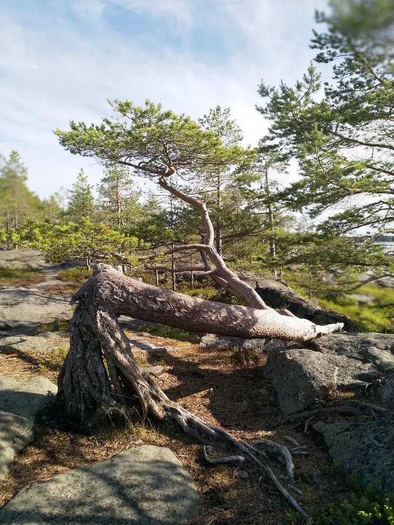
Kumputunturi is an isolated fell massif in the Kittilä municipality that rises prominently from the surrounding forest landscape. Geologically, the mountain is a relic from the early Proterozoic era and consists mainly of hard volcanic rocks. Historically, the summit served for decades as a location for a fire lookout tower, from which Lapland's vast forests were monitored for fires. The tower still stands today and is a testament to former forestry surveillance practices. The slopes are covered with dense coniferous forests that give way to an open stone desert near the summit. Kumputunturi is known for its remoteness and features hikers seeking tranquility a pristine environment far from the major tourist centers of Levi.
- Location: Finland
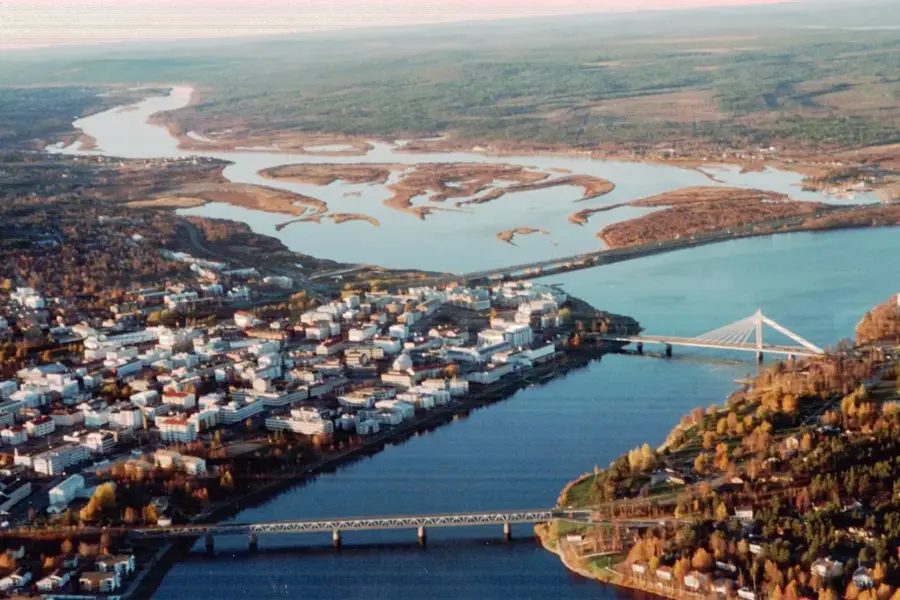
- Nearby: Levi (16 km)
Best time to visit & climate
The most pleasant time to visit is Jun–Aug.
| Jan | Feb | Mar | Apr | May | Jun | Jul | Aug | Sep | Oct | Nov | Dec | |
|---|---|---|---|---|---|---|---|---|---|---|---|---|
| Avg °C | -13 | -13 | -8 | -3 | 4 | 10 | 14 | 12 | 6 | -1 | -8 | -11 |
| Rain mm | 41 | 35 | 33 | 43 | 73 | 88 | 110 | 95 | 80 | 61 | 52 | 48 |
📋 Practical info
Geography
Facts
- Kumputunturi reaches an elevation of 581 meters above sea level.
- The historical fire lookout tower was built in 1939.
- The area is located about 50 kilometers northeast of the Levi ski resort.
- The geological structure is characterized by greenschist formations.
- In winter, the summit is a popular destination for snowmobile riders.
- The region is known for its occurrences of protected orchid species.
Explore nearby
Notable places around
Route planner — Car & Motorhome
Where do you start? We build the route here, with stops and country notes along the way.
© OpenStreetMap contributors · OpenRouteService
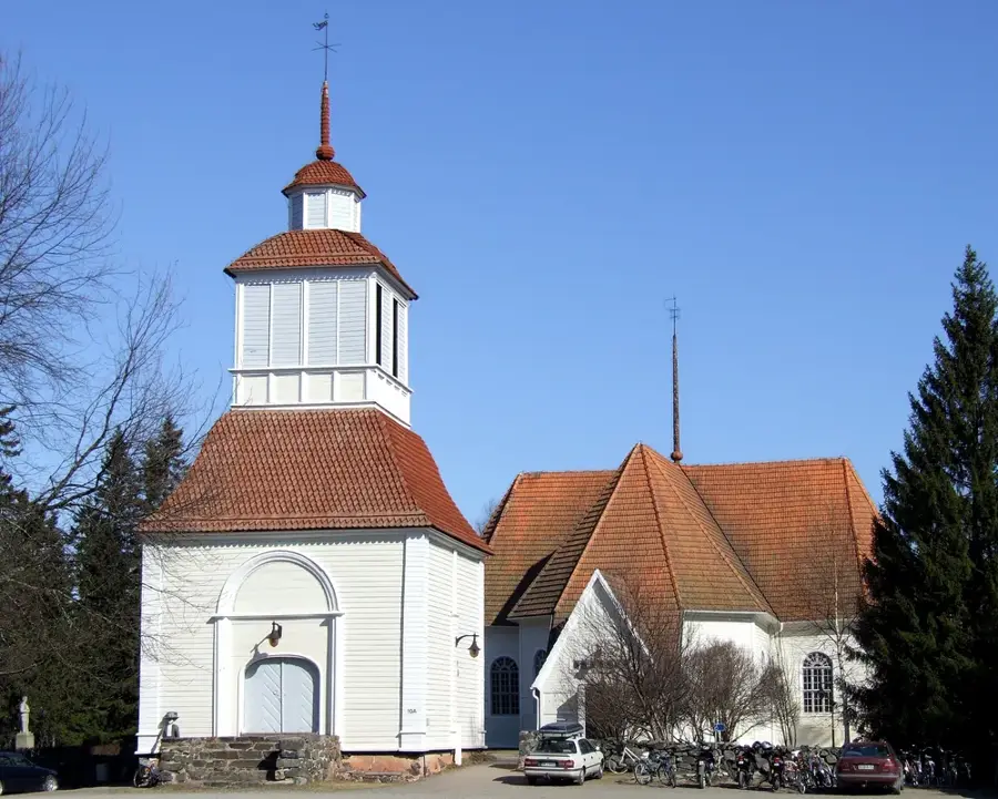
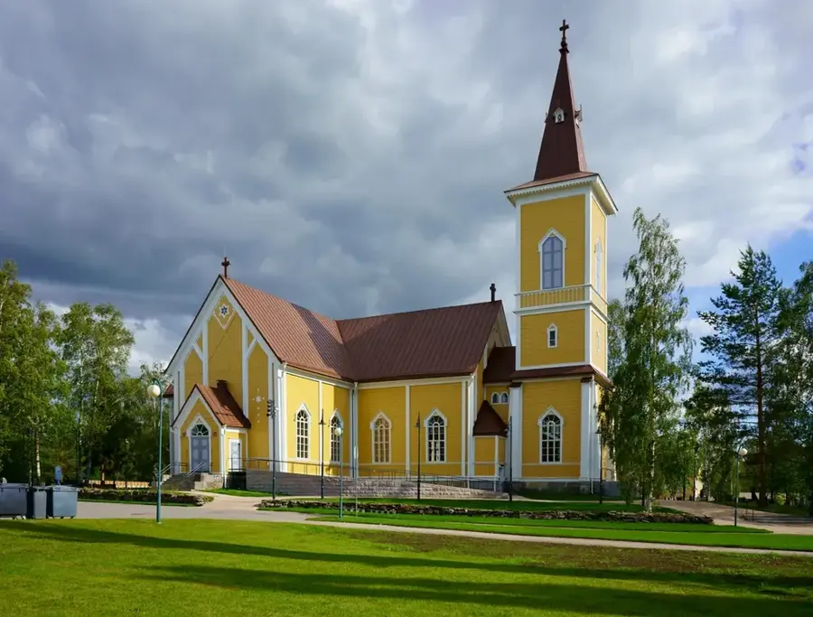
Sights nearby
Frequently asked questions
How high is Kumputunturi?
Where does the hike start?
Is there an observation tower?
Is the trail hard to find?
Can you go snowshoeing in winter?
Kumputunturi: where is it located?
Kumputunturi: when is the best time to visit?
Kumputunturi: why is it worth visiting?

Nearby cities