Plizio Visual Lab
Alamata
ℹ️Practical info — Alamata
▾
🌤 Weather — 5 days
📍 Nearby
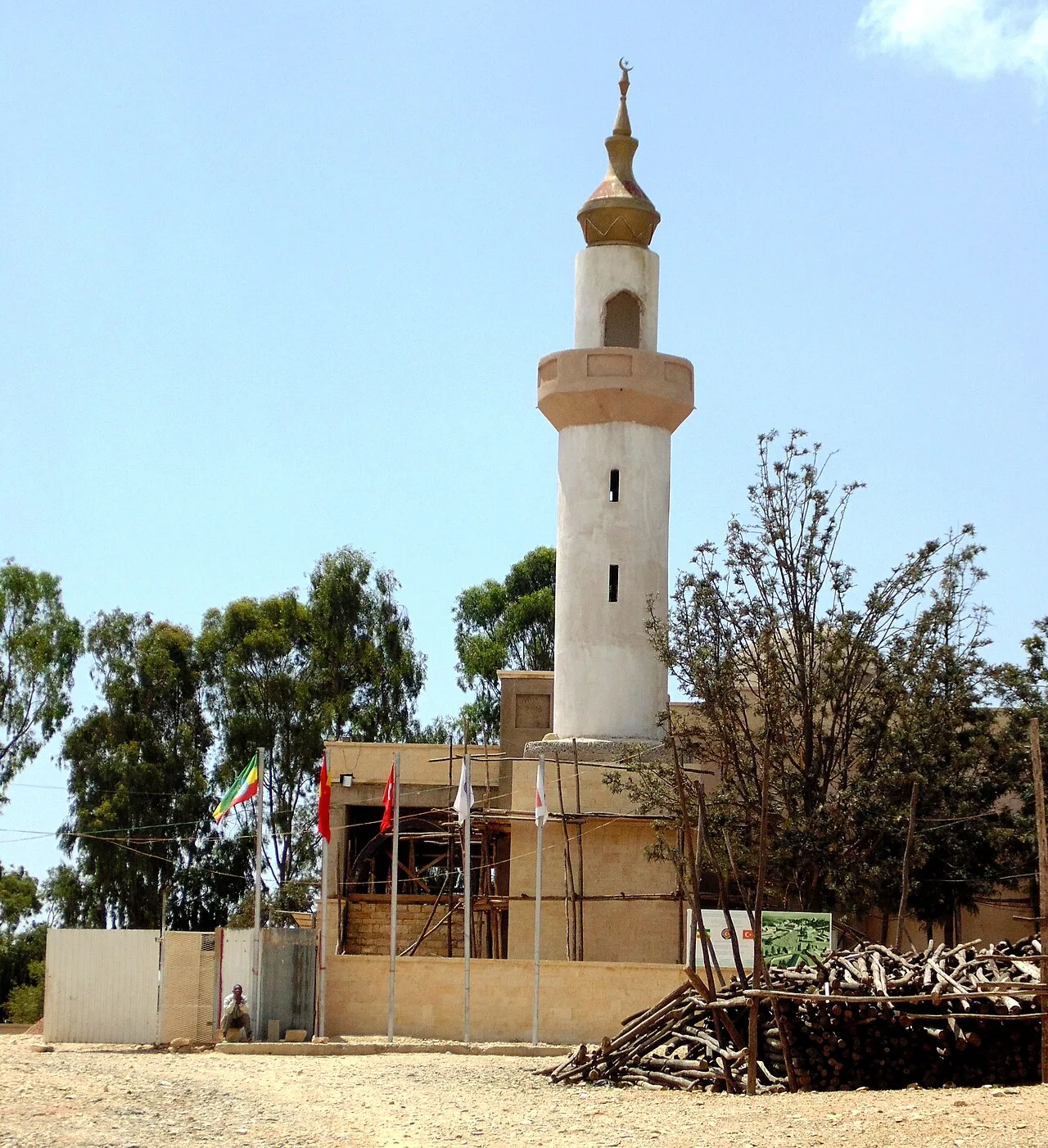
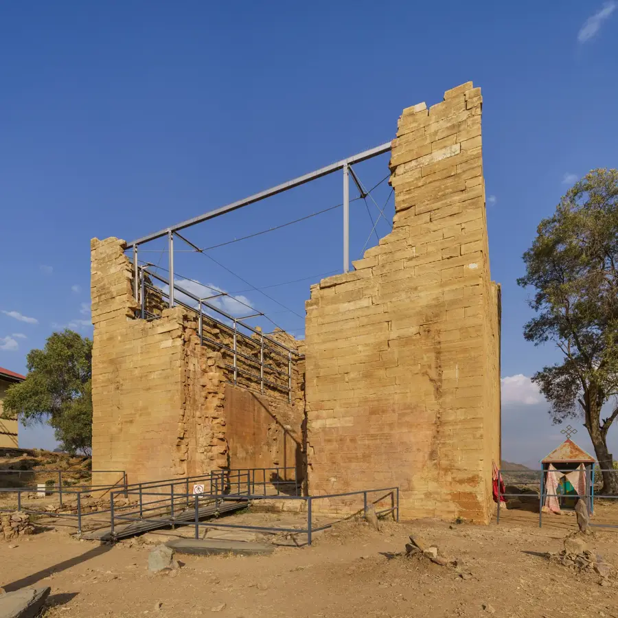
Sights nearby
💡 Tips
- Visit during a local market day to experience the bustling trade of this fertile agricultural plain.
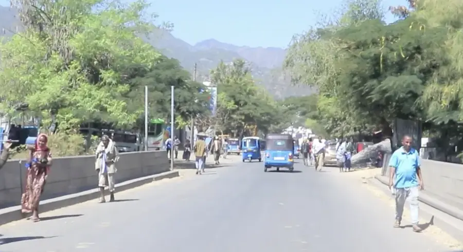
- The town is a major transport hub on the north-south route; early morning is the best time to catch onward buses.
- Be prepared for a warm climate, but always carry a light jacket for the cooler Ethiopian evenings.
- When drinking traditional coffee, participate in the full ceremony if invited, as it is a mark of respect.
🍽 Food
A staple dish of sourdough flatbread with a rich chickpea stew, available in most local eateries.
Sizzling meat strips are a popular choice in the traditional restaurants near the main road.
Enjoy a freshly roasted and brewed coffee in a traditional local cafe.
🛍 Shopping · 🧘 Quiet spots
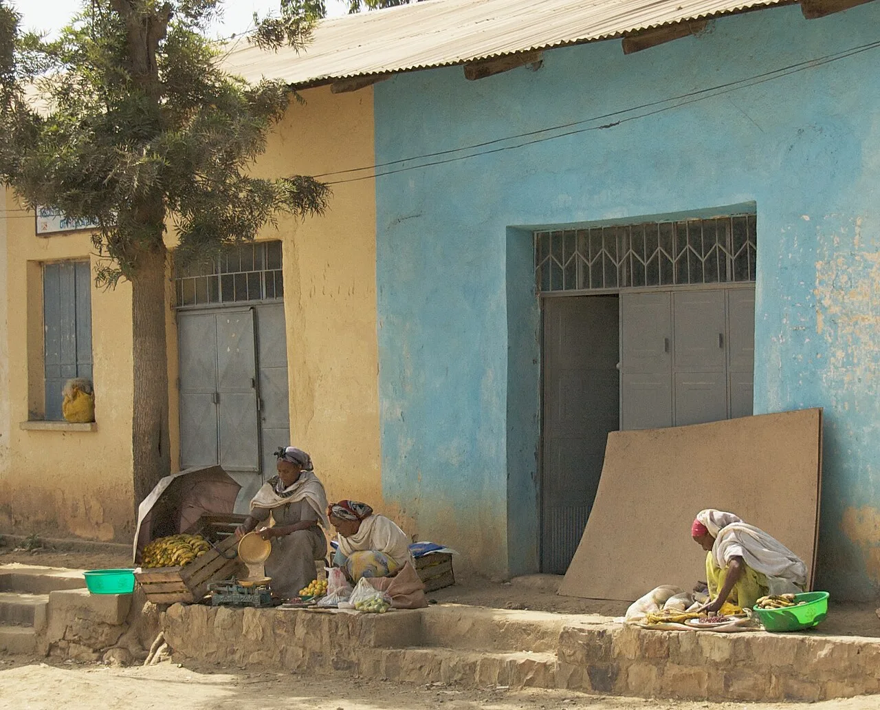
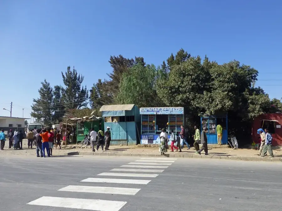
The spirited market is great for buying authentic berbere spice and fresh crops.
Look for traditional Ethiopian cotton garments, known as 'shemma', in the central market area.
Take a stroll on the dirt roads leading out of town to see the vast, fertile farmland.
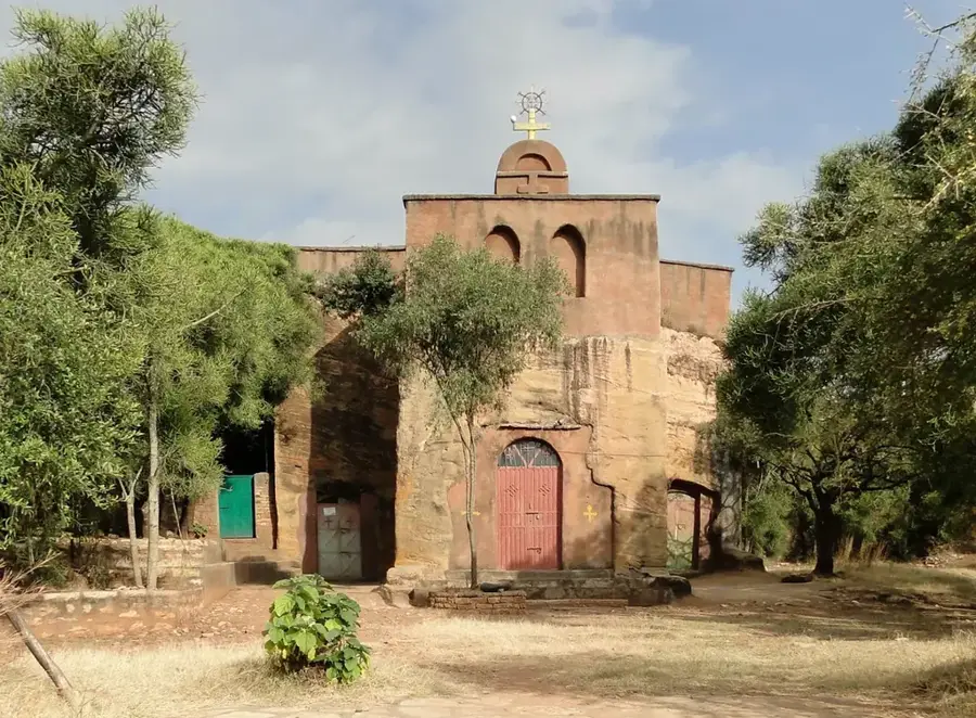
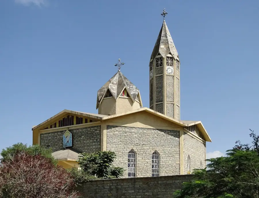
The grounds of Ethiopian Orthodox churches often provide a serene and shaded environment.
Water temperature…
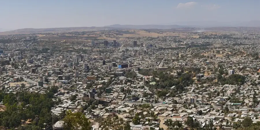
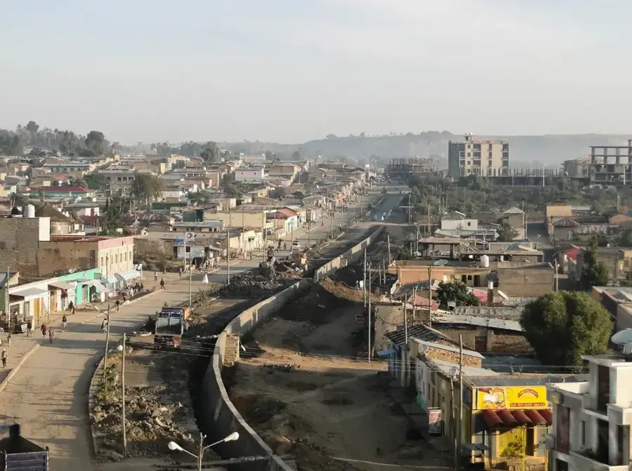
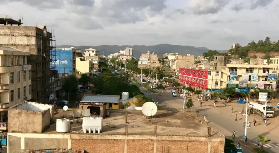
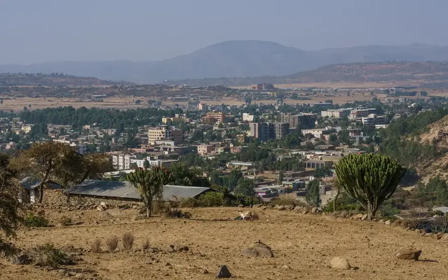
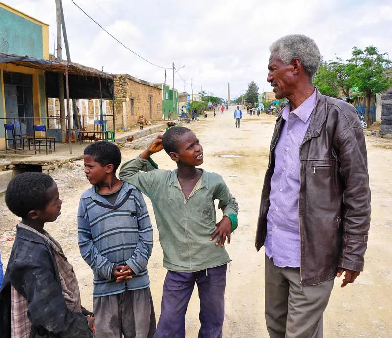
Alamata is a significant town in the southern part of the Tigray Region, Ethiopia, situated at the foot of the eastern escarpment of the Ethiopian Highlands. With an elevation of approximately 1,520 meters, the town forms a gateway between the lower-lying Afar regions and the rugged highlands of Tigray and Wollo. Historically, Alamata has been an important agricultural center, particularly renowned for the production of cereals and pulses in the fertile Raya plain. The town serves as a vital commercial hub along Ethiopia's main north-south highway. Local culture is strongly influenced by the Raya people, who are known for their unique traditions, music, and agricultural practices. In recent decades, Alamata has experienced both economic growth due to its strategic location and political tensions arising from regional boundary issues. The surrounding area gives impressive views of the steep mountain ranges and the expansive plains.
- Location: Ethiopia
- Nearby: Kobo (25 km)
- Population: ~70.400 (2023)
Best time to visit & climate
The most pleasant time to visit is Mar, May, Jun.
| Jan | Feb | Mar | Apr | May | Jun | Jul | Aug | Sep | Oct | Nov | Dec | |
|---|---|---|---|---|---|---|---|---|---|---|---|---|
| Avg °C | 16 | 17 | 19 | 20 | 21 | 21 | 19 | 19 | 19 | 17 | 16 | 15 |
| Rain mm | 7 | 16 | 29 | 61 | 42 | 52 | 186 | 171 | 70 | 31 | 13 | 12 |
Geography
Facts
- Alamata is located at an elevation of 1,520 meters at the base of the highlands.
- The town is a focal point of Raya culture in Ethiopia.
- It is situated approximately 180 kilometers south of Mekele.
- The surrounding fertile Raya plain is well-known for sorghum production.
- Alamata was a key distribution point for aid during the famine of the 1980s.
- The town is linked by a paved highway directly to Addis Ababa and Asmara.
Explore nearby
Notable places around
Route planner — Car & Motorhome
Where do you start? We build the route here, with stops and country notes along the way.
© OpenStreetMap contributors · OpenRouteService
Frequently asked questions
What is special about Alamata?
Is Alamata good for a stopover?
What can you buy at the local market?
What is the terrain like around Alamata?
What language is spoken in Alamata?
Alamata: where is it located?
Alamata: when is the best time to visit?
Alamata: why is it worth visiting?

Nearby cities
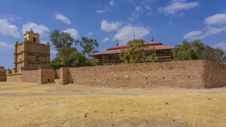
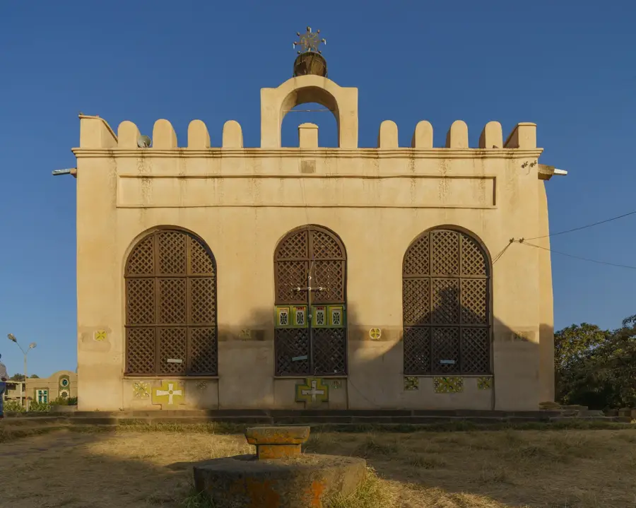
History & landmarks
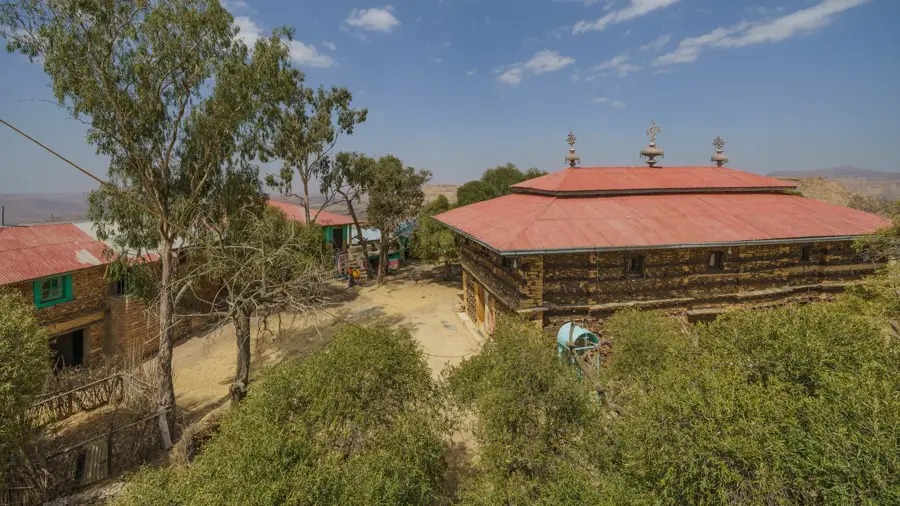

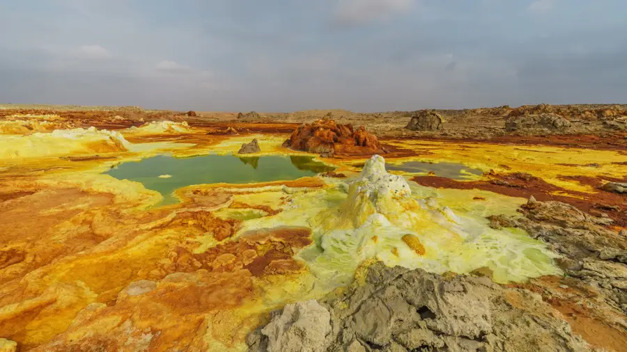
Nature
More places