Plizio Visual Lab
Evinayong

ℹ️Practical info — Evinayong
▾
🌤 Weather — 5 days
📍 Nearby
Sights nearby
💡 Tips
- Due to the high altitude, the climate is noticeably cooler and wetter than the coast; pack waterproof layers.
- Expect numerous military checkpoints on the roads leading up to the highlands; always carry your passport and visa documents.
- Photography of government buildings or military presence is strictly prohibited and heavily enforced.
- Try to time your arrival during daylight, as the winding forest roads lack lighting and can be treacherous at night.
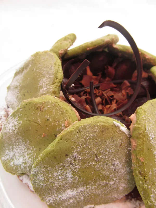
🍽 Food
Local eateries (comedores) often serve traditional dishes; ensure it's a commonly consumed species like porcupine or antelope.
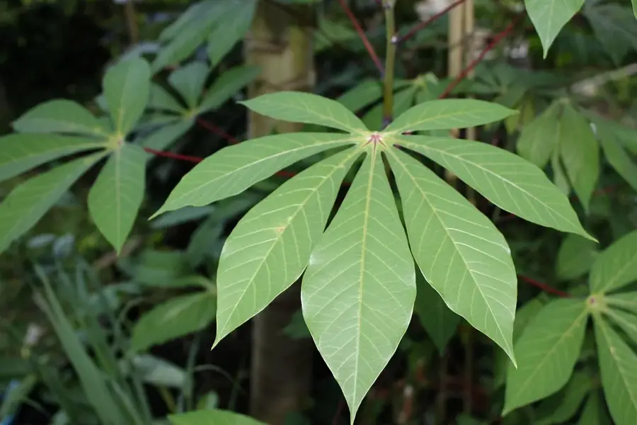
A staple starch in the highlands, usually boiled or pounded alongside rich peanut or palm oil sauces.
🛍 Shopping · 🧘 Quiet spots
Look for locally grown robusta coffee from the surrounding highland plantations in the local markets.
While the park entrance is further away, the surrounding lush hills of Evinayong offer silent, misty nature walks.
Take a stroll to the edges of the town for spectacular, quiet views of the surrounding equatorial rainforest canopy.
Water temperature…
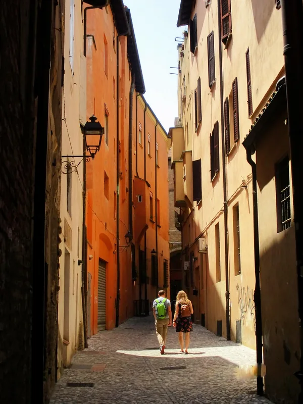
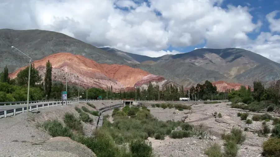
Evinayong is a historically significant and scenic highland city serving as the capital of the Centro Sur province in Equatorial Guinea. Perched on a plateau within the Niefang mountain range at an elevation of approximately 630 meters, the city enjoys a markedly cooler and more temperate climate than the humid coastal regions. This environmental advantage made it a preferred administrative center during the Spanish colonial period, an era that left behind a distinct architectural legacy visible in the town’s layout and public buildings. Today, Evinayong functions as a vital hub for the interior of Rio Muni, providing administrative, educational, and healthcare services to the surrounding rural districts. The city is famously known as the gateway to the Monte Alén National Park, one of Africa's most biodiverse protected areas, situated just a short distance away. Historically, Evinayong gained notoriety for its high-security prison, which has played a significant role in the country's political history. The local economy is grounded in agriculture, with the fertile volcanic soils of the region supporting the cultivation of staples such as cassava, plantains, and bananas, as well as cash crops like coffee. Recent infrastructure developments, particularly the paving of major highways, have ended the city's historical isolation, connecting it seamlessly with Bata and the newer urban centers. The population is predominantly Fang, and the city remains a center for traditional arts, including sculpture and oral storytelling. Educational institutions in Evinayong are central to the region’s development, hosting students from throughout the central province. For visitors, the city has a unique blend of colonial charm and wide-open natural scenery, characterized by rolling hills and dense tropical forests that often disappear into the mist. Evinayong’s enduring role as a provincial capital underscores its importance in the administrative and cultural fabric of Equatorial Guinea.
- Location: Equatorial Guinea
- Nearby: Bicurga (18 km)
- Population: ~8.462 (2012)
Best time to visit & climate
The most pleasant time to visit is Jun–Aug.
| Jan | Feb | Mar | Apr | May | Jun | Jul | Aug | Sep | Oct | Nov | Dec | |
|---|---|---|---|---|---|---|---|---|---|---|---|---|
| Avg °C | 24 | 24 | 24 | 24 | 24 | 23 | 22 | 22 | 23 | 23 | 23 | 23 |
| Rain mm | 110 | 122 | 228 | 214 | 183 | 89 | 38 | 61 | 160 | 332 | 299 | 145 |
Geography
Facts
- Provincial capital of Centro Sur, located in the highlands.
- Elevation: ~630 meters (2,067 feet) above sea level.
- Coordinates: 1.4461° N, 10.5514° E.
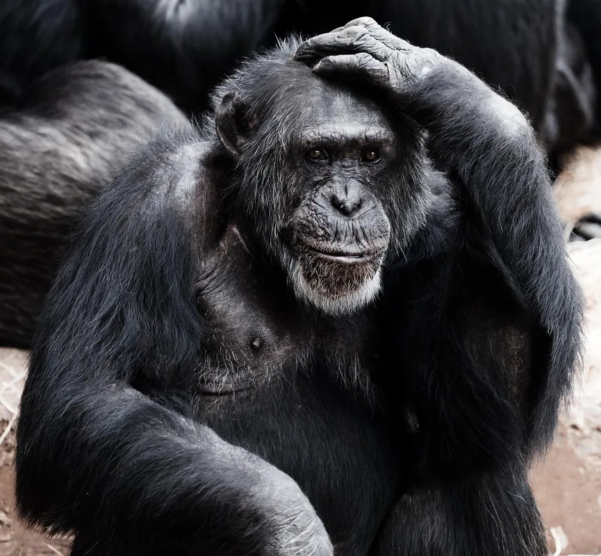
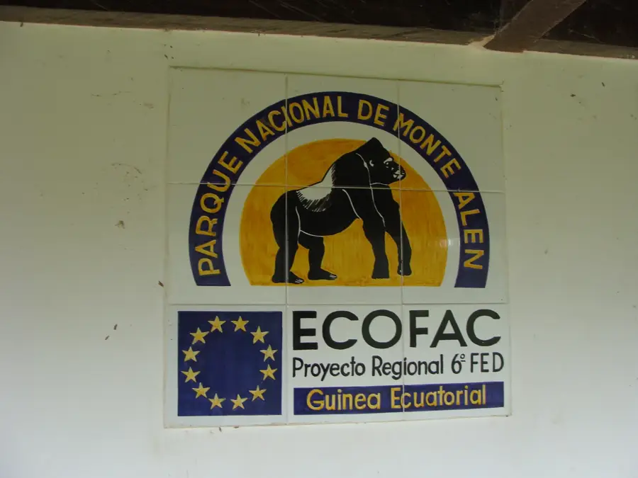
- Proximity to Monte Alén National Park enhances its eco-tourism potential.
- Historically an administrative stronghold for the mainland.
- Known for its colonial-era buildings and structured streets.
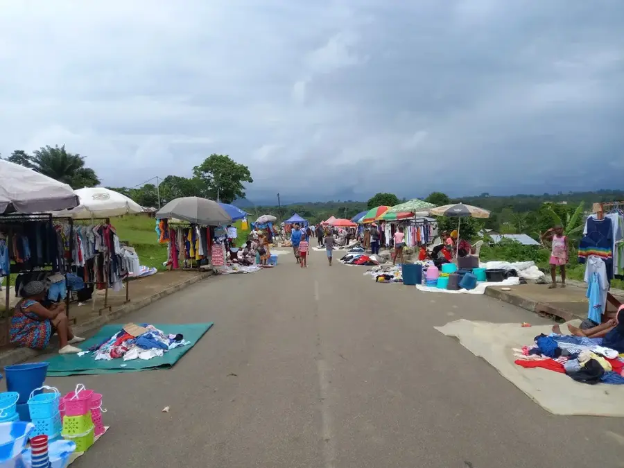
- Primary economic activity is small-scale agriculture and trade.
- Serves as a regional logistical center for the interior plateau.
Explore nearby
Notable places around
Route planner — Car & Motorhome
Where do you start? We build the route here, with stops and country notes along the way.
© OpenStreetMap contributors · OpenRouteService
Frequently asked questions
Where exactly is Evinayong located?
What is special about the climate in Evinayong?
Are there natural attractions nearby?
What is the atmosphere in the city?
How do you reach Evinayong?
Evinayong: where is it located?
Evinayong: when is the best time to visit?
Evinayong: why is it worth visiting?

Nearby cities
Nature
More places