Plizio Visual Lab
Cerro Plateado
Weather…
Water temperature…
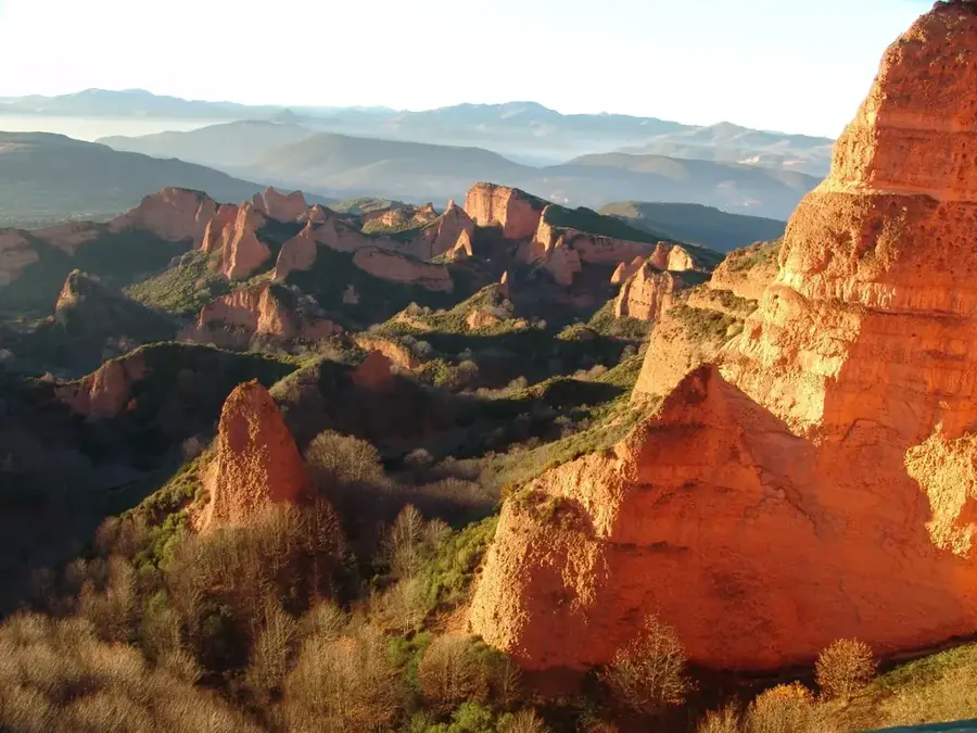
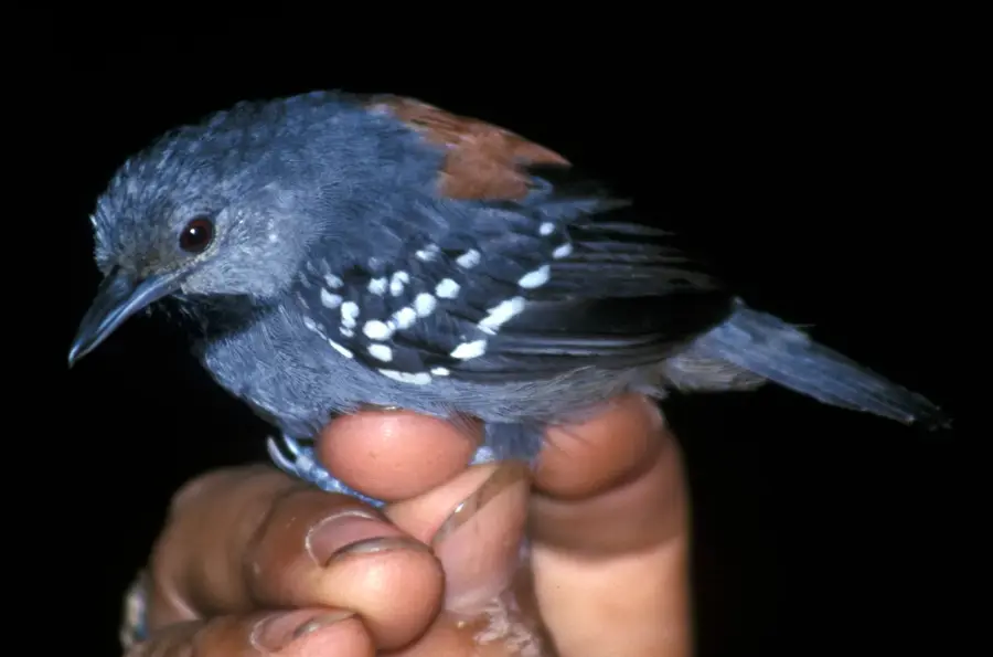
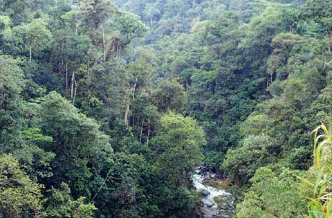
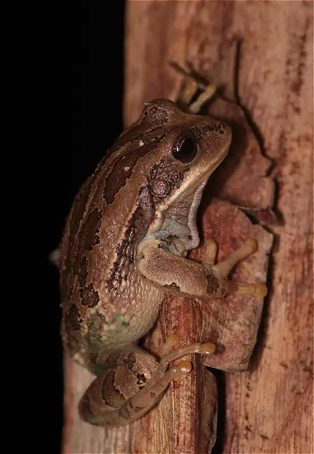
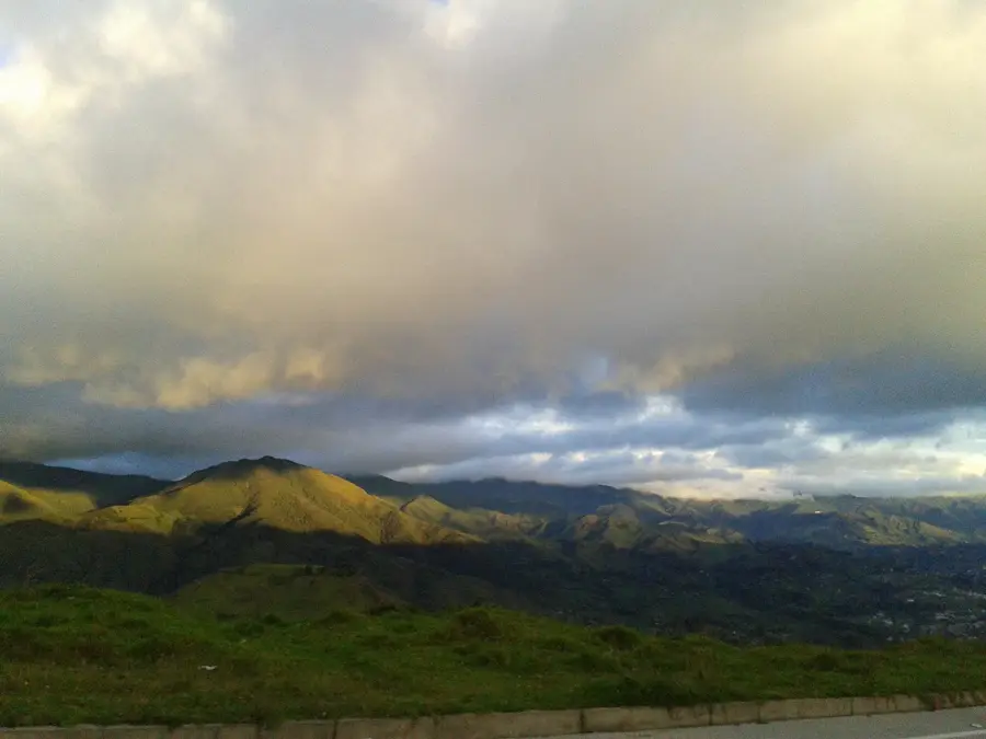
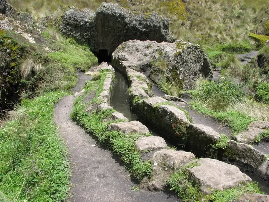
Cerro Plateado, at 2,911 meters, is the highest peak in the Cordillera del Cóndor in southeastern Ecuador, within the Zamora Chinchipe province. This remote border range with Peru is known for its unique 'tepui'-like sandstone plateaus, which have allowed for the isolated evolution of flora and fauna. The name 'Plateado' (silvery) derives from the reflective granite and sandstone formations on its flanks. The region was inaccessible for a long time due to border disputes, which contributed to the preservation of its pristine wilderness. The area hosts an extraordinary concentration of endemic plant species adapted to nutrient-poor soils. Today, the mountain is part of the Yacuri National Park and serves as a vital watershed for the region. Scientific expeditions regularly discover new species here, highlighting the global importance of this ecosystem. Climbing Cerro Plateado is considered one of the most demanding challenges for mountaineers in Ecuador due to the difficult terrain and humid climate.
- Location: Ecuador
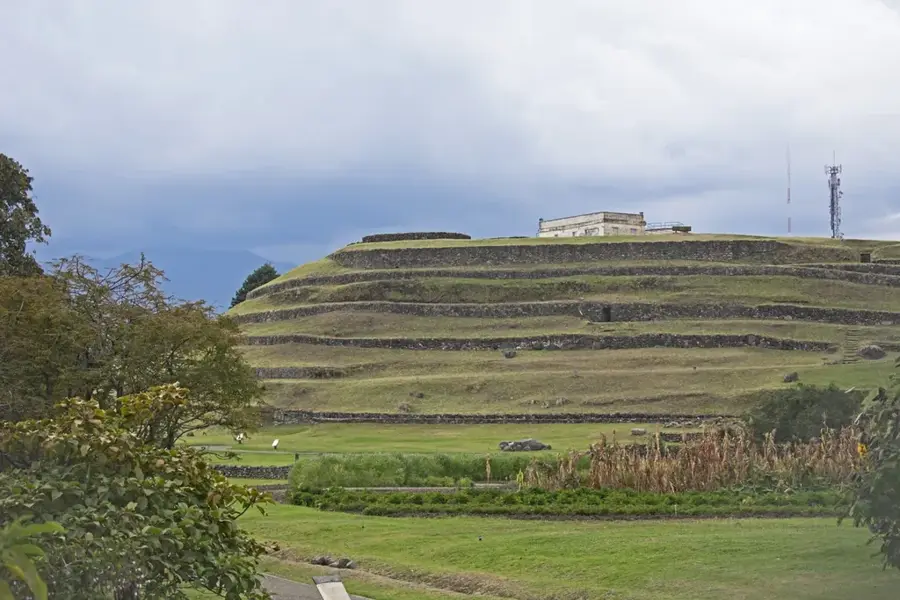
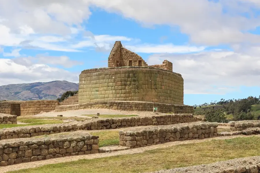
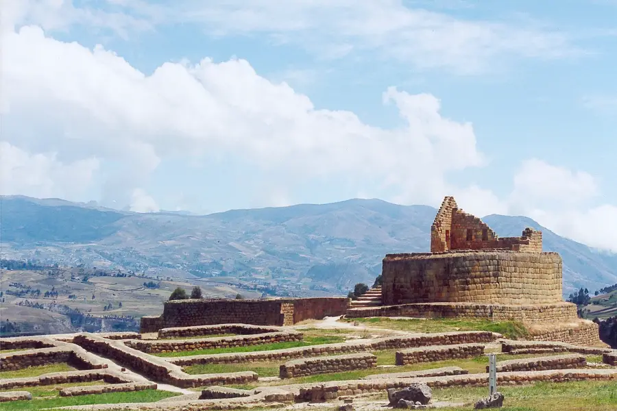
- Top sights: Alto Nangaritza · Reserva Biológica Cerro Plateado
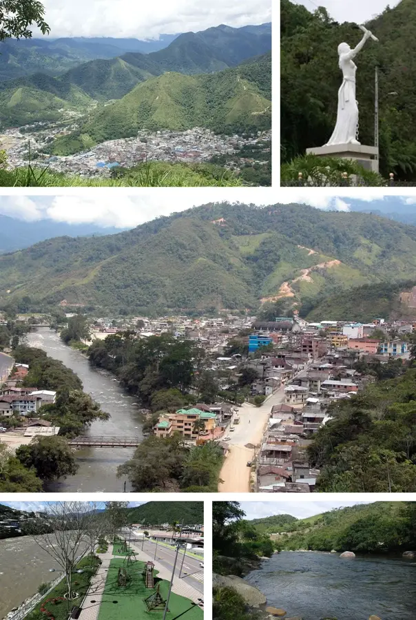
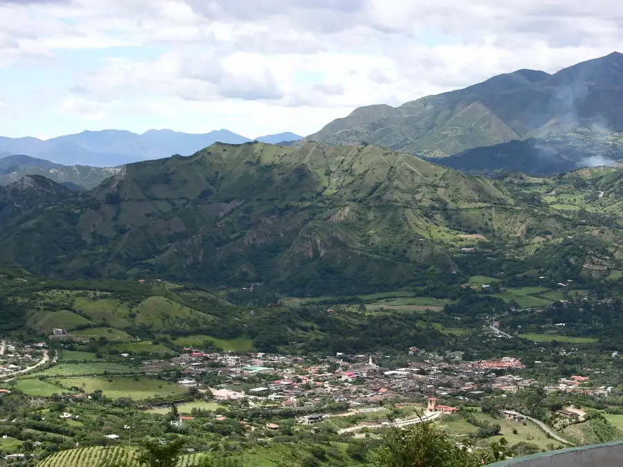
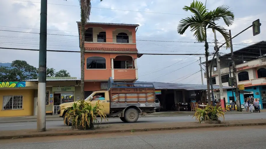
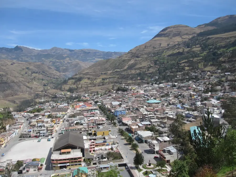
- Nearby: Gualaquiza (34 km)
Best time to visit & climate
The most pleasant time to visit is Aug–Oct.
| Jan | Feb | Mar | Apr | May | Jun | Jul | Aug | Sep | Oct | Nov | Dec | |
|---|---|---|---|---|---|---|---|---|---|---|---|---|
| Avg °C | 20 | 20 | 20 | 19 | 19 | 18 | 18 | 19 | 20 | 21 | 21 | 20 |
| Rain mm | 72 | 102 | 98 | 77 | 51 | 47 | 38 | 29 | 29 | 59 | 68 | 72 |
📋 Practical info
Geography
Facts
- The peak reaches an exact elevation of 2,911 meters above sea level.
- It is located in the Nangaritza canton of the Zamora Chinchipe province.
- The range is geologically much older than the main Andean chain.
- The area is home to rare species such as the spectacled bear and the jaguar.
- The plateaus are often shrouded in dense fog, favoring cloud forest growth.
- Scientific exploration only began in earnest after the 1998 peace treaty.
Explore nearby
Notable places around
Route planner — Car & Motorhome
Where do you start? We build the route here, with stops and country notes along the way.
© OpenStreetMap contributors · OpenRouteService
Sights in the town Cerro Plateado (2)
Sights nearby
Frequently asked questions
Where is Cerro Plateado located?
How high is the mountain?
Is access easy?
What makes nature there unique?
Is a permit required?
Cerro Plateado: where is it located?
Cerro Plateado: what is there to see?
Cerro Plateado: when is the best time to visit?
Cerro Plateado: why is it worth visiting?

Nearby cities
History & landmarks

More places