Plizio Visual Lab
Bab-el-Mandeb
Weather…
Water temperature…
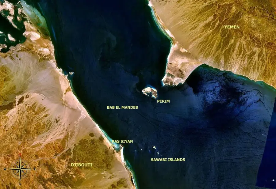
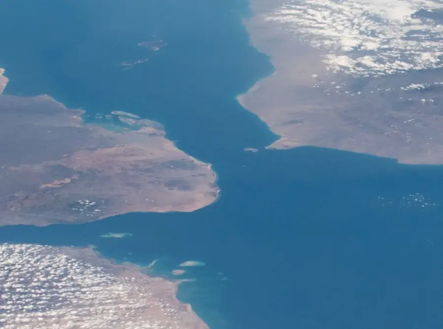
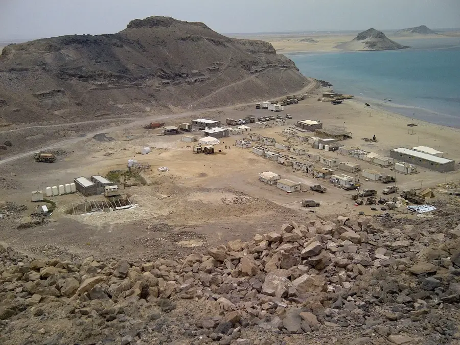
The Bab-el-Mandeb, meaning 'Gate of Tears' in Arabic, is a strategic strait connecting the Red Sea to the Gulf of Aden and the Indian Ocean. Spanning approximately 30 kilometers at its narrowest point between Djibouti and Yemen, it is divided into two channels by the island of Perim. The western channel, known as Bab Iskender, is roughly 3 kilometers wide, while the eastern channel serves as the primary route for international shipping. Geologically, the strait is a product of the tectonic separation of the African and Arabian plates, a process that continues to this day. Historically, it has been one of the most vital maritime passages in the world, facilitating trade between the Mediterranean and Asia for millennia. Today, it remains a critical chokepoint for global energy supplies, with millions of barrels of oil passing through its waters daily.
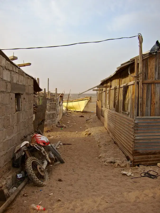
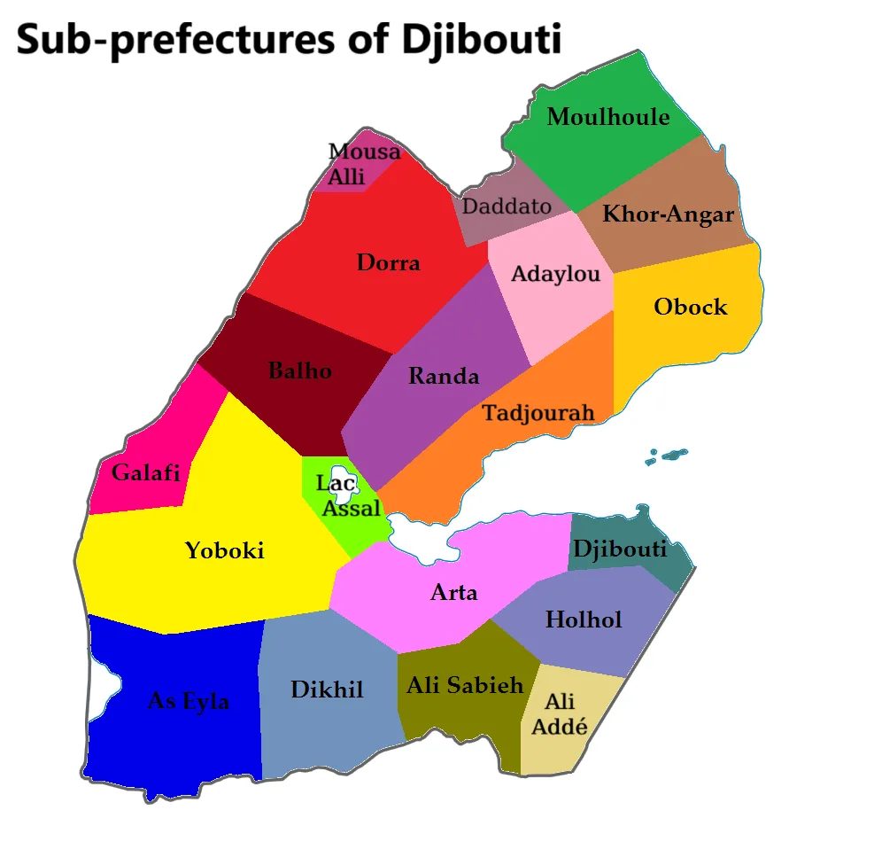
- Location: Djibouti
- Nearby: Moulhoule (6 km)
Best time to visit & climate
The most pleasant time to visit is Jan, Feb, Dec.
| Jan | Feb | Mar | Apr | May | Jun | Jul | Aug | Sep | Oct | Nov | Dec | |
|---|---|---|---|---|---|---|---|---|---|---|---|---|
| Avg °C | 25 | 25 | 27 | 29 | 31 | 33 | 33 | 32 | 32 | 30 | 27 | 26 |
| Rain mm | 2 | 3 | 6 | 27 | 21 | 17 | 21 | 30 | 36 | 16 | 4 | 7 |
📋 Practical info
Geography
Facts
- The strait is approximately 30 kilometers wide at its narrowest point.
- Perim Island divides the strait into the eastern and western channels.
- Roughly 10 to 20 percent of global trade passes through this waterway.
- The name 'Gate of Tears' refers to the navigational hazards of the area.
- Geologically, it is a key site of divergence between tectonic plates.
- Millions of barrels of oil pass through the strait every single day.
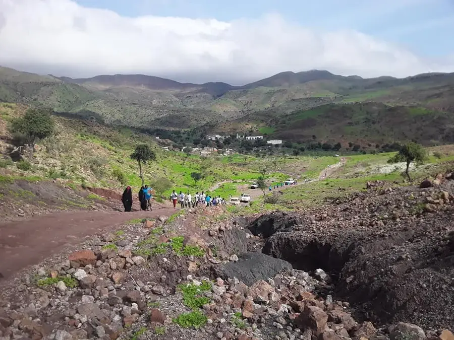
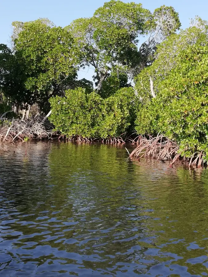
Explore nearby
Notable places around
Route planner — Car & Motorhome
Where do you start? We build the route here, with stops and country notes along the way.
© OpenStreetMap contributors · OpenRouteService
Sights in the town Bab-el-Mandeb (1)
Sights nearby
Frequently asked questions
What does the name Bab-el-Mandeb mean?
Where is this strait located?
Can you see Yemen from Djibouti?
Why is the strait strategically important?
Are there strong currents there?
Bab-el-Mandeb: where is it located?
Bab-el-Mandeb: when is the best time to visit?
Bab-el-Mandeb: why is it worth visiting?

Nearby cities
History & landmarks
More places