Plizio Visual Lab
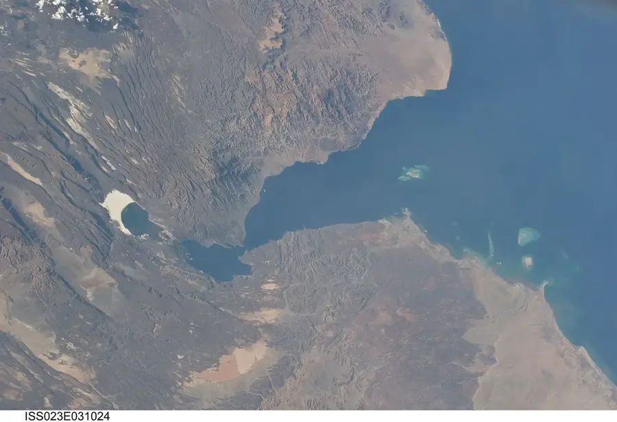
Ghoubbet-el-Kharab
Weather…
Water temperature…
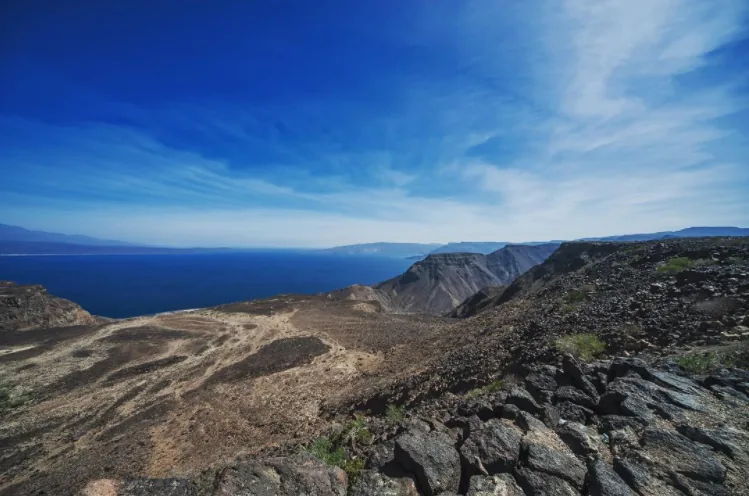
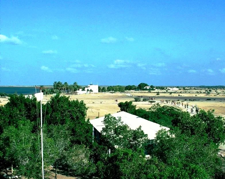
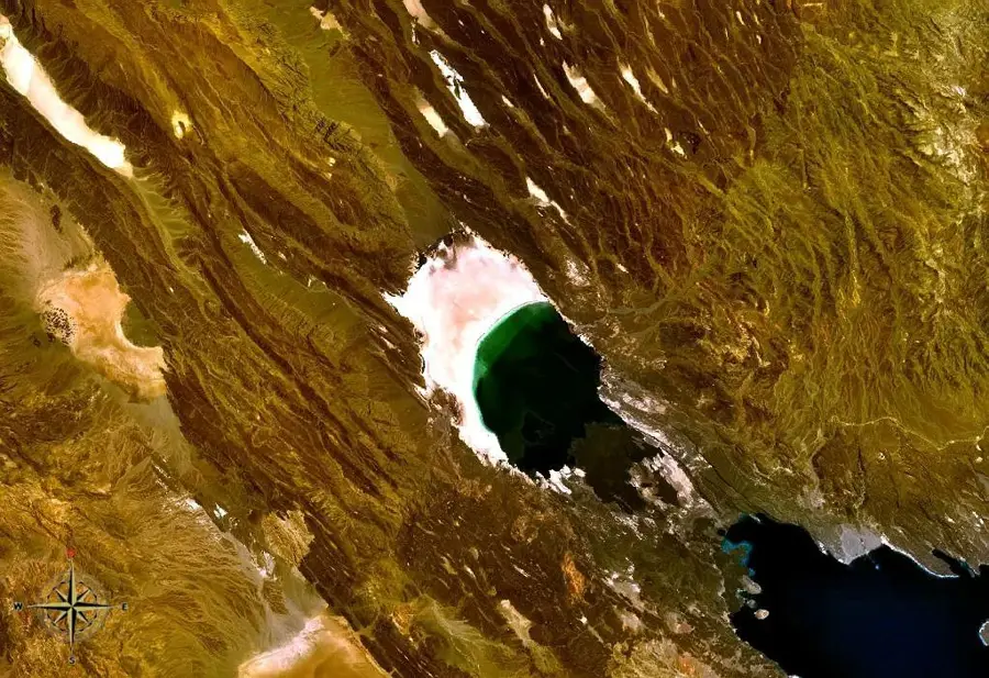
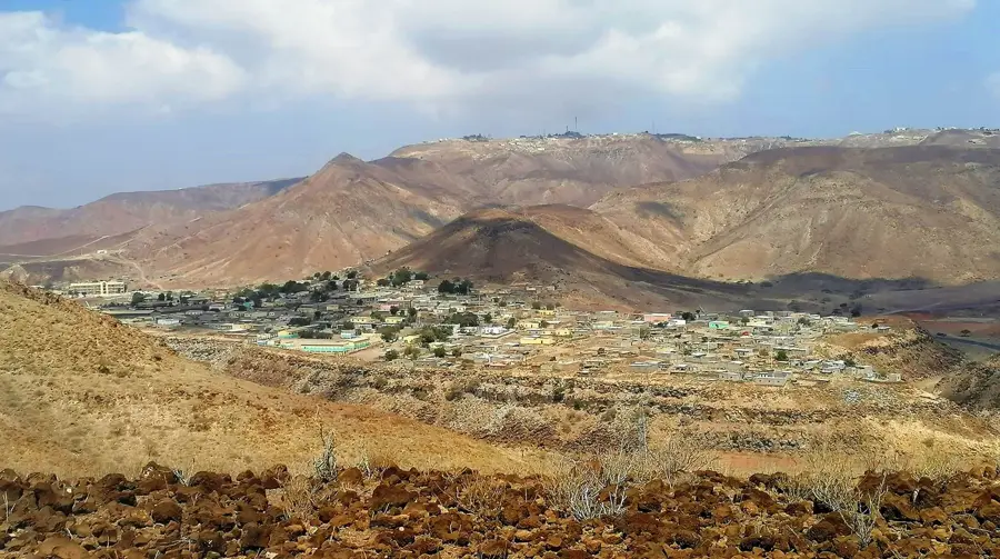
Ghoubbet-el-Kharab, also known as the 'Devil's Cauldron' or 'Neck of the Underworld', is a nearly landlocked volcanic cove at the western end of the Gulf of Tadjoura. It is separated from the main gulf by a narrow passage with treacherous currents and is surrounded by steep, black lava fields and dramatic cliffs. The cove is geologically fascinating, as it lies directly on the seam where the African and Arabian plates are drifting apart. In the center of the bay lie the Devil's Islands (Îles du Diable), two steep volcanic cones rising from the deep blue water. The underwater world of Ghoubbet is as spectacular as it is dangerous, featuring strong currents and a large population of whale sharks and manta rays during the winter months. The Ardoukoba volcano separates the cove from nearby Lake Assal, making the region one of the most geologically active places on Earth. For the local population, the site is steeped in legends and myths due to its violent tidal currents and somber landscape.
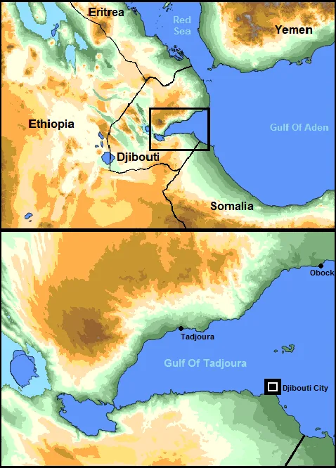
- Location: Djibouti
- Nearby: Karta (14 km)
Best time to visit & climate
The most pleasant time to visit is Jan, Feb, Dec.
| Jan | Feb | Mar | Apr | May | Jun | Jul | Aug | Sep | Oct | Nov | Dec | |
|---|---|---|---|---|---|---|---|---|---|---|---|---|
| Avg °C | 23 | 24 | 26 | 28 | 31 | 34 | 34 | 33 | 32 | 28 | 26 | 24 |
| Rain mm | 6 | 7 | 24 | 55 | 28 | 7 | 33 | 50 | 39 | 20 | 10 | 14 |
📋 Practical info
Geography
Facts
- The cove is separated from Lake Assal by the Ardoukoba volcano.
- Two volcanic islands known as the 'Devil's Islands' are located in the center of the bay.
- Currents in the narrow entrance to the cove can be extremely powerful.
- Ghoubbet-el-Kharab is a significant gathering site for whale sharks.
- The water depth in the bay reaches over 200 meters in some areas.
- The surrounding lava fields were formed by tectonic rifting millions of years ago.
Explore nearby
Notable places around
Route planner — Car & Motorhome
Where do you start? We build the route here, with stops and country notes along the way.
© OpenStreetMap contributors · OpenRouteService
Sights in the town Ghoubbet-el-Kharab (1)
Sights nearby
Frequently asked questions
What does the name Ghoubbet-el-Kharab mean?
What is the geological significance of the bay?
Are there sharks in the bay?
Can you visit Devil's Island in the bay?
How deep is the water here?
Ghoubbet-el-Kharab: where is it located?
Ghoubbet-el-Kharab: when is the best time to visit?
Ghoubbet-el-Kharab: why is it worth visiting?

Nearby cities


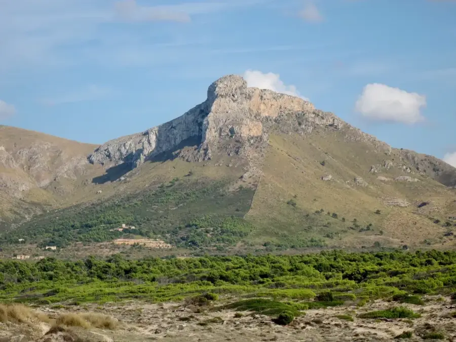
Nature
More places