Plizio Visual Lab
Kwilu River

Weather…
Water temperature…
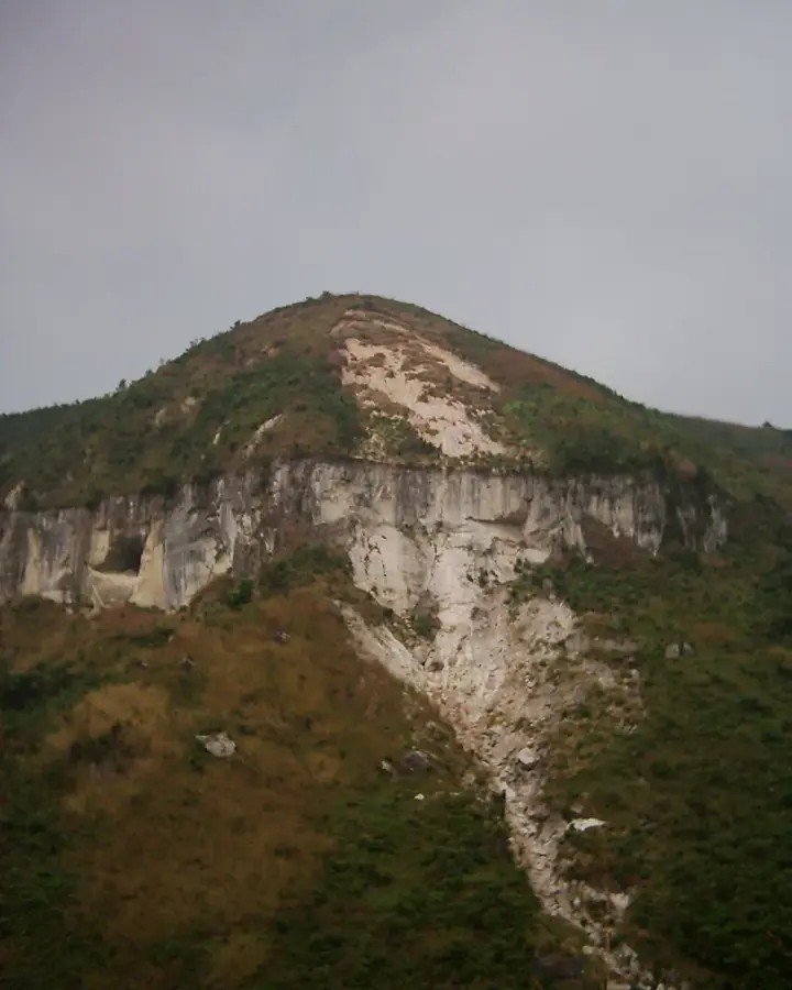
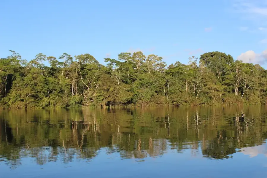
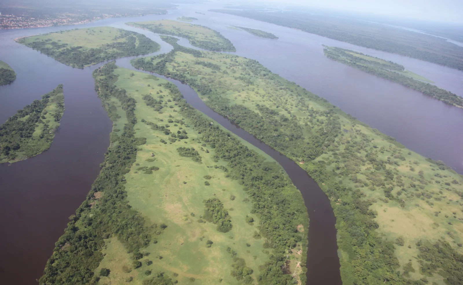
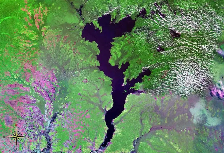
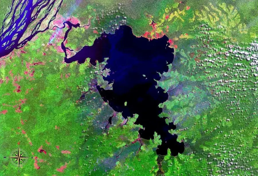
The Kwilu River is a major tributary of the Kwango River in the southwestern Democratic Republic of the Congo, flowing through the province of the same name. Stretching approximately 960 kilometers, it originates in Angola and flows northward through fertile plateaus and gallery forests. The river is the primary waterway serving the city of Kikwit, a critical regional commercial hub that depends on fluvial transport. The Kwilu basin is well-known for its intensive palm oil production, which serves as the backbone of the local economy. Historically, the region was a hotbed for significant political movements during the Congo's struggle for independence in the 1960s. Geographically, the Kwilu is navigable as far as Kikwit, making it an essential link for moving goods toward the main Congo River network. The riparian vegetation is a mix of agricultural land and natural forest remnants that host small populations of hippopotamuses. Despite environmental changes due to human activity, the Kwilu remains a vital ecological corridor. The river is central to the identity and economic life of the western Congo region.
Best time to visit & climate
The most pleasant time to visit is Jun–Aug.
| Jan | Feb | Mar | Apr | May | Jun | Jul | Aug | Sep | Oct | Nov | Dec | |
|---|---|---|---|---|---|---|---|---|---|---|---|---|
| Avg °C | 26 | 27 | 27 | 26 | 26 | 26 | 27 | 28 | 27 | 26 | 25 | 26 |
| Rain mm | 121 | 130 | 173 | 167 | 100 | 17 | 7 | 36 | 89 | 166 | 191 | 159 |
📋 Practical info
Geography
Facts
- Total length of approximately 960 kilometers
- Most significant tributary of the Kwango River
- Originates within the borders of Angola
- Navigable up to the city of Kikwit
- Hub for palm oil production in western Congo
- Site of major political movements in the 1960s
Explore nearby
Notable places around
Route planner — Car & Motorhome
Where do you start? We build the route here, with stops and country notes along the way.
© OpenStreetMap contributors · OpenRouteService
Sights nearby
Frequently asked questions
Where is the Kwilu located?
Which city lies on the Kwilu?
Is the river navigable?
What is the main economic driver?
Are there dangers?
Kwilu River: where is it located?
Kwilu River: when is the best time to visit?
Kwilu River: why is it worth visiting?

Nature

More places