Plizio Visual Lab
Congo Basin Lowland Forest
Weather…
Water temperature…
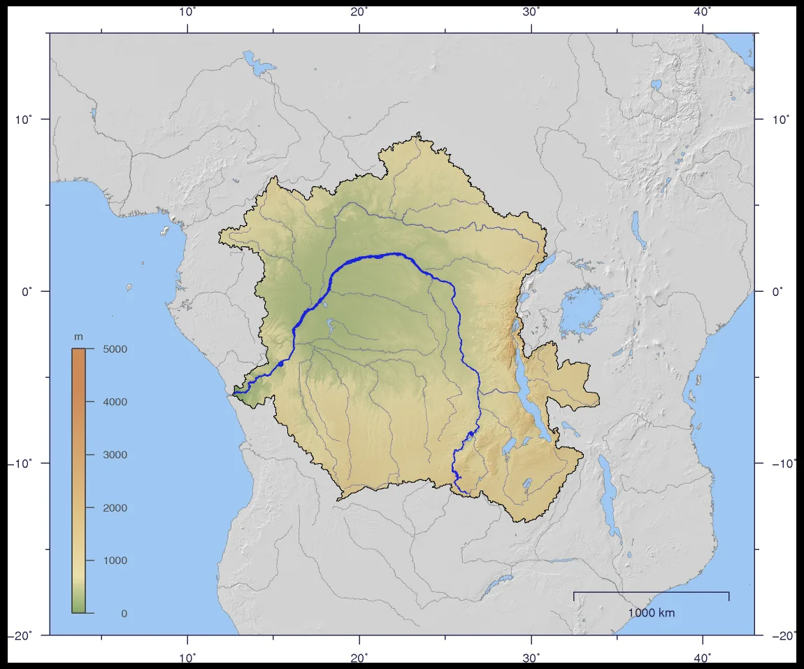
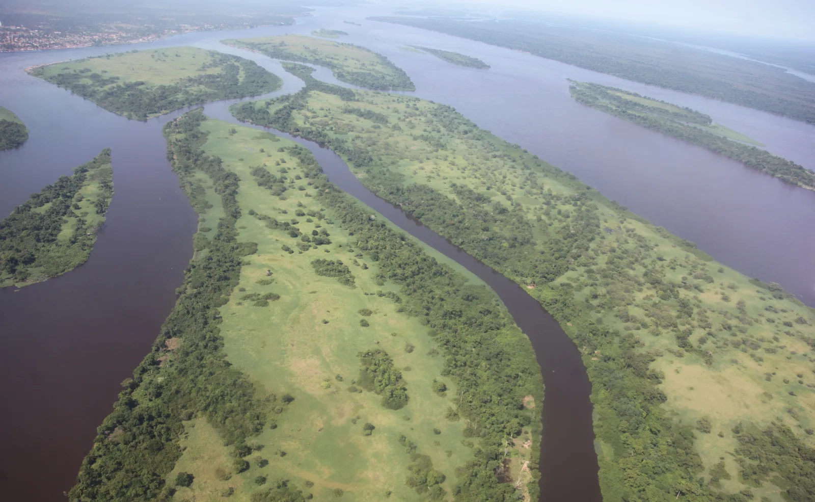
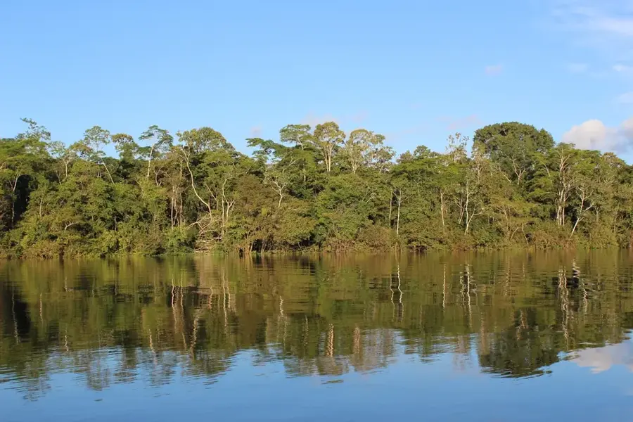
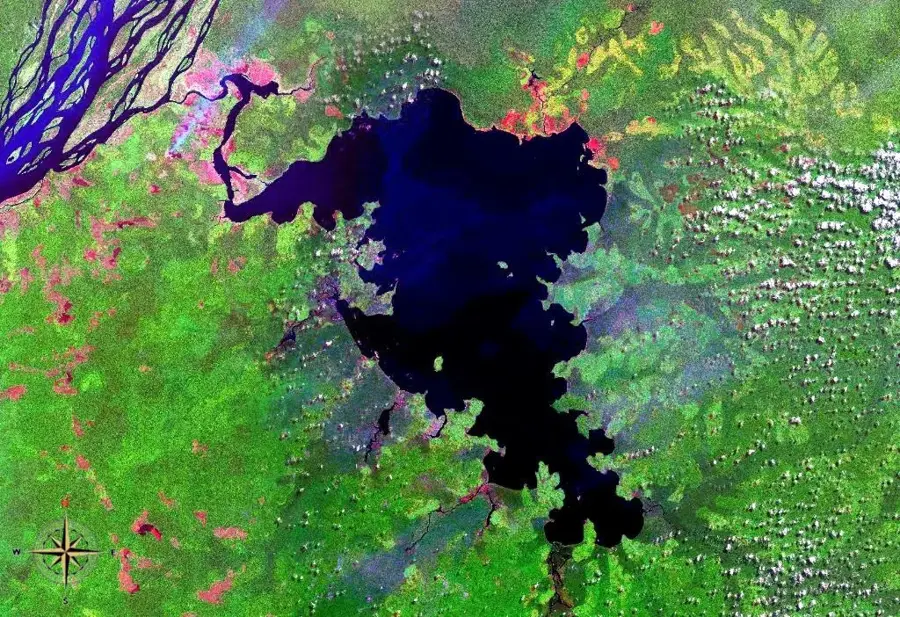
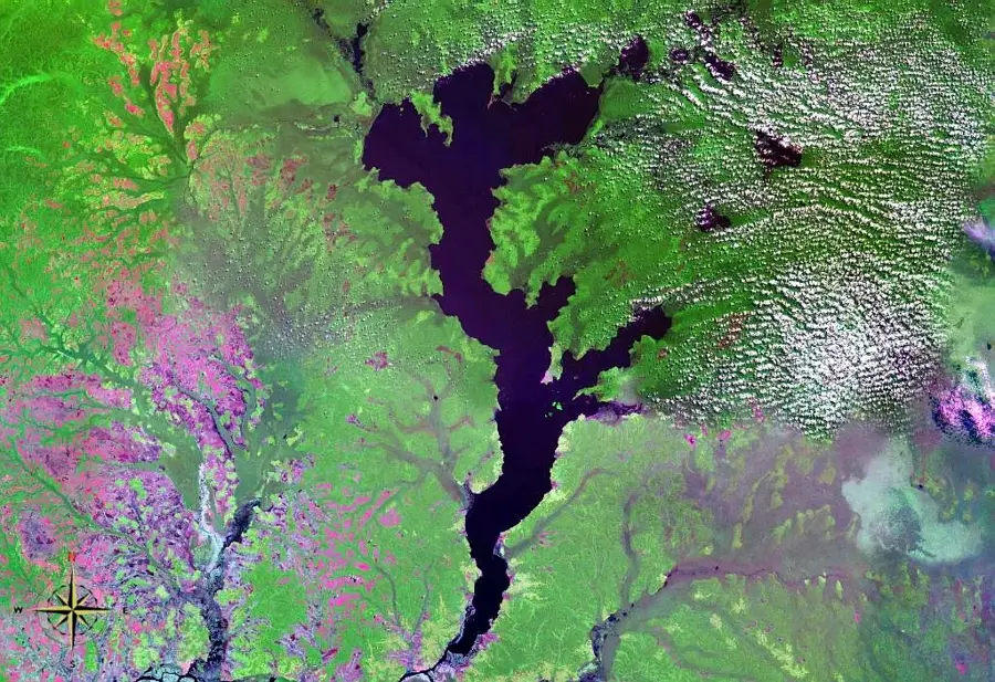
The Congo Basin Lowland Forest represents the second-largest tropical rainforest on Earth, spanning approximately 1.8 million square kilometers across six Central African nations. This vast ecosystem plays a critical role in global climate regulation, acting as a massive carbon sink that sequesters billions of tons of carbon dioxide. The region is characterized by an extraordinary level of biodiversity, harboring over 10,000 species of tropical plants and providing a sanctuary for endangered wildlife such as lowland gorillas, forest elephants, and bonobos. Hydrologically, the forest is defined by the Congo River system, the world's deepest river, reaching depths of up to 220 meters. Despite its environmental importance, the basin faces increasing threats from industrial logging, agricultural expansion, and mining activities. Conservation efforts are currently focused on sustainable management and the protection of vast national parks to preserve this unique biological heritage for future generations. The forest also supports millions of people who depend on its natural resources for their traditional livelihoods and cultural identity.
Best time to visit & climate
The most pleasant time to visit is Jan, Jul, Dec.
| Jan | Feb | Mar | Apr | May | Jun | Jul | Aug | Sep | Oct | Nov | Dec | |
|---|---|---|---|---|---|---|---|---|---|---|---|---|
| Avg °C | 26 | 26 | 26 | 26 | 26 | 25 | 25 | 25 | 25 | 25 | 25 | 25 |
| Rain mm | 86 | 139 | 161 | 146 | 162 | 142 | 136 | 147 | 189 | 207 | 196 | 127 |
📋 Practical info
Geography
Facts
- Area of approx. 1.8 million km² across six countries.
- Home to over 10,000 different species of tropical plants.
- Crucial habitat for forest elephants and lowland gorillas.
- The Congo River reaches depths of up to 220 meters here.
- Stores an estimated 25 to 30 billion tons of carbon.
- Over 75 million people live within the Congo Basin area.
Explore nearby
Notable places around
Route planner — Car & Motorhome
Where do you start? We build the route here, with stops and country notes along the way.
© OpenStreetMap contributors · OpenRouteService
Sights nearby
Frequently asked questions
What is the Congo Basin rainforest?
What rare animals live here?
Is the rainforest endangered?
How do you get into the rainforest?
When is the best time to travel?
Congo Basin Lowland Forest: where is it located?
Congo Basin Lowland Forest: when is the best time to visit?
Congo Basin Lowland Forest: why is it worth visiting?

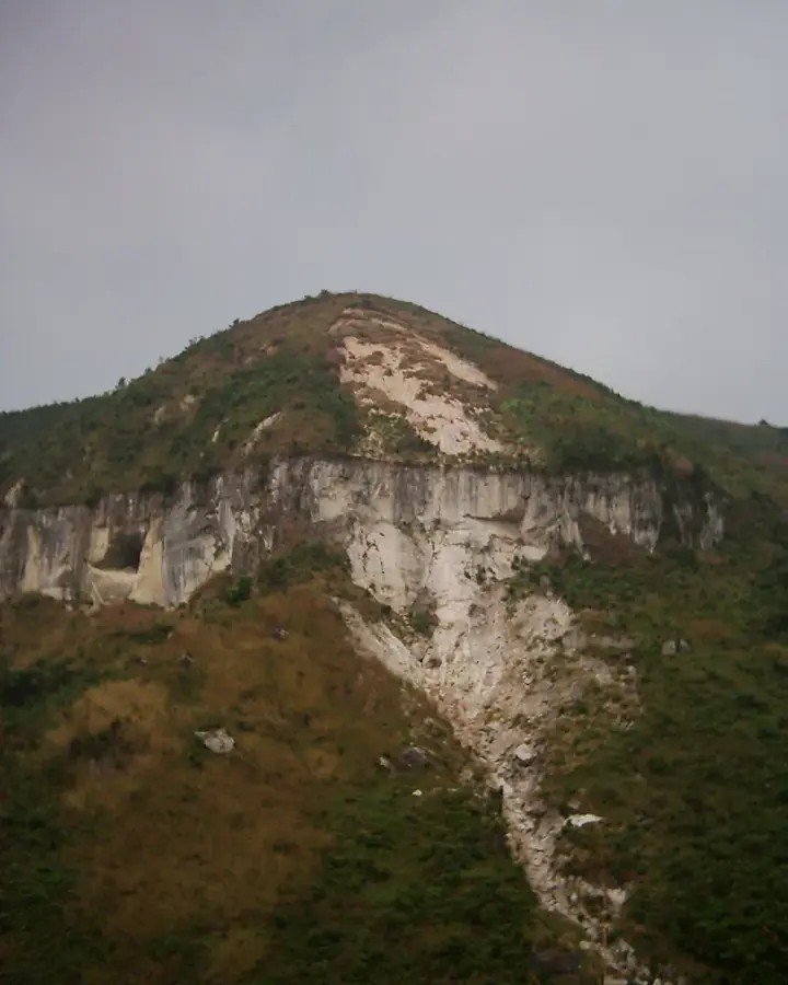
Nature


More places