Plizio Visual Lab
Kwango River

Weather…
Water temperature…
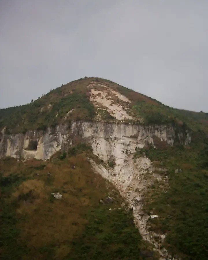
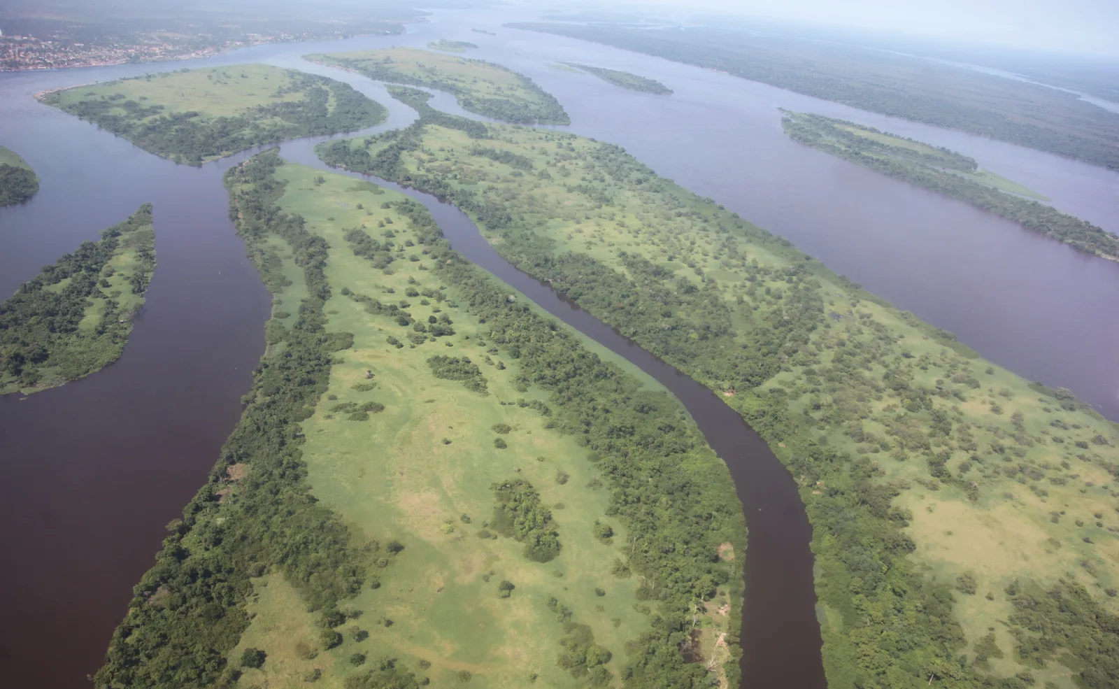
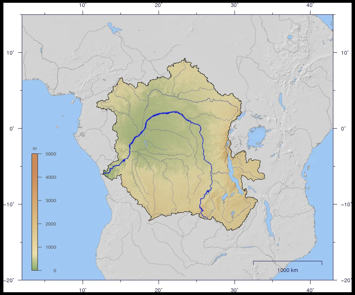
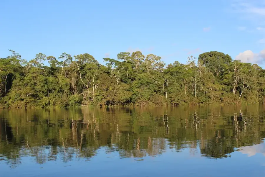
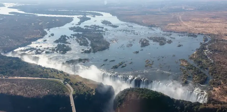
The Kwango River is a major transboundary river that originates in the central highlands of Angola and flows northward to join the Kasai River. Stretching over 1,100 kilometers, it forms a significant portion of the international border between Angola and the Democratic Republic of the Congo. The river is globally renowned for its rich secondary diamond deposits, which have shaped the regional economy for decades. Geographically, the Kwango features several spectacular waterfalls, such as the Tembo Falls, which hinder continuous navigation along much of its course. Its basin is characterized by a mosaic of savannahs and gallery forests, hosting a wide variety of wildlife. Historically, the Kwango area was the center of the Kingdom of Kasanje, a powerful state involved in transatlantic trade during the 17th and 18th centuries. Today, the river remains a lifeline for local communities who depend on fishing and artisanal mining. The shared management of its resources continues to be a point of political and environmental focus for both nations. The Kwango is thus a site of immense economic, historical, and natural significance.
Best time to visit & climate
The most pleasant time to visit is Jun–Aug.
| Jan | Feb | Mar | Apr | May | Jun | Jul | Aug | Sep | Oct | Nov | Dec | |
|---|---|---|---|---|---|---|---|---|---|---|---|---|
| Avg °C | 26 | 26 | 26 | 26 | 26 | 26 | 26 | 27 | 27 | 26 | 25 | 25 |
| Rain mm | 138 | 147 | 175 | 166 | 103 | 26 | 12 | 35 | 99 | 167 | 200 | 179 |
📋 Practical info
Geography
Facts
- Total length of approximately 1,100 kilometers
- Originates in the central highlands of Angola
- Forms the border between Angola and the DRC
- Famous for its extensive alluvial diamond deposits
- Features the dramatic Tembo Falls
- Discharges into the Kasai River, a tributary of the Congo
Explore nearby
Notable places around
Route planner — Car & Motorhome
Where do you start? We build the route here, with stops and country notes along the way.
© OpenStreetMap contributors · OpenRouteService
Sights nearby
Frequently asked questions
Where does the Kwango rise?
Are there diamonds in the river?
Is the river a border?
Are there waterfalls on the Kwango?
How is the best way to travel there?
Kwango River: where is it located?
Kwango River: when is the best time to visit?
Kwango River: why is it worth visiting?

Nature

More places