Plizio Visual Lab
Fimi River
Weather…
Water temperature…
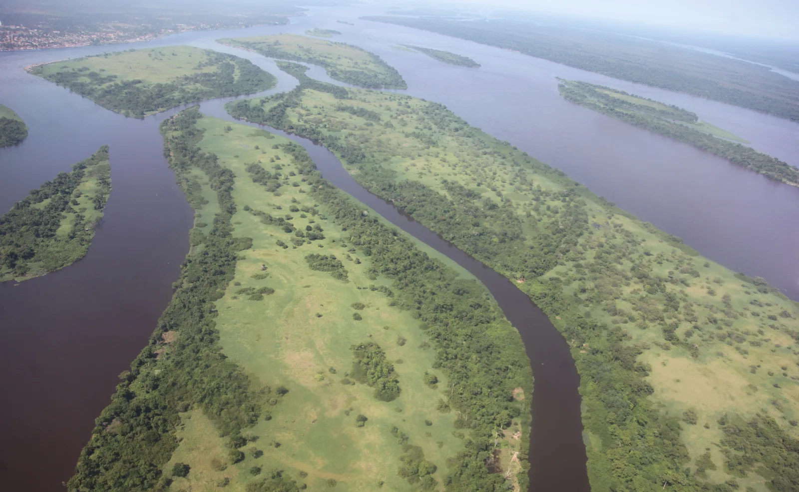
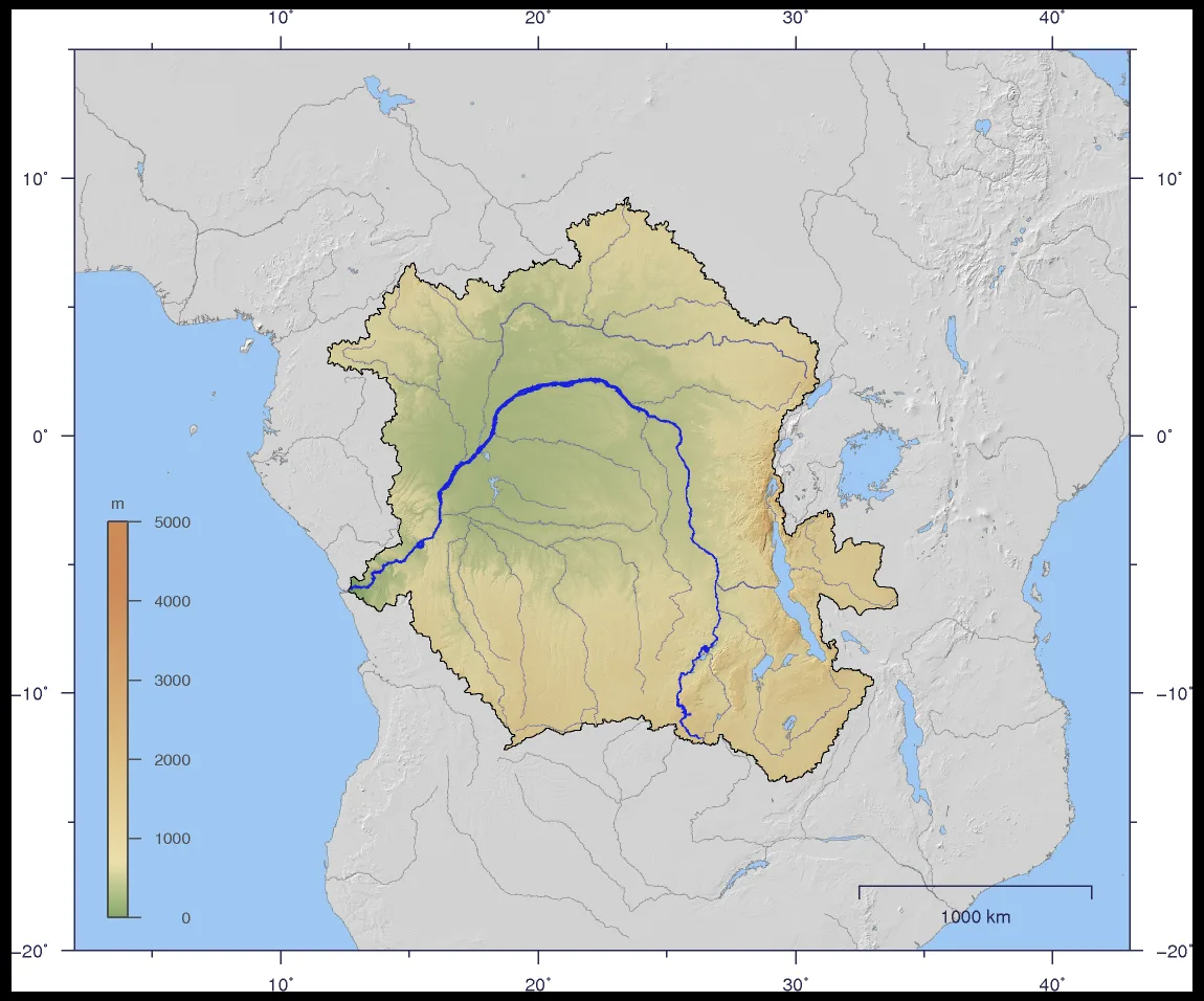
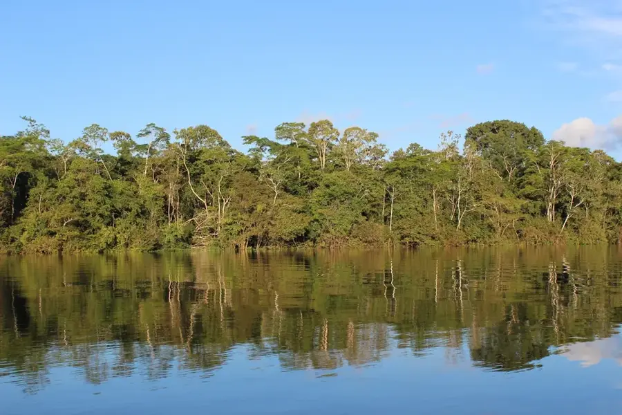
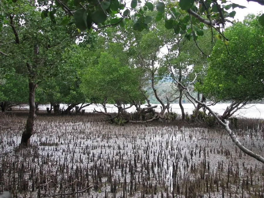
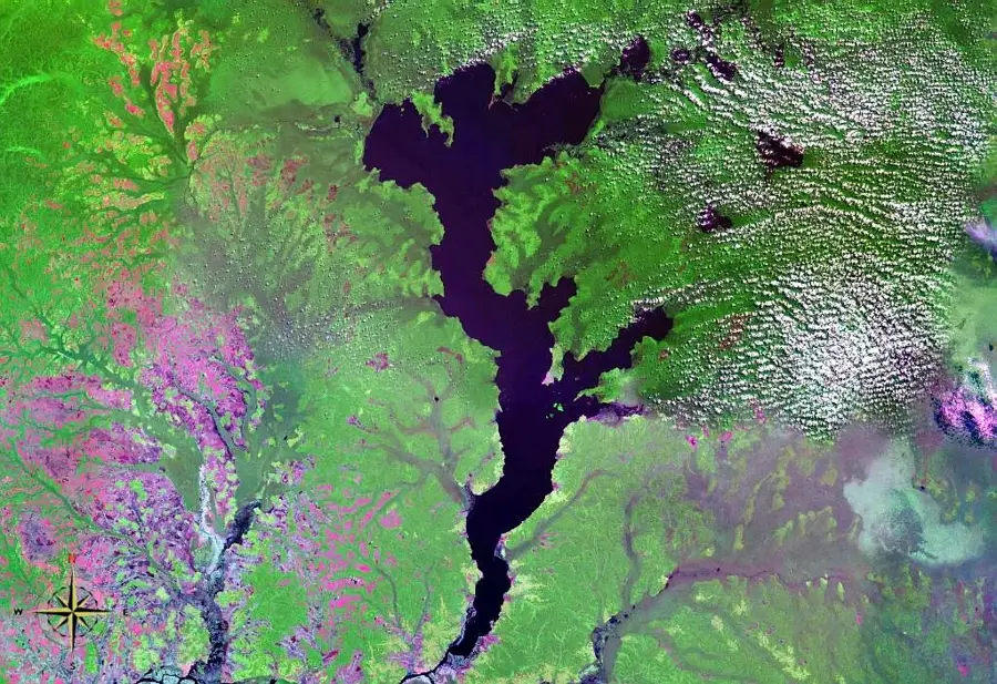
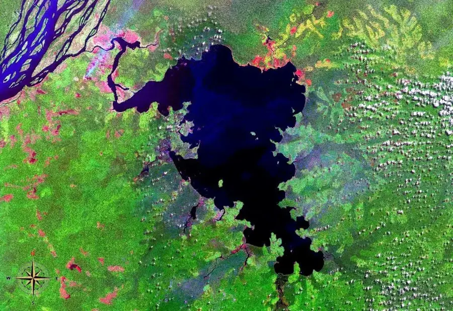
The Fimi River is a river in the Democratic Republic of Congo that forms an essential link in the central Congo Basin. It flows out of Lake Mai-Ndombe and runs west for a distance of about 200 kilometers before joining the Kasai River at Mushie. Shortly before its confluence, the Fimi receives the waters of the Lukenie River; from this point onwards, the combined river is sometimes referred to as the Kwa River. The Fimi is characterized by a slow, meandering course through swampy, densely forested terrain. This ecosystem is rich in biodiversity, including numerous fish species that are a vital source of food and income for local communities. The river serves as a crucial transportation route, connecting the Lake Mai-Ndombe region to the main Congo River system, enabling trade in agricultural products, fish, and other goods. The banks of the Fimi are sparsely populated, mainly by ethnic groups such as the Ntomba and Bolia, whose way of life is closely tied to the river and its seasonal fluctuations.
Best time to visit & climate
The most pleasant time to visit is Jun–Aug.
| Jan | Feb | Mar | Apr | May | Jun | Jul | Aug | Sep | Oct | Nov | Dec | |
|---|---|---|---|---|---|---|---|---|---|---|---|---|
| Avg °C | 26 | 26 | 26 | 26 | 26 | 27 | 27 | 27 | 26 | 26 | 25 | 25 |
| Rain mm | 115 | 140 | 169 | 156 | 126 | 40 | 30 | 75 | 160 | 188 | 198 | 163 |
📋 Practical info
Geography
Facts
- The Fimi River is the outflow of Lake Mai-Ndombe.
- The length of the river is approximately 200 kilometers.
- It flows into the Kasai River near the town of Mushie.
- Shortly before its mouth, it joins with the Lukenie River.
- The average discharge at its mouth is approximately 1,900 m³/s.
- The river is navigable for smaller vessels throughout the year.
Explore nearby
Notable places around
Route planner — Car & Motorhome
Where do you start? We build the route here, with stops and country notes along the way.
© OpenStreetMap contributors · OpenRouteService
Sights nearby
Frequently asked questions
Where does the Fimi River originate?
Which river does the Fimi flow into?
Is the Fimi navigable?
Are there crocodiles in the Fimi?
What can be seen along the banks of the Fimi?
Fimi River: where is it located?
Fimi River: when is the best time to visit?
Fimi River: why is it worth visiting?

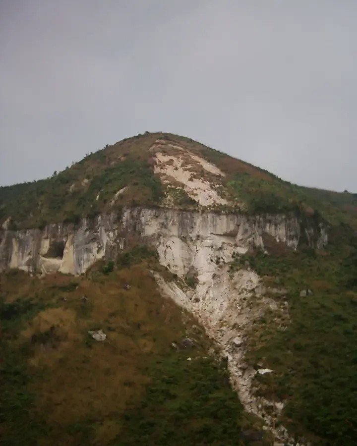
Nature

More places