Plizio Visual Lab
Tok

Weather…
Water temperature…
Tok is the highest peak of the Brdy Highlands, standing at an elevation of 863 meters in Central Bohemia. For decades, the mountain was part of a restricted military training area, which inadvertently preserved its pristine nature by shielding it from public access and development. It was only reopened to hikers and cyclists in 2016 following the dissolution of the military zone and the establishment of the Brdy Protected Landscape Area. Geologically, Tok is composed of Precambrian quartzites and conglomerates, forming a broad, plateau-like summit rather than a sharp peak. The landscape on the summit is distinctive, featuring vast heathlands, peat bogs, and sparse coniferous forests that give it a subarctic or Scandinavian appearance. Remnants of former artillery firing ranges can still be found near the summit, where craters have transformed into unique micro-habitats for rare aquatic plants. As one of the wettest spots in Central Bohemia, Tok serves as a vital hydrological catchment area, feeding numerous streams. On clear days, the summit plateau features panoramic views extending as far as the Bohemian Forest and the Ore Mountains.
- Location: Czech Republic
- Top sights: CHKO Brdy · lov. zámeček Tři Trubky · Houpák
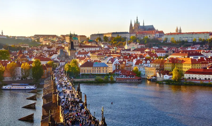
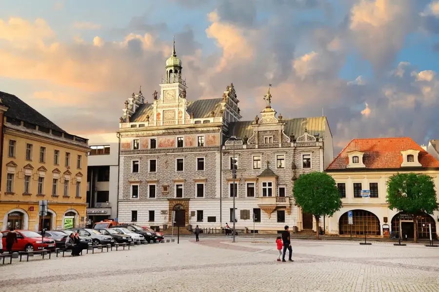
- Nearby: Příbram (12 km)
Best time to visit & climate
The most pleasant time to visit is Jun–Aug.
| Jan | Feb | Mar | Apr | May | Jun | Jul | Aug | Sep | Oct | Nov | Dec | |
|---|---|---|---|---|---|---|---|---|---|---|---|---|
| Avg °C | -3 | -1 | 3 | 8 | 13 | 17 | 19 | 18 | 13 | 8 | 3 | -1 |
| Rain mm | 54 | 41 | 48 | 43 | 77 | 88 | 87 | 90 | 58 | 51 | 49 | 51 |
📋 Practical info
Geography
Facts
- Tok is the highest point of the Brdy range at 863 meters above sea level.
- The military training area of Jince included the summit from 1926 until 2015.
- Its name 'Tok' likely refers to the lekking (mating display) of the black grouse.
- The summit plateau is the highest elevated plain in Central Bohemia.
- Geologically, it consists of conglomerates and quartzites from the Cambrian period.
- The area is now part of a 345 square kilometer protected landscape area.
Explore nearby
Notable places around
Route planner — Car & Motorhome
Where do you start? We build the route here, with stops and country notes along the way.
© OpenStreetMap contributors · OpenRouteService
Sights in the town Tok (5)
Sights nearby
Frequently asked questions
What is Tok?
Can you visit the mountain?
How high is Tok?
Are there wide views?
What landscape characterizes the summit?
Tok: where is it located?
Tok: what is there to see?
Tok: when is the best time to visit?
Tok: why is it worth visiting?

Nearby cities