Plizio Visual Lab
Slunjčica Plateau

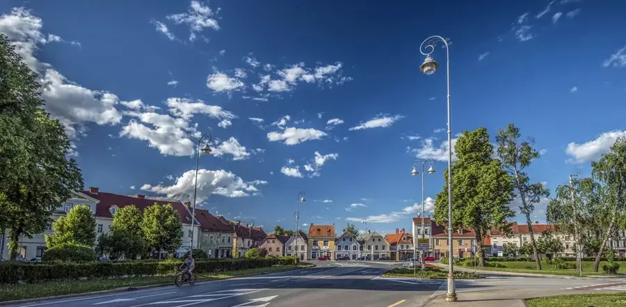
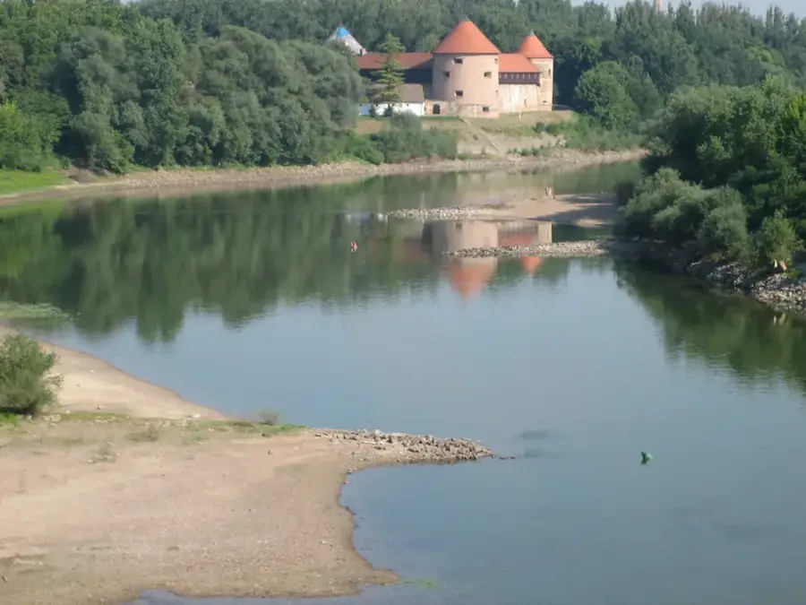
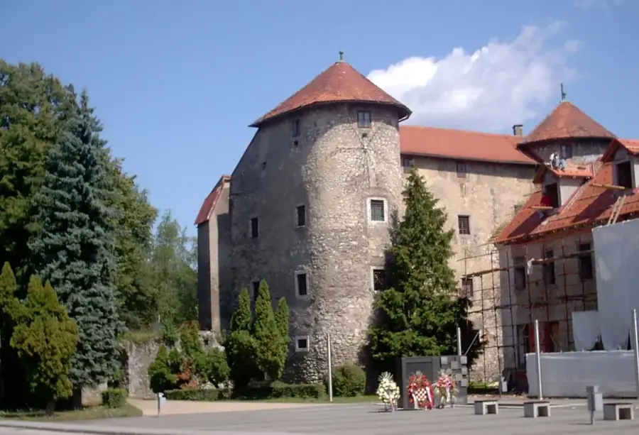
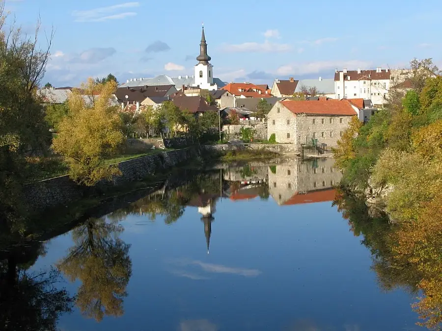
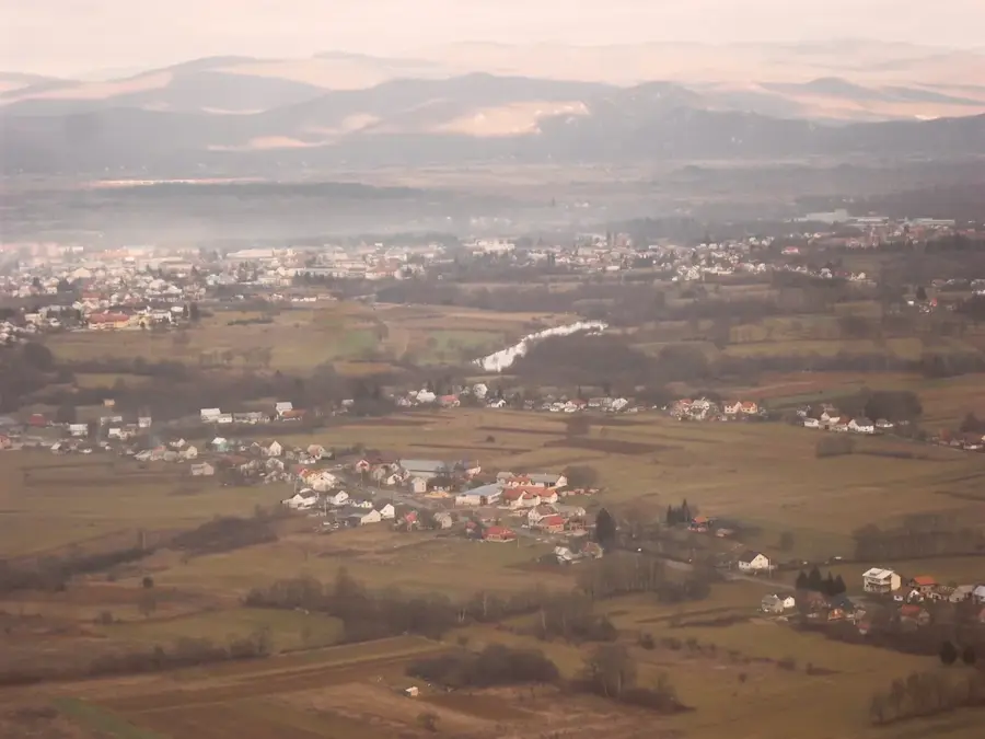
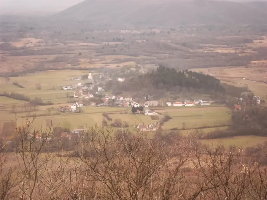
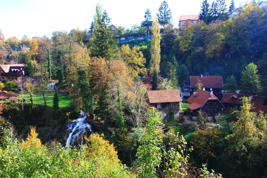
The Slunjčica Plateau is a characteristic karst upland in central Croatia, defined by the Slunjčica River and its spectacular confluence with the Korana. The plateau is primarily composed of permeable limestone, typical of the Dinaric Alps, which facilitates the infiltration of surface water into underground channels. The Slunjčica River emerges from a deep karst spring and winds across the plateau before plunging into the Korana River in the town of Slunj via numerous cascades and waterfalls. This confluence area, known as Rastoke, is historically significant for its traditional watermills, which have harnessed the energy of the falls since the 17th century. The geomorphological structure of the plateau has led to the formation of tufa barriers, created by the precipitation of calcium carbonate from the mineral-rich waters. The flora and fauna of the Slunjčica Plateau are highly specialized, with the river itself serving as a habitat for native brown trout and various endemic aquatic plants. Historically, the plateau was a strategic point on the Military Frontier of the Habsburg Empire against the Ottoman Empire. Today, the area is under environmental protection, focusing on preserving the hydrological balance and the unique historical architecture of Rastoke. Visitors value the plateau for its serene hiking trails and the exceptional harmony between natural phenomena and cultural heritage.
- Location: Croatia
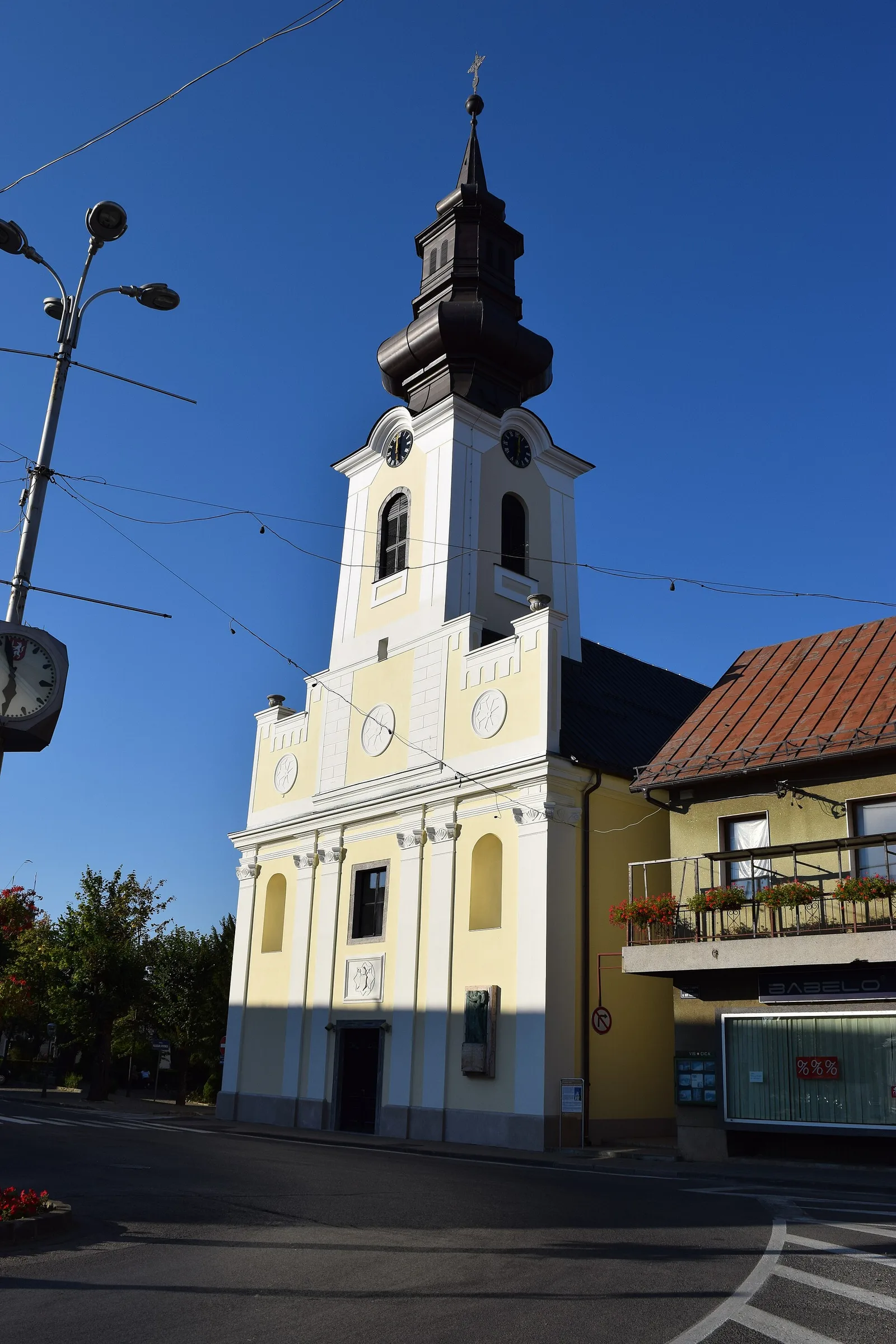
- Top sights: Slunjčica Well · Kupalište Jambrić
- Nearby: Jezerane (14 km)
Best time to visit & climate
The most pleasant time to visit is Jun–Aug.
| Jan | Feb | Mar | Apr | May | Jun | Jul | Aug | Sep | Oct | Nov | Dec | |
|---|---|---|---|---|---|---|---|---|---|---|---|---|
| Avg °C | 0 | 1 | 5 | 10 | 14 | 18 | 21 | 21 | 15 | 11 | 6 | 1 |
| Rain mm | 95 | 103 | 89 | 94 | 109 | 86 | 69 | 85 | 140 | 124 | 141 | 111 |
📋 Practical info
Geography
Facts
- The Slunjčica source is a karst spring with an explored depth of over 101 meters.
- The entire river flow spans only 6.5 kilometers before reaching the Korana River.
- There are 23 cascades in the Rastoke area where the river drops into the canyon.
- The first historical records of watermills in this area date back to 1644.
- The river water is exceptionally rich in oxygen, favoring the growth of tufa barriers.
- The Slunjčica area was declared a protected landscape in 1964, covering 60 hectares.
Explore nearby
Notable places around
Route planner — Car & Motorhome
Where do you start? We build the route here, with stops and country notes along the way.
© OpenStreetMap contributors · OpenRouteService
Sights in the town Slunjčica Plateau (2)
Sights nearby
Frequently asked questions
What is the Slunjčica Plateau?
Where does the hiking trail start?
Is the Slunjčica water drinkable?
How long does the hike to the source take?
Are there sights on the plateau?
Slunjčica Plateau: where is it located?
Slunjčica Plateau: what is there to see?
Slunjčica Plateau: when is the best time to visit?
Slunjčica Plateau: why is it worth visiting?

Nearby cities