Plizio Visual Lab
Kornati Islands
Weather…
Water temperature…
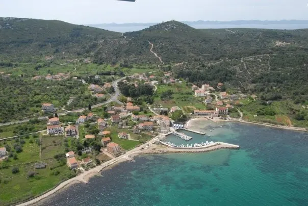
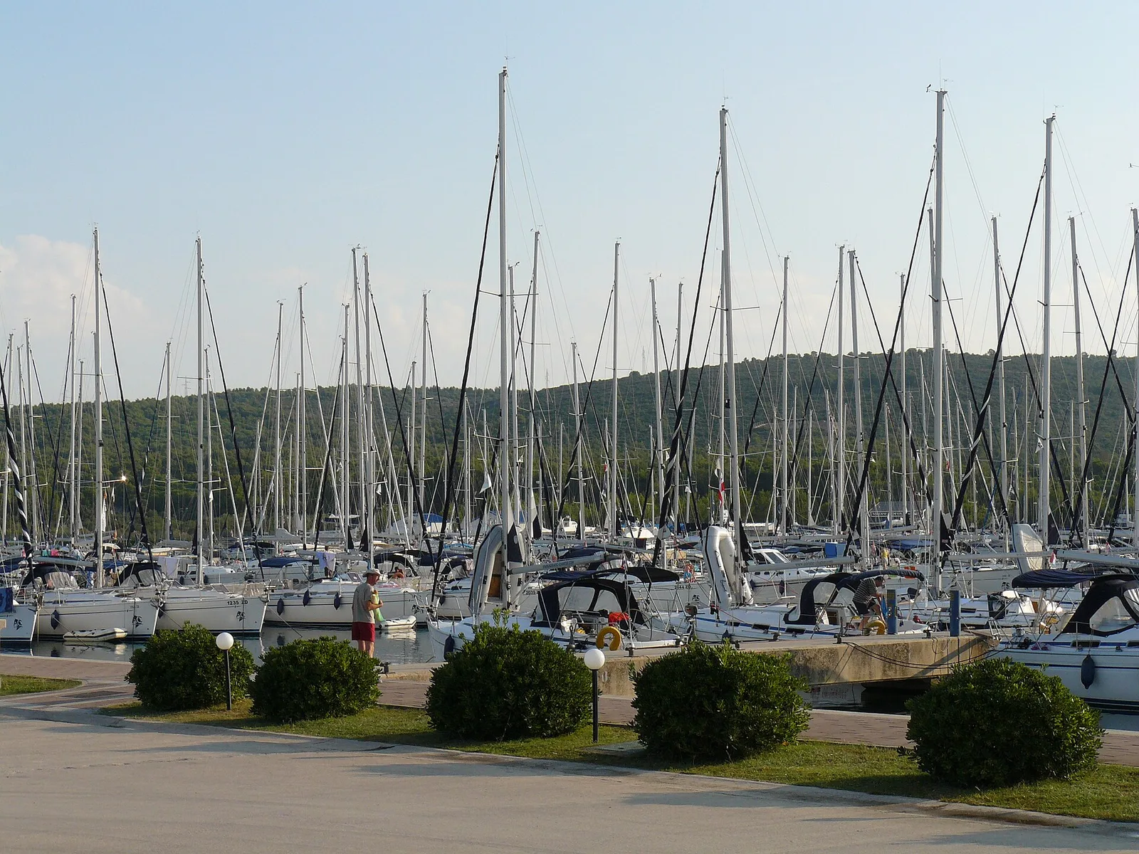
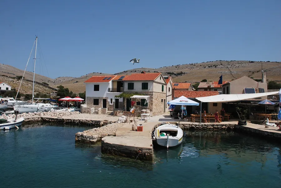
The Kornati Archipelago is the densest island group in the Mediterranean, consisting of 89 islands, islets, and reefs. The Kornati National Park was established in 1980 and covers an area of approximately 217 square kilometers in the central part of the Croatian Adriatic. The islands are predominantly made of karst limestone and are famous for their barren, moon-like landscape and the striking vertical cliffs known as crowns. These cliffs can rise up to 80 meters above sea level and extend deep underwater. Despite the apparent aridity, the islands host over 850 species of flora and fauna, while the underwater world is renowned for its immense biodiversity. Historically, the Kornati islands have been used since the Neolithic period, as evidenced by the remains of Illyrian forts and Roman villas. The absence of permanent settlements and modern light sources makes the park a convenient location for astronomical observations and nautical tourism. The park's management prioritizes the protection of marine ecosystems and the preservation of traditional dry-stone wall architecture.
- Location: Croatia
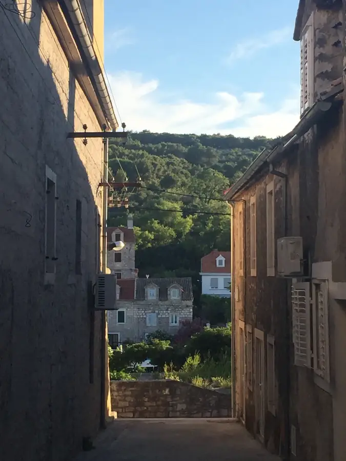
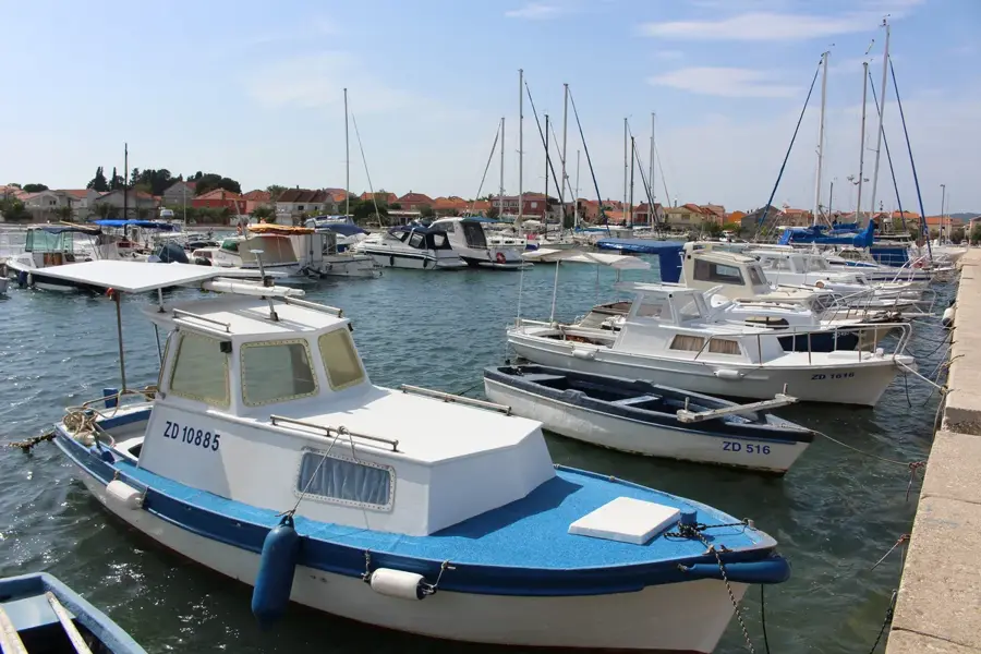
- Nearby: Tkon (14 km)
Best time to visit & climate
The most pleasant time to visit is Jun, Jul, Sep.
| Jan | Feb | Mar | Apr | May | Jun | Jul | Aug | Sep | Oct | Nov | Dec | |
|---|---|---|---|---|---|---|---|---|---|---|---|---|
| Avg °C | 5 | 6 | 9 | 13 | 17 | 22 | 25 | 25 | 20 | 15 | 11 | 7 |
| Rain mm | 90 | 89 | 75 | 68 | 66 | 55 | 40 | 50 | 102 | 96 | 129 | 110 |
📋 Practical info
Geography
Facts
- National park status since 1980.
- Consists of 89 islands and reefs.
- The highest cliff reaches 82 meters.
- 80% of the park's area is marine.
- The total length of dry-stone walls exceeds 300 km.
- There are no natural freshwater sources on the islands.
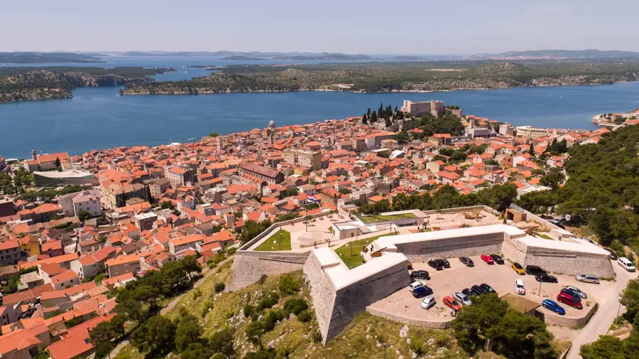
Explore nearby
Notable places around
Route planner — Car & Motorhome
Where do you start? We build the route here, with stops and country notes along the way.
© OpenStreetMap contributors · OpenRouteService
Sights in the town Kornati Islands (1)
Sights nearby
Frequently asked questions
What is the best way to visit the Kornati islands?
Are there residents on the islands?
What are the 'crowns' of the Kornati?
Is diving allowed anywhere?
Where can you get entrance tickets?
Kornati Islands: where is it located?
Kornati Islands: when is the best time to visit?
Kornati Islands: why is it worth visiting?

Nearby cities