Plizio Visual Lab
Banj

ℹ️Practical info — Banj
▾
🌤 Weather — 5 days
📍 Nearby
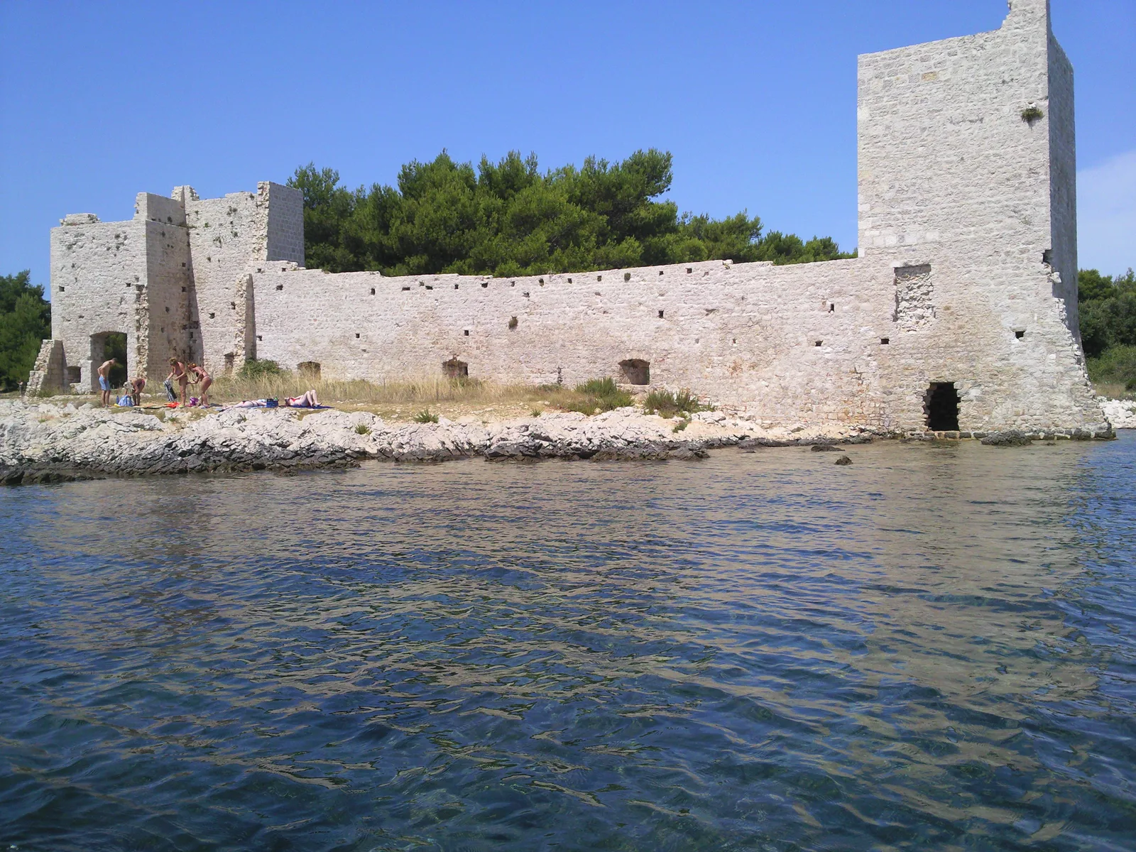
Sights nearby
💡 Tips
- Enjoy the shallow sandy beaches of Banj, which are great for families with young children.
- Hike to the Bokolj peak, the highest point on Pašman island, for a panoramic view of the Kornati archipelago.
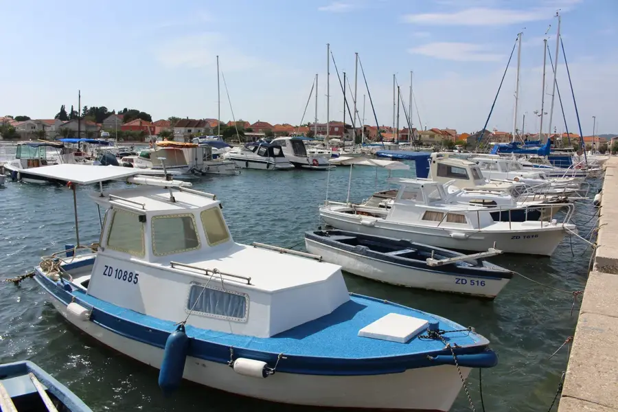
- Visit the small harbor early in the morning to see the local fishermen bringing in their fresh catch.
- Use the ferry connections from either Zadar or Biograd for easy access to the island.
- Bring snorkeling gear, as the crystal-clear water around Banj is full of marine life.
🍽 Food
Freshly caught and simply prepared over charcoal, an authentic taste of the Adriatic found near the harbor.
A classic Dalmatian dish made with cuttlefish, served in most seaside restaurants in Banj.
Air-dried ham from the region, excellent when paired with local sheep cheese and olives.
🛍 Shopping · 🧘 Quiet spots
A traditional island snack, sun-dried and often sold in small bags at local farm stands.
A strong local spirit infused with island herbs, available directly from small producers.
Provides natural shade and a quiet retreat when the midday sun is at its strongest.
Leaving the village behind, this path features solitude and impressive natural scenery away from the crowds.
Water temperature…
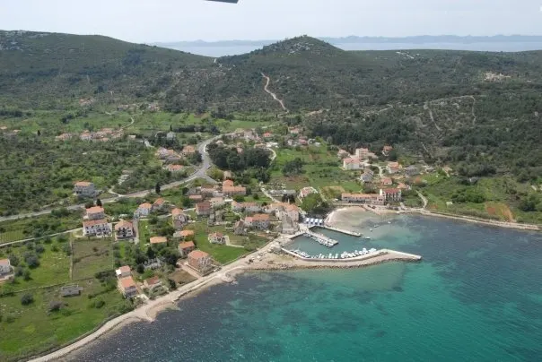
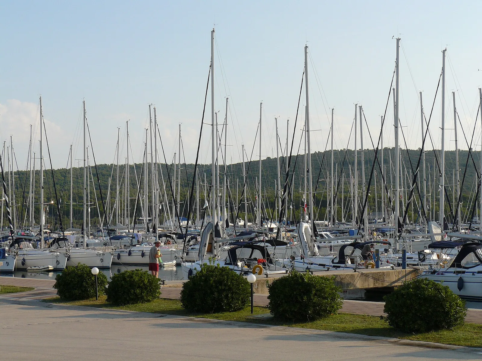
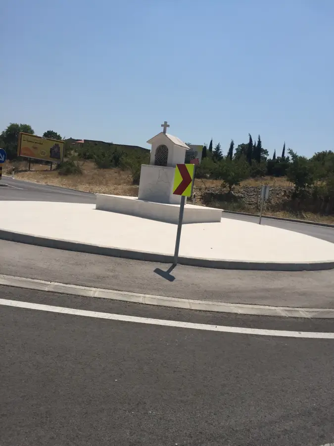
Banj is located on the northeastern coast of Pašman island, looking directly at the Zadar channel. The village's name derives from the Latin word 'balnea', indicating the existence of Roman baths in antiquity. Today, Banj is a quiet holiday resort, especially popular with families, as the beaches here are very shallow with a sandy bottom. The village is surrounded by dense Mediterranean vegetation, primarily olive and pine trees, providing natural shade on hot summer days. The landmark of the place is the Church of Saints Cosmas and Damian (crkva sv. Kuzme i Damjana) from the 14th century, perched on a small hill offering a wide view over the village and the sea. Hiking trails lead from the village up to the Bokolj peak, the island's highest point, from which the entire Kornati archipelago can be seen. The inhabitants of Banj maintain traditional agriculture and fishing. In local restaurants, one can enjoy freshly caught fish and shellfish, as well as top-quality olive oil. Since Pašman is connected by a bridge to Ugljan island, Banj is easily accessible yet provides the seclusion of a true Adriatic island.
- Location: Croatia
- Nearby: Kukljica (6 km)
- Population: ~173
Best time to visit & climate
The most pleasant time to visit is Jun, Jul, Sep.
| Jan | Feb | Mar | Apr | May | Jun | Jul | Aug | Sep | Oct | Nov | Dec | |
|---|---|---|---|---|---|---|---|---|---|---|---|---|
| Avg °C | 5 | 6 | 9 | 13 | 17 | 22 | 25 | 25 | 20 | 15 | 11 | 7 |
| Rain mm | 90 | 89 | 75 | 68 | 66 | 55 | 40 | 50 | 102 | 96 | 129 | 110 |
Geography
Facts
- Pašman Island
- Sandy beaches
- Roman origins
- St. Cosmas & Damian Church
- View of Zadar channel
- Olive groves
- Hiking to Bokolj peak
- Fresh seafood
Explore nearby
Notable places around
Route planner — Car & Motorhome
Where do you start? We build the route here, with stops and country notes along the way.
© OpenStreetMap contributors · OpenRouteService
Frequently asked questions
On which island is Banj located?
Are there sandy beaches in Banj?
Can you go hiking from Banj?
How do you reach Pašman island?
What is the main occupation of the inhabitants of Banj?
Banj: where is it located?
Banj: when is the best time to visit?
Banj: why is it worth visiting?

Nearby cities