Plizio Visual Lab
Mount Ntingui
Weather…
Water temperature…
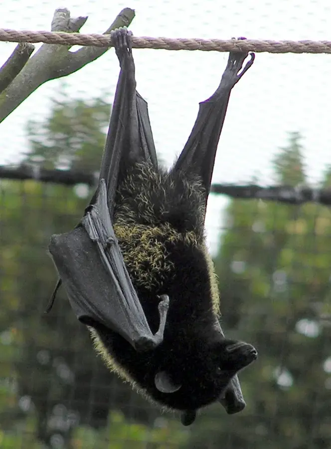
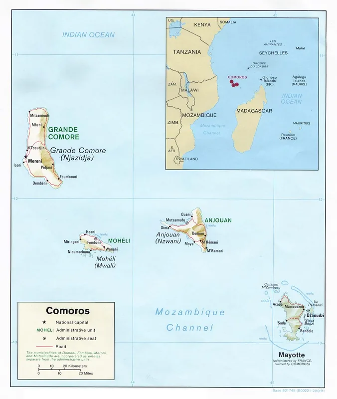
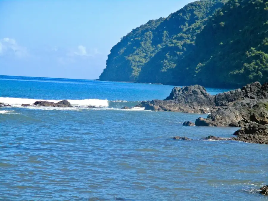
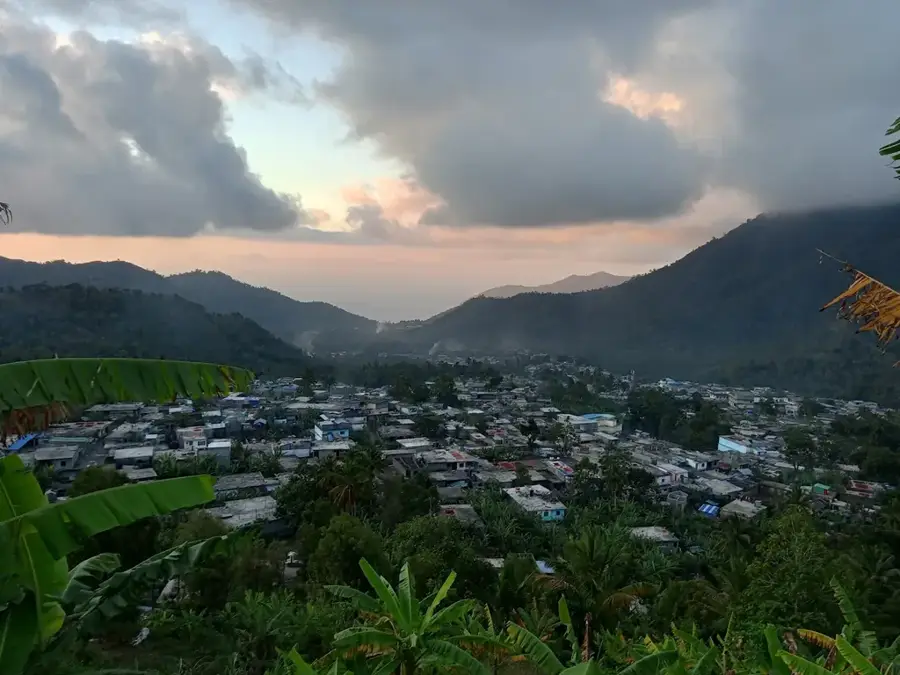
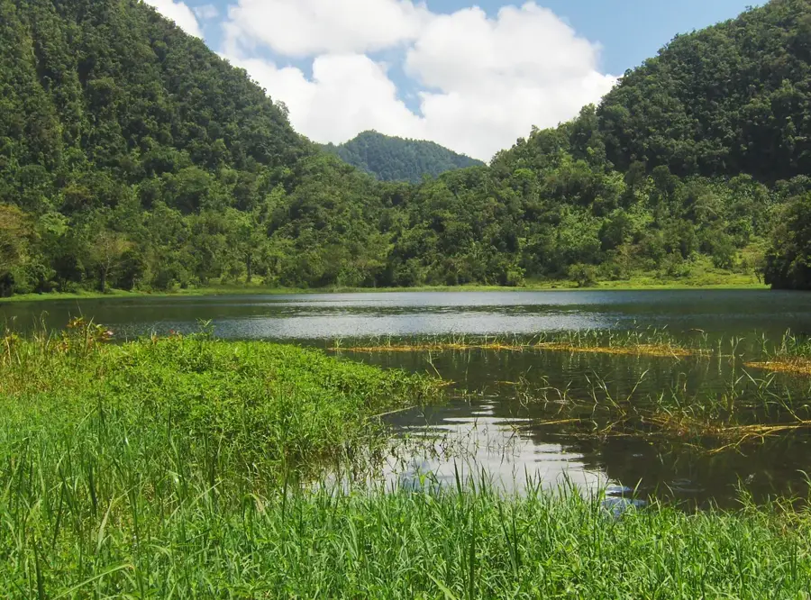
Mount Ntingui is the highest peak on Anjouan island, standing at 1,595 meters, and is a prominent landmark of the region. Its rugged summit has unparalleled panoramic views of all four main islands of the Comoros archipelago, including distant Mayotte, on clear days. The mountain slopes are covered with dense primary forests that serve as one of the last sanctuaries for the endangered Livingstone's fruit bat. This area is ecologically invaluable, housing numerous endemic bird species and rare orchids. A unique feature of Mount Ntingui is Lake Dzialandzé, a crater lake situated at an altitude of about 900 meters, which provides the primary freshwater supply for the city of Mutsamudu. The moist microgrowth on the mountain favors the growth of mosses, ferns, and epiphytes, giving the forest a mystical atmosphere. Climbing the mountain is considered challenging due to the steep and often slippery terrain, but it rewards hikers with insights into Anjouan's untouched nature. Conservation efforts aim to protect the forest from illegal logging and the expansion of agriculture.
- Location: Comoros
- Top sights: Anjouan · Dzidri-I
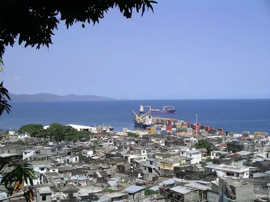
- Nearby: Barakani (4 km)
Best time to visit & climate
The most pleasant time to visit is Jul–Sep.
| Jan | Feb | Mar | Apr | May | Jun | Jul | Aug | Sep | Oct | Nov | Dec | |
|---|---|---|---|---|---|---|---|---|---|---|---|---|
| Avg °C | 28 | 28 | 28 | 28 | 27 | 26 | 25 | 25 | 25 | 26 | 27 | 28 |
| Rain mm | 222 | 162 | 150 | 119 | 58 | 33 | 27 | 21 | 19 | 36 | 50 | 108 |
📋 Practical info
Geography
Facts
- Mount Ntingui is the highest point on Anjouan island (1,595 m).
- The mountain is home to a colony of rare Livingstone's fruit bats.
- All four Comoro islands are visible from the summit in clear weather.
- Lake Dzialandzé is located on its slopes at about 900 m altitude.
- The slopes are a vital refuge for the endemic Anjouan scops owl.
- The mountain is of volcanic origin but shows no current activity.
Explore nearby
Notable places around
Route planner — Car & Motorhome
Where do you start? We build the route here, with stops and country notes along the way.
© OpenStreetMap contributors · OpenRouteService
Sights in the town Mount Ntingui (2)
Sights nearby
Frequently asked questions
Where does the hike to Mount Ntingui start?
What is the difficulty level of the trails?
Is there a good view from the summit?
How long does the ascent take?
Are there water sources along the trail?
Mount Ntingui: where is it located?
Mount Ntingui: what is there to see?
Mount Ntingui: when is the best time to visit?
Mount Ntingui: why is it worth visiting?

Nearby cities


History & landmarks

Nature
More places