Plizio Visual Lab
Doña Juana Volcano
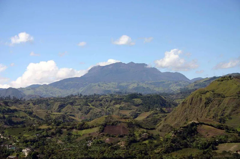
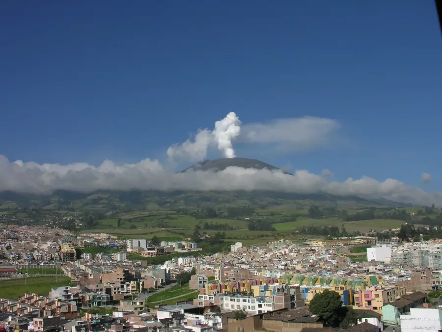
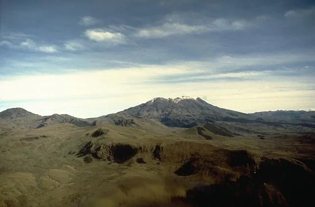
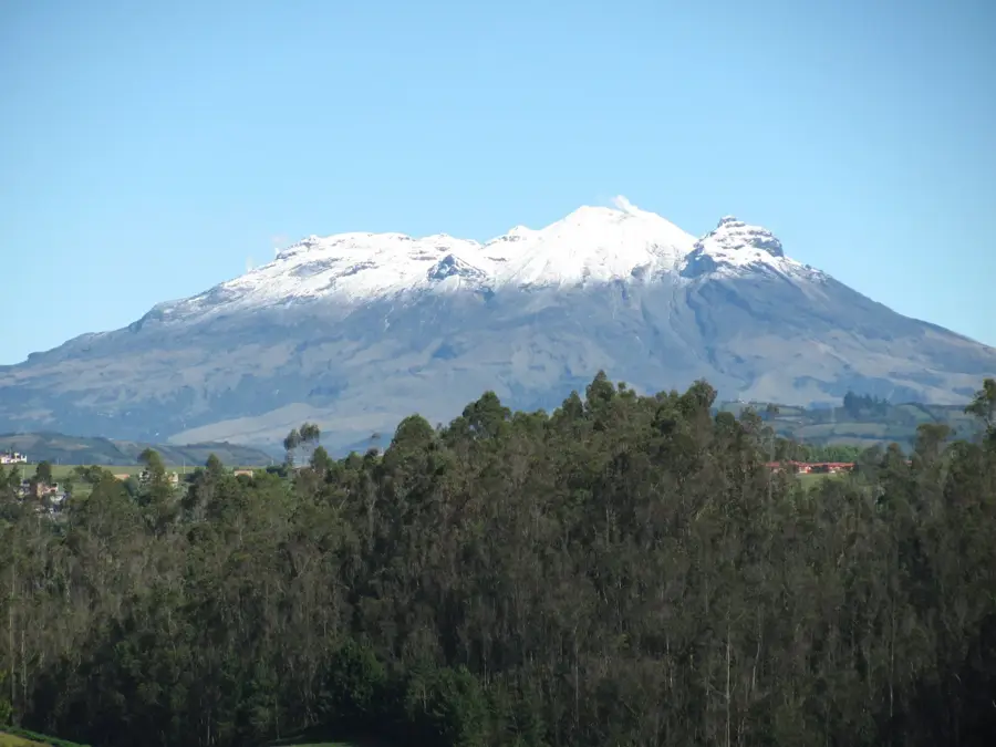
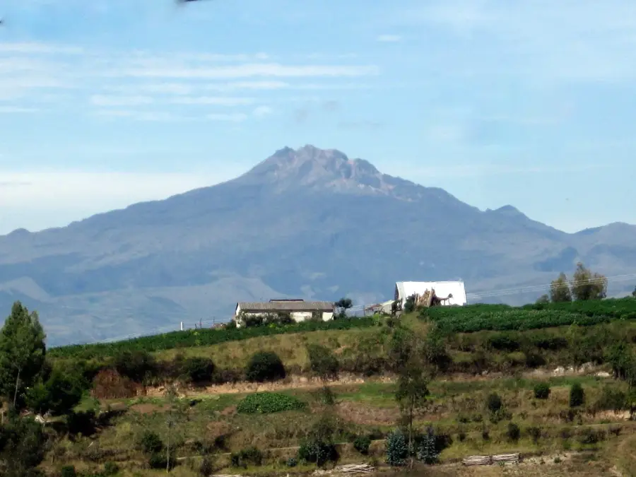
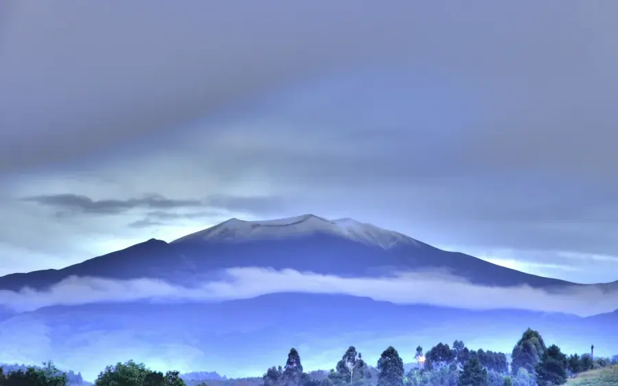
Doña Juana Volcano is a complex stratovolcano situated at the border of the Nariño, Cauca, and Putumayo departments in the Colombian Andes. It consists of two main peaks and reaches an elevation of 4,150 meters above sea level. The volcano is part of the Doña Juana-Cascabel Volcanic National Park, which covers over 65,000 hectares and protects immense biodiversity. The historical activity of Doña Juana is well-documented, particularly the devastating eruption between 1897 and 1906, which caused numerous fatalities. Geologically, the volcano is characterized by the extrusion of andesitic and dacitic magma, leading to explosive eruptions. The surrounding slopes are covered with dense cloud forests and páramo vegetation, feeding vital water sources for the Magdalena and Caquetá rivers. Today, the volcano is closely monitored by the Colombian Geological Service as it remains active and is located near populated areas.
- Location: Colombia
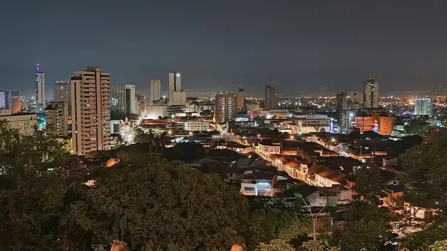
- Nearby: Buenaventura (62 km)
Best time to visit & climate
The most pleasant time to visit is Jul–Sep.
| Jan | Feb | Mar | Apr | May | Jun | Jul | Aug | Sep | Oct | Nov | Dec | |
|---|---|---|---|---|---|---|---|---|---|---|---|---|
| Avg °C | 16 | 17 | 16 | 16 | 16 | 15 | 15 | 16 | 16 | 16 | 16 | 16 |
| Rain mm | 83 | 86 | 117 | 138 | 114 | 85 | 56 | 43 | 58 | 126 | 161 | 118 |
📋 Practical info
Geography
Facts
- The maximum elevation of the volcanic peak is 4,150 meters.
- The devastating eruption of 1899 caused an estimated 100 fatalities.
- The Doña Juana-Cascabel National Park was established in 2007.
- Important tributaries of the Amazon basin originate in this region.
- The volcano features a horseshoe-shaped caldera open to the northeast.
- Dacitic lava domes form the central part of the summit complex.
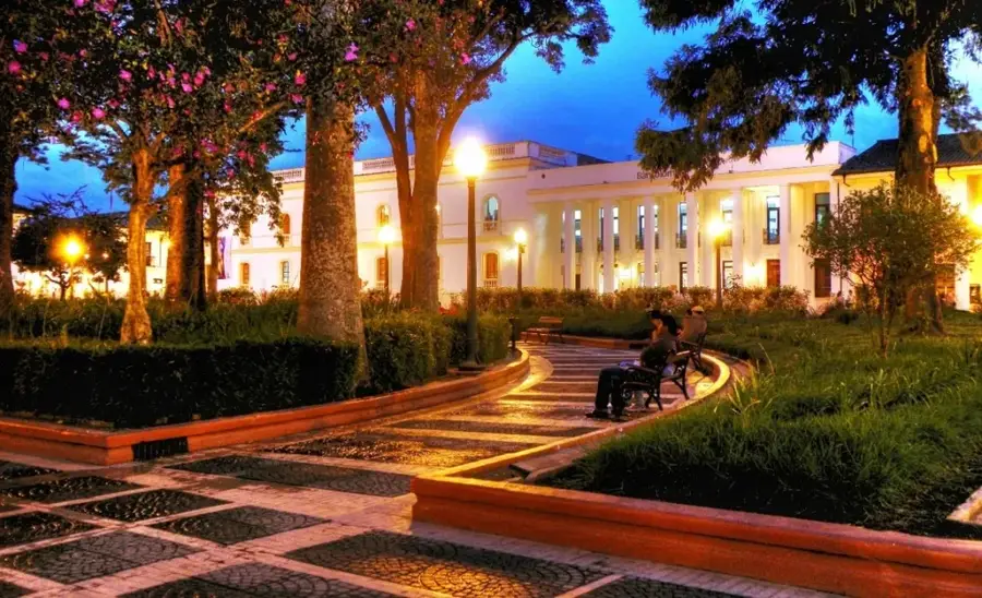
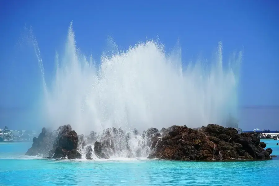
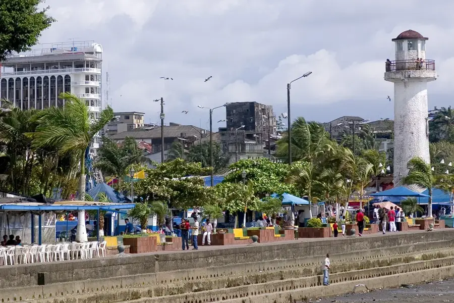
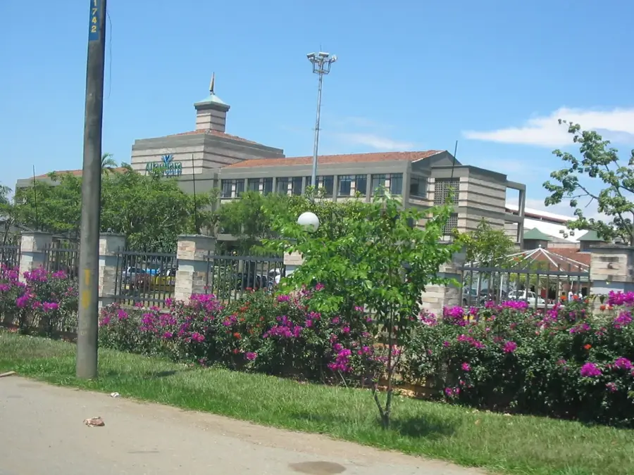
Explore nearby
Notable places around
Route planner — Car & Motorhome
Where do you start? We build the route here, with stops and country notes along the way.
© OpenStreetMap contributors · OpenRouteService
Sights nearby
Frequently asked questions
Where is Vulkan Doña Juana located?
Is the volcano dangerous?
What animals live in the national park?
How high is the volcano?
Can you visit the area?
Doña Juana Volcano: where is it located?
Doña Juana Volcano: when is the best time to visit?
Doña Juana Volcano: why is it worth visiting?

Nearby cities
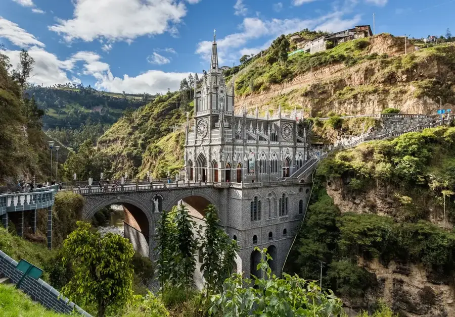
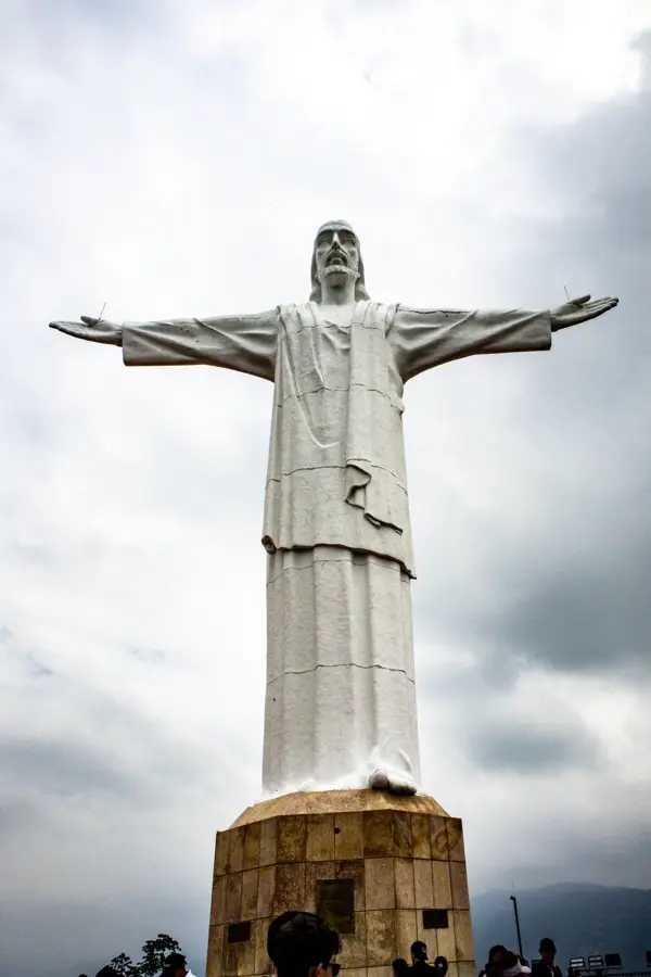
History & landmarks
Nature

More places