Plizio Visual Lab
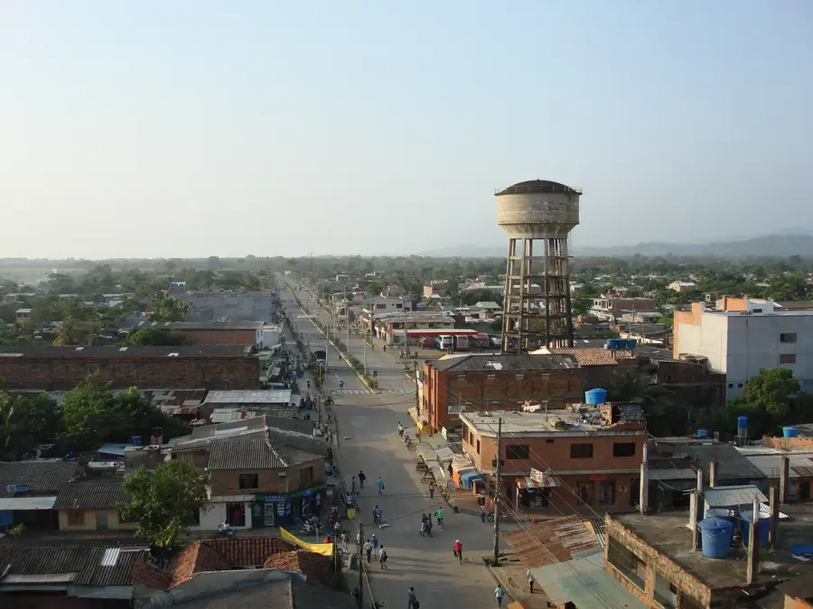
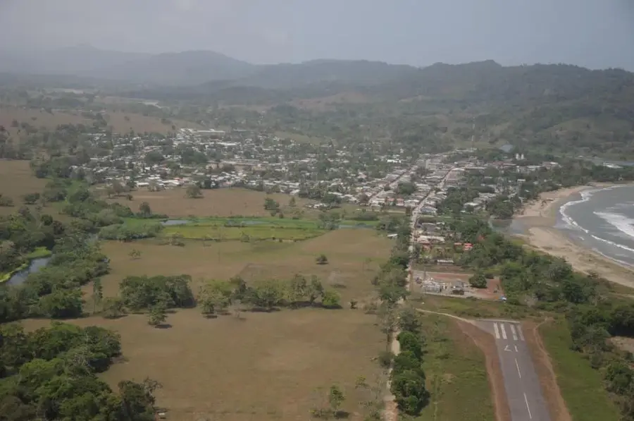
Puerto Antioquia
Weather…
Water temperature…
Puerto Antioquia is a transformative infrastructure project located in the Gulf of Urabá, near the municipality of Turbo, poised to redefine Colombia's logistics landscape. The construction of this deep-water port addresses the urgent need to provide the country's industrial core (Medellín and Bogotá) with a more direct and efficient link to the Atlantic Ocean. With an investment totaling approximately $700 million, Puerto Antioquia will feature state-of-the-art terminals for containers, bulk cargo, and roll-on/roll-off vehicles. Its strategic advantage lies in reducing inland transportation distances by hundreds of kilometers compared to established ports in Cartagena or Santa Marta. The project is tightly integrated with the 'Mar 1' and 'Mar 2' 4G highway networks, which will streamline freight movement between the interior and the coast. Furthermore, Puerto Antioquia is set to become a vital exit point for the massive banana and plantain exports originating in the Urabá region. Expected to be operational by 2025, the port is projected to significantly bolster the competitiveness of Colombian exports. Beyond economic impacts, it is anticipated to drive regional development through job creation and enhanced local infrastructure.
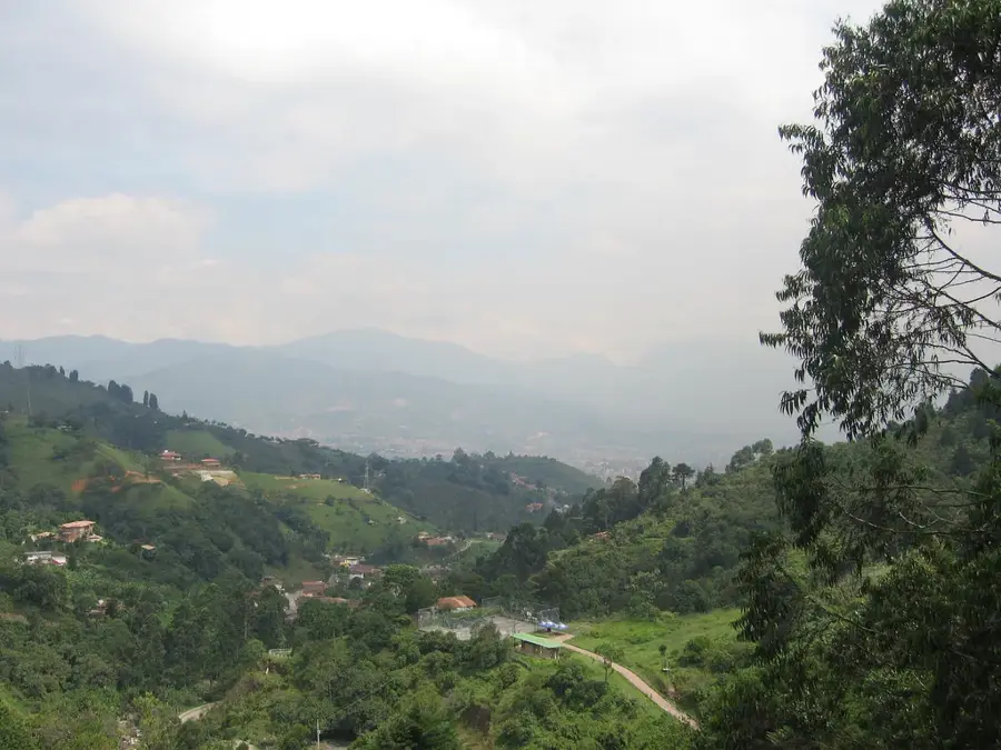
- Location: Colombia
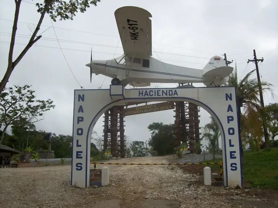
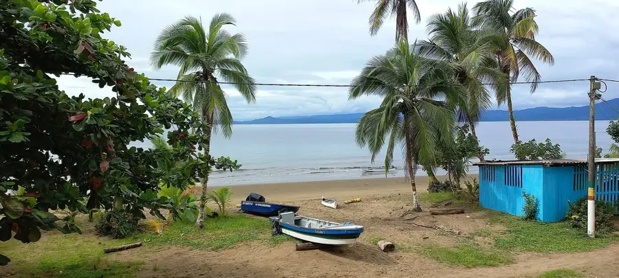
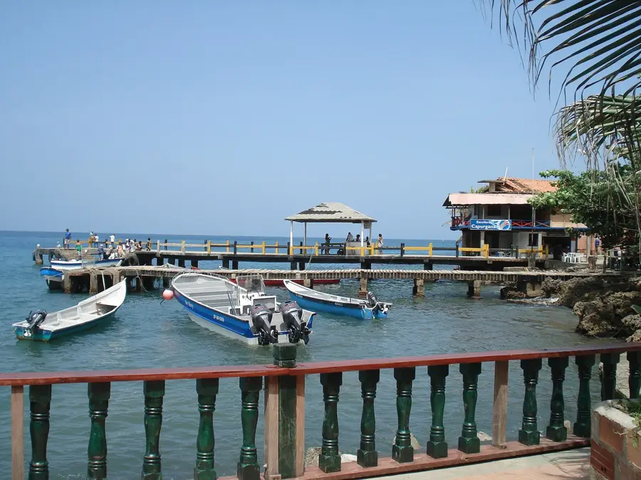
- Top sights: Faro Punta Las Vacas · Playa La Martina · Playa Dulce
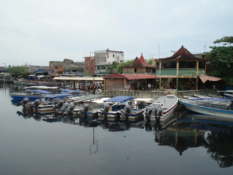
- Nearby: Apartadó (13 km)
Best time to visit & climate
The most pleasant time to visit is Jan–Mar.
| Jan | Feb | Mar | Apr | May | Jun | Jul | Aug | Sep | Oct | Nov | Dec | |
|---|---|---|---|---|---|---|---|---|---|---|---|---|
| Avg °C | 26 | 26 | 27 | 26 | 26 | 25 | 25 | 25 | 25 | 25 | 25 | 25 |
| Rain mm | 65 | 35 | 87 | 197 | 237 | 200 | 232 | 189 | 211 | 191 | 188 | 148 |
📋 Practical info
Geography
Facts
- Scheduled to open in 2025
- Total investment of approximately $700 million
- Located in the Gulf of Urabá near Turbo
- Deep-water port with a draft of 16.5 meters
- Closest Atlantic port to Medellín and Bogotá
- Capacity to handle over 6.6 million tonnes of cargo annually
Explore nearby
Notable places around
Route planner — Car & Motorhome
Where do you start? We build the route here, with stops and country notes along the way.
© OpenStreetMap contributors · OpenRouteService
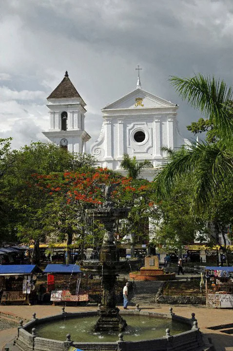
Sights in the town Puerto Antioquia (8)
Sights nearby
Frequently asked questions
What is Puerto Antioquia?
What are the advantages of this port?
What will be exported there?
Where is it located exactly?
When will operation begin?
Puerto Antioquia: where is it located?
Puerto Antioquia: what is there to see?
Puerto Antioquia: when is the best time to visit?
Puerto Antioquia: why is it worth visiting?

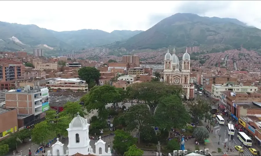
Nearby cities

History & landmarks


More places