Plizio Visual Lab
Atrato River
Weather…
Water temperature…
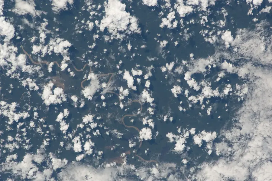
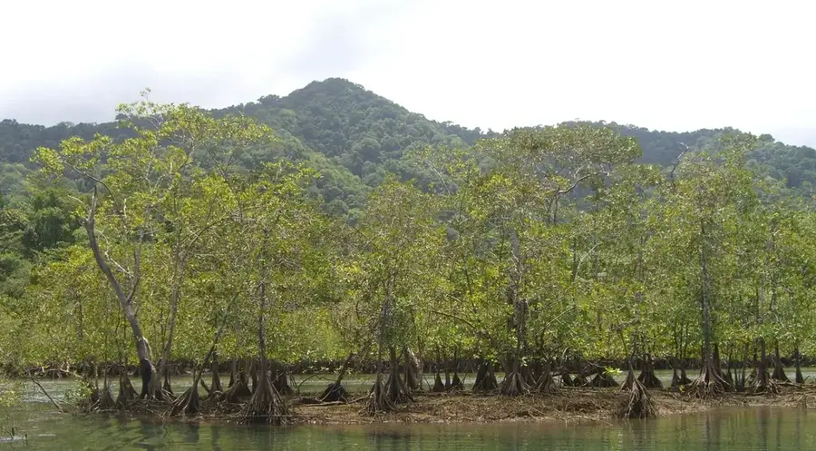
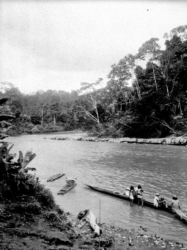
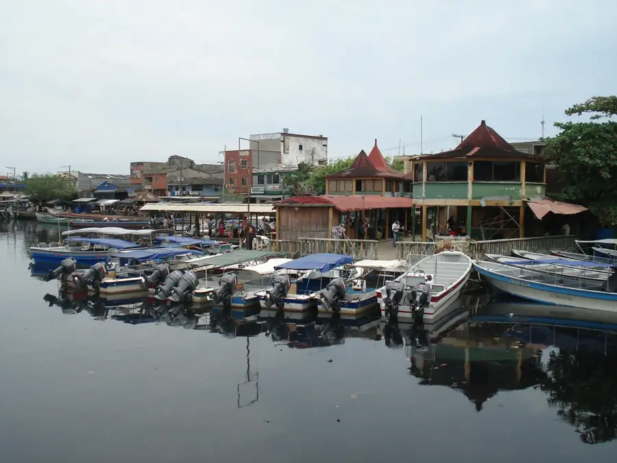
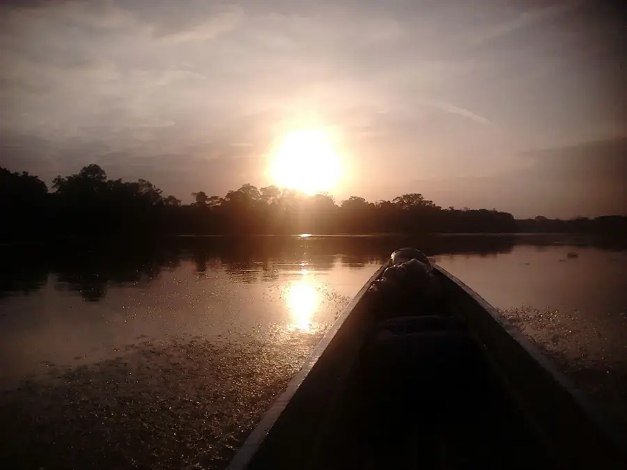
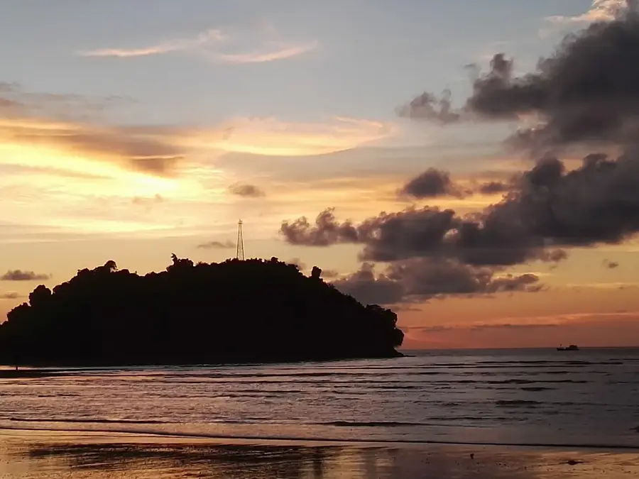
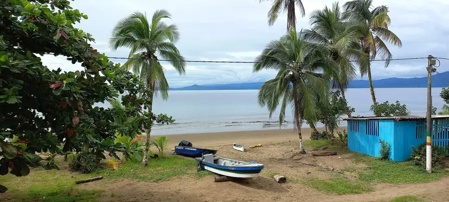
The Atrato River flows through northwestern Colombia and is renowned as one of the world's highest-discharge rivers relative to its basin size. It traverses the Chocó department, one of the wettest regions on Earth, before emptying into the Gulf of Urabá in the Caribbean Sea. The river serves as the lifeblood for the local Afro-Colombian and indigenous communities, providing the only viable transport route through the dense and often inaccessible rainforest. Ecologically, the Atrato is of immense value as it flows through areas of extreme biodiversity and forms a massive delta characterized by extensive mangrove forests. In 2016, the river made legal history when the Constitutional Court of Colombia recognized it as a subject of rights to protect it from the widespread destruction caused by illegal mining and logging. Despite this landmark protection, the region remains a site of social conflict and environmental crimes, posing ongoing threats to this unique ecosystem's survival.
- Location: Colombia
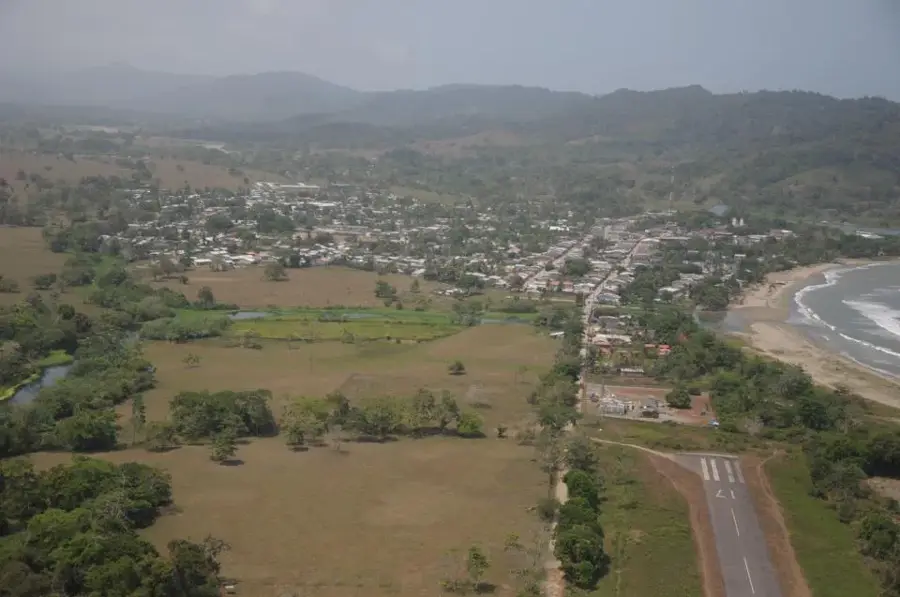
- Nearby: Turbo (10 km)
Best time to visit & climate
The most pleasant time to visit is Jan–Mar.
| Jan | Feb | Mar | Apr | May | Jun | Jul | Aug | Sep | Oct | Nov | Dec | |
|---|---|---|---|---|---|---|---|---|---|---|---|---|
| Avg °C | 26 | 26 | 27 | 26 | 26 | 26 | 26 | 26 | 25 | 25 | 25 | 26 |
| Rain mm | 79 | 39 | 102 | 219 | 265 | 229 | 256 | 217 | 245 | 220 | 223 | 179 |
📋 Practical info
Geography
Facts
- The Atrato River has a total length of approximately 750 kilometers.
- It is navigable for about 500 kilometers of its course.
- The river transports massive volumes of sediment into the Gulf of Urabá annually.
- In 2016, it became the first river in Colombia to be granted its own legal rights.
- The Atrato basin receives up to 10,000 mm of rainfall per year in some areas.
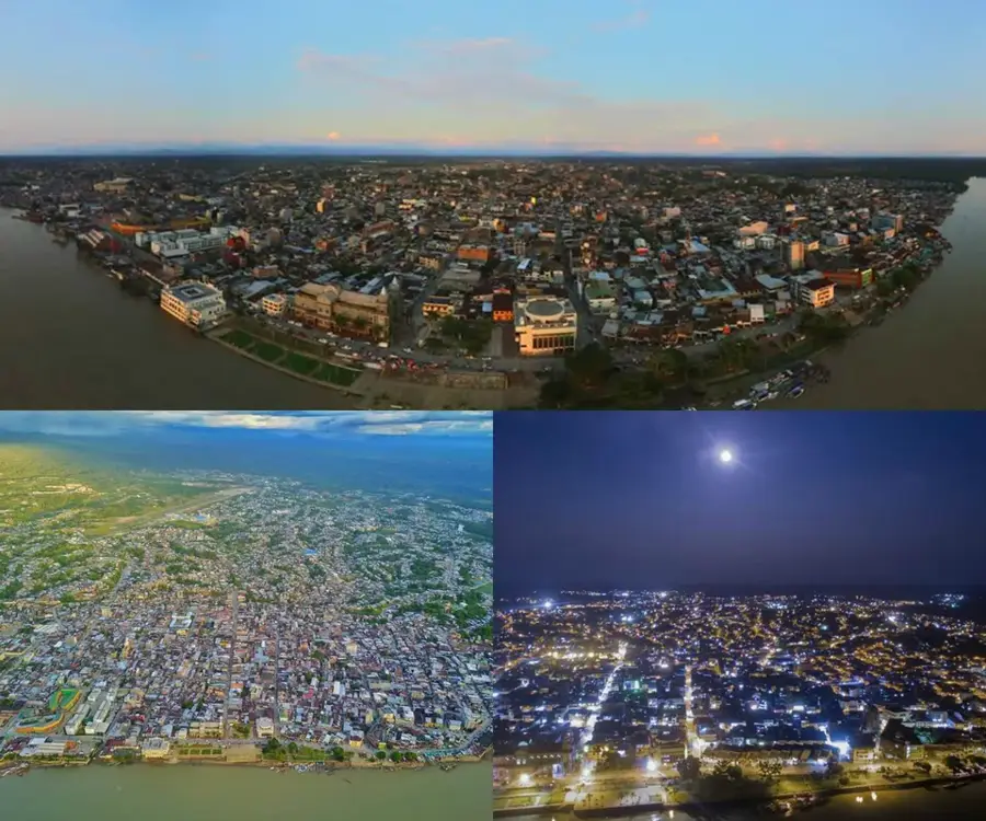
- The city of Quibdó is located on the banks of the upper Atrato River.
Explore nearby
Notable places around
Route planner — Car & Motorhome
Where do you start? We build the route here, with stops and country notes along the way.
© OpenStreetMap contributors · OpenRouteService
Sights in the town Atrato River (1)
Sights nearby
Frequently asked questions
Where does the Atrato flow?
Is the Atrato region rainy?
What is its importance for transport?
Is there gold in the river?
Does the river have rights?
Atrato River: where is it located?
Atrato River: when is the best time to visit?
Atrato River: why is it worth visiting?

Nearby cities
More places