Plizio Visual Lab
Bello
ℹ️Practical info — Bello
▾
🌤 Weather — 5 days
📍 Nearby
Sights nearby
💡 Tips
- Take the Medellín Metro to Niquía station; it's the easiest and safest way to travel between Bello and Medellín.
- Visit the central square (Parque Principal de Bello) in the late afternoon to see the locals gathering and enjoy the cooler weather.
- Bello can be very humid, so wear lightweight, breathable clothing and always carry a bottle of water.
- Taxis are plentiful, but always use official ones or ride-hailing apps rather than hailing random cars on the street.
🍽 Food
A hearty traditional dish you can find in almost any local restaurant around the main square.
Grab these cheesy cornmeal cakes from street vendors for a quick and authentic snack.
Try these crispy meat-filled pastries at a small local bakery or street stall.
🛍 Shopping · 🧘 Quiet spots
A large commercial center near the metro station, offering local brands and a lively food court.
Explore the smaller streets off the main square for fresh tropical fruits and cheap clothing.
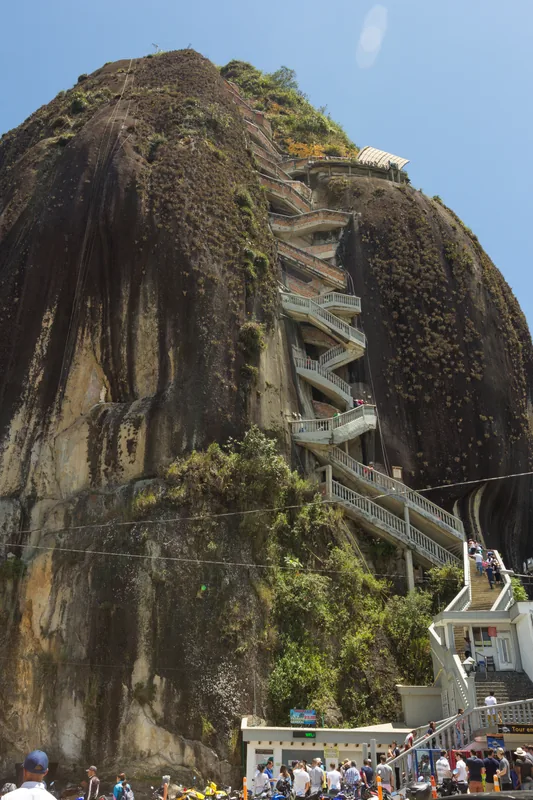
A prominent mountain offering hiking trails. Best climbed early in the morning for cooler temperatures and panoramic views of the Aburrá Valley.
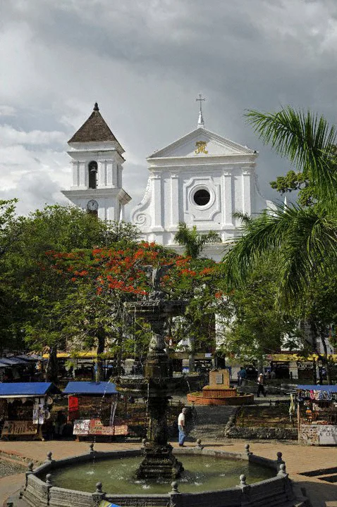
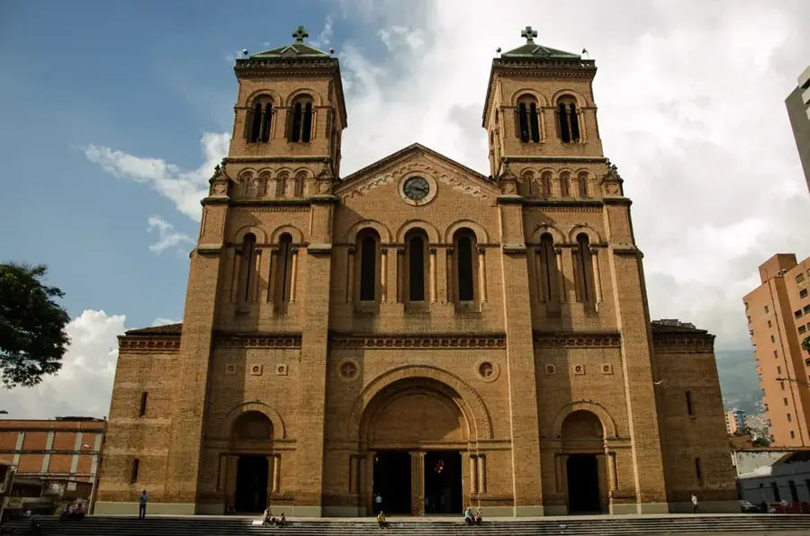
The plaza around this beautiful church is well-suited for sitting on a bench and watching the world go by in the morning.
Water temperature…
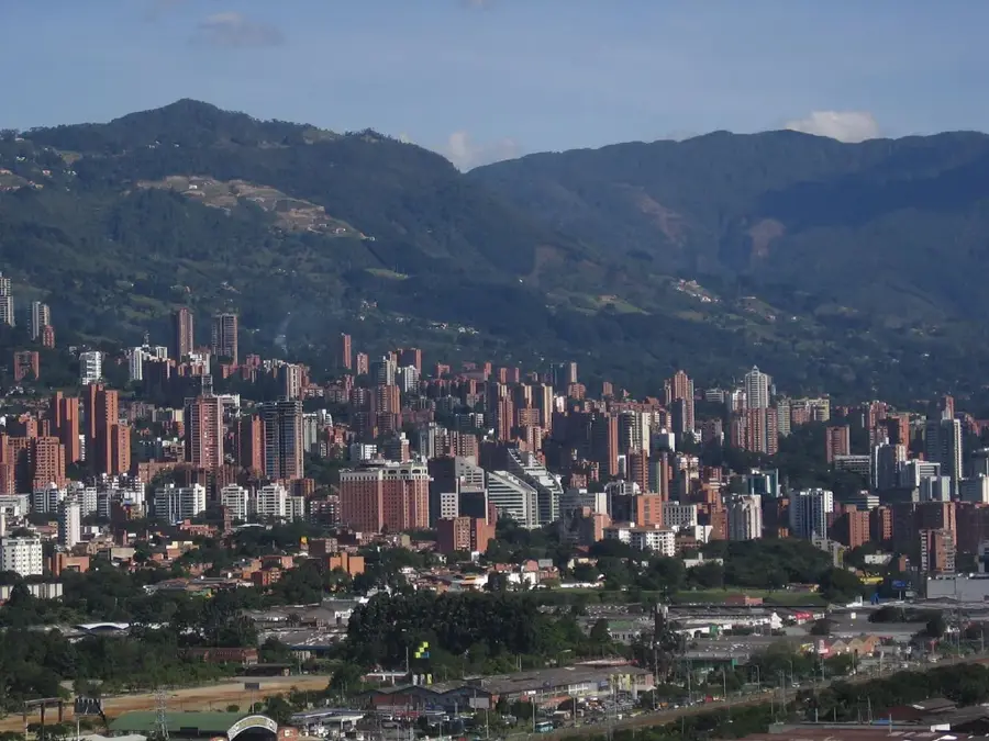
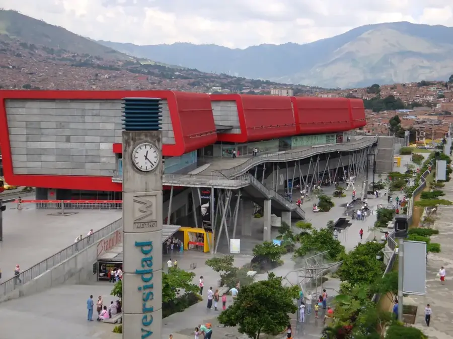
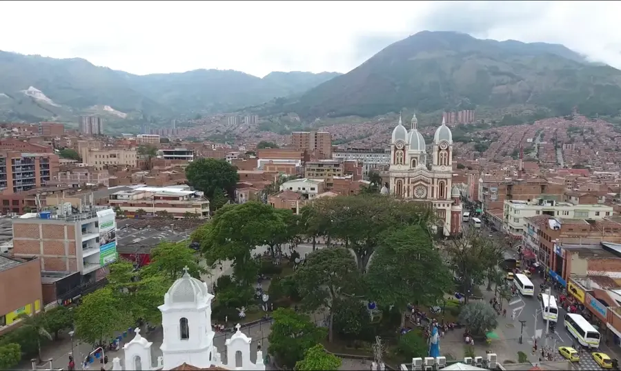
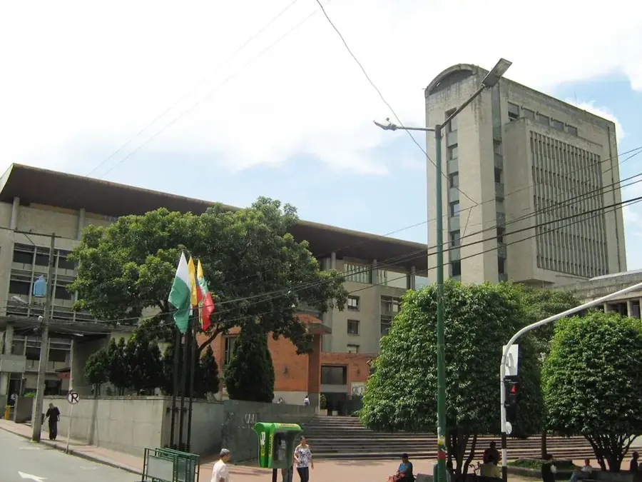
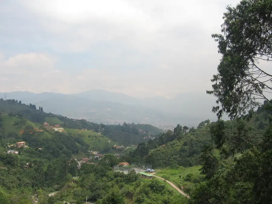
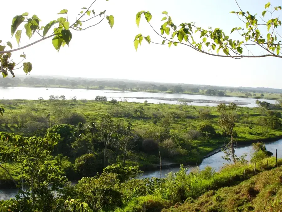
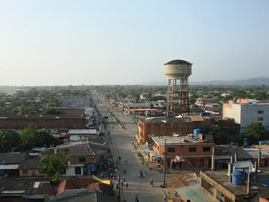
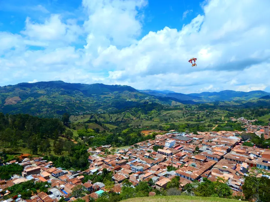
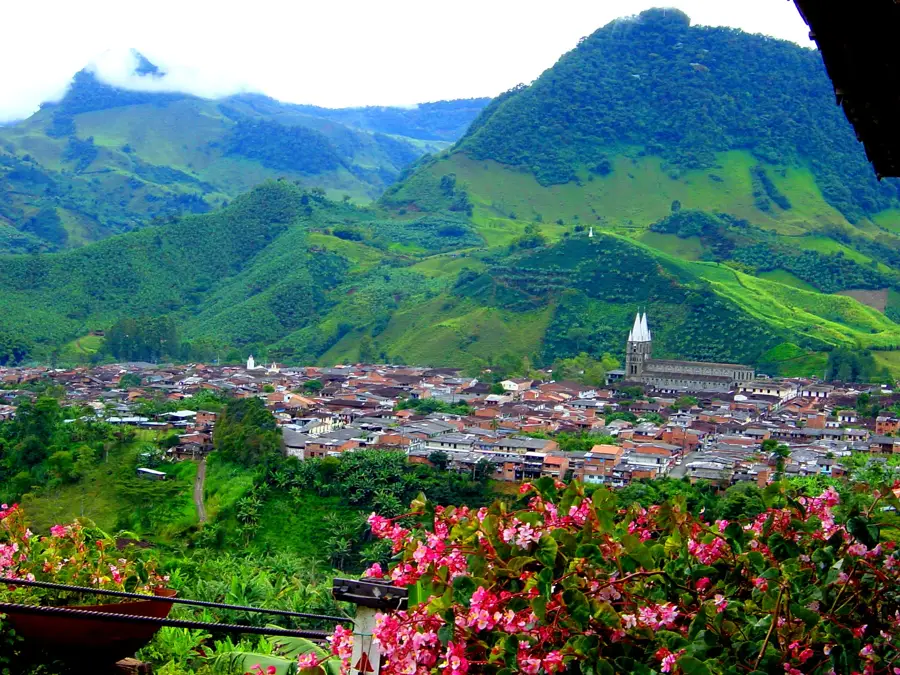
Bello is a prominent city in the Antioquia department and a key part of the Medellín metropolitan area within the Aburrá Valley. Originally founded in 1602 as 'Hatoviejo,' it was renamed in 1883 to honor the renowned writer and educator Andrés Bello. The city has a deep-rooted industrial legacy, serving as a cornerstone of the Colombian textile industry since the establishment of the Fabricato factory in 1920. Situated at an elevation of 1,450 meters, Bello is highly integrated into the regional transit system via several stations of the Medellín Metro. Known as the 'City of Artists,' it fosters a lively cultural scene and is home to the Marco Fidel Suárez Museum, dedicated to the former Colombian president born there. Geographically, the skyline is dominated by Cerro Quitasol, a prominent mountain that is a popular destination for hiking and ecological observation. Today, Bello's economy has transitioned toward a mix of retail, services, and manufacturing, solidifying its position as a major urban and economic center in the northern Aburrá Valley.
- Location: Colombia
- Top sights: Mirador el Plan · Classic & Vintage Bicycles Museum · Reserva Natural Piamonte
- Nearby: Envigado (6 km)
- Population: ~392.939 (2016)
Best time to visit & climate
The most pleasant time to visit is Jan–Mar.
| Jan | Feb | Mar | Apr | May | Jun | Jul | Aug | Sep | Oct | Nov | Dec | |
|---|---|---|---|---|---|---|---|---|---|---|---|---|
| Avg °C | 16 | 17 | 17 | 17 | 17 | 17 | 16 | 17 | 16 | 16 | 16 | 16 |
| Rain mm | 116 | 92 | 138 | 220 | 243 | 172 | 177 | 193 | 193 | 220 | 205 | 152 |
Geography
Facts
- Founded in 1602 as Hatoviejo; renamed Bello in 1883.
- Situated at an altitude of 1,450 meters in the Aburrá Valley.
- The birthplace of former Colombian President Marco Fidel Suárez.
- Home to Fabricato, one of Colombia's most historic textile companies.
- Cerro Quitasol is a significant ecological and archaeological site.
- Served by the Medellín Metro system, facilitating regional connectivity.
Explore nearby
Notable places around
Route planner — Car & Motorhome
Where do you start? We build the route here, with stops and country notes along the way.
© OpenStreetMap contributors · OpenRouteService
Sights in the town Bello (9)
Frequently asked questions
Where is Bello located?
What is Cerro Quitasol?
Is Bello connected to the metro system?
What is the Marco Fidel Suárez Museum?
How is the weather?
Bello: where is it located?
Bello: what is there to see?
Bello: when is the best time to visit?
Bello: why is it worth visiting?

Nearby cities

History & landmarks

More places