Plizio Visual Lab
Serranía del Darién

Weather…
Water temperature…
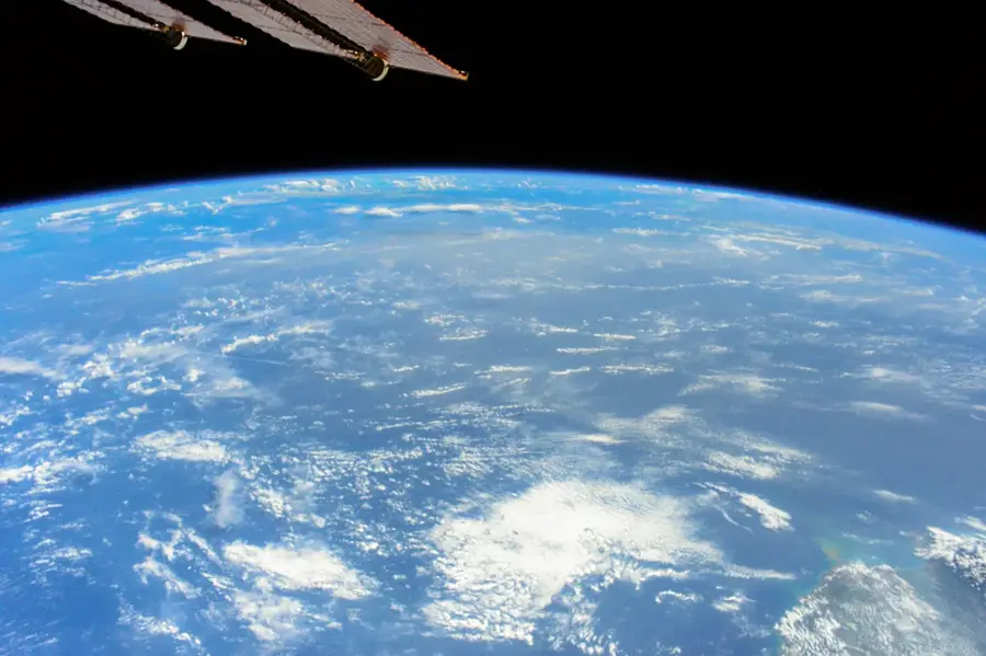
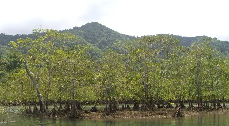
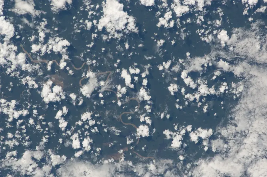
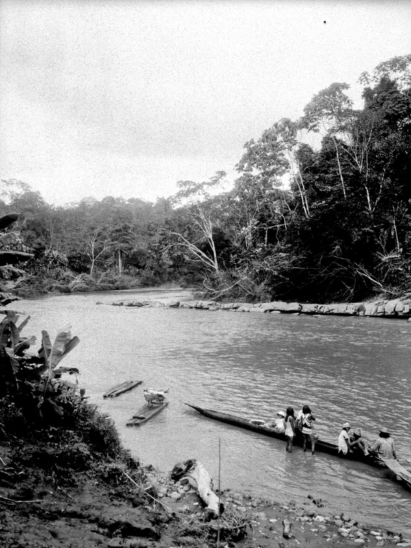
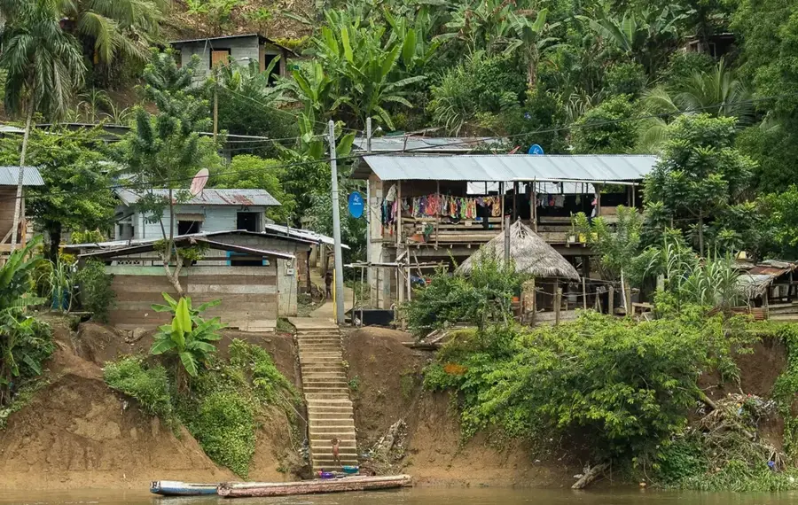
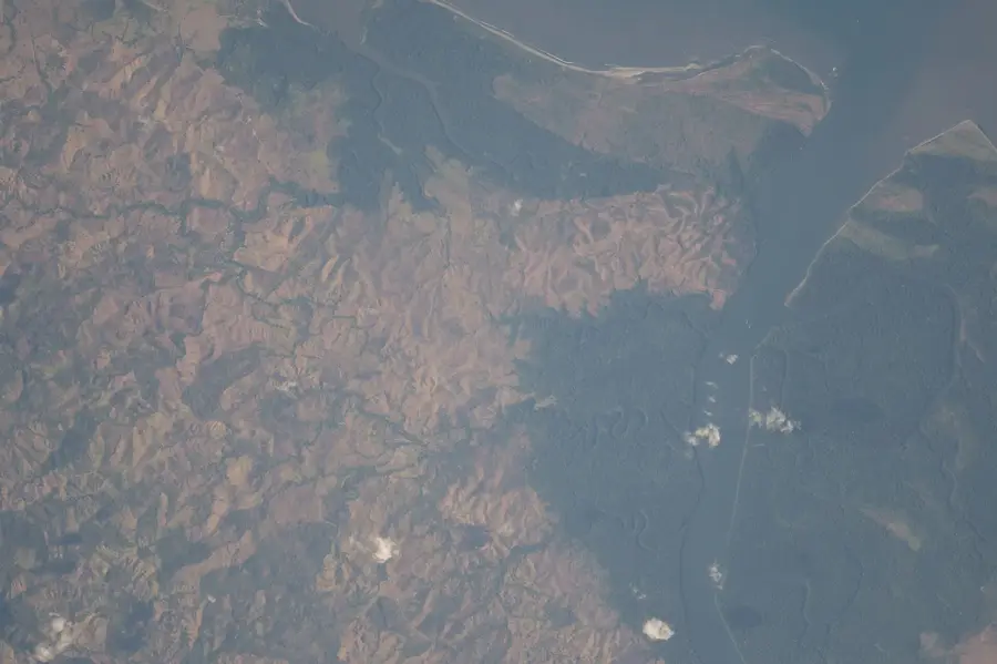
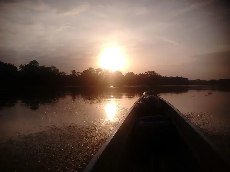
The Serranía del Darién is a mountain range on the border between Colombia and Panama, representing the northernmost extension of the Andes. It separates the Atrato River basin from the Pacific coastal plains and hosts an extraordinary biological diversity. The highest point of the range is Cerro Tacarcuna, reaching an elevation of 1,875 meters above sea level. Geologically, the chain consists mainly of volcanic rocks from the Cretaceous and Tertiary periods. The region is characterized by dense tropical rainforests that serve as a biological bridge between North and South America. Due to the extremely humid climate and challenging terrain, the area remains largely undeveloped and is known for the Darién Gap, where the Pan-American Highway is interrupted. Protected areas such as Los Katíos National Park preserve the unique local ecosystems from human interference.
- Location: Colombia
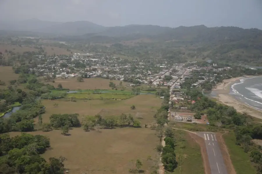
- Nearby: Acandí (13 km)
Best time to visit & climate
The most pleasant time to visit is Jan–Mar.
| Jan | Feb | Mar | Apr | May | Jun | Jul | Aug | Sep | Oct | Nov | Dec | |
|---|---|---|---|---|---|---|---|---|---|---|---|---|
| Avg °C | 25 | 26 | 27 | 26 | 25 | 25 | 25 | 25 | 25 | 24 | 24 | 25 |
| Rain mm | 81 | 39 | 99 | 223 | 288 | 262 | 270 | 244 | 270 | 251 | 254 | 196 |
📋 Practical info
Geography
Facts
- Cerro Tacarcuna is the highest peak of the range at 1,875 meters.
- The region is part of the 72,000-hectare Los Katíos National Park.
- Annual precipitation can exceed 5,000 mm in some areas of the range.
- Geologically, basalts and andesites from the late Cretaceous dominate.
- The Darién Gap interrupts the Pan-American Highway for about 106 km.
- The mountain range formed through the collision of the Panama plate and South America.
Explore nearby
Notable places around
Route planner — Car & Motorhome
Where do you start? We build the route here, with stops and country notes along the way.
© OpenStreetMap contributors · OpenRouteService
Sights nearby
Frequently asked questions
Where is Serranía del Darién located?
Are there roads there?
What is the vegetation like?
Is the region safe?
What is its importance for animals?
Serranía del Darién: where is it located?
Serranía del Darién: when is the best time to visit?
Serranía del Darién: why is it worth visiting?

Nearby cities
History & landmarks
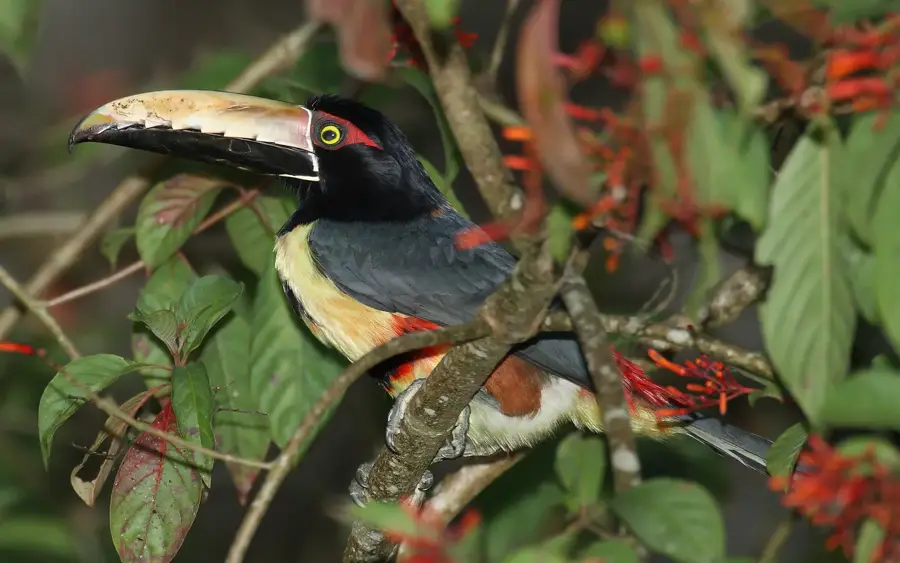
Nature
More places