Plizio Visual Lab
Mount Everest
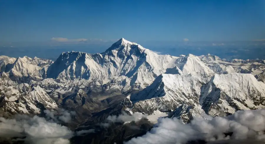
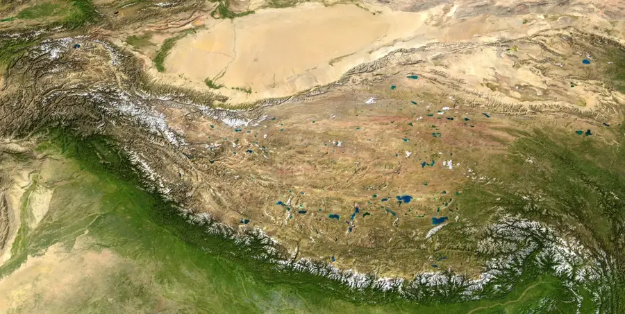
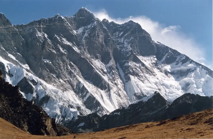
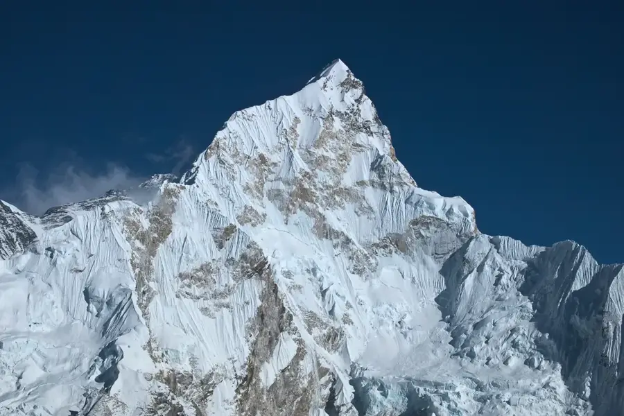
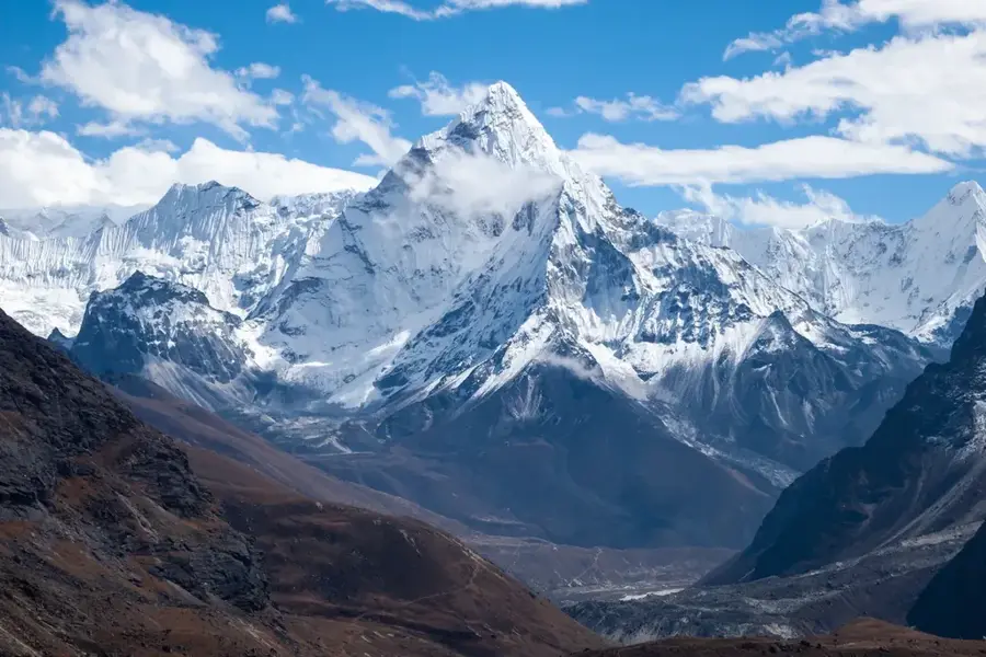
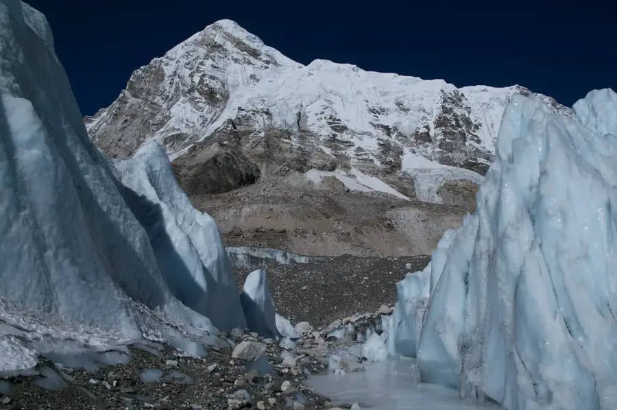
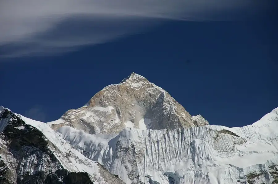
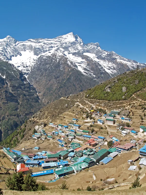
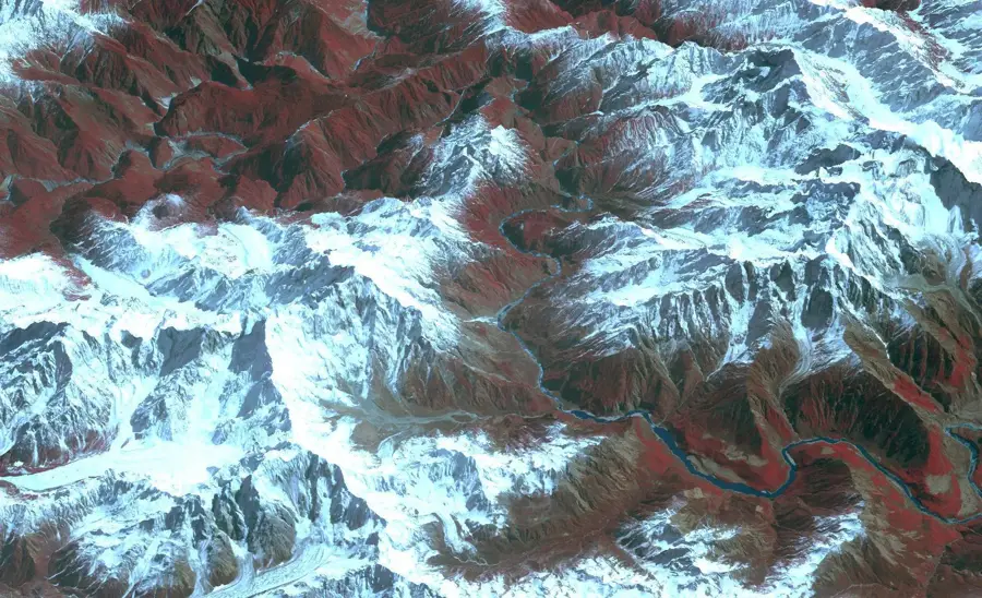
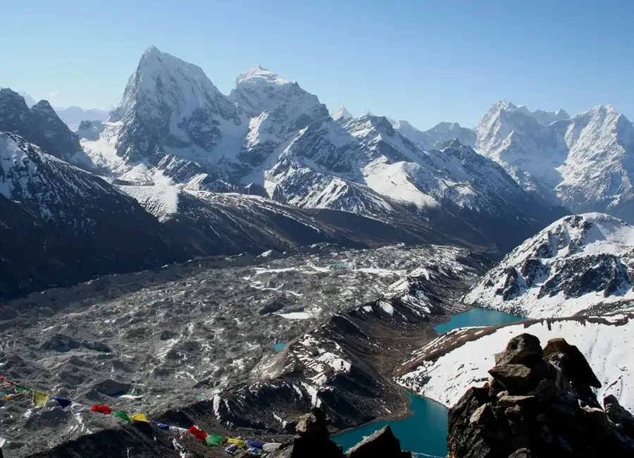
Mount Everest, known as Qomolangma in Tibet and Sagarmatha in Nepal, is the highest peak on Earth with an officially recognized elevation of 8,848.86 meters. It is part of the Mahalangur Himal sub-range of the Himalayas, situated directly on the border between China and Nepal. The mountain's structure consists primarily of metamorphic rocks like schist and marble, topped by Ordovician limestone containing ancient marine fossils. Due to the ongoing collision of the Indian and Eurasian tectonic plates, the peak continues to rise by approximately 4 millimeters each year. The first successful ascent was recorded on May 29, 1953, by Sir Edmund Hillary and Tenzing Norgay. Climbing Everest remains one of the ultimate mountaineering challenges, particularly within the 'Death Zone' above 8,000 meters, where supplemental oxygen is usually required for survival.
- Location: China
- Top sights: Kartse · Khartaphu · Everest South Peak
Best time to visit & climate
The most pleasant time to visit is May, Jun, Sep.
| Jan | Feb | Mar | Apr | May | Jun | Jul | Aug | Sep | Oct | Nov | Dec | |
|---|---|---|---|---|---|---|---|---|---|---|---|---|
| Avg °C | -12 | -11 | -8 | -3 | 0 | 4 | 6 | 5 | 3 | -2 | -6 | -10 |
| Rain mm | 4 | 7 | 11 | 19 | 47 | 70 | 164 | 145 | 76 | 19 | 2 | 3 |
📋 Practical info
Geography
Facts
- The official height is 8,848.86 meters, as jointly agreed by Nepal and China.
- The peak rises about 4 millimeters annually due to tectonic plate activity.
- The first confirmed ascent was achieved on May 29, 1953, by Hillary and Norgay.
- Wind speeds at the summit can exceed 280 kilometers per hour (175 mph).
- Junko Tabei became the first woman to reach the summit on May 16, 1975.
- The mountain was named after Sir George Everest, a British Surveyor General.
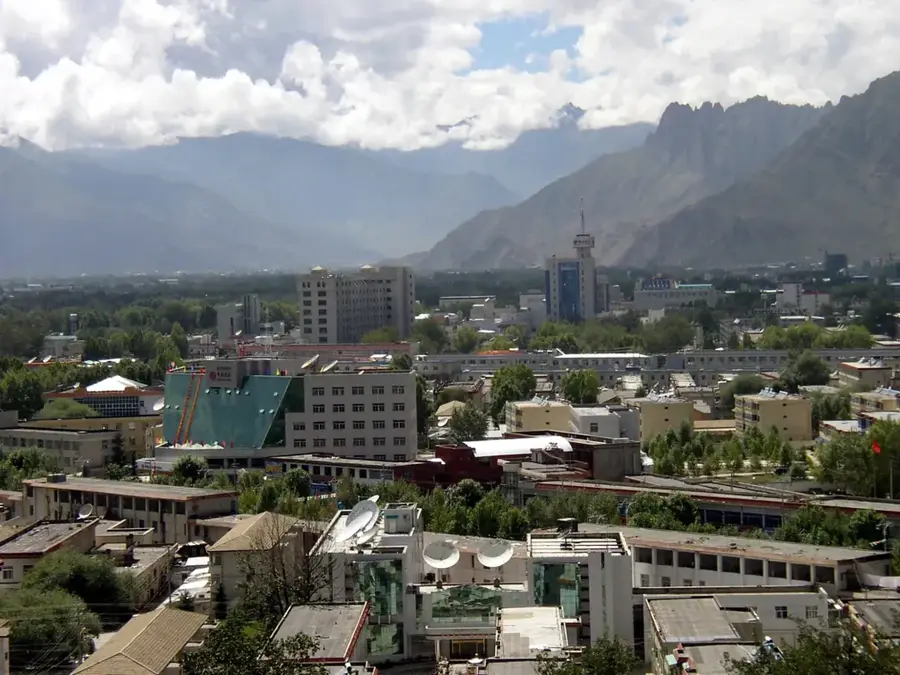
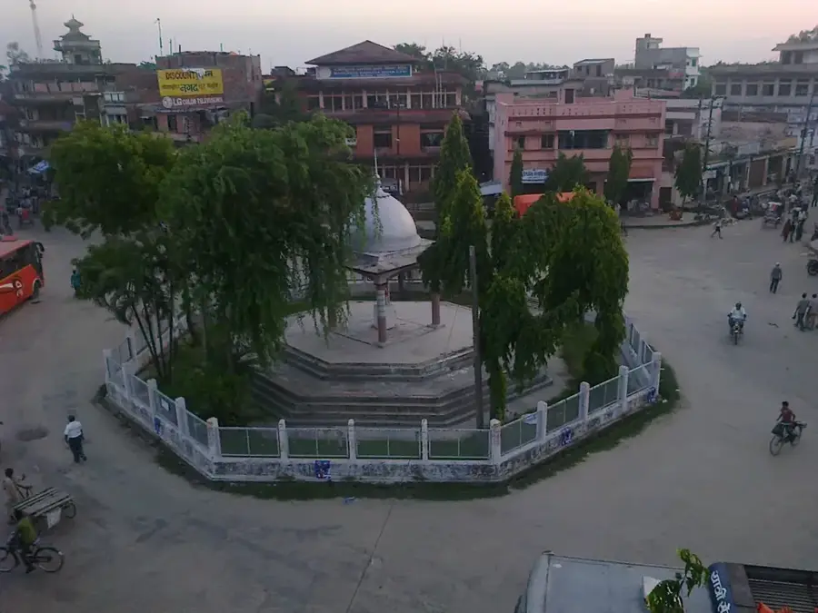
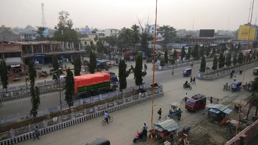
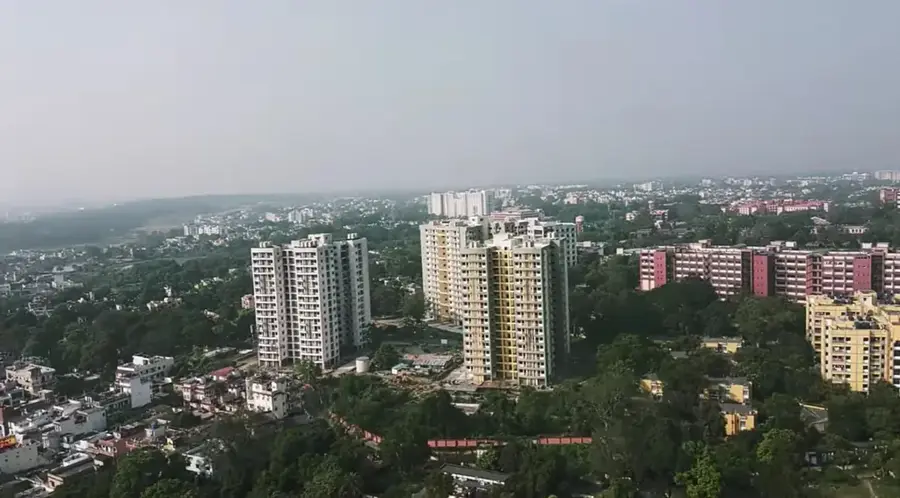
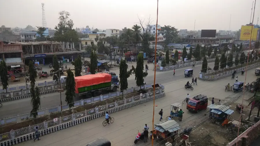
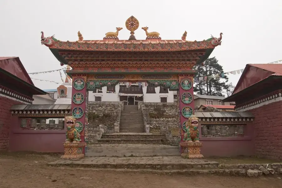
Explore nearby
Notable places around
Route planner — Car & Motorhome
Where do you start? We build the route here, with stops and country notes along the way.
© OpenStreetMap contributors · OpenRouteService
Sights in the town Mount Everest (3)
Sights nearby
Frequently asked questions
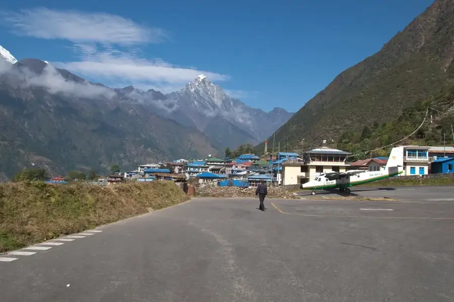
How do you reach the Base Camp?
Is a Tibet travel permit required?
When is the weather most stable?
Are there hotels there?
How high is the Base Camp?
Mount Everest: where is it located?
Mount Everest: what is there to see?
Mount Everest: when is the best time to visit?
Mount Everest: why is it worth visiting?

Nearby cities
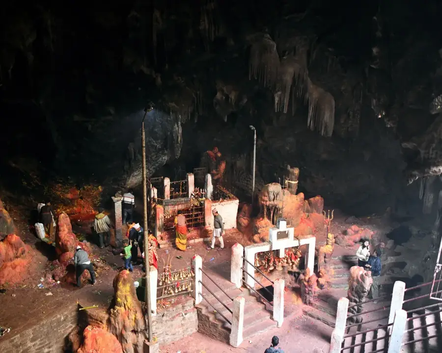
History & landmarks
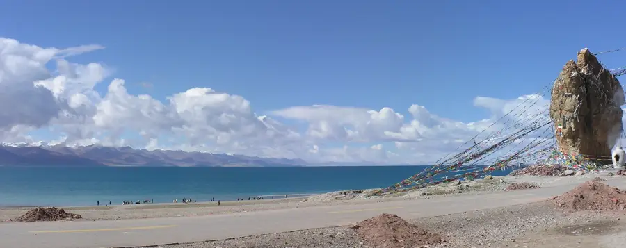
Nature
More places