Plizio Visual Lab
Mwaro
ℹ️Practical info — Mwaro
▾
🌤 Weather — 5 days
📍 Nearby
Sights nearby
💡 Tips
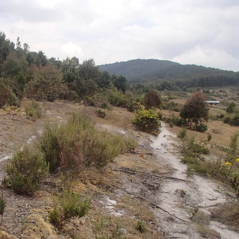
- A visit to the sacred Agasumo ka Mwaro waterfalls is a must for understanding local cultural history.
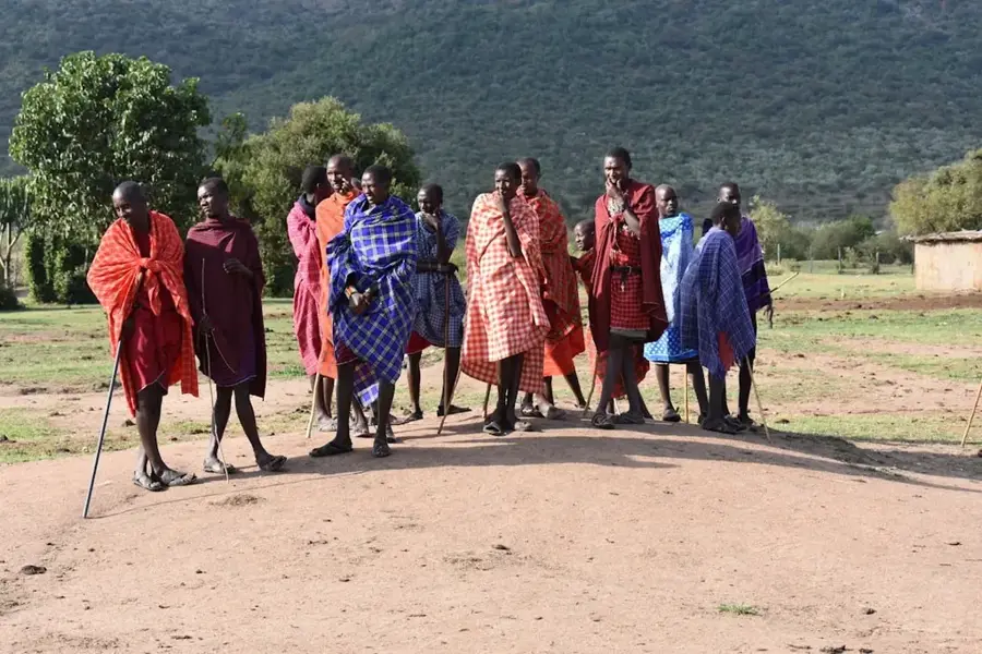
- Always ask for permission respectfully before photographing rural shrines or traditional rituals.
- The highland dirt roads can become extremely slippery and impassable after heavy rain.
- Enjoy the crisp, cool air, but bring a warm jacket for the chilly evenings.
- Local transport operates mainly in the mornings; plan your onward travel early in the day.
🍽 Food
Mwaro is an agricultural highland; try the fresh local dairy products at small shops.
Warm up in the cool climate with a cup of robust black tea heavily mixed with fresh milk.
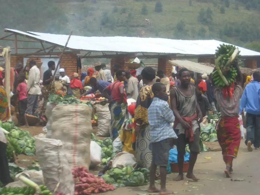
A fantastic, cheap street snack found at roadside vendors near the market.
🛍 Shopping · 🧘 Quiet spots
Look for traditional artisanal mats sold at the local market, excellent for picnics.
Buy incredibly fresh cabbages and root vegetables directly from the local growers.
The sacred waterfalls offer a deeply serene atmosphere surrounded by untouched nature.
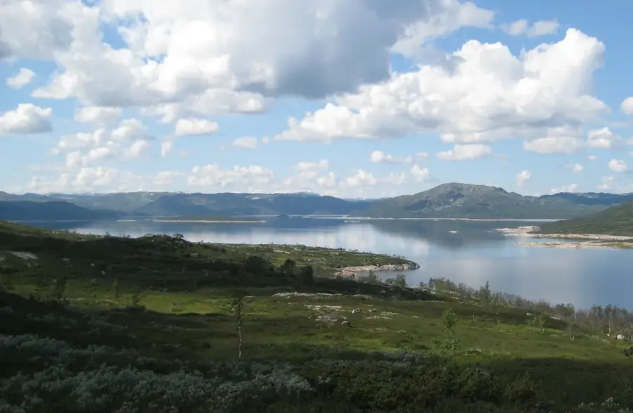
Walk along the lush, green rolling hills of the province's tea estates.
Water temperature…
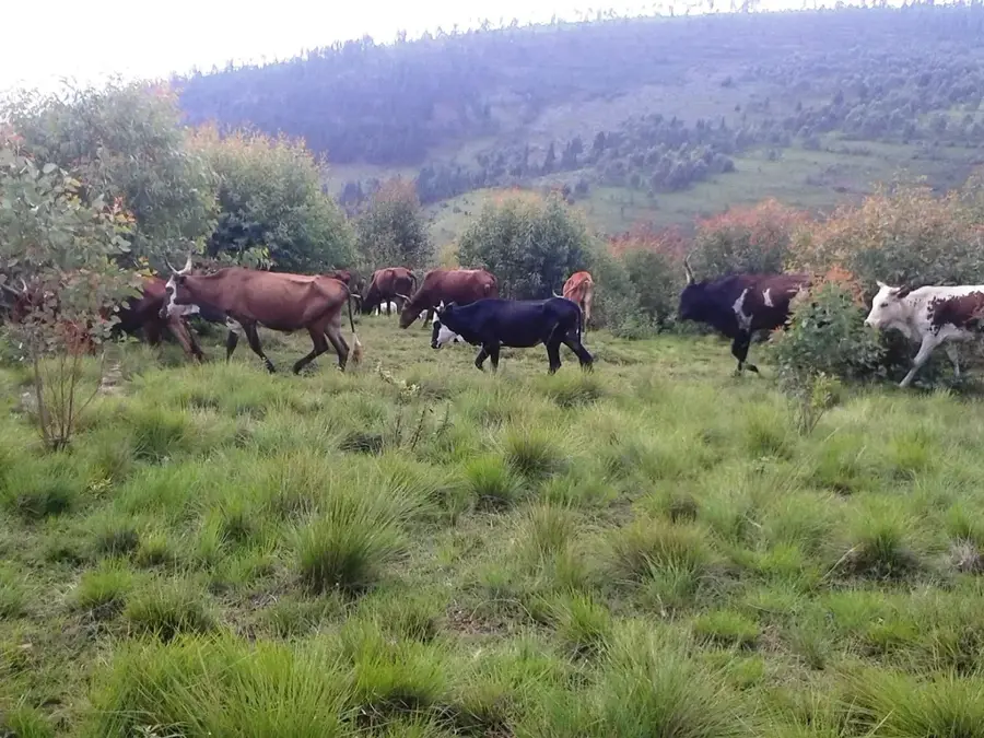
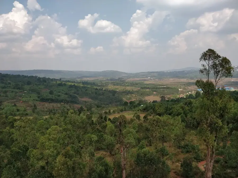
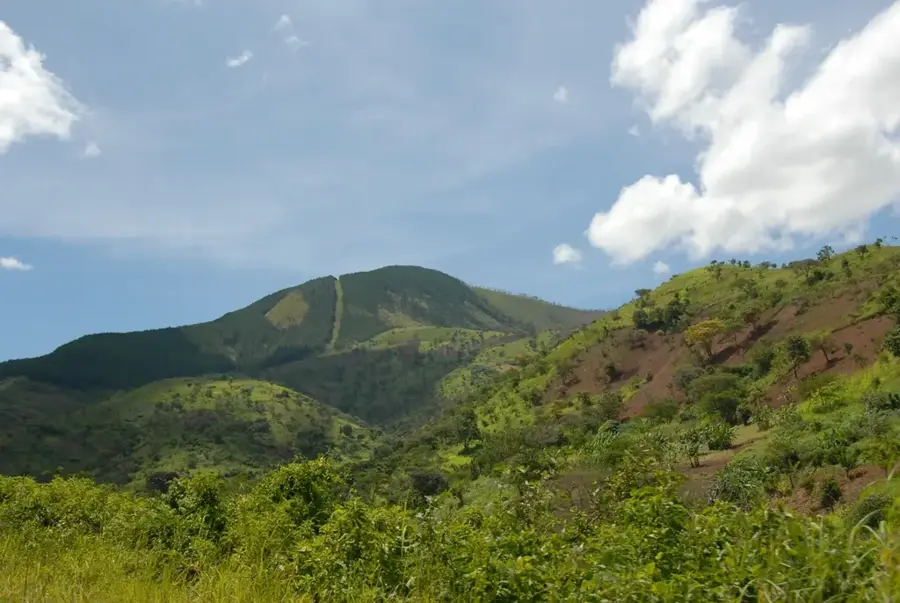
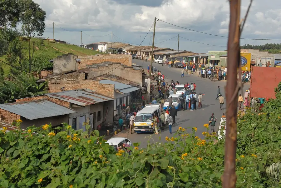
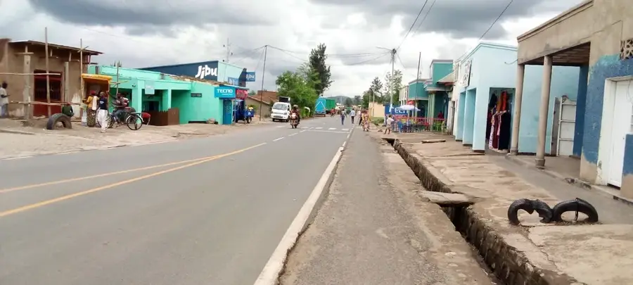
Mwaro is the administrative capital of Mwaro Province, situated in the central highlands of Burundi at an impressive altitude of around 2,000 meters above sea level. The region is characterized by its cool, temperate climate and rolling hills, providing excellent conditions for the cultivation of premium tea and Arabica coffee. Located nearby are the Agasumo ka Mwaro waterfalls, which hold deep cultural and spiritual significance as traditional sacred sites for the Burundian people. Historically, this area was a focal point for indigenous religious practices, particularly those involving the veneration of ancestral spirits. Modern Mwaro has evolved into an educational hub with the establishment of the University of Mwaro, serving the youth of the central provinces. The town functions primarily as a service center for the surrounding agrarian society, housing government offices and essential health clinics. Its location provides vital road connections between the political capital Gitega and the historic town of Muramvya.
- Location: Burundi
- Top sights: Mwaro Province · Gihinga Refugee Camp
- Nearby: Gisozi (5 km)
- Population: ~3.718 (2026)
Best time to visit & climate
The most pleasant time to visit is Jun–Aug.
| Jan | Feb | Mar | Apr | May | Jun | Jul | Aug | Sep | Oct | Nov | Dec | |
|---|---|---|---|---|---|---|---|---|---|---|---|---|
| Avg °C | 21 | 22 | 22 | 21 | 21 | 20 | 20 | 21 | 22 | 22 | 21 | 21 |
| Rain mm | 202 | 168 | 219 | 213 | 94 | 29 | 15 | 42 | 94 | 172 | 341 | 219 |
Geography
Facts
- Administrative center of Mwaro Province in central Burundi.
- Elevated at approximately 2,000 meters above sea level.
- Proximity to the sacred Agasumo ka Mwaro waterfalls.
- Home to the University of Mwaro, an important local institution.
- Key region for high-altitude tea and coffee plantations.
- Significant site for traditional Burundian spiritual history.
Explore nearby
Notable places around
Route planner — Car & Motorhome
Where do you start? We build the route here, with stops and country notes along the way.
© OpenStreetMap contributors · OpenRouteService
Sights in the town Mwaro (2)
Frequently asked questions
What is the most famous sight in Mwaro?
Is Mwaro a religious place?
What can you do in the nature of Mwaro?
What is the climate like in Mwaro?
Which products are typical of Mwaro?
Mwaro: where is it located?
Mwaro: what is there to see?
Mwaro: when is the best time to visit?
Mwaro: why is it worth visiting?

Nearby cities

History & landmarks
Nature
More places