Plizio Visual Lab
Diapaga Plateau

Weather…
Water temperature…
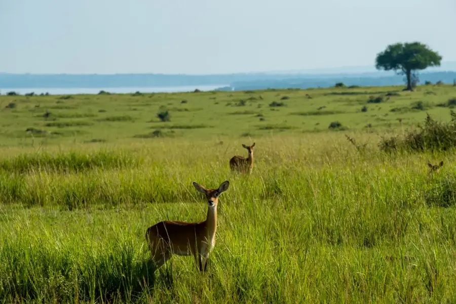
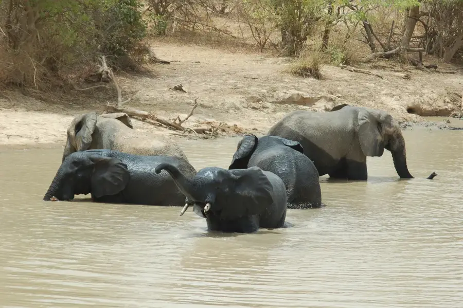
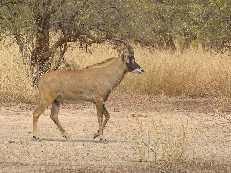
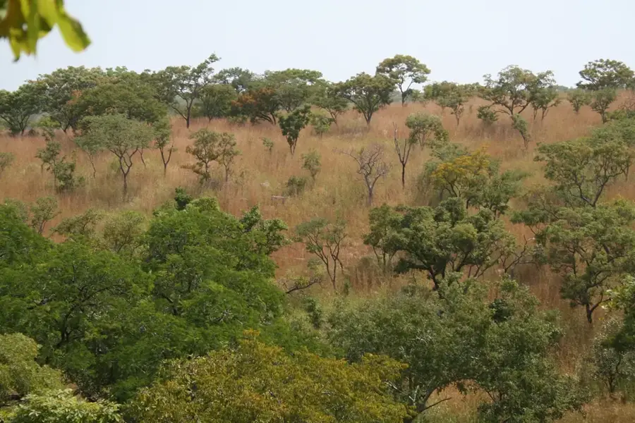
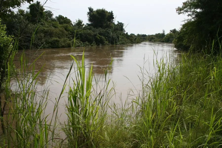
The Diapaga Plateau is located in the extreme east of Burkina Faso in the Tapoa province and forms part of the geologically prominent Atakora range. The region is characterized by impressive sandstone cliffs and rugged escarpments reaching elevations of up to 400 meters. This plateau is a strategic starting point for visiting W National Park and Arly National Park, which are among West Africa's most significant wildlife reserves. The relief provides spectacular views and is characterized by the Gobnangou range, which stretches for over 80 kilometers across the landscape. The vegetation consists of dry tree savanna providing habitat for elephants, lions, and various antelope species. Historically, the plateau was an important refuge for the Gourmanché people during regional conflicts. Soils on the plateau are lean, yet the valleys offer enough fertility for growing cereals and legumes. The isolation of the region has contributed to the preservation of a very pristine natural landscape.
Best time to visit & climate
The most pleasant time to visit is Jan, Nov, Dec.
| Jan | Feb | Mar | Apr | May | Jun | Jul | Aug | Sep | Oct | Nov | Dec | |
|---|---|---|---|---|---|---|---|---|---|---|---|---|
| Avg °C | 24 | 28 | 31 | 33 | 31 | 29 | 27 | 26 | 26 | 27 | 27 | 25 |
| Rain mm | 0 | 2 | 5 | 35 | 69 | 106 | 163 | 213 | 138 | 52 | 3 | 0 |
📋 Practical info
Geography
Facts
- Part of the Atakora mountain range
- Gobnangou cliffs over 80km long
- Gateway to Arly National Park
- Elevations up to 400m
- Important refuge for big game
- Sandstone geology
Explore nearby
Notable places around
Route planner — Car & Motorhome
Where do you start? We build the route here, with stops and country notes along the way.
© OpenStreetMap contributors · OpenRouteService
Sights in the town Diapaga Plateau (1)
Sights nearby
Frequently asked questions
Where is the Diapaga Plateau located?
Is there much nature there?
What is the terrain like?
What languages are spoken there?
Are the roads accessible?
Diapaga Plateau: where is it located?
Diapaga Plateau: when is the best time to visit?
Diapaga Plateau: why is it worth visiting?

Nearby cities
History & landmarks
More places