Plizio Visual Lab
Atakora Mountains

Weather…
Water temperature…
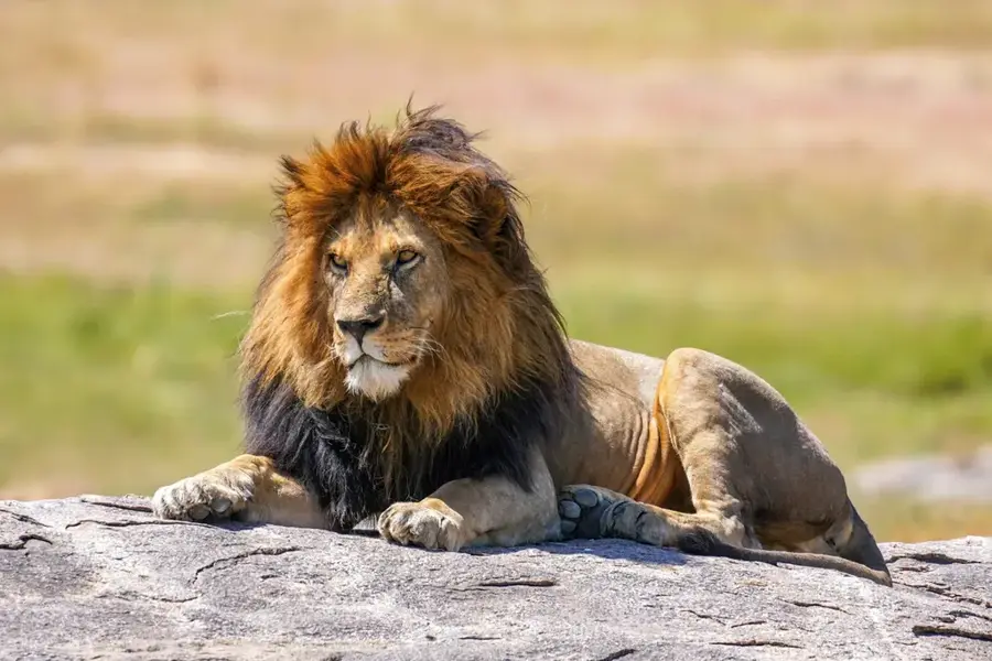
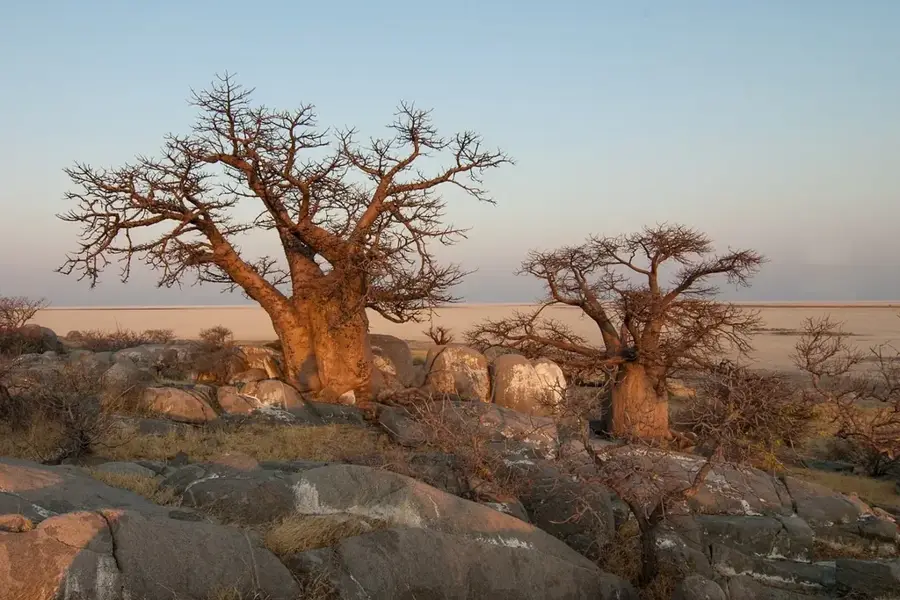
The Atakora Mountains, also known as the Chaîne de l'Atacora, are a prominent mountain range extending from northern Togo through northwestern Benin into southwestern Burkina Faso. In Benin, this range contains the highest elevations in the country and significantly influences the climate and hydrography of the entire region. The mountains consist primarily of quartzite and sandstone, reaching average heights between 400 and 600 meters. They form the watershed for major rivers such as the Pendjari and the Ouémé. The rugged landscape is characterized by deep valleys, waterfalls like the Kota Falls, and savannah vegetation that provides a sanctuary for many endangered species. The region is also culturally significant as the home of the Somba (Batammariba) people, famous for their unique 'Tata Somba', fortress-like mud houses that blend harmoniously into the mountainous terrain.
Best time to visit & climate
The most pleasant time to visit is Jan, Nov, Dec.
| Jan | Feb | Mar | Apr | May | Jun | Jul | Aug | Sep | Oct | Nov | Dec | |
|---|---|---|---|---|---|---|---|---|---|---|---|---|
| Avg °C | 25 | 28 | 31 | 31 | 30 | 28 | 26 | 26 | 26 | 27 | 27 | 25 |
| Rain mm | 1 | 4 | 10 | 56 | 100 | 156 | 220 | 268 | 197 | 83 | 6 | 0 |
📋 Practical info
Geography
Facts
- Highest mountain range in Benin
- Composed of quartzite and sandstone
- Source of the Pendjari River
- Home to Tata Somba houses
- Average height 400-600 m
- Stretches across three countries
Explore nearby
Notable places around
Route planner — Car & Motorhome
Where do you start? We build the route here, with stops and country notes along the way.
© OpenStreetMap contributors · OpenRouteService
Sights nearby
Frequently asked questions
How high are the Atakora Mountains?
Can you go hiking in the Atakora Mountains?
Which ethnic group lives in this region?
Are there waterfalls in the mountains?
When should you visit the mountains?
Atakora Mountains: where is it located?
Atakora Mountains: when is the best time to visit?
Atakora Mountains: why is it worth visiting?

Nearby cities
History & landmarks
Nature

More places