Plizio Visual Lab
Maritsa River
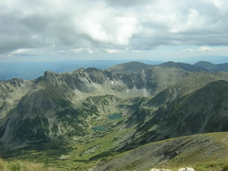
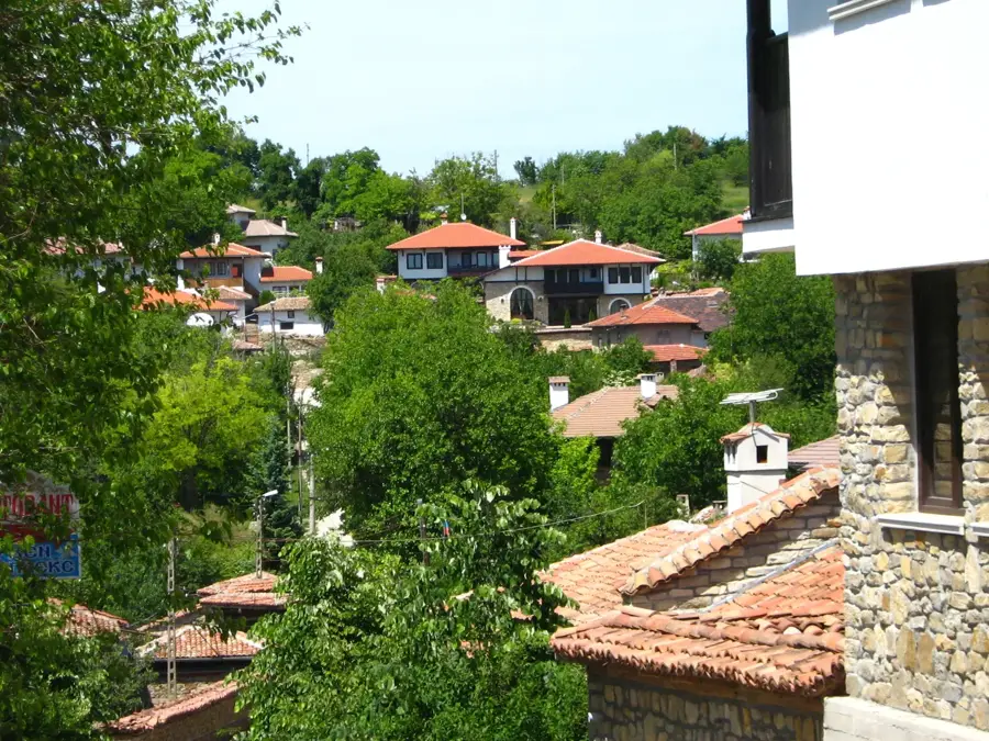
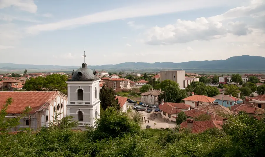
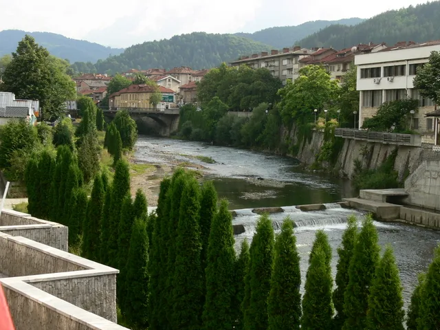
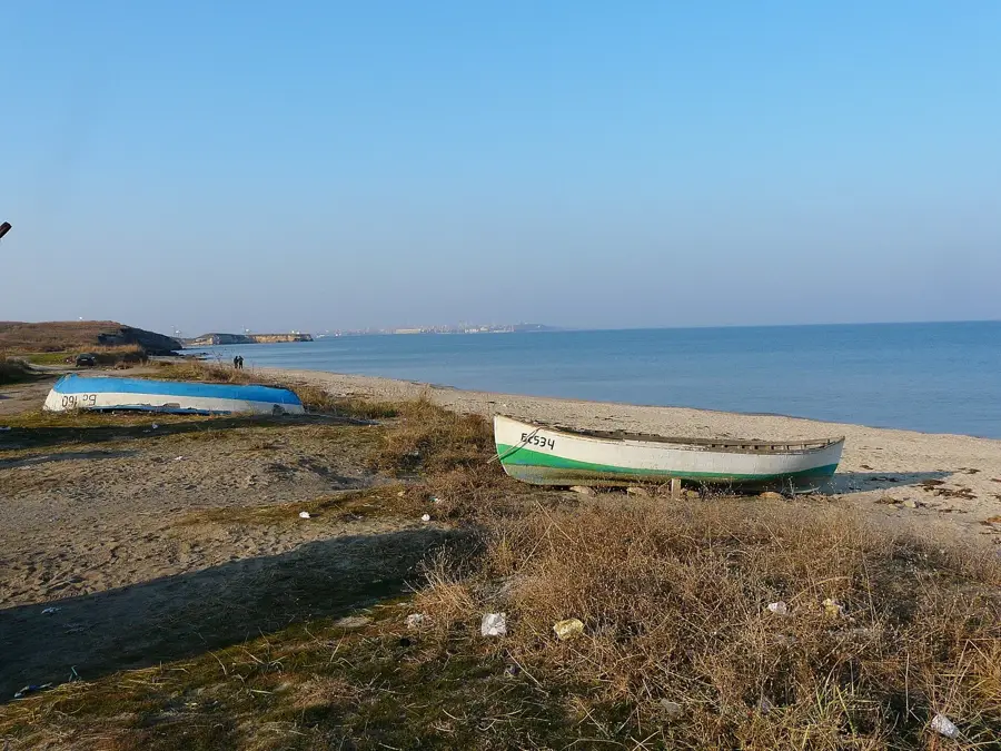
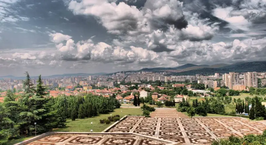
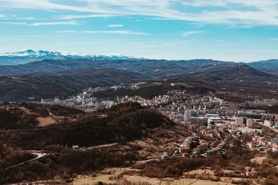
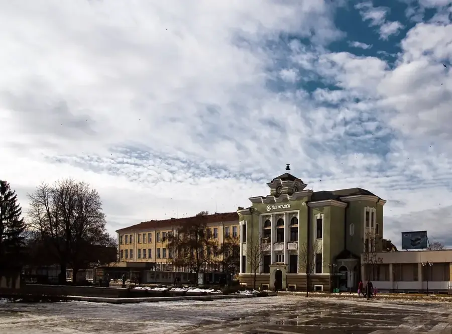
The Maritsa River is one of the most significant and water-rich rivers in the Balkan Peninsula, spanning a total length of 480 kilometers across Bulgaria, Greece, and Turkey. It originates at the Marichini Lakes in the Rila Mountains at an altitude of 2,378 meters, flowing eastward through the vast Upper Thracian Plain. The river passes through major historical cities like Plovdiv, significantly influencing local urban development and climate. In its lower reaches, the Maritsa serves as a natural border between Bulgaria, Greece, and Turkey before emptying into the Aegean Sea. Known as the Hebrus in antiquity, it was a vital trade route and a site of numerous historical battles and settlements. The fertile valley it irrigates is Bulgaria's primary agricultural hub, supporting intensive crops of rice, fruit, and vineyards. Ecologically, the river's riparian forests and wetlands serve as a critical migratory corridor for birds and a sanctuary for diverse freshwater species.
- Location: Bulgaria
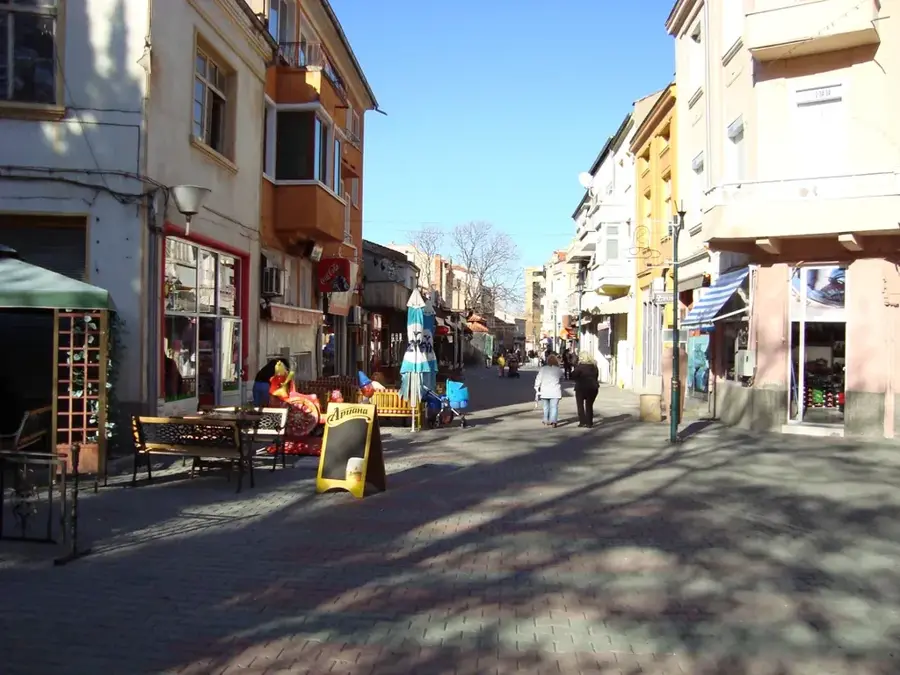
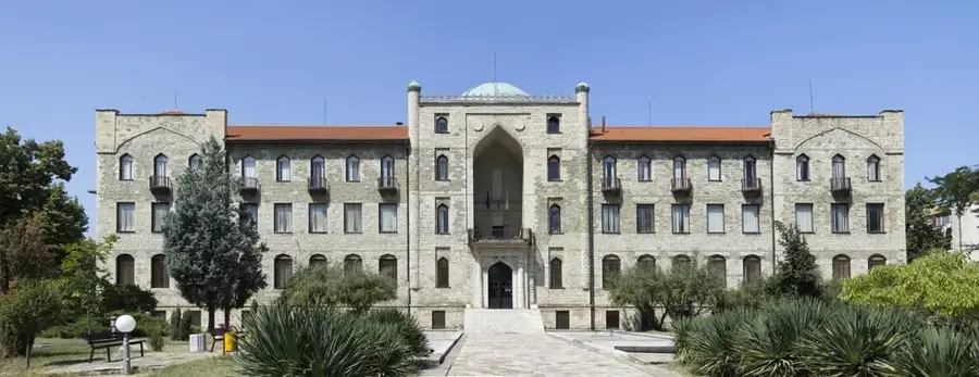
- Top sights: Sultan II.Beyazıd Külliyesi ve Sağlık Müzesi · Eski Kadın Höyüğü · Çardaklı/Eski Değirmen Yolu
- Nearby: Svilengrad (26 km)
Best time to visit & climate
The most pleasant time to visit is Jun, Aug, Sep.
| Jan | Feb | Mar | Apr | May | Jun | Jul | Aug | Sep | Oct | Nov | Dec | |
|---|---|---|---|---|---|---|---|---|---|---|---|---|
| Avg °C | 2 | 4 | 7 | 12 | 17 | 23 | 26 | 26 | 21 | 14 | 9 | 4 |
| Rain mm | 74 | 55 | 52 | 41 | 52 | 50 | 37 | 17 | 46 | 65 | 55 | 70 |
📋 Practical info
Geography
Facts
- The Maritsa River flows for a total of 480 kilometers.
- It originates at an elevation of 2,378 meters in the Rila Mountains.
- A stretch of 322 kilometers of the river is within Bulgarian borders.
- In ancient times, the river was famously known as the Hebrus.
- The river flows into the Aegean Sea near the Turkish town of Enez.
- The total drainage basin of the Maritsa covers 53,000 square kilometers.
Explore nearby
Notable places around
Route planner — Car & Motorhome
Where do you start? We build the route here, with stops and country notes along the way.
© OpenStreetMap contributors · OpenRouteService
Sights in the town Maritsa River (9)
Sights nearby
Frequently asked questions
Where does the Maritsa River originate?
Is the Maritsa navigable?
Which major cities are located along the Maritsa?
Which sea does the river flow into?
What wildlife can be found along the river?
Maritsa River: where is it located?
Maritsa River: what is there to see?
Maritsa River: when is the best time to visit?
Maritsa River: why is it worth visiting?

Nearby cities
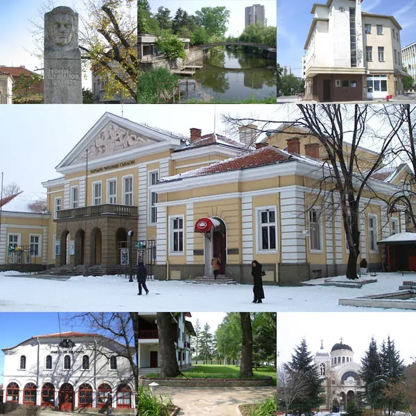


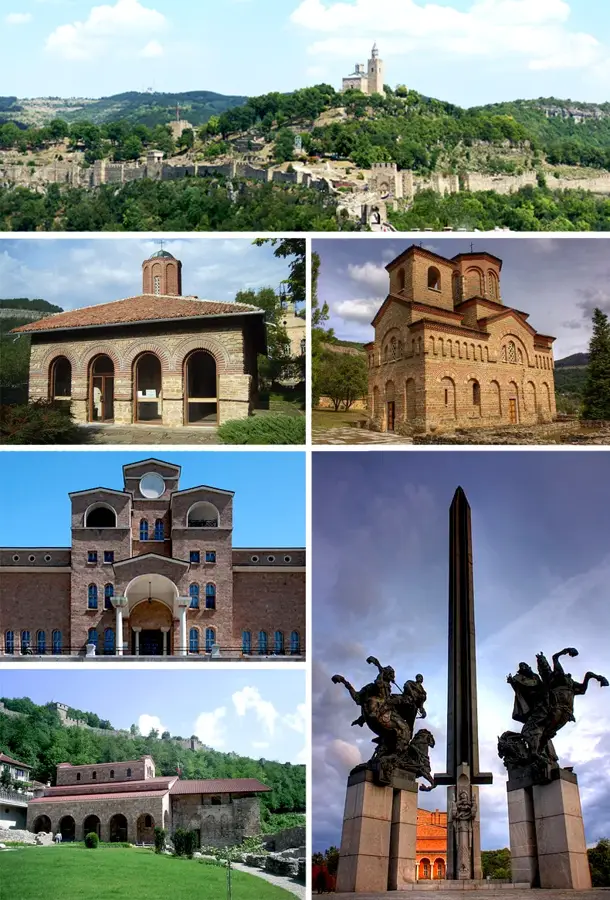
History & landmarks