Plizio Visual Lab
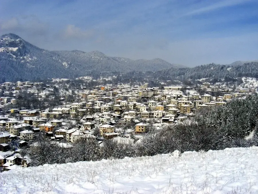
Sakar Mountains

Weather…
Water temperature…
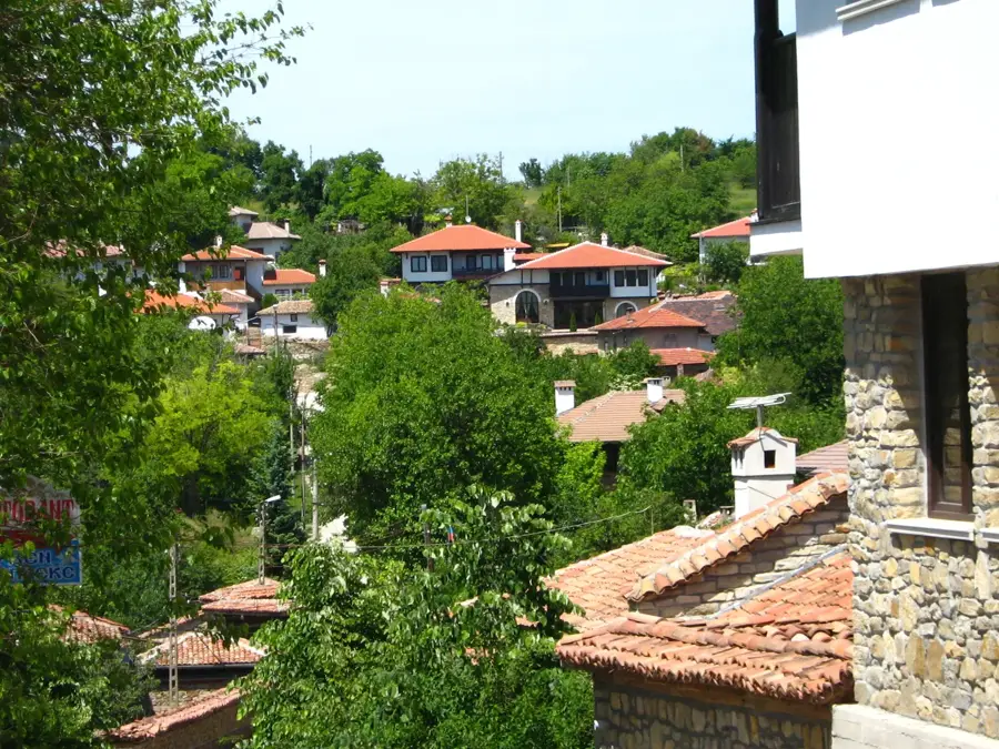
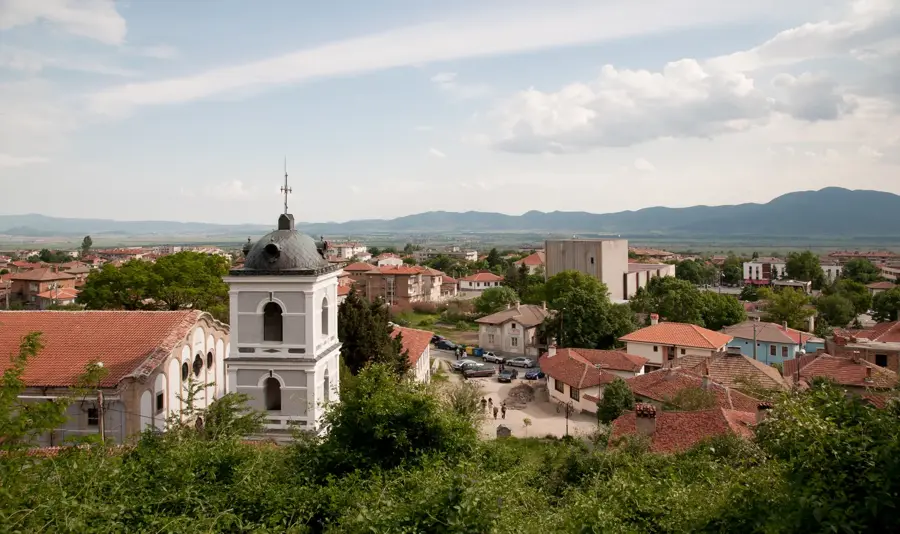
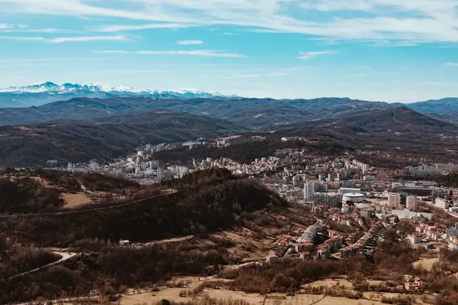
The Sakar Mountains are a gently rolling range of medium-high hills located in southeastern Bulgaria, near the borders with Turkey and Greece. Geologically, the massif is a horst structure composed primarily of granite and metamorphic rocks, with Vishegrad being its highest peak at 856 meters. The range is characterized by rounded summits and wide valleys that experience a transitional climate with significant Mediterranean influences. Sakar is historically famous for its megalithic monuments, particularly early Iron Age dolmens that provide evidence of ancient Thracian inhabitants. The region is also a prominent wine-growing area, renowned for high-quality red wines that thrive in the specific soil conditions and sunny weather. Ecologically, Sakar is of international importance for the conservation of endangered birds of prey, such as the Eastern Imperial Eagle. The sparse population and expansive open landscapes have helped preserve an authentic natural environment, making it an appealing destination for both hikers and history enthusiasts seeking to explore Bulgaria's ancient heritage.
- Location: Bulgaria
- Nearby: Topolovgrad (18 km)
Best time to visit & climate
The most pleasant time to visit is Jun, Aug, Sep.
| Jan | Feb | Mar | Apr | May | Jun | Jul | Aug | Sep | Oct | Nov | Dec | |
|---|---|---|---|---|---|---|---|---|---|---|---|---|
| Avg °C | 1 | 3 | 7 | 11 | 17 | 22 | 25 | 25 | 20 | 13 | 8 | 2 |
| Rain mm | 67 | 49 | 50 | 41 | 57 | 58 | 47 | 24 | 50 | 62 | 48 | 65 |
📋 Practical info
Geography
Facts
- Vishegrad is the highest point of the Sakar Mountains at 856 meters.
- Over 100 megalithic dolmens have been identified throughout the region.
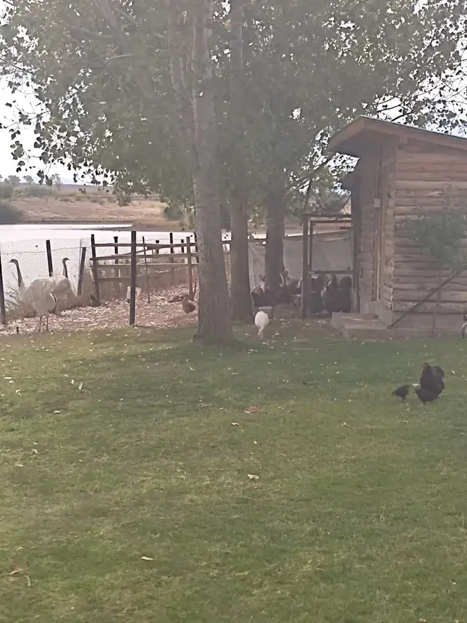
- Sakar holds one of the largest populations of Eastern Imperial Eagles in Bulgaria.
- The mountain range is bounded to the east by the Tundzha River.
- A total of 75 different species of birds of prey have been documented in the area.
- Wine production in Sakar has a continuous tradition spanning over 2,000 years.
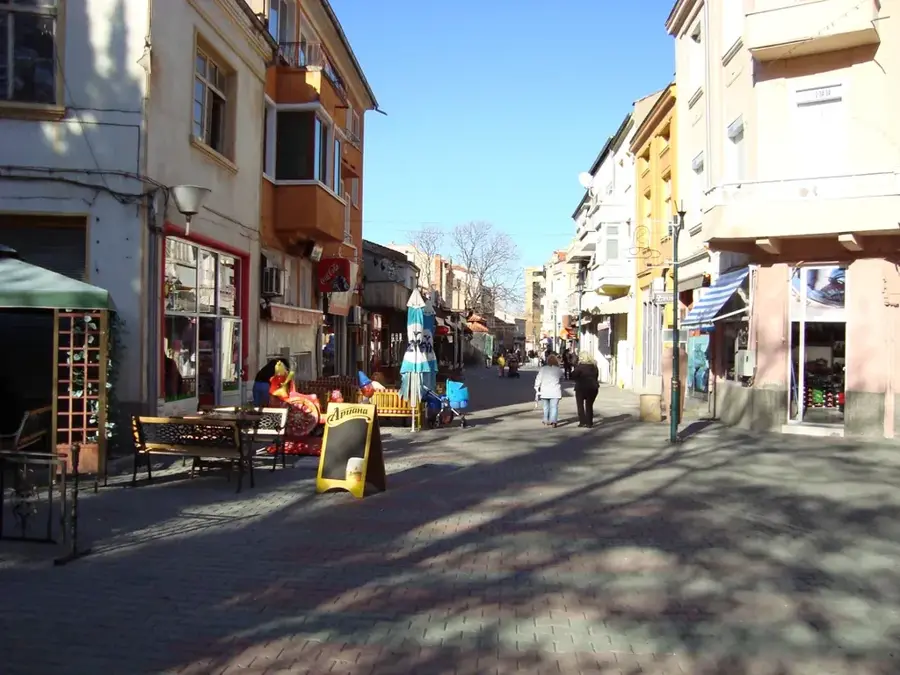
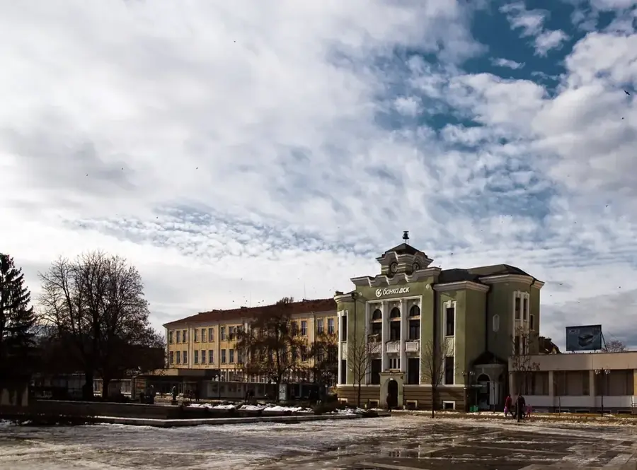
Explore nearby
Notable places around
Route planner — Car & Motorhome
Where do you start? We build the route here, with stops and country notes along the way.
© OpenStreetMap contributors · OpenRouteService
Sights nearby
Frequently asked questions
How high are the Sakar Mountains?
What is the Sakar region known for?
Are there Thracian monuments there?
How is the climate in Sakar?
What birds can be seen here?
Sakar Mountains: where is it located?
Sakar Mountains: when is the best time to visit?
Sakar Mountains: why is it worth visiting?

Nearby cities
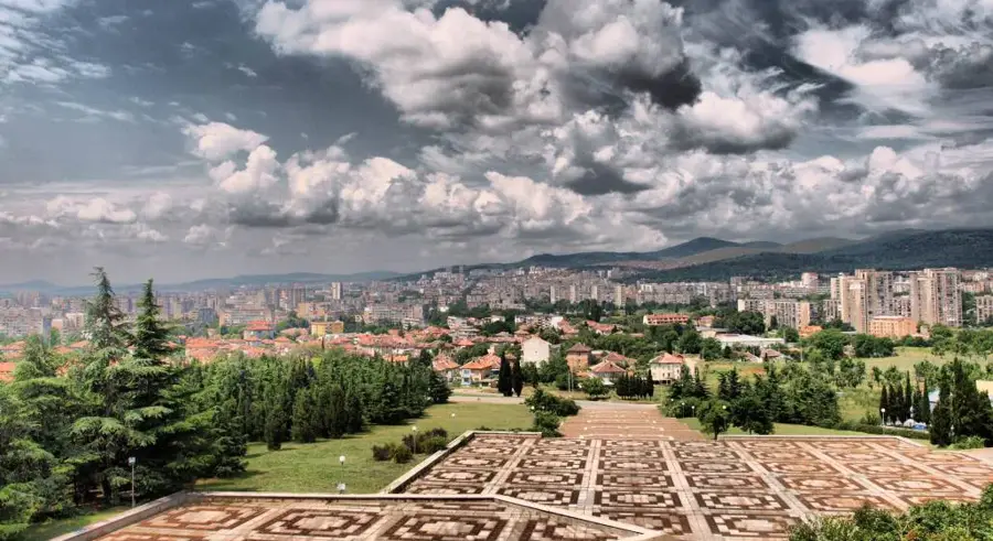
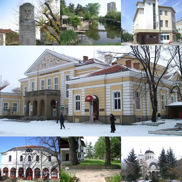


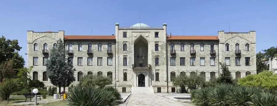
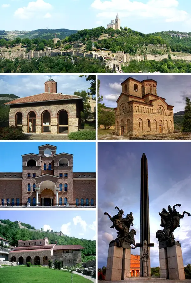
History & landmarks