Plizio Visual Lab
Kuala Belait Port
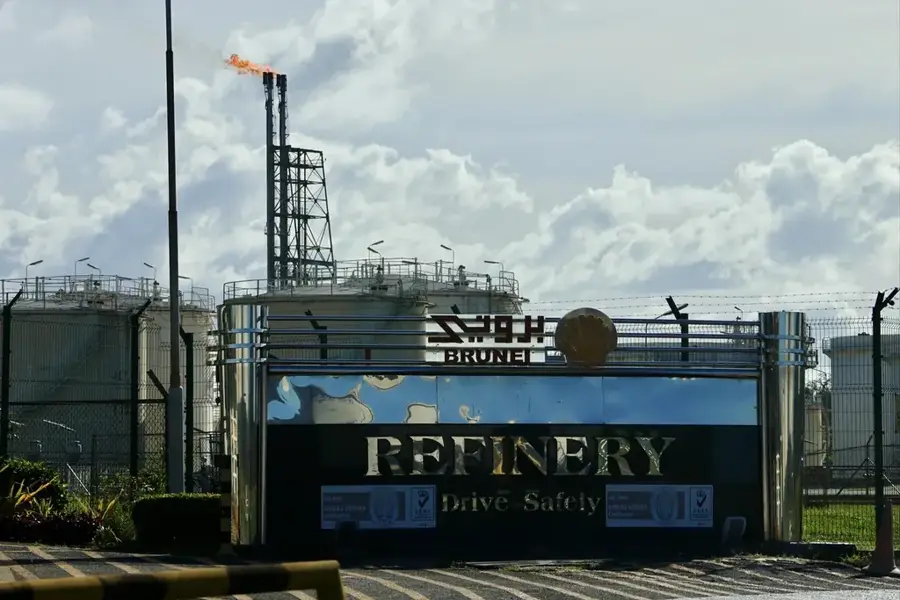
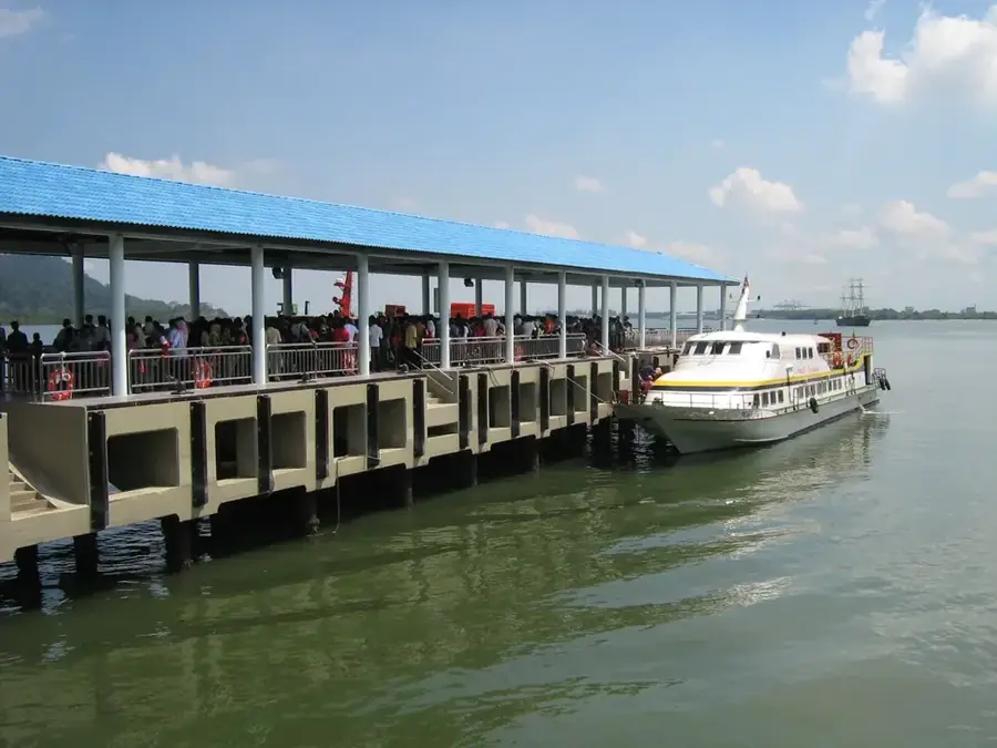
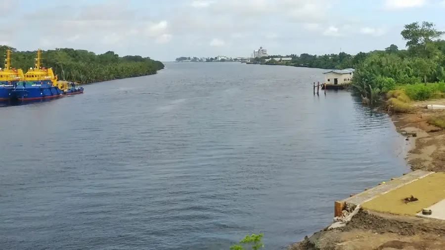
Kuala Belait Port, situated at the mouth of the Belait River, primarily serves as a logistical and supply base for Brunei's offshore oil and gas industry. Due to its shallow draft, caused by a sandbar at the river mouth, the port cannot accommodate large ocean-going vessels. Instead, it specializes in handling supply vessels, barges, and smaller cargo ships that service offshore platforms and installations. The port is operated by Brunei Shell Petroleum Company and various marine service providers. It features shipyards for vessel repair and maintenance, as well as specialized loading facilities for equipment, fuel, and other supplies. While smaller than Muara Port, its role is absolutely critical to the smooth operation of the country's energy sector, acting as the lifeline for offshore activities.
- Location: Brunei
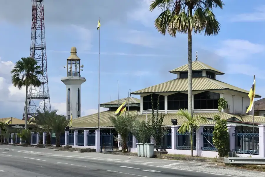
- Top sights: Teapot · Menara Cendera Kenangan · Belait District Museum
- Nearby: Seria (14 km)
Best time to visit & climate
The most pleasant time to visit is Feb–Apr.
| Jan | Feb | Mar | Apr | May | Jun | Jul | Aug | Sep | Oct | Nov | Dec | |
|---|---|---|---|---|---|---|---|---|---|---|---|---|
| Avg °C | 27 | 27 | 27 | 28 | 29 | 29 | 28 | 28 | 28 | 28 | 28 | 28 |
| Rain mm | 347 | 156 | 153 | 187 | 202 | 222 | 216 | 211 | 214 | 294 | 312 | 377 |
📋 Practical info
Geography
Explore nearby
Notable places around
Route planner — Car & Motorhome
Where do you start? We build the route here, with stops and country notes along the way.
© OpenStreetMap contributors · OpenRouteService
Sights in the town Kuala Belait Port (8)
Goldunited Sdn Bhd🎭 culture
This marketplace facility in Kuala Belait operates as a commercial hub where diverse retail goods and local merchandise are traded.
Sights nearby
Frequently asked questions
What is the Kuala Belait port used for?
Can large ships dock there?
Where is the port located?
Is it interesting for tourists?
How to reach it from Seria?
Kuala Belait Port: where is it located?
Kuala Belait Port: what is there to see?
Kuala Belait Port: when is the best time to visit?
Kuala Belait Port: why is it worth visiting?

Nearby cities

Nature
More places