Plizio Visual Lab
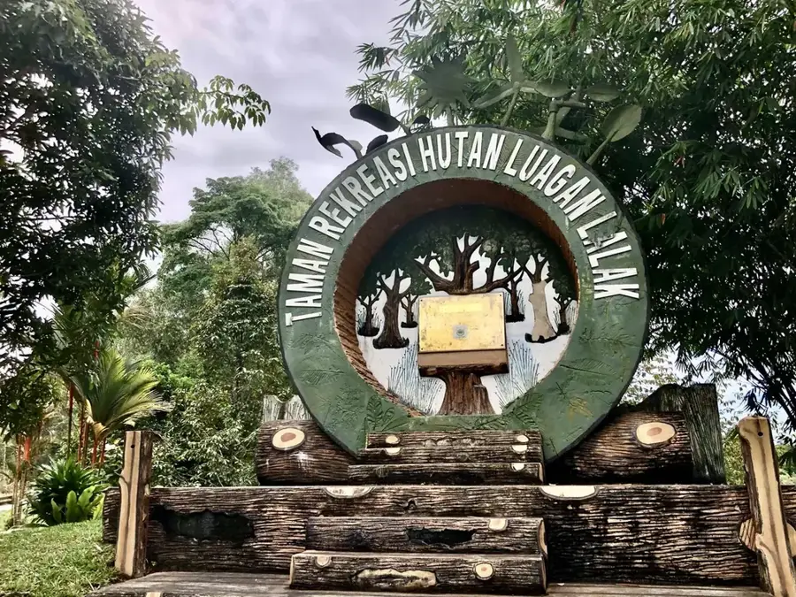
Bukit Teraja
Weather…
Water temperature…
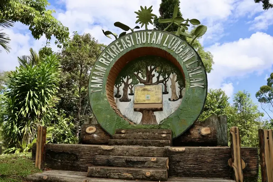
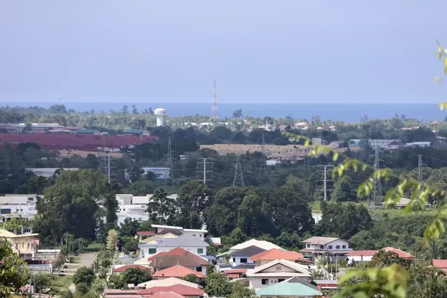
At 417 meters, Bukit Teraja is one of the highest accessible hills in the Belait district of Brunei. It is part of the Bukit Teraja Recreation Park, a popular destination for hikers and nature enthusiasts. The trail to the summit leads through dense tropical rainforest and is known for its challenging yet rewarding climbs. Along the way, there are several waterfalls, with Wasai Teraja being the most prominent. These falls offer refreshing swimming spots and easy on the eye resting points. From the peak of Bukit Teraja, clear days afford expansive views over the surrounding forests and towards the South China Sea coastline. The area is rich in flora and fauna, offering chances to spot monkeys, exotic birds, and a variety of insects. The park is co-managed by the local Iban community.
- Location: Brunei
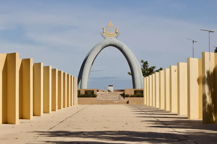
- Nearby: Seria (14 km)
Best time to visit & climate
The most pleasant time to visit is Feb–Apr.
| Jan | Feb | Mar | Apr | May | Jun | Jul | Aug | Sep | Oct | Nov | Dec | |
|---|---|---|---|---|---|---|---|---|---|---|---|---|
| Avg °C | 26 | 26 | 26 | 27 | 27 | 27 | 27 | 27 | 27 | 26 | 26 | 26 |
| Rain mm | 334 | 164 | 163 | 210 | 226 | 235 | 225 | 214 | 228 | 299 | 319 | 359 |
📋 Practical info
Geography
Facts
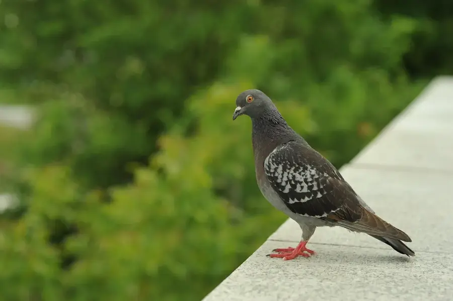
- Good vantage points for birdwatchers.
- Numerous waterfalls nearby.
Explore nearby
Notable places around
Route planner — Car & Motorhome
Where do you start? We build the route here, with stops and country notes along the way.
© OpenStreetMap contributors · OpenRouteService
Sights nearby
Frequently asked questions
What characterizes Bukit Teraja?
How long does the hike to Bukit Teraja take?
Are there waterfalls nearby?
Do I need a guide for Bukit Teraja?
Can you see Malaysia from there?
Bukit Teraja: where is it located?
Bukit Teraja: when is the best time to visit?
Bukit Teraja: why is it worth visiting?

Nearby cities


Nature
More places