Plizio Visual Lab
Belait River
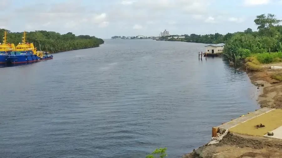
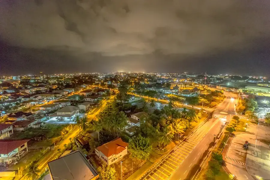
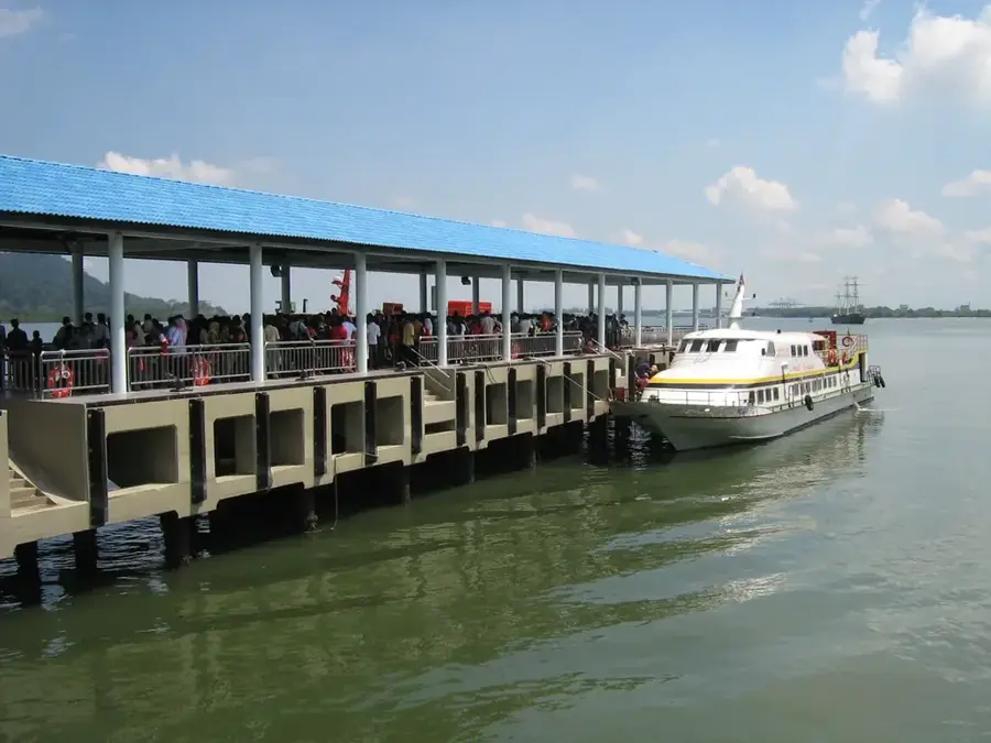
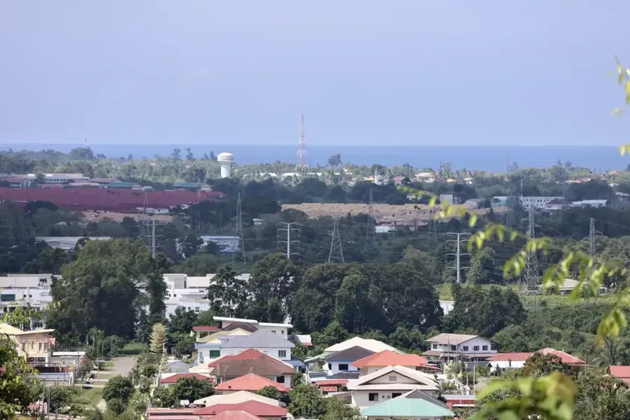
The Belait River, stretching approximately 209 kilometers, is the longest river in Brunei Darussalam, flowing through the Belait District. It originates in the hilly interior and empties into the South China Sea at Kuala Belait. The river has played a central role in the history and economy of the sultanate, serving for decades as the primary transportation route for the burgeoning oil and gas industry. Extensive mangrove forests and peat swamp ecosystems line its banks, providing a sanctuary for numerous endangered species such as the proboscis monkey and various types of crocodiles. In the upper reaches of the river, traditional longhouses of indigenous communities can be found, where people maintain a close connection to the water. The river is also a popular venue for fishing and boat tours, allowing visitors to witness untouched nature and spirited wildlife. Water quality is regularly monitored to mitigate the effects of industrial activities in the region. The Belait River remains a vital water source and a powerful symbol of the intersection between Brunei’s industrial progress and its ecological heritage.
- Location: Brunei
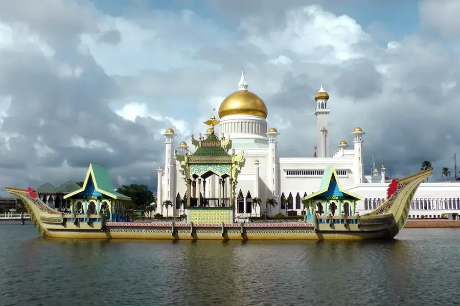
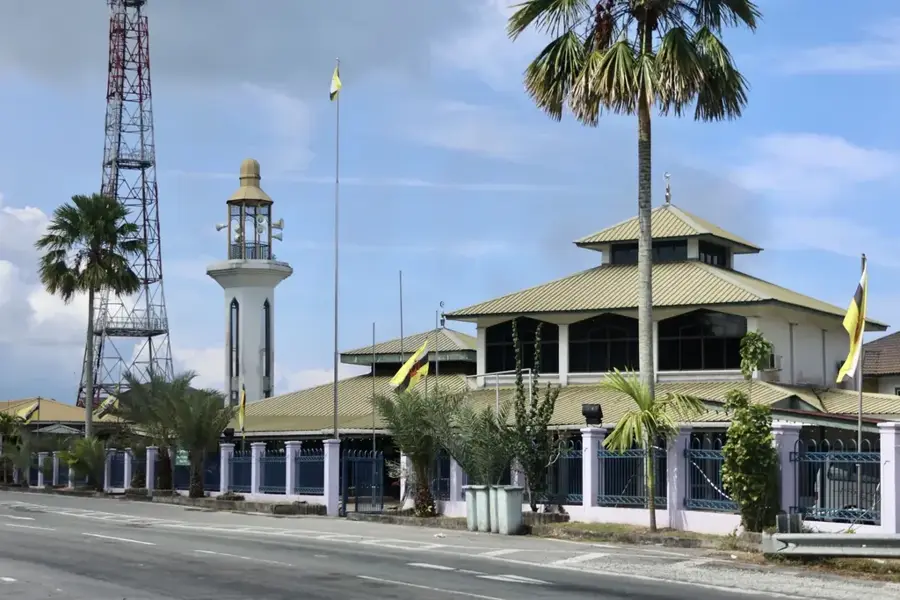
- Top sights: St. John's Church · Menara Cendera Kenangan · Mohammad Jamalul Alam Mosque
- Nearby: Seria (14 km)
Best time to visit & climate
The most pleasant time to visit is Feb–Apr.
| Jan | Feb | Mar | Apr | May | Jun | Jul | Aug | Sep | Oct | Nov | Dec | |
|---|---|---|---|---|---|---|---|---|---|---|---|---|
| Avg °C | 27 | 27 | 27 | 28 | 29 | 29 | 28 | 28 | 28 | 28 | 28 | 28 |
| Rain mm | 347 | 156 | 153 | 187 | 202 | 222 | 216 | 211 | 214 | 294 | 312 | 377 |
📋 Practical info
Geography
Facts
- The longest river in Brunei at 209 kilometers in length.
- It discharges into the South China Sea at Kuala Belait.
- Crucial as a logistical route for the oil and gas sector.
- Features extensive mangrove and peat swamp habitats.
- Home to diverse species including crocodiles and monkeys.
- Traditional Iban longhouses are situated along its banks.
Explore nearby
Notable places around
Route planner — Car & Motorhome
Where do you start? We build the route here, with stops and country notes along the way.
© OpenStreetMap contributors · OpenRouteService
Sights in the town Belait River (7)
Belait District Museum🏛 museum
Museum in Belait District, Brunei, showcasing local history and culture.
Masjid Kampong Sungai Teraban
Mosque in Kampong Sungai Teraban, Brunei, serving the Muslim community.
Teapot
Monument shaped like a teapot in Brunei.
Sights nearby
Frequently asked questions
Can you take boat tours on the river?
Are there crocodiles in the river?
What role does the river play for the region?
Can you go fishing on the riverbank?
Are there floating settlements?
Belait River: where is it located?
Belait River: what is there to see?
Belait River: when is the best time to visit?
Belait River: why is it worth visiting?

Nearby cities


Nature
More places