Plizio Visual Lab
Monte Pascoal
Weather…
Water temperature…
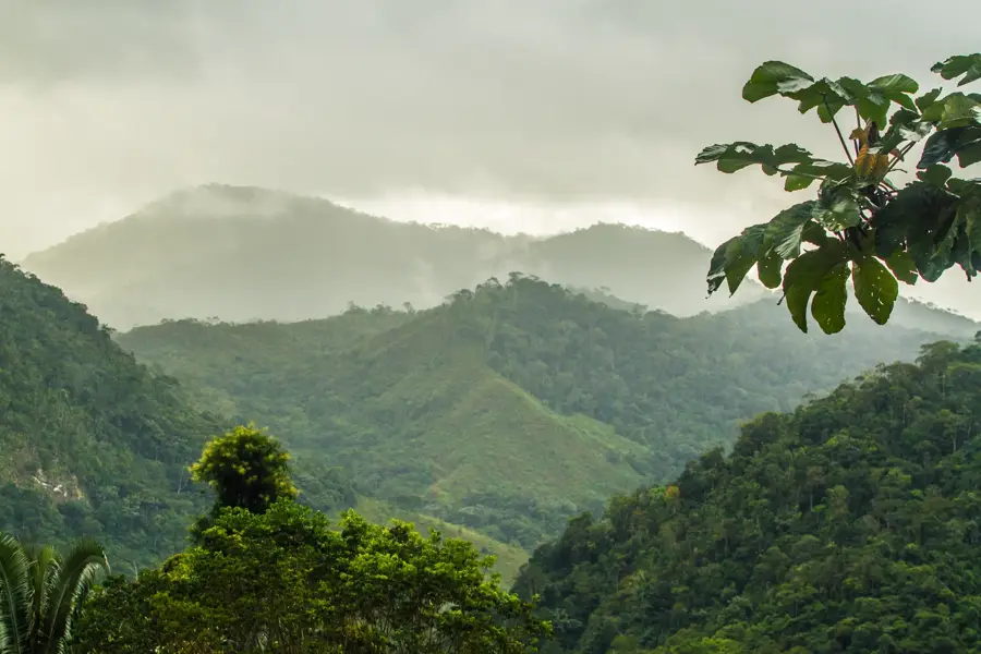
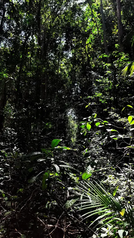
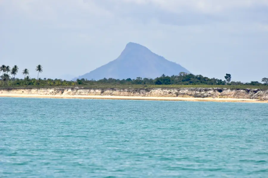
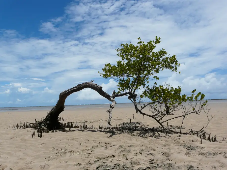
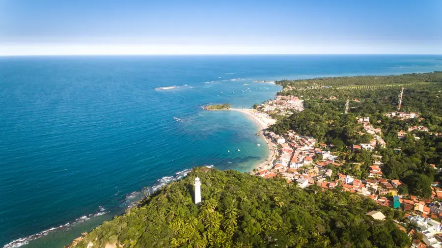
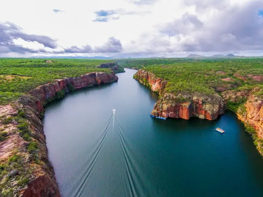
Monte Pascoal is a 536-meter-high peak located in the south of Bahia state, holding immense significance in Brazilian history. On April 22, 1500, it was the first piece of land sighted by the Portuguese fleet commanded by Pedro Álvares Cabral, marking the official European discovery of Brazil. The mountain was named after the Easter week (Páscoa in Portuguese) during which the sighting occurred. Today, it serves as the center of the Monte Pascoal National Park, established in 1961 to protect one of the last remaining fragments of the original Atlantic Forest (Mata Atlântica) in the northeast. The surrounding area is also an indigenous territory belonging to the Pataxó people, who regard the mountain as a sacred ancestral site. Its conical shape made it a reliable natural lighthouse for mariners navigating the Brazilian coast for centuries.
- Location: Brazil
- Nearby: Caraiva (29 km)
Best time to visit & climate
The most pleasant time to visit is Jul–Sep.
| Jan | Feb | Mar | Apr | May | Jun | Jul | Aug | Sep | Oct | Nov | Dec | |
|---|---|---|---|---|---|---|---|---|---|---|---|---|
| Avg °C | 26 | 26 | 26 | 25 | 24 | 23 | 22 | 22 | 23 | 25 | 25 | 26 |
| Rain mm | 87 | 77 | 126 | 130 | 94 | 92 | 82 | 71 | 63 | 105 | 170 | 123 |
📋 Practical info
Geography
Facts
- The peak stands at an elevation of 536 meters
- Sighted by Portuguese explorers on April 22, 1500
- The national park was officially created in 1961
- Named after the Easter holiday period of the discovery
- The area is recognized as Pataxó indigenous territory
- Part of the UNESCO Discovery Coast Atlantic Forest Reserves
Explore nearby
Notable places around
Route planner — Car & Motorhome
Where do you start? We build the route here, with stops and country notes along the way.
© OpenStreetMap contributors · OpenRouteService
Sights in the town Monte Pascoal (1)
Sights nearby
Frequently asked questions
What is the historical significance of Monte Pascoal?
Where is the mountain located?
Can you climb to the summit?
Is the area inhabited by indigenous peoples?
What type of vegetation is found there?
Monte Pascoal: where is it located?
Monte Pascoal: when is the best time to visit?
Monte Pascoal: why is it worth visiting?

Nearby cities

History & landmarks
Nature
More places