Plizio Visual Lab
Itaunas
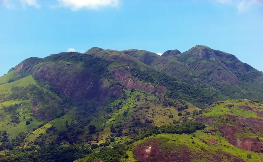
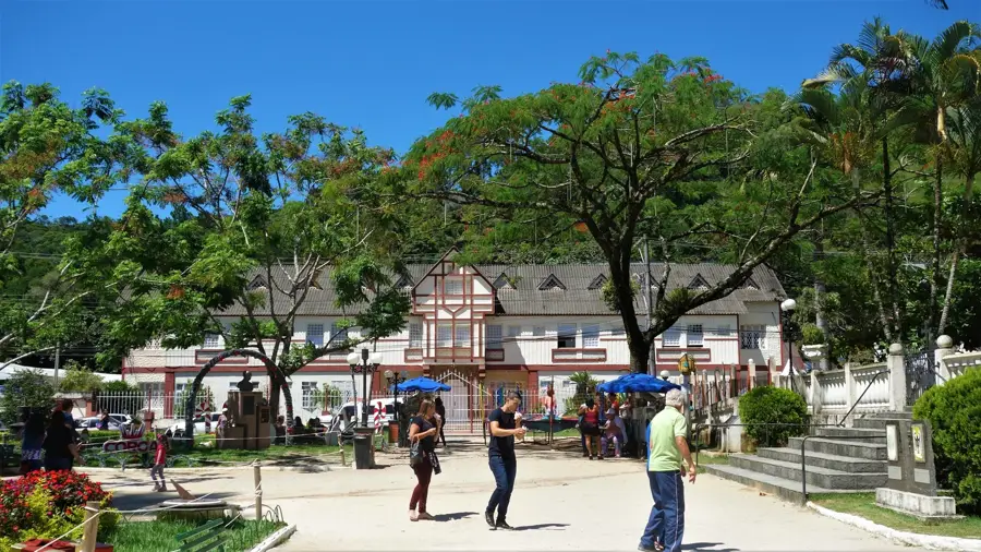
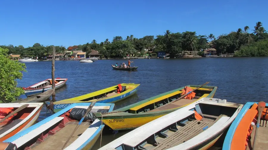
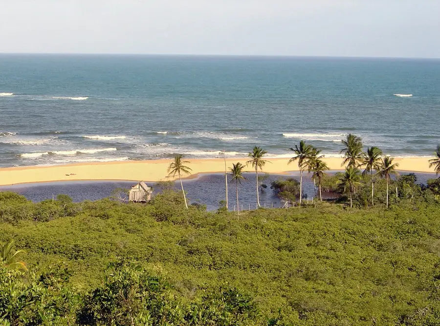
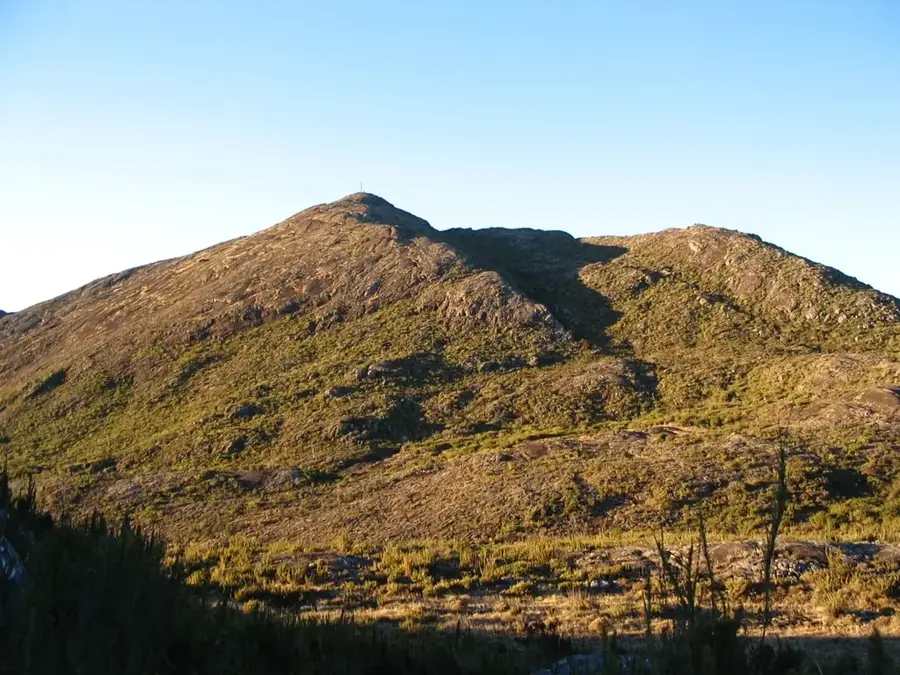
The defining feature of Itaúnas is the massive 30-meter-high sand dunes that separate the village from the ocean. In the 1950s and 60s, deforestation caused these dunes to shift, completely burying the old town. Residents were forced to rebuild further inland. Visitors can still see the top of the old church ruins emerging from the sand. The Itaúnas State Park protects this unique landscape along with 25 kilometers of untouched beaches. Every July, the village hosts the National Forró Festival, drawing thousands of dancers and musicians to its sandy streets. The local beaches serve as important nesting grounds for sea turtles, monitored by the Tamar Project. The regional food includes moqueca capixaba, a fish stew traditionally cooked in a clay pot without the palm oil used in neighboring Bahia. The village is located near the border with Bahia, about 270 kilometers from Vitória. The last 20 kilometers of the journey involves driving on a dirt road that can become rutted after rain. The weather is warm throughout the year, but the summer months between December and March offer the best beach conditions and lively nightlife.
- Location: Brazil
- Top sights: Tronco · Parque Estadual de Itaúnas · Praia Itaúnas
Geography
Facts
- Old town buried by sand dunes
- 30-meter-high sand dunes
- Known as the capital of Forró
- National Forró Festival in July
- Itaúnas State Park protects the area
- Sea turtle nesting grounds
- Located 270 km from Vitória
- Moqueca capixaba cooked in clay pots
Route planner — Car & Motorhome
Where do you start? We build the route here, with stops and country notes along the way.
© OpenStreetMap contributors · OpenRouteService
Sights in the town Itaunas (3)
Frequently asked questions
Itaunas: where is it located?
Itaunas: what is there to see?
Itaunas: why is it worth visiting?

Nearby cities